Short Creek Falls
Macon County, North Carolina
Your visit at a glance
- Waterfall height
- Not recorded
- Location
- Macon County, North Carolina
- Access status
- National forest; short bushwhack up a creek
- The walk
- About 0.3 miles each way
- Ground & access
- Moderate to difficult bushwhack along a small creek lined with rhododendron. Poison ivy along FS 57A.
From the junction of US 64 and NC 106 in Highlands, drive 6.7 miles west on US 64 (10.05 miles east of US 23/441 in Franklin) to a small paved pullout on the left (Cullasaja River) side of the road. Short Creek flows under US 64 at the pullout. Follow the creek upstream; there is no trail, and the right bank (facing downstream) is easier. You pass two smaller waterfalls before reaching Short Creek Falls, a 12 foot sliding and free-falling drop that is the largest and farthest upstream of the three. For the return, NC Waterfalls suggests old road FS 57A, which passes a poor view of the upper falls; it is overgrown and has poison ivy.
Plan your visit
US 64 pullout in the Cullasaja River Gorge, bushwhack up Short Creek past two smaller falls
NC Waterfalls gives a hike distance of approximately 0.3 miles.
Moderate to difficult bushwhack along a small creek lined with rhododendron. Poison ivy along FS 57A.
Where to start
Small paved pullout on the Cullasaja River side of US 64. Published trailhead coordinates: 35.096029, -83.2635.
Timing & water
No closure is mentioned in the source read.
Before you go
No fee is mentioned in the source read. Nantahala National Forest, Nantahala Ranger District.
Visitor informationMore waterfalls nearby
Within 40 straight-line miles. Road and trail distances will differ.
- Quarry FallsSource-reviewed route and parkingMacon County, NC0.4 miW
- Scandin FallsSteep, dangerous path from a tiny highway pulloutMacon County, NC0.7 miSW
- Shut In FallsMacon County, NC0.8 miS
- Cullasaja FallsRoadside viewpoint on a dangerous highway pullout documented by two accounts and the Forest ServiceMacon County, NC1.7 miN
- Crow Creek FallsMacon County, NC1.9 miNW
- Upper Crow Creek FallsMacon County, NC2.0 miNW
- Ranger FallsNational forest trail in a fee recreation areaMacon County, NC2.0 miE
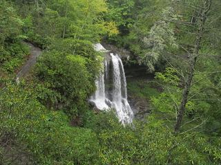 Dry FallsResearched visit notesMacon County, NC2.1 miSE
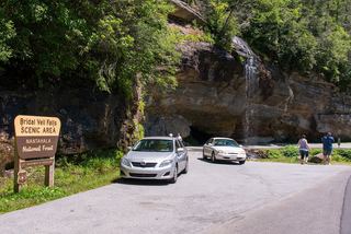 Bridal Veil FallsPull-off verified; pedestrian approach unspecified60 ft (18.3 m) · Macon County, NC2.3 miSE