Dry Falls
Macon County, North Carolina
Your visit at a glance
- Waterfall height
- Not recorded
- Location
- Macon County, North Carolina
- The walk
- Published 0.1-mile route; basis unspecified
- Ground & access
- Boardwalk viewpoint; descending paved path for the closer visit.
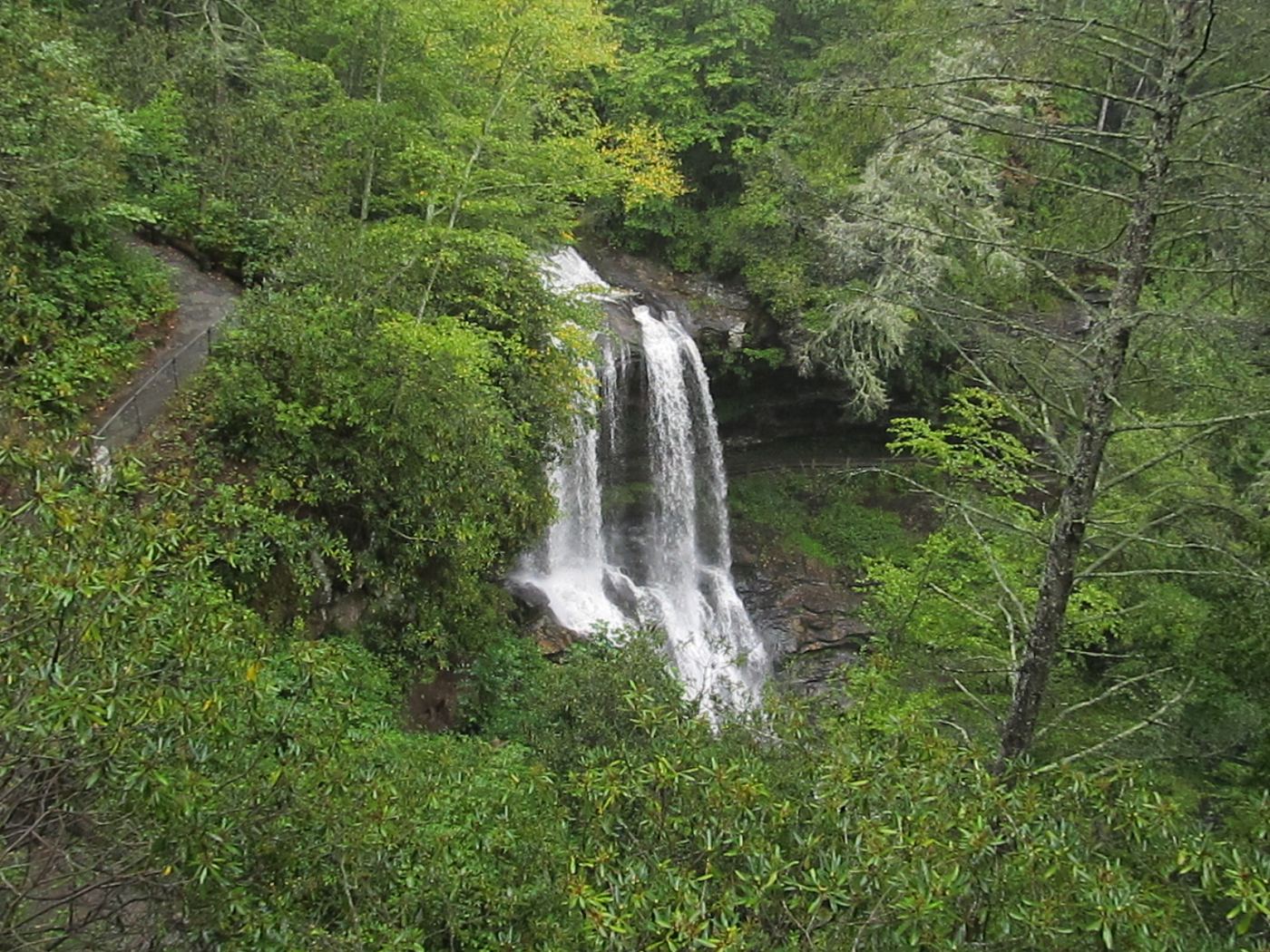
Choose the boardwalk viewpoint or descend the paved path behind the waterfall.
Plan your visit
Accessible overlook or descending path behind falls
Tourism page does not label 0.1 mile one-way or round-trip; overlook distance is not separately given.
Boardwalk viewpoint; descending paved path for the closer visit.
Where to start
Signed lot off US 64 west of Highlands, 4468 Highlands Road.
Timing & water
Recreation.gov lists year-round operation; check closures.
Before you go
Recreation.gov sells a vehicle day pass; current price not established.
Visitor informationMore waterfalls nearby
Within 40 straight-line miles. Road and trail distances will differ.
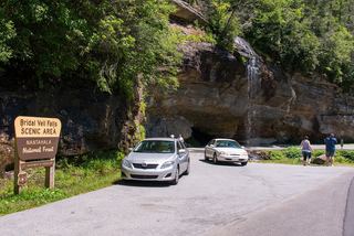 Bridal Veil FallsPull-off verified; pedestrian approach unspecified60 ft (18.3 m) · Macon County, NC0.6 miE
- Kalakaleskies FallsRoadside pullout; short path to the top of the fallsMacon County, NC0.8 miE
- Sequoah FallsRoadside view of a dam spillwayMacon County, NC0.8 miE
- Naiad FallsBoat access only; private land at the fallsMacon County, NC1.3 miSE
- Laurel FallsMacon County, NC1.5 miE
- Ranger FallsNational forest trail in a fee recreation areaMacon County, NC1.6 miNE
- Shut In FallsMacon County, NC1.6 miNW
- Scandin FallsSteep, dangerous path from a tiny highway pulloutMacon County, NC1.9 miNW
- Skitty Creek FallsMacon County, NC2.0 miNE