Tucker Creek Falls
Transylvania County, North Carolina
Your visit at a glance
- Waterfall height
- Not recorded
- Location
- Transylvania County, North Carolina
- Access status
- National forest; steep bank and creek walk
- The walk
- About 0.1 to 0.2 miles each way
- Ground & access
- Difficult. A steep bank scramble with no path, then creek walking. Climbing back up is tricky. The rocks are very slippery.
In the Balsam Grove community, turn off NC 215 onto Tanasee Gap Road (8.3 miles south of the Blue Ridge Parkway and 8.7 miles north of US 64). Drive about 1.4 to 1.45 miles and turn left on unpaved Pressley Fields Road. Park on the side of the road a short way along (NC Waterfalls: 0.1 miles, on the left; Waterfall Hero: about a quarter mile, on the right after the second surveillance sign). There is no trail. Climb down the steep bank to Tucker Creek, then walk upstream in or beside the creek just over 0.1 miles to the base of the falls. NC Waterfalls suggests crossing the creek well downstream to avoid thick rhododendron.
Plan your visit
Pressley Fields Road pull-off near Balsam Grove, steep bank down to Tucker Creek, creek walk upstream to the falls
NC Waterfalls gives less than 0.1 miles. Waterfall Hero gives a hike length of 0.4 miles, with just over 0.1 miles of creek walking each way.
Difficult. A steep bank scramble with no path, then creek walking. Climbing back up is tricky. The rocks are very slippery.
Where to start
Roadside on Pressley Fields Road. NC Waterfalls trailhead coordinates: 35.21742, -82.886019.
Timing & water
No closure is mentioned in the sources read.
Before you go
No fee is mentioned in the sources read. Pisgah National Forest, Pisgah Ranger District.
Visitor informationMore waterfalls nearby
Within 40 straight-line miles. Road and trail distances will differ.
- Lamance Creek FallsTransylvania County, NC0.7 miSW
- Bird Rock FallsPrivate land with permitted public access; short riverside path documented by two accountsTransylvania County, NC1.5 miE
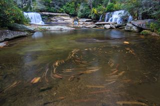 French Broad FallsPrivate land with permitted public access; short path documented by three accountsTransylvania County, NC1.5 miE
- Pulpit FallsPartial guide: private ministry land; access allowed per a visitor guide, owner policy not confirmedTransylvania County, NC1.5 miE
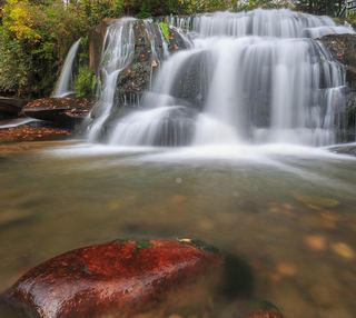 Shoal Creek FallsTransylvania County, NC1.5 miE
- Lemon FallsRoadside pullout and short steep scrambleTransylvania County, NC1.8 miSE
- Bruce Knob FallsTransylvania County, NC2.0 miNW
- Johnnies Creek FallsTransylvania County, NC2.1 miNW
- John Neal FallsForest road and unofficial logging road with six creek crossingsTransylvania County, NC2.2 miSW