Warden Falls
Jackson County, North Carolina
Your visit at a glance
- Waterfall height
- Not recorded
- Location
- Jackson County, North Carolina
- Access status
- Forest trails, then a steep scramble path to the base
- The walk
- About 3.4 miles return
- Ground & access
- Old road and trail, then a very steep scramble at the end. The river crossing may be a wade or impossible in high water.
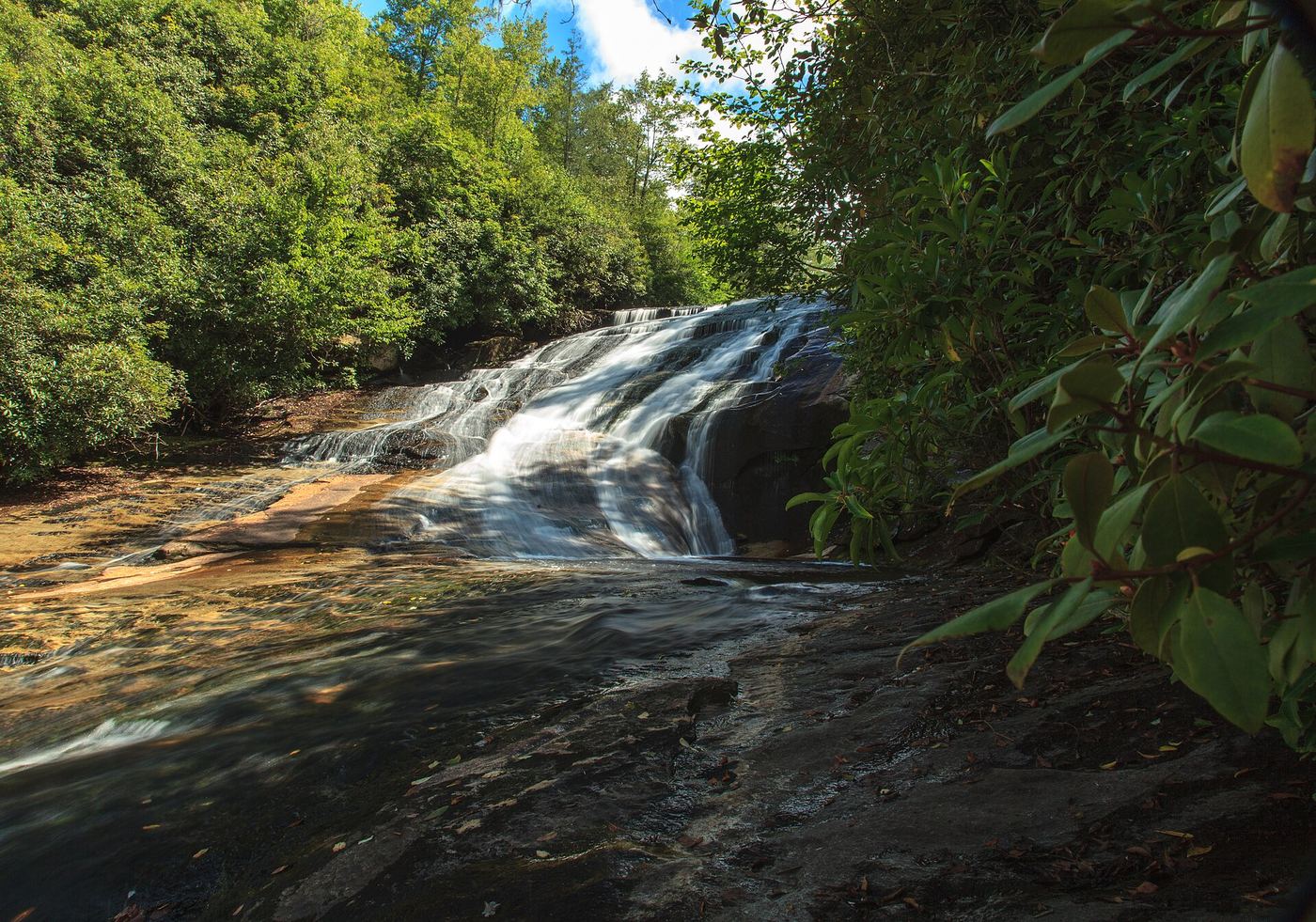
Take Panthertown Valley Trail (#474) from behind the kiosk at the far end of the parking lot. It joins an old road that switchbacks down toward Greenland Creek. At one mile, just before the bridge over Greenland Creek, turn right on Devils Elbow Trail (#448). Follow it about half a mile, under the powerlines, to a clearing with a fire ring. A path on the left leads down to the top of the falls; a scramble path on the right drops to the base. Crossing the river gives the best view.
Plan your visit
Cold Mountain Gap access to Panthertown Valley, Panthertown Valley Trail (#474) and Devils Elbow Trail (#448), then a path down to the Tuckasegee River
Waterfall Hero lists a 3.4 mile hike length.
Old road and trail, then a very steep scramble at the end. The river crossing may be a wade or impossible in high water.
Where to start
Cold Mountain Gap parking at the end of Cold Mountain Road off NC 281, near Lake Toxaway. Trailhead GPS 35.15766, -82.99869.
Timing & water
No closure is stated by the source. High water can stop the river crossing.
Before you go
Nantahala Ranger District, Nantahala National Forest. No fee is stated by the source.
Visitor informationMore waterfalls nearby
Within 40 straight-line miles. Road and trail distances will differ.
- Jawbone FallsNamed national forest trails, then a short informal path to the baseJackson County, NC0.2 miNE
- Riding Ford FallsBackcountry trail route from Cold Mountain GapJackson County, NC0.3 miNE
- Elbow FallsPanthertown trails and a defined side path from the Cold Mountain Gap accessJackson County, NC0.5 miN
- Red Butt FallsNational forest trails; short unofficial path and scrambleJackson County, NC0.6 miN
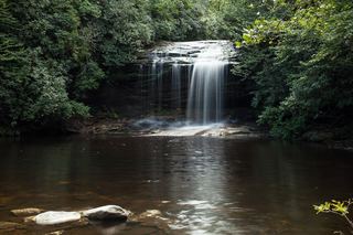 Schoolhouse FallsNational forest trailsJackson County, NC0.6 miS
- Lichen FallsPartial guide: river wade with no trail; location given by description onlyJackson County, NC0.8 miN
- Pothole FallsShort backcountry trail from Cold Mountain GapJackson County, NC1.1 miS
- Mac's FallsNational forest trail; short side pathJackson County, NC1.1 miS
- Coolidge FallsJackson County, NC1.2 miW