Red Butt Falls
Jackson County, North Carolina
Your visit at a glance
- Waterfall height
- Not recorded
- Location
- Jackson County, North Carolina
- Access status
- National forest trails; short unofficial path and scramble
- The walk
- About 2.5 miles each way
- Ground & access
- Moderate trails, then an unofficial path and a rock scramble. The rocks are very slippery.
From US 64 at Lake Toxaway, take NC 281 north just under a mile and bear left on Cold Mountain Road. Go to the end of the road (about 5.7 to 5.8 miles), turn left on gravel Panthertown Road, and turn right into the Cold Mountain Gap parking area, the east entrance to Panthertown Valley. Take Panthertown Valley Trail (#474) from the end of the parking area down the switchbacks. In about a mile, turn right on Devils Elbow Trail (#448). Go about a mile; after crossing Little Green Creek, bear right at the split with Riding Ford Trail (#450) to stay on Devils Elbow Trail. In another 0.3 miles, where the trail turns right, take the obvious path to the left. It reaches another fork in 0.1 miles. Go straight (right) and follow this path about 0.2 miles to Red Butt Falls, a long sliding waterfall on the Tuckasegee River. The left fork goes to Elbow Falls, from which a path follows the river about 0.3 miles down to Red Butt Falls. Climb down the rocks to the base; the two guides name different sides of the river for this.
Plan your visit
Cold Mountain Gap access to Panthertown Valley, Panthertown Valley Trail (#474) and Devils Elbow Trail (#448), then an unofficial path to the falls
Take a Hike gives about 5 miles round trip from the Cold Mountain Gap parking area.
Moderate trails, then an unofficial path and a rock scramble. The rocks are very slippery.
Where to start
Cold Mountain Gap parking area at the end of Cold Mountain Road (no horse trailer access). Published trailhead coordinates: 35.15766, -82.99869.
Timing & water
No closure is mentioned in the sources read.
Before you go
No fee is mentioned in the sources read. Panthertown Valley, Nantahala National Forest.
Visitor informationVisit sources
More waterfalls nearby
Within 40 straight-line miles. Road and trail distances will differ.
- Lichen FallsPartial guide: river wade with no trail; location given by description onlyJackson County, NC0.2 miN
- Elbow FallsPanthertown trails and a defined side path from the Cold Mountain Gap accessJackson County, NC0.2 miSE
- Riding Ford FallsBackcountry trail route from Cold Mountain GapJackson County, NC0.5 miSE
- Jawbone FallsNamed national forest trails, then a short informal path to the baseJackson County, NC0.5 miS
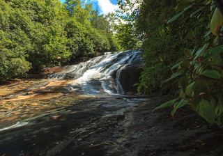 Warden FallsForest trails, then a steep scramble path to the baseJackson County, NC0.6 miS
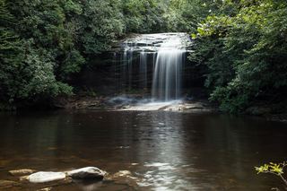 Schoolhouse FallsNational forest trailsJackson County, NC1.2 miS
- Coolidge FallsJackson County, NC1.4 miSW
- Pothole FallsShort backcountry trail from Cold Mountain GapJackson County, NC1.7 miS
- Granny Burrell FallsWest-entrance route and parking researchedJackson County, NC1.7 miSW