Elbow Falls
Jackson County, North Carolina
Your visit at a glance
- Waterfall height
- Not recorded
- Location
- Jackson County, North Carolina
- Access status
- Panthertown trails and a defined side path from the Cold Mountain Gap access
- The walk
- About 4.8 miles return (about 2.4 miles one way)
- Ground & access
- Old roads and footpaths with switchbacks; rocks around the falls are very slippery.
Elbow Falls is a 10-foot drop on the Tuckasegee River in Panthertown Valley where the river turns 90 degrees into a deep crevice, with potholes and a swimming hole. From Cold Mountain Gap, descend Panthertown Valley Trail (#474) about a mile, turn right on Devils Elbow Trail (#448), pass the Riding Ford Trail (#450) split after Little Green Creek, continue 0.3 mile to where the trail turns right, and take the obvious path left; at a fork in 0.1 mile go left downstream to Elbow Falls. A big rock near the base gives the view. The legacy NC Waterfalls account marks the side path by a small rock in the trail after a wet seep.
Plan your visit
Cold Mountain Gap trailhead via Panthertown Valley and Devils Elbow trails to Elbow Falls
Waterfall Hero gives about 1 mile on Panthertown Valley Trail, about 1 mile on Devils Elbow Trail to the Riding Ford junction, 0.3 mile more on Devils Elbow Trail and 0.1 mile on the side path, about 2.4 miles one way; the return figure doubles that. Red Butt Falls is 0.3 mile farther downstream.
Old roads and footpaths with switchbacks; rocks around the falls are very slippery.
Where to start
Cold Mountain Gap trailhead: from US 64 east of Lake Toxaway take NC 281 north just under a mile, bear left on Cold Mountain Road 5.7 miles to its end, left on the gravel road and right into the parking area. Trailhead GPS 35.15766, -82.99869. Parking is limited and prohibited on Cold Mountain Road.
Timing & water
Open year round. Only cross the river at Red Butt Falls in normal flow.
Before you go
Nantahala National Forest, Panthertown Valley backcountry area. No fee. Bear-resistant containers are required for overnight camping.
Visitor informationVisit sources
More waterfalls nearby
Within 40 straight-line miles. Road and trail distances will differ.
- Red Butt FallsNational forest trails; short unofficial path and scrambleJackson County, NC0.2 miNW
- Riding Ford FallsBackcountry trail route from Cold Mountain GapJackson County, NC0.3 miS
- Jawbone FallsNamed national forest trails, then a short informal path to the baseJackson County, NC0.3 miS
- Lichen FallsPartial guide: river wade with no trail; location given by description onlyJackson County, NC0.4 miN
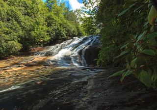 Warden FallsForest trails, then a steep scramble path to the baseJackson County, NC0.5 miS
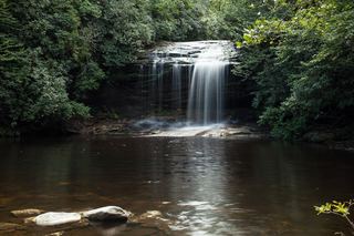 Schoolhouse FallsNational forest trailsJackson County, NC1.0 miS
- Coolidge FallsJackson County, NC1.5 miSW
- Pothole FallsShort backcountry trail from Cold Mountain GapJackson County, NC1.6 miS
- Mac's FallsNational forest trail; short side pathJackson County, NC1.6 miS