Upper Logging Road Falls
Transylvania County, North Carolina
Your visit at a glance
- Waterfall height
- Not recorded
- Location
- Transylvania County, North Carolina
- Access status
- National forest; forest road then a short off-trail climb
- The walk
- About 1.7 miles each way
- Ground & access
- Difficult. Gated forest road, then a steep off-trail ridge climb and a steep descent to the base. For hikers comfortable off trail.
Upper Logging Road Falls is a multilevel waterfall about 70 feet high on a small tributary of Big Bearpen Branch in Pisgah National Forest. NC Waterfalls describes this route. Start at the gate on FS 5043 on the outside of the curve. Pass a wide wooden bridge at 0.2 miles and a second bridge near Log Hollow Falls about 0.3 miles later. Continue a little over 0.4 miles to Logging Road Falls beside the road. Go about another quarter mile on FS 5043 to a side path on the right that climbs the ridge beside the creek, shortly after the road swings around the ridge (published start point 35.320288, -82.811681). The path is clear for about 250 yards, then it is an off-trail climb up the broad ridge for a little over 0.3 miles to the old Seniard Ridge Road. Turn right; it is a little over 0.1 miles to the creek crossing above the falls. For the base, leave the old road before the creek and descend to the falls. Return the same way.
Plan your visit
FS 475B (Headwaters Road) curve parking, gated FS 5043 past Log Hollow and Logging Road Falls, then a ridge bushwhack to Seniard Ridge Road and down to Upper Logging Road Falls
NC Waterfalls gives about 1.7 miles when hiking the ridge route described here.
Difficult. Gated forest road, then a steep off-trail ridge climb and a steep descent to the base. For hikers comfortable off trail.
Where to start
Pull-off on the outside of a sharp left curve on FS 475B (Headwaters Road), 1.65 miles from US 276, at a forest management sign. Published trailhead coordinates: 35.32641, -82.80176.
Timing & water
The falls are small and best after rain. FS 475B is a gravel road.
Before you go
No fee is mentioned in the sources read. Pisgah National Forest, Pisgah Ranger District.
Visitor informationVisit sources
More waterfalls nearby
Within 40 straight-line miles. Road and trail distances will differ.
- Logging Road FallsEasy walk on a gated forest roadTransylvania County, NC0.2 miSE
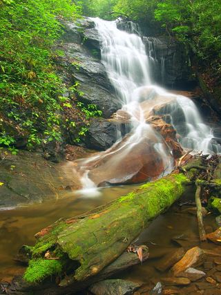 Upper Log Hollow FallsForest road walk and steep side path in Pisgah National ForestTransylvania County, NC0.4 miE
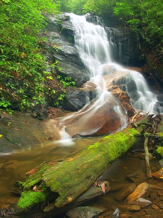 Log Hollow FallsGated forest road walk; easyTransylvania County, NC0.4 miE
- Discovery FallsNational forest; forest road and unofficial pathTransylvania County, NC0.5 miNE
- Cherry Cove FallsDetailed firsthand route on unofficial paths from a Forest Service roadTransylvania County, NC0.9 miNE
- Big Bearpen FallsTransylvania County, NC0.9 miSE
- Dark Prong FallsHaywood County, NC1.1 miW
- Skinny Dip FallsShort trail from a Blue Ridge Parkway overlook; creek crossing without a bridgeHaywood County, NC1.1 miW
- Bennett Cove FallsPublished route on national forest land; informal side pathsTransylvania County, NC1.1 miNE