Dome Falls
Macon County, North Carolina
Your visit at a glance
- Waterfall height
- Not recorded
- Location
- Macon County, North Carolina
- Access status
- Partial: no trail; extremely difficult bushwhack
- The walk
- About 1.4 miles return, mostly off trail
- Ground & access
- Extremely difficult. No trail. Dense rhododendron, creek walking and very slippery rocks.
From US 64 in Highlands, drive south on NC 106 for 9.3 miles to a small pulloff on the right at a yellow school bus sign, with room for one or two cars. Follow the path down under the power lines to a split; go left up a ridge, ignore side paths, turn right where a trail comes in from private property at 0.2 miles, and at about 0.3 miles pass the side path to the top of Middle Creek Falls. Before the base of Middle Creek Falls, leave the trail and head down and away from the creek through dense rhododendron to an unnamed tributary at about 0.5 miles, then creek-walk downstream around cascades to the base of Dome Falls, a 30 foot drop split around a rock dome, viewed from an island just downstream. This is a partial guide: there is no trail, the source's author could not find the old logging road and did not think the trip was worth the effort.
Plan your visit
NC 106 pulloff at the school bus sign near Scaly Mountain, paths toward Middle Creek Falls, then a trail-less bushwhack down Middle Creek to Dome Falls
Waterfall Hero lists the hike as 1.4 miles with an estimated time of over 4 hours, rated extremely difficult.
Extremely difficult. No trail. Dense rhododendron, creek walking and very slippery rocks.
Where to start
Tiny pulloff on the right of NC 106 at a yellow school bus sign, 9.3 miles south of US 64. Published trailhead coordinates: 35.00693, -83.32907.
Timing & water
Not stated. Low water makes creek walking safer.
Before you go
No fee is mentioned. Nantahala National Forest. A side trail at 0.2 miles leads to private property; do not take it.
Visitor informationVisit sources
More waterfalls nearby
Within 40 straight-line miles. Road and trail distances will differ.
- Middle Creek FallsNational forest; unofficial path, very difficultMacon County, NC0.3 miSE
- Upper Middle Creek FallsShort path from a small highway pull-off to an overlookMacon County, NC0.6 miSE
- Serenity FallsMacon County, NC3.3 miE
- Lower Serenity FallsMacon County, NC3.4 miE
- Catstairs FallsMacon County, NC3.6 miE
- Blue Valley FallsMacon County, NC4.4 miE
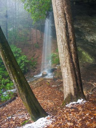 Picklesimer Rock House FallsEasy walk on a gated forest road in Nantahala National ForestMacon County, NC4.7 miE
- Chasm FallsShort but difficult; creek crossing for the base viewMacon County, NC5.0 miE
- Glen FallsParking and overlook approach researchedMacon County, NC5.7 miE