Picklesimer Rock House Falls
Macon County, North Carolina
Your visit at a glance
- Waterfall height
- Not recorded
- Location
- Macon County, North Carolina
- Access status
- Easy walk on a gated forest road in Nantahala National Forest
- The walk
- About 1 mile return
- Ground & access
- Easy old road, then a short creekside path. Rocks around the falls are very slippery. A 2020 reader report says a large dead tree had fallen across the falls.
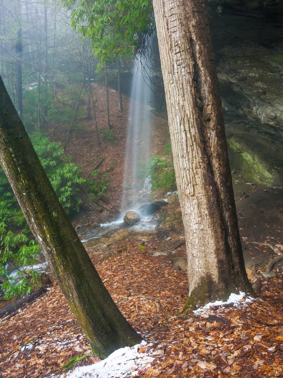
Walk up the gated old logging road (the gate is out of sight of FR 79). In about half a mile the road passes through a wildlife clearing and ends at a creek. Do not cross; turn right and follow the creek a short way upstream to the waterfall, which drops in front of a deep rock overhang you can walk behind.
Plan your visit
Pull-off on Blue Valley Road (FR 79) up a gated forest road to Picklesimer Rock House Falls
Waterfall Hero gives a 1.0-mile hike; the legacy NCWaterfalls account calls it a half-mile trail.
Easy old road, then a short creekside path. Rocks around the falls are very slippery. A 2020 reader report says a large dead tree had fallen across the falls.
Where to start
From Highlands go south on NC 28 about 6 miles and turn sharp right on Blue Valley Road (SR 1618), which becomes gravel FR 79. Go about 4.2 miles to a pull-off beside a gated road on the right, just over half a mile past the Blue Valley primitive campground.
Timing & water
Flow is low in dry periods. Current road and trail status not verified.
Before you go
Current fees and reservation requirements unknown.
Visitor informationVisit sources
More waterfalls nearby
Within 40 straight-line miles. Road and trail distances will differ.
- Chasm FallsShort but difficult; creek crossing for the base viewMacon County, NC0.8 miS
- Blue Valley FallsMacon County, NC1.1 miNW
- Glen FallsParking and overlook approach researchedMacon County, NC1.3 miNE
- Lower Serenity FallsMacon County, NC1.3 miW
- Serenity FallsMacon County, NC1.4 miW
- Catstairs FallsMacon County, NC1.5 miNW
- Brooks Creek FallsRoadside waterfall on a gravel forest roadMacon County, NC1.9 miNE
- Satulah FallsSafe stopping location unconfirmedMacon County, NC3.3 miE
 Dry FallsResearched visit notesMacon County, NC3.6 miN