Lower Slick Rock Falls
Transylvania County, North Carolina
Your visit at a glance
- Waterfall height
- Not recorded
- Location
- Transylvania County, North Carolina
- Access status
- National forest; short informal path
- The walk
- About 0.1 to 0.25 miles each way
- Ground & access
- Short informal path with one creek crossing. Rocks are very slippery.
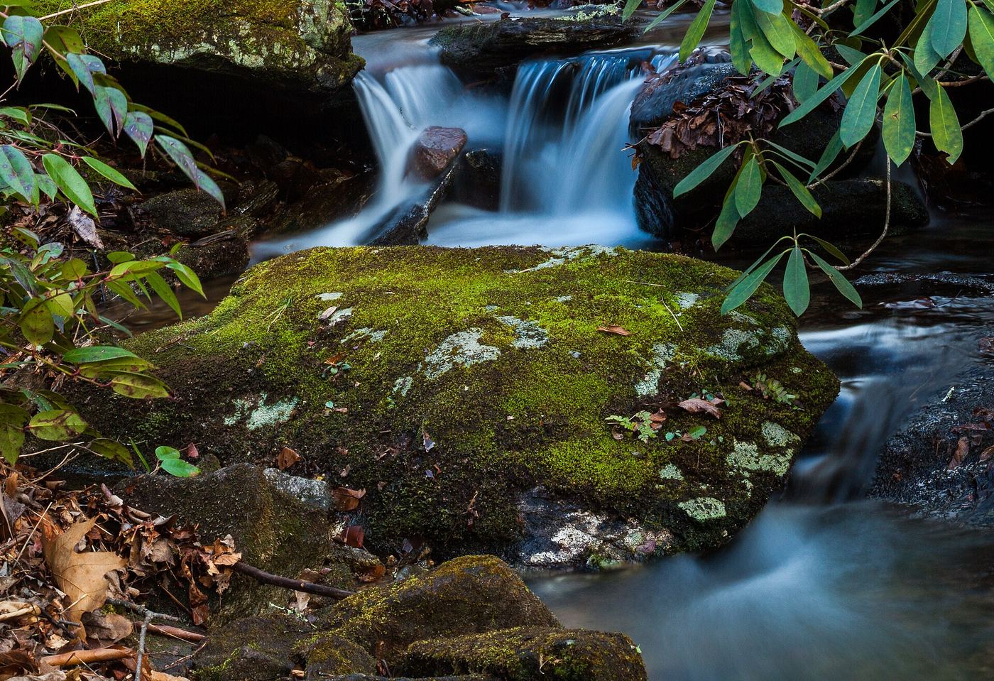
From Brevard drive east on US 64/US 276 to the split and stay left on US 276. After 5.3 miles turn left on Forest Road 475 toward the Pisgah Center for Wildlife Education. In 1.5 miles, just past the center, bear right on steep gravel FR 475B (Headwaters Road) and drive 1.1 miles to a small parking area on the right, the start of Slick Rock Falls Trail. Take a path down to the roadside campsites and follow Slick Rock Creek downstream. After the last campsite, cross to the right bank (facing downstream) and pass a large rock wall. The 20 foot falls is just past it. Dead trees cover much of it; the source found the best view from the middle.
Plan your visit
Slick Rock Falls parking on Forest Road 475B, path down past roadside campsites and along Slick Rock Creek
Waterfall Hero lists a hike length of 0.2 miles. Take a Hike gives about a half mile round trip.
Short informal path with one creek crossing. Rocks are very slippery.
Where to start
Small parking area on the right of Forest Road 475B, 1.1 miles from FR 475. Published trailhead coordinates: 35.29332, -82.79794.
Timing & water
Small creek; best after rain. No closure is mentioned.
Before you go
No fee is mentioned in the sources read. Pisgah National Forest.
Visitor informationVisit sources
More waterfalls nearby
Within 40 straight-line miles. Road and trail distances will differ.
 Slick Rock FallsPossible road-access closure: confirm FS 475B access and parking before visiting.Transylvania County, NC0.1 miE
- Transylvania FallsTransylvania County, NC0.1 miNW
- Middle Rockhouse Creek FallsPartial guide: 2014 description, no defined parking, steep informal pathTransylvania County, NC0.2 miN
- Lower Rockhouse Creek FallsRoadside view with a short path; very small pull-offTransylvania County, NC0.5 miS
- Upper Rockhouse Creek FallsTransylvania County, NC0.5 miNW
- Caney Bottom FallsTrailside view on a Forest Service trail; no safe path to the baseTransylvania County, NC0.9 miW
- Cove Creek FallsForest Service trails documented by two recent accountsTransylvania County, NC1.0 miW
 Cedar Rock FallsEstablished Forest Service trail with an unsigned side path; two firsthand sources agreeTransylvania County, NC1.0 miS
- Upper Cedar Rock FallsNational forest trail with a short scramble at the endTransylvania County, NC1.0 miS