Upper Cedar Rock Falls
Transylvania County, North Carolina
Your visit at a glance
- Waterfall height
- Not recorded
- Location
- Transylvania County, North Carolina
- Access status
- National forest trail with a short scramble at the end
- The walk
- About 0.8 miles each way
- Ground & access
- Trail with a rock-hop creek crossing that may be wet in high water. Steep scramble path at the end. Rocks are slippery. The first section is shared with mountain bikes.
Upper Cedar Rock Falls is a small, scenic waterfall on Cedar Rock Creek in Pisgah National Forest, just upstream of a primitive campsite. From the fish hatchery parking area, walk toward the closed Pisgah Center building, pass the gate on the gravel road and start the orange-blazed Cat Gap Loop Trail on the right just past the bridge. Cross Cedar Rock Creek on rocks, keep left on the hikers-only Cat Gap Trail at the junction with the new Butter Gap section, and climb about 0.4 miles. Pass the side trail to Cedar Rock Falls. About a tenth of a mile farther, take a steep scramble path on the left down to the campsite; the falls are on the right. Return the same way.
Plan your visit
Cat Gap Loop Trail from the Pisgah fish hatchery parking, past the Cedar Rock Falls spur, to a side path down to a campsite at Upper Cedar Rock Falls
Waterfall Hero gives a 1.6 mile hike length and places the side path 0.1 miles past the Cedar Rock Falls spur at 0.7 miles. NC Waterfalls gives just under a mile to Cedar Rock Falls with the upper falls about a tenth of a mile farther.
Trail with a rock-hop creek crossing that may be wet in high water. Steep scramble path at the end. Rocks are slippery. The first section is shared with mountain bikes.
Where to start
Fish hatchery parking area on FR 475, 1.4 miles from US 276, next to the Pisgah Center for Wildlife Education building, which NC Waterfalls reports closed since flooding in 2021. The lot is busy in warm weather.
Timing & water
Year-round trail. The Cedar Rock Creek footbridge was washed out in 2021, so the crossing can be difficult in high water.
Before you go
No fee or reservation is mentioned.
Visitor informationVisit sources
More waterfalls nearby
Within 40 straight-line miles. Road and trail distances will differ.
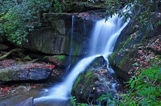 Cedar Rock FallsEstablished Forest Service trail with an unsigned side path; two firsthand sources agreeTransylvania County, NC0.0 miNE
- Lower Rockhouse Creek FallsRoadside view with a short path; very small pull-offTransylvania County, NC0.6 miN
- Grogan Creek FallsForest Service trails with a short scramble; two firsthand sources agreeTransylvania County, NC0.6 miSW
- Whaleback FallsNational forest; short path and a steep scramble to the riverTransylvania County, NC1.0 miW
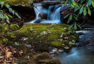 Lower Slick Rock FallsNational forest; short informal pathTransylvania County, NC1.0 miN
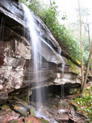 Slick Rock FallsPossible road-access closure: confirm FS 475B access and parking before visiting.Transylvania County, NC1.1 miN
- Transylvania FallsTransylvania County, NC1.2 miN
- Middle Rockhouse Creek FallsPartial guide: 2014 description, no defined parking, steep informal pathTransylvania County, NC1.3 miN
- Long Branch FallsGated forest road walk with a short steep side path; two firsthand sources agreeTransylvania County, NC1.4 miW