Grogan Creek Falls
Transylvania County, North Carolina
Your visit at a glance
- Waterfall height
- Not recorded
- Location
- Transylvania County, North Carolina
- Access status
- Forest Service trails with a short scramble; two firsthand sources agree
- The walk
- About 3.6 miles return
- Ground & access
- Easy to moderate trails, partly shared with mountain bikes in winter, then a tricky root-assisted scramble to the base. Stay away from the top of the falls.
From the fish hatchery lot, pass the gate on FR 475C and turn right onto the Cat Gap Loop Trail (#120). Rock-hop Cedar Rock Creek, climb past the Cedar Rock Falls side path at 0.7 miles, and at 0.8 miles turn right onto Butter Gap Trail (#123) at Picklesimer Fields. Pass the Long Branch Trail junction at 1.4 miles and stay on Butter Gap Trail. At 1.8 miles, where the top of the 15 to 20 foot falls is obvious beside the trail, take the scramble path that cuts hard left and down to the base. Return the same way.
Plan your visit
Cat Gap Loop and Butter Gap trails from the Pisgah fish hatchery to Grogan Creek Falls
Waterfall Hero gives 3.6 miles for the whole out-and-back hike, with the falls path at 1.8 miles. The legacy account gives 2 miles one way via its route.
Easy to moderate trails, partly shared with mountain bikes in winter, then a tricky root-assisted scramble to the base. Stay away from the top of the falls.
Where to start
Pisgah Center for Wildlife Education and fish hatchery lot, 1.4 miles up FS 475 from US 276.
Timing & water
Open year round. The Forest Service opens the Butter Gap Trail section below Long Branch Trail to mountain bikes from October 15 to April 15.
Before you go
National forest trailhead; no fee is stated by the sources.
Visitor informationVisit sources
More waterfalls nearby
Within 40 straight-line miles. Road and trail distances will differ.
- Upper Cedar Rock FallsNational forest trail with a short scramble at the endTransylvania County, NC0.6 miNE
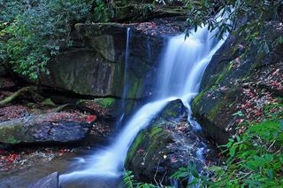 Cedar Rock FallsEstablished Forest Service trail with an unsigned side path; two firsthand sources agreeTransylvania County, NC0.7 miNE
- Whaleback FallsNational forest; short path and a steep scramble to the riverTransylvania County, NC0.8 miNW
- Long Branch FallsGated forest road walk with a short steep side path; two firsthand sources agreeTransylvania County, NC1.0 miNW
- Lower Rockhouse Creek FallsRoadside view with a short path; very small pull-offTransylvania County, NC1.1 miN
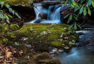 Lower Slick Rock FallsNational forest; short informal pathTransylvania County, NC1.5 miN
- Toms Spring FallsNational forest gated road; easy walkTransylvania County, NC1.6 miNW
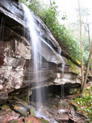 Slick Rock FallsPossible road-access closure: confirm FS 475B access and parking before visiting.Transylvania County, NC1.6 miNE
- Cove Creek FallsForest Service trails documented by two recent accountsTransylvania County, NC1.6 miN