Upper Linville Falls
Burke County, North Carolina
Your visit at a glance
- Waterfall height
- Not recorded
- Location
- Burke County, North Carolina
- Access status
- Blue Ridge Parkway trail to an overlook; some nearby trails closed
- The walk
- About 0.8 miles return
- Ground & access
- Moderate trail. Stay on the trail and behind railings; swimming and climbing on the rocks are not allowed.
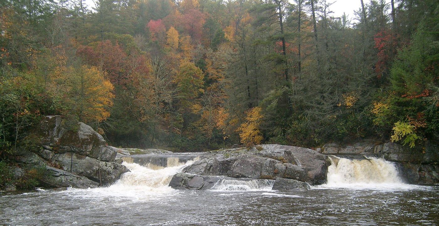
Upper Linville Falls is the smaller upper drop of Linville Falls, where the Linville River widens above the main falls. The Upper Falls Overlook looks at the upper falls and down to where the river enters the gorge. Since Hurricane Helene some trails here remain closed. The National Park Service trail status map says all open trails can be reached from the Forest Service gravel parking area on Old NC 105, and gives 0.8 miles out and back from that lot to Upper Falls. From the gravel lot the trail runs about 0.3 miles before it joins the route that comes from the Parkway visitor center, then continues to the overlook. Follow the open trails and signs.
Plan your visit
Pisgah National Forest gravel parking on Old NC 105 (Kistler Memorial Highway), trail to the Upper Falls Overlook at Linville Falls
The National Park Service trail status map gives 0.8 miles out and back from the gravel lot to Upper Falls.
Moderate trail. Stay on the trail and behind railings; swimming and climbing on the rocks are not allowed.
Where to start
Forest Service gravel parking area on Kistler Memorial Highway (Old NC 105). From US 221 at Blue Ridge Parkway milepost 317.5, drive 0.7 miles south on US 221, turn left on NC 183, go 0.6 miles, bear right onto the gravel road; the parking area is 0.1 miles ahead on the left. Published coordinates: 35.95055, -81.92798.
Timing & water
Some Linville Falls trails remain closed after Hurricane Helene. The Linville Falls campground and picnic area were listed as closed. Check the current trail status map before you go.
Before you go
No fee is mentioned in the sources read. Linville Falls is managed by the Blue Ridge Parkway.
Visitor informationVisit sources
More waterfalls nearby
Within 40 straight-line miles. Road and trail distances will differ.
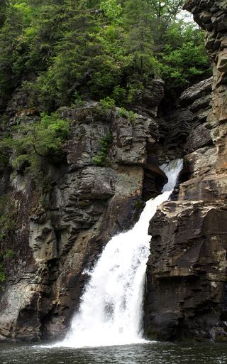 Linville FallsResearched visit notesBurke County, NC0.1 miSE
- Duggers Creek FallsShort Park Service trail from the Linville Falls lot; Helene trail closures in the area notedBurke County, NC0.4 miN
- Brushy Ridge FallsWilderness trails to a river-bend campsite view; difficultBurke County, NC1.2 miS
- Mill FallsMcDowell County, NC1.5 miSW
- English FallsMcDowell County, NC3.2 miSW
- Upper Creek FallsRoute and parking documented; secondary route details attributed98 ft (30 m) · Burke County, NC3.7 miE
- Laurel Leap FallsMcDowell County, NC3.8 miS
- Cathedral FallsWilderness trails to a view across the riverBurke County, NC3.8 miSE
 Bear Den FallsMcDowell County, NC3.9 miSW