Duggers Creek Falls
Burke County, North Carolina
Your visit at a glance
- Waterfall height
- Not recorded
- Location
- Burke County, North Carolina
- Access status
- Short Park Service trail from the Linville Falls lot; Helene trail closures in the area noted
- The walk
- About 0.2 miles return
- Ground & access
- Easy maintained trail to the bridge; the optional scramble to creek level is steep and the creek wade is for photographers only.
From the Duggers Creek end of the Linville Falls parking lot, opposite the visitor center, take the trail from the upper far corner of the lot and bear left toward the creek. In a very short distance a footbridge crosses Duggers Creek just below the 15 to 20 foot falls in its small layered-rock gorge. People scramble down on the left beyond the bridge to creek level for a view under the bridge. The trail loops on for less than a quarter mile back to Linville Falls Road near the lot.
Plan your visit
Duggers Creek Trail from the Linville Falls parking lot to the footbridge below Duggers Creek Falls
The legacy account gives an easy 0.1 mile to the bridge view; Waterfall Hero lists the hike as 0.1 miles. The return figure doubles the one-way distance.
Easy maintained trail to the bridge; the optional scramble to creek level is steep and the creek wade is for photographers only.
Where to start
Linville Falls parking lot at the end of Linville Falls Road (Blue Ridge Parkway milepost 316.4), 1.4 miles from the Parkway past the campground.
Timing & water
Parkway sections close in icy weather. The Park Service says some trails in the Linville Falls area remain closed after Hurricane Helene; this short trail is not named in that notice, so check at the visitor center.
Before you go
No fee is charged to travel the Blue Ridge Parkway. Camping fees apply only at the campground.
Visitor informationVisit sources
More waterfalls nearby
Within 40 straight-line miles. Road and trail distances will differ.
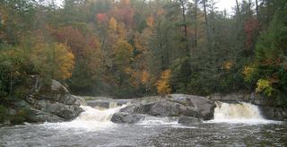 Upper Linville FallsBlue Ridge Parkway trail to an overlook; some nearby trails closedBurke County, NC0.4 miS
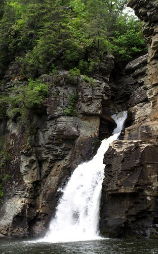 Linville FallsResearched visit notesBurke County, NC0.5 miS
- Brushy Ridge FallsWilderness trails to a river-bend campsite view; difficultBurke County, NC1.6 miS
- Mill FallsMcDowell County, NC1.9 miS
- English FallsMcDowell County, NC3.5 miSW
- Upper Creek FallsRoute and parking documented; secondary route details attributed98 ft (30 m) · Burke County, NC3.6 miE
- Upper Steels Creek FallsPartial: forest road closed to vehicles; walk-in parking not describedBurke County, NC4.0 miE
- Zig Zag FallsBurke County, NC4.0 miE
- Newt FallsPartial: forest road closed to cars; parking at the closure not confirmed; difficult descentBurke County, NC4.1 miE