High Falls
Clay County, North Carolina
Your visit at a glance
- Waterfall height
- Not recorded
- Location
- Clay County, North Carolina
- Access status
- Wilderness trail; creek crossings
- The walk
- About 2.5 miles each way
- Ground & access
- Difficult. Two crossings of Beech Creek that may need wading in high water, then switchbacks. Rocks are very slippery.
The usual approach is through Georgia. From Clayton, Georgia, go west on US 76 for 7.5 miles, turn right on Persimmon Road for 4.2 miles, then left on Tallulah River Road. It becomes Tate City Road and then Forest Road 56 in North Carolina. Less than a mile past the state line, park on the left by a primitive campsite. Take Beech Creek Trail (#378) across the road, over a ridge and down to Beech Creek, cross it and follow the old mining road upstream. Pass Bull Cove Falls at about 0.9 miles, cross Beech Creek again, and continue up the gorge past an old rock wall. After the switchbacks start, at the next switchback to the left about half a mile on, a path goes straight to High Falls, about a quarter mile to the base. The source saw a wooden sign at this path.
Plan your visit
Lower Beech Creek trailhead on Forest Road 56 (Tate City Road), Beech Creek Trail past Bull Cove Falls, then a signed side path to High Falls
Waterfall Hero gives a hike length of 5.0 miles for this out-and-back walk. Take a Hike lists the falls as part of an 8.5 mile Beech Creek loop.
Difficult. Two crossings of Beech Creek that may need wading in high water, then switchbacks. Rocks are very slippery.
Where to start
Pull-off on the left of Forest Road 56 next to a primitive campsite, less than a mile into North Carolina. Published trailhead coordinates: 34.99875, -83.55669.
Timing & water
Creek crossings can require wading in high water. Current trail conditions were not confirmed.
Before you go
No fee is mentioned in the sources read. Southern Nantahala Wilderness, Nantahala National Forest.
Visitor informationVisit sources
More waterfalls nearby
Within 40 straight-line miles. Road and trail distances will differ.
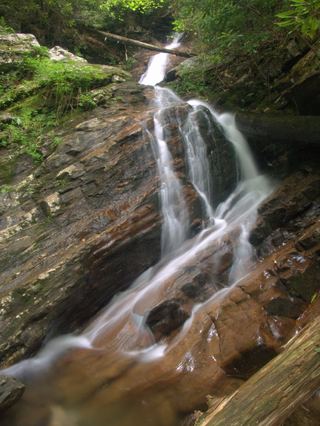 Bull Cove FallsWilderness trail with a creek crossing from a forest road trailheadClay County, NC1.2 miSW
- Big Laurel FallsTrailhead parking identified; seasonal road closure appliesMacon County, NC1.3 miE
- 501 FallsClay County, NC1.6 miSW
- New FallsClay County, NC1.9 miNW
- Thomas FallsClay County, NC1.9 miW
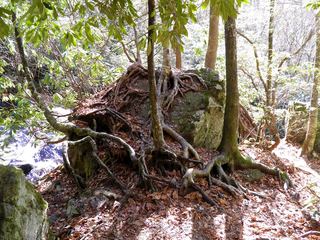 Mooney FallsResearched visit notesMacon County, NC2.0 miNE
- Rufus Morgan WaterfallNational forest loop trail; seasonal forest road60 ft (18.3 m) · Macon County, NC8.9 miN
- Factory Branch FallsMacon County, NC8.9 miNW
- Shot Pouch FallsShort walk on a gated forest roadMacon County, NC10 miN