Mooney Falls
Macon County, North Carolina
Your visit at a glance
- Waterfall height
- Not recorded
- Location
- Macon County, North Carolina
- The walk
- 0.2-mile hike; distance convention unspecified
- Ground & access
- Short, fairly steep descent. The gravel approach road has rough spots; check current road conditions.
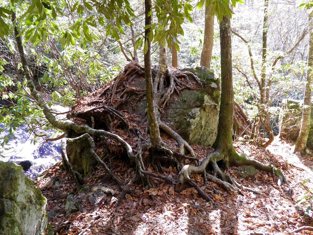
This is Mooney Falls near Standing Indian in Macon County, North Carolina. The local visitor guide describes a short but steep trail from signed parking on FR 67.
Plan your visit
Signed Mooney Falls trail on Forest Road 67
The local visitor guide gives 0.2 mile without specifying round trip or one way.
Short, fairly steep descent. The gravel approach road has rough spots; check current road conditions.
Where to start
Use signed Mooney Falls trailhead parking on FR 67, beyond the backcountry information kiosk. This is separate from the Standing Indian Campground entrance.
Timing & water
The older visitor guide does not establish current seasonal road access; confirm with Nantahala National Forest.
Before you go
Fees, permits and reservation requirements for this visit have not been confirmed; check with the land manager.
Visitor informationMore waterfalls nearby
Within 40 straight-line miles. Road and trail distances will differ.
- Big Laurel FallsTrailhead parking identified; seasonal road closure appliesMacon County, NC0.9 miSW
- High FallsWilderness trail; creek crossingsClay County, NC2.0 miSW
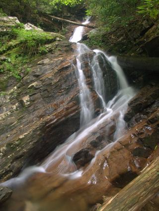 Bull Cove FallsWilderness trail with a creek crossing from a forest road trailheadClay County, NC3.1 miSW
- New FallsClay County, NC3.3 miW
- 501 FallsClay County, NC3.5 miSW
- Thomas FallsClay County, NC3.6 miW
- Rufus Morgan WaterfallNational forest loop trail; seasonal forest road60 ft (18.3 m) · Macon County, NC8.4 miN
- Dome FallsPartial: no trail; extremely difficult bushwhackMacon County, NC9.2 miE
- Factory Branch FallsMacon County, NC9.3 miNW