New Falls
Clay County, North Carolina
Your visit at a glance
- Waterfall height
- Not recorded
- Location
- Clay County, North Carolina
- Ground elevation
- About 3,513 ft above sea level
- Nearby mapped stream
- Wateroak Creek
- Land
- Nantahala National Forest
- Nearby mapped access
- No nearby parking or trailhead recorded
A nearby mapped parking area or trailhead may not connect to this waterfall. Confirm the route and public access before travelling.
New Falls is mapped in Clay County, North Carolina, 14.4 miles southwest of Franklin. This entry shows its location and nearby mapped places; a visitor route has not been confirmed.
About this location
Land & access
The land ownership record at this location lists Nantahala National Forest. The listed manager is U.S. Forest Service. The land record lists public access. Check the manager’s current visitor information for permitted routes and closures.
Water & terrain
Wateroak Creek is mapped within 60 metres (about 200 feet) of the waterfall. Proximity alone does not confirm which stream feeds the falls.
Ground elevation is the land’s height above sea level, not the waterfall’s drop.
Sources for these details
Nearby streams and paths: OpenStreetMap. Land names: USGS PAD-US ownership records, with planning boundaries used only where ownership has no usable name. Ground elevation: USGS 3D Elevation Program.
Map records do not verify a walking route or current access conditions.
Before you make the trip
No nearby trailhead or parking area is recorded. Check the land manager’s visitor information for a permitted route.
Trail length, parking rules and current conditions have not been confirmed for this entry.
More waterfalls nearby
Within 40 straight-line miles. Road and trail distances will differ.
- Thomas FallsClay County, NC0.5 miSW
- High FallsWilderness trail; creek crossingsClay County, NC1.9 miSE
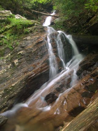 Bull Cove FallsWilderness trail with a creek crossing from a forest road trailheadClay County, NC2.0 miSE
- 501 FallsClay County, NC2.3 miS
- Big Laurel FallsTrailhead parking identified; seasonal road closure appliesMacon County, NC3.0 miE
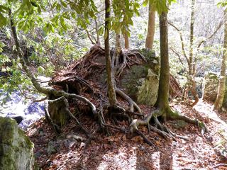 Mooney FallsResearched visit notesMacon County, NC3.3 miE
- Factory Branch FallsMacon County, NC7.3 miNW
- Rufus Morgan WaterfallNational forest loop trail; seasonal forest road60 ft (18.3 m) · Macon County, NC7.8 miN
- Shot Pouch FallsShort walk on a gated forest roadMacon County, NC9.1 miN