Barbara Falls
Transylvania County, North Carolina
Your visit at a glance
- Waterfall height
- Not recorded
- Location
- Transylvania County, North Carolina
- Access status
- Roadside bushwhack; private land on the far bank
- The walk
- A few hundred feet off-trail
- Ground & access
- Difficult. Steep bushwhack down a bank with cliffs near the falls.
Barbara Falls, also called Upper Shoals, is a steep cascading falls about 40 feet high on Catheys Creek in Pisgah National Forest. It is close to the road but has no trail. From the pullout, walk down the road around the curve before entering the woods, then bushwhack down the bank toward the sound of the water. The left bank (facing downstream) near the falls is cliffy; it may be easier to reach the creek below the falls and follow it back up. The right bank (facing downstream), which has the best view, is private property.
Plan your visit
Narrow pullout on Catheys Creek Road (FS 471), then walk down the road around the curve and bushwhack down the bank to Upper Shoals (Barbara Falls)
NC Waterfalls gives the hike distance as a few hundred feet. No measured distance.
Difficult. Steep bushwhack down a bank with cliffs near the falls.
Where to start
Narrow pullout on Catheys Creek Road (FS 471), about 5.15 miles from the US 64 turn at Kuykendall Group Camp, or 2.85 miles from Gloucester Gap. The road is unpaved after 0.7 mile.
Timing & water
No seasonal details confirmed.
Before you go
No fee mentioned.
Visitor informationVisit sources
More waterfalls nearby
Within 40 straight-line miles. Road and trail distances will differ.
- Grace FallsTransylvania County, NC0.2 miS
- Cedar Rock FallsTransylvania County, NC0.9 miSE
- Cathey's Creek FallsShort steep path from a forest road pullout; wading for the open viewTransylvania County, NC1.6 miSE
- Revels Prong FallsTransylvania County, NC1.9 miSE
- Kuykendall FallsLong forest-road walk and steep bushwhack; route from a 2014 trekTransylvania County, NC2.1 miE
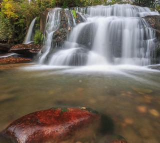 Shoal Creek FallsTransylvania County, NC2.3 miSW
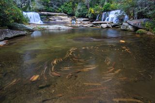 French Broad FallsPrivate land with permitted public access; short path documented by three accountsTransylvania County, NC2.3 miSW
- Pulpit FallsPartial guide: private ministry land; access allowed per a visitor guide, owner policy not confirmedTransylvania County, NC2.4 miSW
- Grogan Creek FallsForest Service trails with a short scramble; two firsthand sources agreeTransylvania County, NC2.4 miN