Pigeon Branch Falls
Transylvania County, North Carolina
Your visit at a glance
- Waterfall height
- Not recorded
- Location
- Transylvania County, North Carolina
- Access status
- Partial guide: off-trail route; the waterfall position is not published
- The walk
- About 0.5 miles each way by GPS track
- Ground & access
- Difficult bushwhack with briers, rhododendron and laurel, getting steeper near the falls. The soil near the top of the falls is thin; stay back from the bare rock.
From the junction of US 64, US 276 and NC 280 near Brevard, drive north on US 276 for 11.6 miles (or 3.2 miles south from the Blue Ridge Parkway) to gravel Yellow Gap Road (FR 1206) on the right. Park just off US 276 at the start of FR 1206 without blocking the road. Walk north up the left side of US 276 to the guardrail where Pigeon Branch passes under the highway, then go up the creek. There is no trail. Rich Stevenson stayed on the left side of the creek the whole way; another hiker crossed and found the right side easier near the falls. Keep the creek within hearing. Thick rhododendron hides the 15 to 20 foot falls until you are close; Stevenson’s GPS put it at about 3,600 feet elevation.
Plan your visit
US 276 at Yellow Gap Road (FR 1206), off-trail walk up Pigeon Branch to the falls
Rich Stevenson's GPS recorded about half a mile from the parking area, not in a straight line. The figure of about a quarter mile from US 276 in the same account is straight-line distance, not a walk.
Difficult bushwhack with briers, rhododendron and laurel, getting steeper near the falls. The soil near the top of the falls is thin; stay back from the bare rock.
Where to start
Start of Yellow Gap Road (FR 1206) at US 276, with room for about 4 vehicles. Do not block the road entrance.
Timing & water
The Forest Service Helene page lists Yellow Gap Road as open from US 276 to Wolf Ford Horse Camp. The route description dates from 2017; current conditions on the creek were not confirmed.
Before you go
No fee is mentioned in the sources read. Pisgah National Forest, Pisgah Ranger District.
Visitor informationVisit sources
More waterfalls nearby
Within 40 straight-line miles. Road and trail distances will differ.
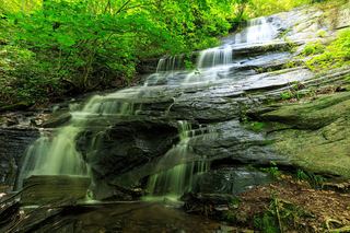 Barnett Branch Trail FallsShort national forest trail walk to fallsTransylvania County, NC0.9 miNE
- Poundingmill Branch FallsForest road and unofficial path in Pisgah National ForestTransylvania County, NC0.9 miS
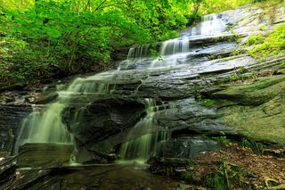 Little Barnett Branch Trail FallsPartial: maintained trail; the sources do not name this upper fallsTransylvania County, NC1.0 miNE
- Cradle FallsTransylvania County, NC1.0 miN
- No-Name Cove FallsSide path and faint path; scramble to the upper baseTransylvania County, NC1.3 miSW
- Bullpen Cove FallsHaywood County, NC1.7 miW
- Bennett Cove FallsPublished route on national forest land; informal side pathsTransylvania County, NC2.1 miSW
- Twin FallsPartial: forest trail documented; road gate status near the trailhead not confirmedTransylvania County, NC2.2 miSE
- Powerline FallsTransylvania County, NC2.2 miSE