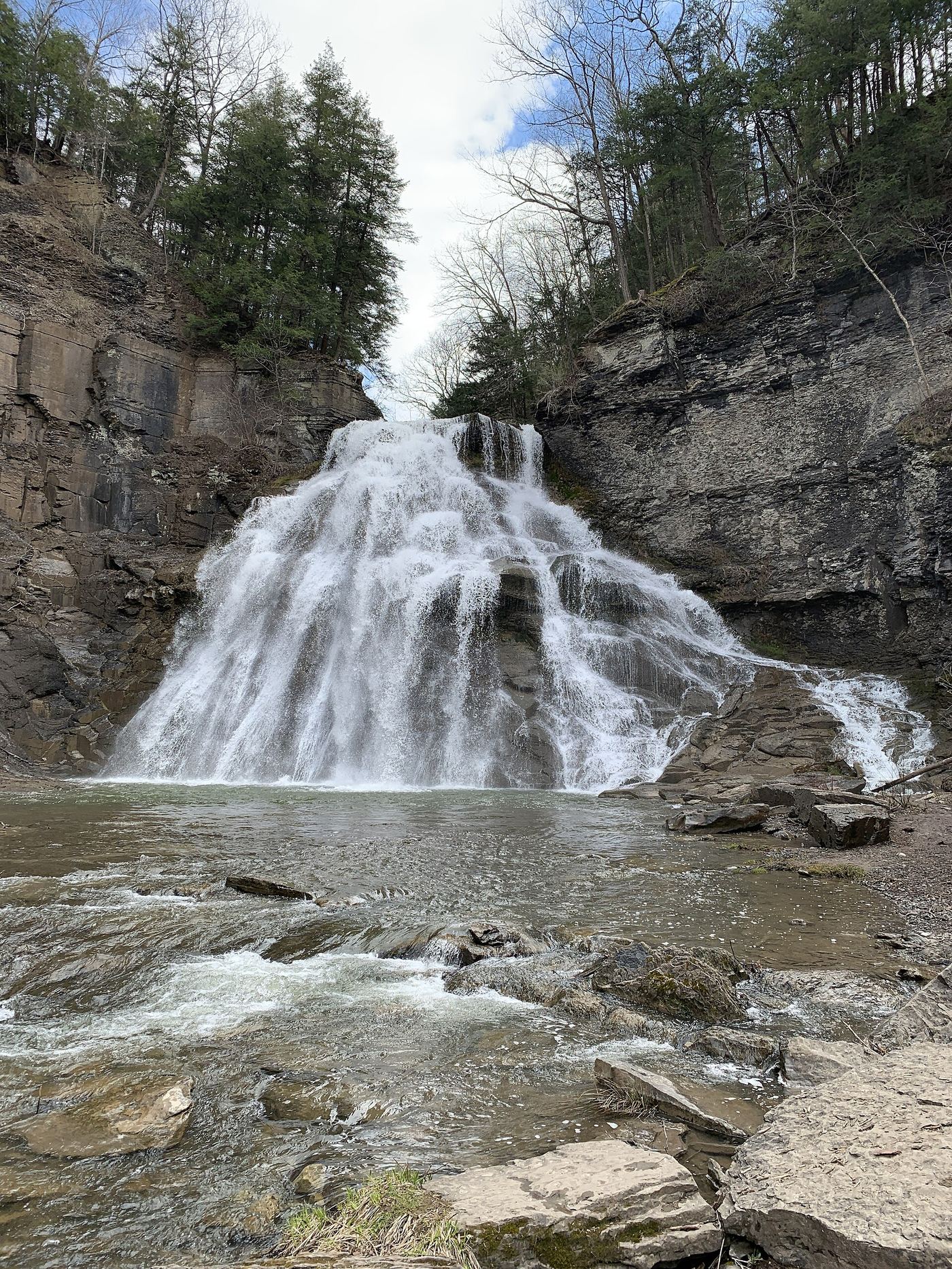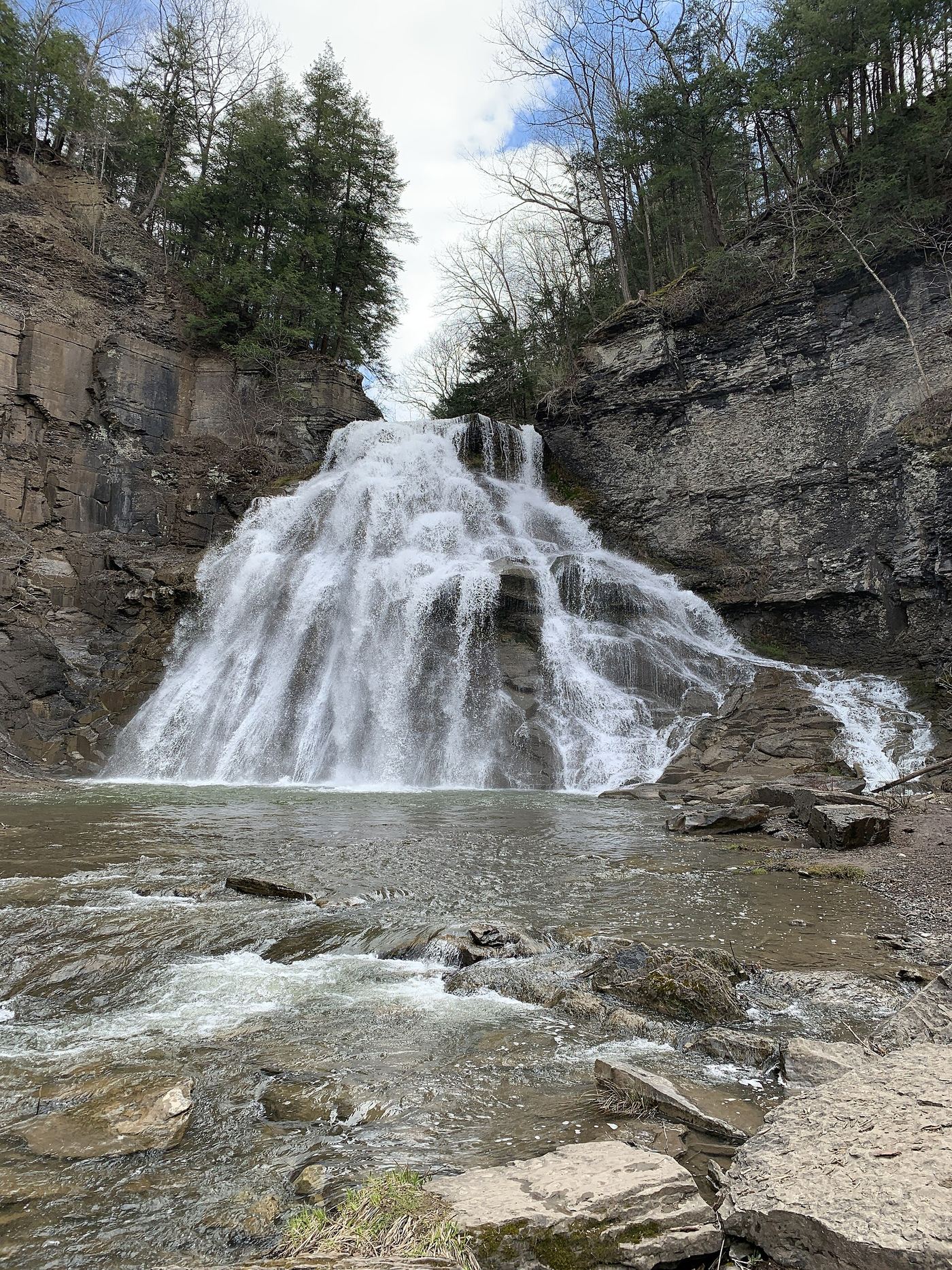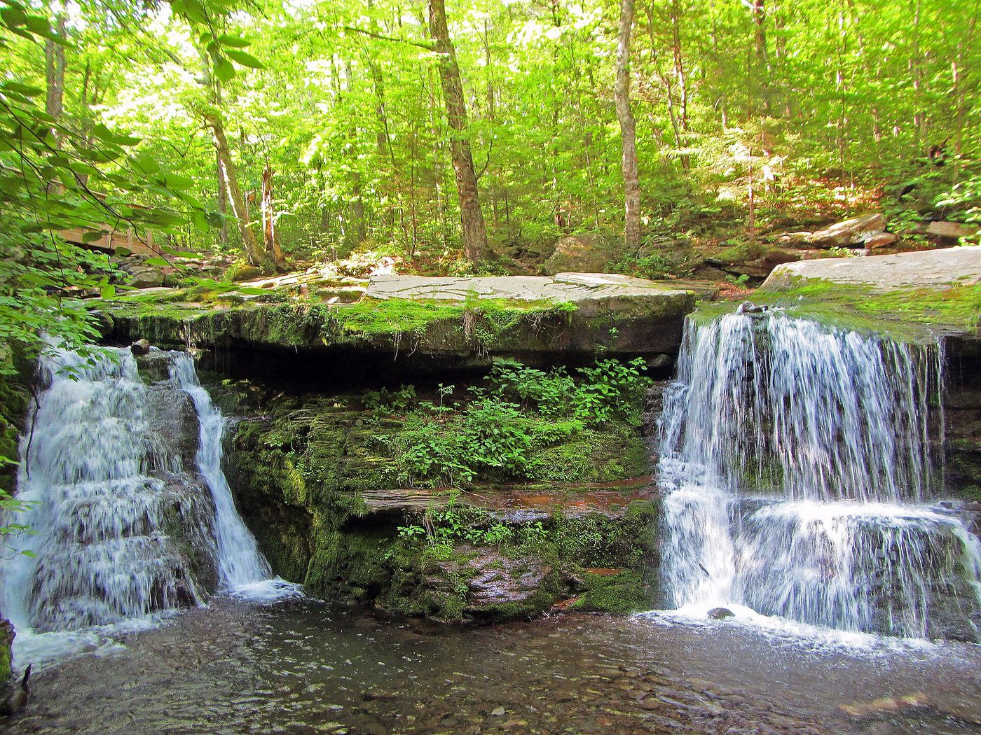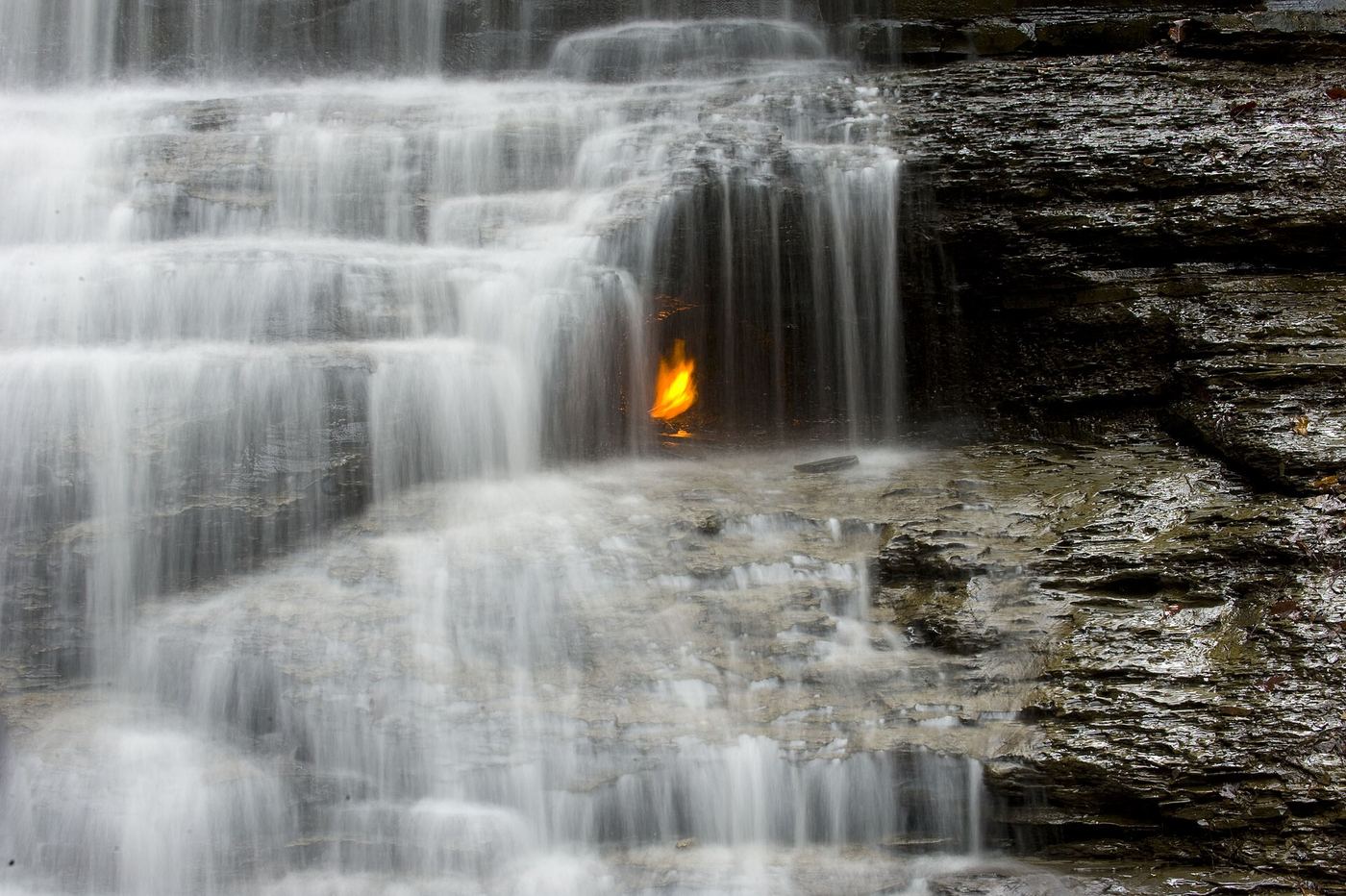
WaterfallNear Me

New York waterfall visits

Compare 189 New York waterfall visits by the approach, terrain, and where to start. Some routes have closures or unresolved details; read the individual guide before travelling.

189 visit options

Akron Falls, NY

County park trail to a falls viewing area

New York

Akron Falls

Short; NYFalls allows about 30 minutes to walk to the viewing platform and back

Akron Falls is a 44-foot waterfall on Murder Creek in Akron Falls County Park, an Erie County park in the Village of Akron. Park near shelter #4, where the trail to the gorge starts. The falls are easily seen from a viewing area half-way down the trail to the creek. The upper falls upstream is generally inaccessible. Stay out of the cave below the falls and out of the water.
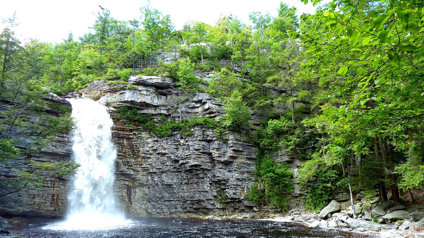
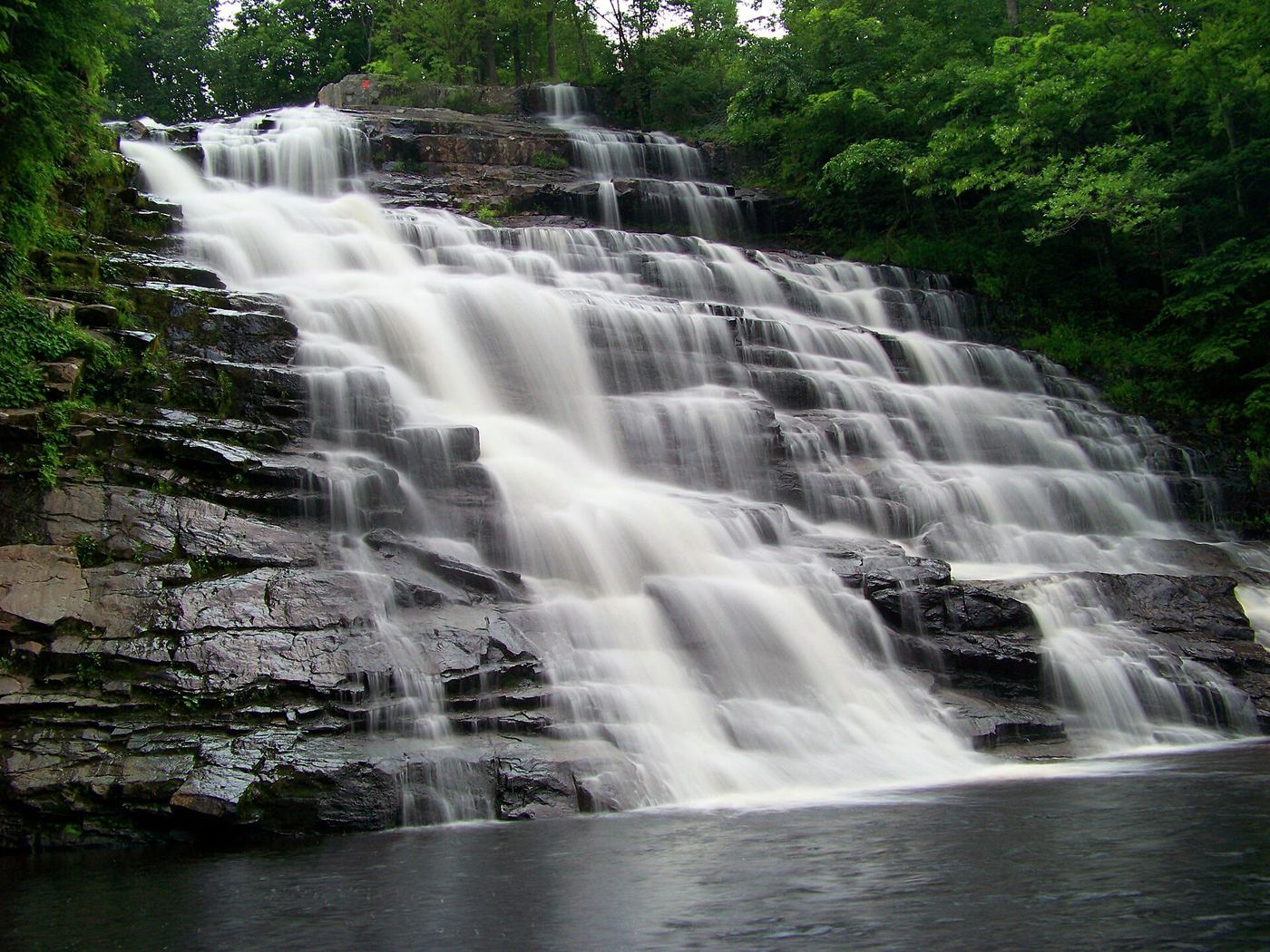
Photo creditPhoto: Andre Carrotflower, CC BY-SA 4.0, via Wikimedia Commons
Awosting Falls, NY

State park preserve carriage road; short walk from the Awosting lot; vehicle fee

New York

Awosting Falls

Short walk on a gravel path and carriage road; no separate distance to the falls is given

Awosting Falls is a 65-foot waterfall on the Peters Kill in Minnewaska State Park Preserve. From the Awosting parking area, head east on a wide gravel path following the sign to Trail to Awosting Falls. At the access road to Lake Minnewaska the path curves right and crosses a concrete bridge over the Peters Kill. On the other side, turn left onto the Awosting Falls Carriage Road, marked with occasional red diamond blazes. The carriage road descends on a broad curve to the base of the falls. Return the same way. Swimming is not permitted in any streams or waterfalls in the park.

Photo creditPhoto: Joe Lin from New York, NY, USA, CC BY 2.0, via Wikimedia Commons
Barberville Falls, NY

Short steep preserve trail from a dedicated lot

New York

Barberville Falls

About a quarter mile return

Barberville Falls is a 92-foot waterfall on the Poesten Kill in the Barberville Falls Preserve, Poestenkill. The Nature Conservancy owned the preserve until 2019, when it passed to the Rensselaer Plateau Alliance (now merged into Hudson Taconic Lands). From the main lot, the yellow-marked Falls Trail soon begins a steep traversing descent to the bottom of the falls, past stonework from an unfinished mill. Return the same way. The old Falls Trail from the bridge on Blue Factory Road is closed.

Photo creditPhoto: Waterfall Guy at Flickr, CC BY 2.0, via Wikimedia Commons
Binnen Falls, NY

City park path; viewpoint at the base of the falls

New York

Binnen Falls

Lullwater Trail is 0.9 miles; distance from a park entrance not given

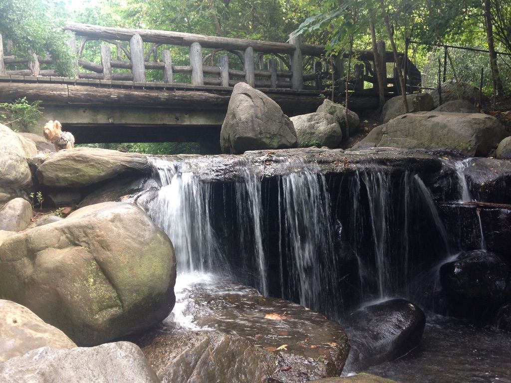
Binnen Falls is the last drop of Prospect Park's watercourse, where the stream from the Ravine falls into the Lullwater near the Boathouse. NYC Parks says the northern part of the 0.9-mile Lullwater Trail crosses the Lullwater Bridge, with a view of the Boathouse and nearby Binnen Falls. The Prospect Park Alliance restored the Lullwater viewing platform, which sits at the base of Binnen Falls, in 2025. A second rustic structure overlooks the falls from above, in the Lily Pond area. Binnen Bridge, at the falls, was being restored by the city with detours in 2023.

Photo creditPhoto: Noel Hefele, CC BY-SA 4.0, via Wikimedia Commons
Bridal falls, NY

Short state park trail and parking documented

New York

Bridal falls

About 0.1 miles one way

Enter Allegany State Park at Red House (I-86 exit 19), turn right on Park Route 1 and follow it past Red House Lake. Where the road ends, turn right to stay on Route 1; the large dirt parking area is 1.2 miles further on the right. The trail starts beside a kiosk and is marked with blue medallions. It drops to the bank of Stoddard Creek, where Bridal Falls drops about 40 feet into the creek from a small feeder stream. Return the same way.

Photo creditPhoto: Andre Carrotflower, CC BY-SA 4.0, via Wikimedia Commons
Buttermilk Falls, NY

State park falls visible from the lower parking area; entry fee in season

New York

Buttermilk Falls

Short walk from the lower parking area

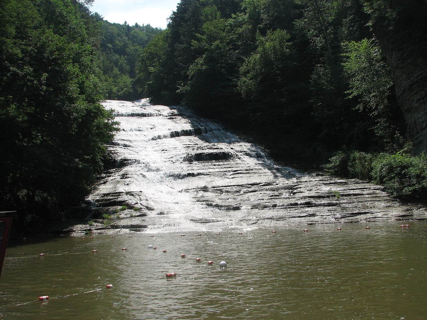
Buttermilk Falls is the 165-foot cascade at the lower end of Buttermilk Falls State Park, just south of Ithaca. Enter the park at the main entrance off NY 13 (Buttermilk Falls Road). The falls are visible from the lower parking area and rise above the swimming pool at their base. The Gorge Trail starts across the bridge near the main parking area and climbs past about nine more waterfalls; it is a separate, longer walk.

Photo creditPhoto: Fredlyfish4, CC BY-SA 4.0, via Wikimedia Commons
Buttermilk Falls, NY

Short trail and signed parking documented

New York

Buttermilk Falls

About 0.1 miles one way (350 feet)

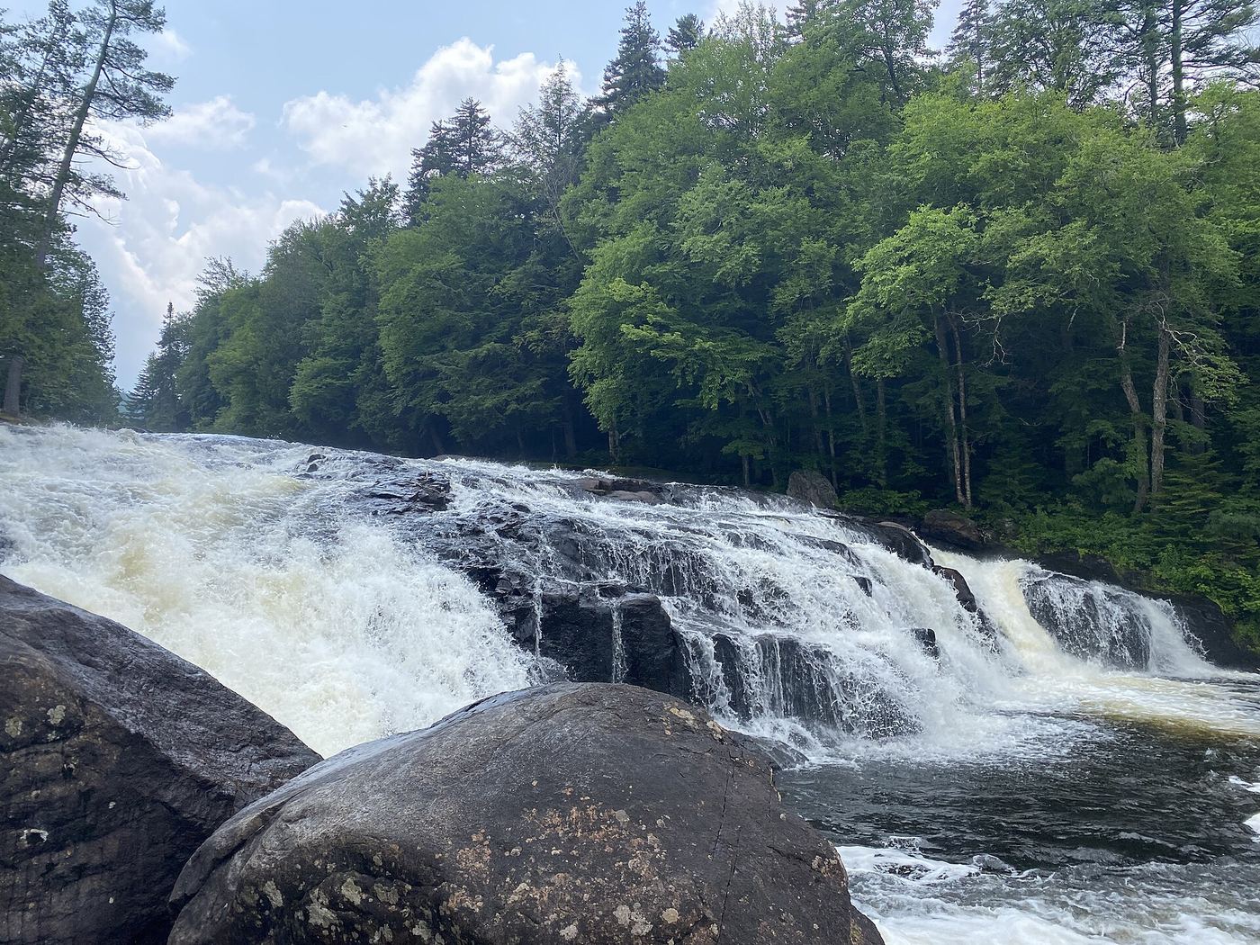
Travel south from Long Lake village on NY 30/28N. Where the road bends left and climbs, take North Point Road (County Road 3) to the right for about 2.1 miles to a small parking area on the right with a Buttermilk Falls sign. A well-kept, easy trail of about 350 feet leads to the 25-foot falls on the Raquette River. Return the same way.

Photo creditPhoto: TheTurducken, CC BY 2.0, via Wikimedia Commons
Chippewa Falls, NY

Partial guide: parking and the exact falls location are unknown; land below the falls is private

New York

Chippewa Falls

About 1.4 miles one way from Three Trails Junction

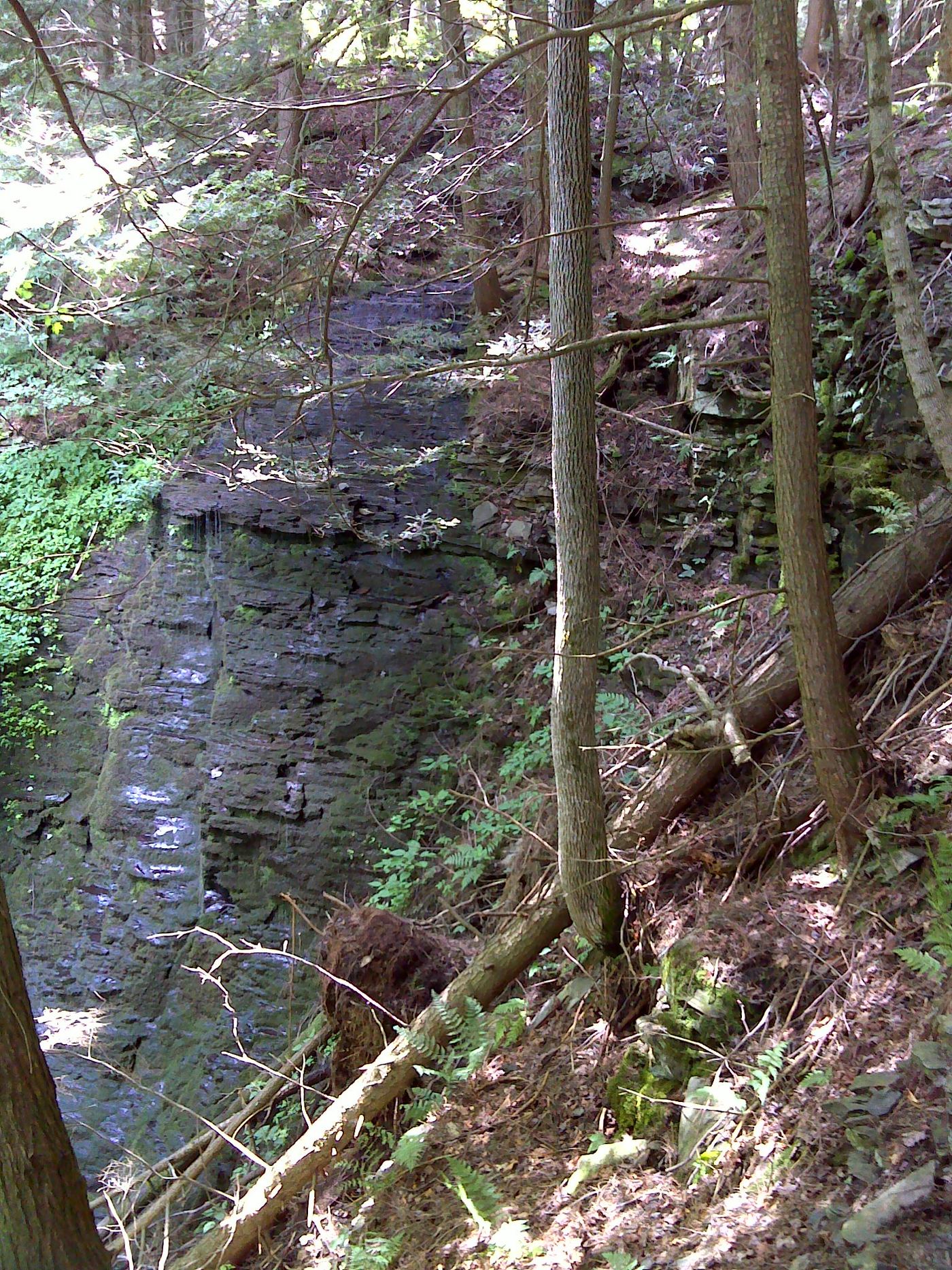
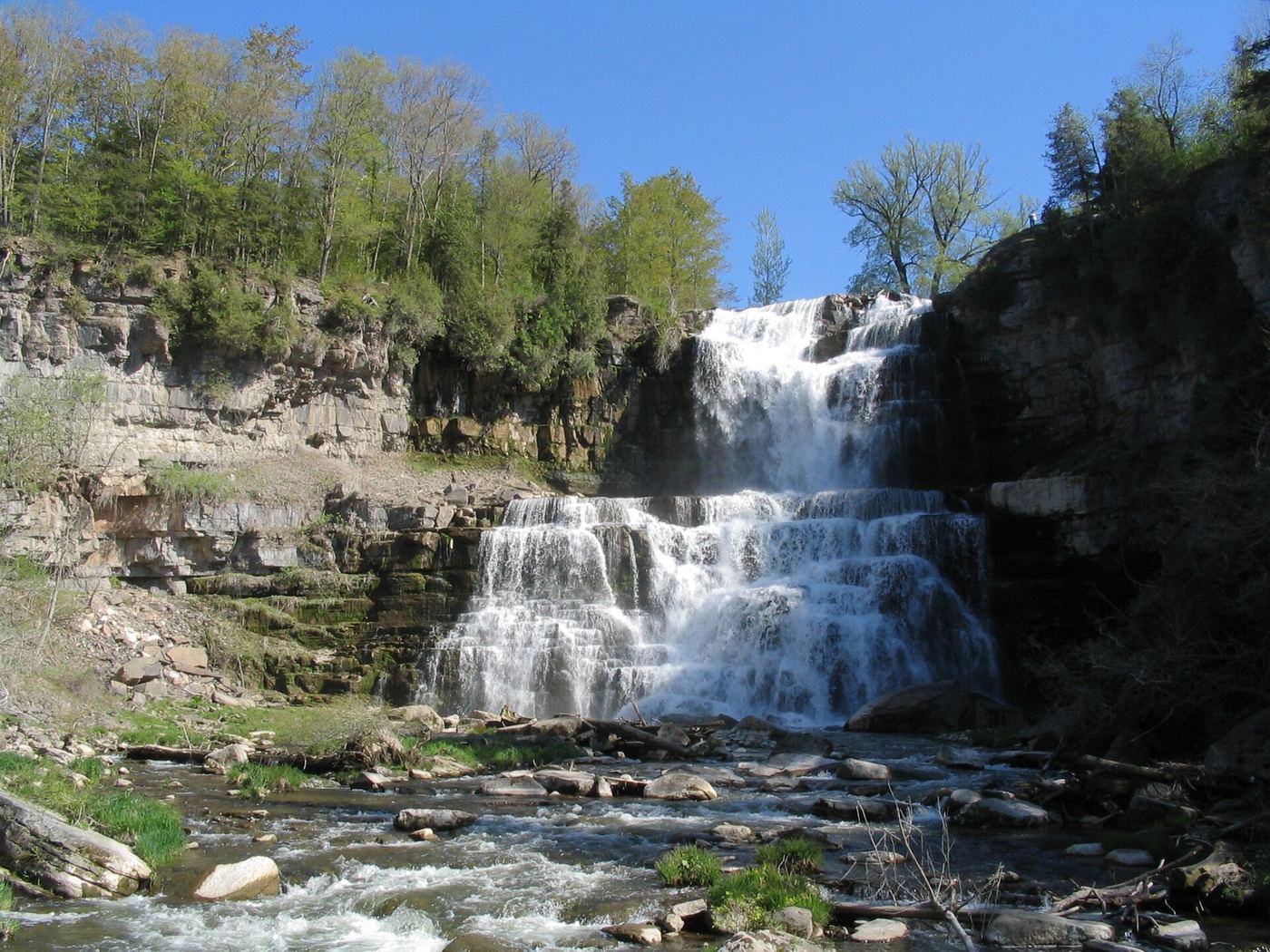
Chippewa Falls is a waterfall of about 40 feet in Cortland County, reached by the orange-blazed Chippewa Falls Trail, a branch of the Finger Lakes Trail System in Cuyler Hill State Forest. The trail starts at Three Trails Junction, a trail register a few hundred feet north of where the Finger Lakes Trail and North Country Trail cross Stoney Brook Road. Follow the orange blazes 1.4 miles to the falls. Most views are from near the top of the falls; the land below is private and very steep. The trail once continued as the main Finger Lakes Trail, but a landowner withdrew permission and it now ends at the falls. Parking at Stoney Brook Road and the exact location of the falls are unknown.

Photo creditPhoto: javajoe6, CC BY-SA 3.0, via Wikimedia Commons
Clarendon Falls, NY

Village park; falls visible from the parking area

New York

Clarendon Falls

About 50 yards across a lawn

Clarendon Falls is on a tributary of Sandy Creek in a small community park just south of Clarendon's main intersection (NY 237 and 31A), at the site of Farwell's Mills. The falls can be seen from the parking area, or walk about 50 yards across the lawn to the base. A small bridge crosses the creek into a wooded area along the cliff with an old mill foundation, but the falls cannot be seen from there. Flow is very low except after heavy rain or during the spring thaw.

Photo creditPhoto: Steven Hamsness, CC BY-SA 4.0, via Wikimedia Commons
Cohoes Falls, NY

Viewing parks beside the falls; seasonal opening

New York

Cohoes Falls

Short paved walk to the viewing areas

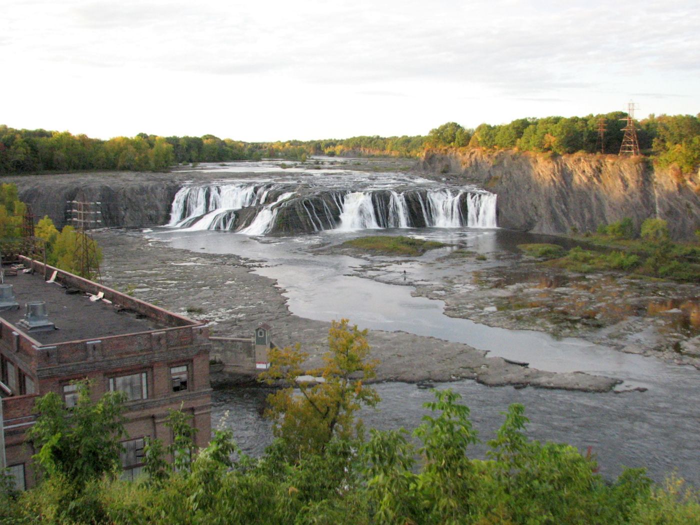
Cohoes Falls is a 65-foot, roughly 600-foot-wide waterfall on the Mohawk River in Cohoes. Two parks built and maintained by Brookfield Renewable give views from the west side of the river. Falls View Park on North Mohawk Street crosses a footbridge over a diversion channel to a landscaped viewing area. Overlook Park, off Cataract Street, has a small viewing platform. Chain-link fences block parts of the view; binoculars help. NYFalls reported Falls View Park closed for repairs in fall 2020 without an announced reopening, so check before relying on it.

Photo creditPhoto: bobistraveling, CC BY 2.0, via Wikimedia Commons
Delphi Falls Lower, NY

County park; short accessible trail

New York

Delphi Falls Lower

About 700 feet one way

Lower Delphi Falls is a 65-foot cascade on the East Branch of Limestone Creek in Delphi Falls County Park, run by Madison County. From the parking lot, follow the paved driveway and the gravel lower falls trail past the old homestead, now Cascades Hall, to a viewpoint in front of the lower falls. The trail is built to ADA guidelines. A separate Rim Trail of about a third of a mile leads to viewpoints of the upper and lower falls. Climbing the falls and swimming are not allowed.

Photo creditPhoto: Eddie891, CC BY-SA 4.0, via Wikimedia Commons
Delphi Falls Upper, NY

County park trail and parking documented

New York

Delphi Falls Upper

Rim Trail about 1/3 mile

Delphi Falls County Park has two waterfalls on Limestone Creek. From the parking lot at the park entrance, take the Rim Trail, a challenging 1/3-mile trail with three viewpoints over the upper and lower falls. A separate lower falls trail passes Cascades Hall to a view of the lower falls. The park is open from sunrise to sunset with a carry-in, carry-out policy.

Photo creditPhoto: Eddie891, CC BY-SA 4.0, via Wikimedia Commons
Diamond Notch Falls, NY

State wilderness trail; about a mile one way

New York

Diamond Notch Falls

About 1 mile one way

Diamond Notch Falls is a pair of side-by-side drops, each about 15 feet high, on the West Kill in the Hunter-West Kill Wilderness. From the parking lot, walk east past the end of Spruceton Road and a cabin, then follow the blue markers as the old road becomes a woodland trail. At about 0.8 to 1 mile you reach a wooden footbridge and the junction with the red-marked Devil's Path. The falls are just downstream of the bridge. A path leads down to the base. Return the same way.

Photo creditPhoto: TheTurducken, with minimal editing by Daniel Case prior to upload, CC BY 2.0, via Wikimedia Commons
Eternal Flame Falls, NY.

New York

Eternal Flame Falls

About 1.12 miles for the ranger-described hike

Start at the Eternal Flame parking area off Route 277 in Chestnut Ridge Park. The wooded trail reaches the flame and waterfall through terrain that includes the creek itself.

Photo creditPhoto: Mpmajewski, CC BY-SA 3.0, via Wikimedia Commons
Glen Falls, NY

Park parking and short paved viewing approaches documented.

New York

Glen Falls

Short viewpoint walk; exact distance unknown

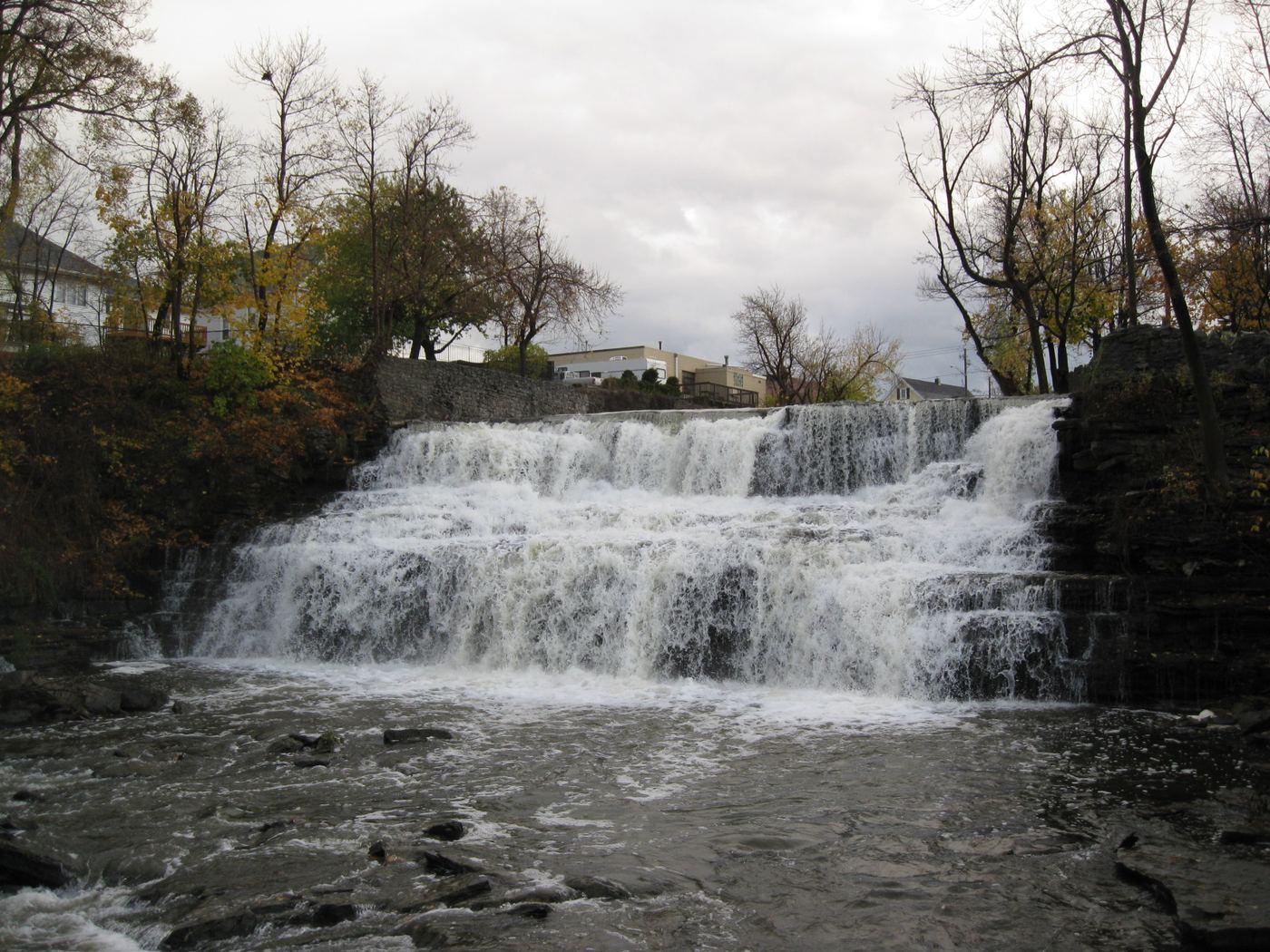
Glen Falls is on Ellicott Creek in Williamsville's Glen Park.

Photo creditPhoto: Doug Kerr from Albany, NY, United States, CC BY-SA 2.0, via Wikimedia Commons
Hanging Rock Falls, NY

Partial guide: informal path; land ownership and parking permission not stated

New York

Hanging Rock Falls

Short; distance not stated

Hanging Rock Falls is a series of cascades on the Beer Kill in Ellenville. A visitor account describes parking at the pull-off on Cape Road, walking to the guardrail, and following a worn trail down the hill. At a junction at the bottom, go straight to reach the Beer Kill and the cascades, which run both upstream and downstream. The route description dates from 2016. Land ownership along the path and permission to park are not stated.

Photo creditPhoto: S. Rae from Scotland, UK, CC BY 2.0, via Wikimedia Commons
High Falls, NY

City pedestrian bridge and overlooks; paved, short walk

New York

High Falls

No more than 2,500 feet to the farthest viewing platform

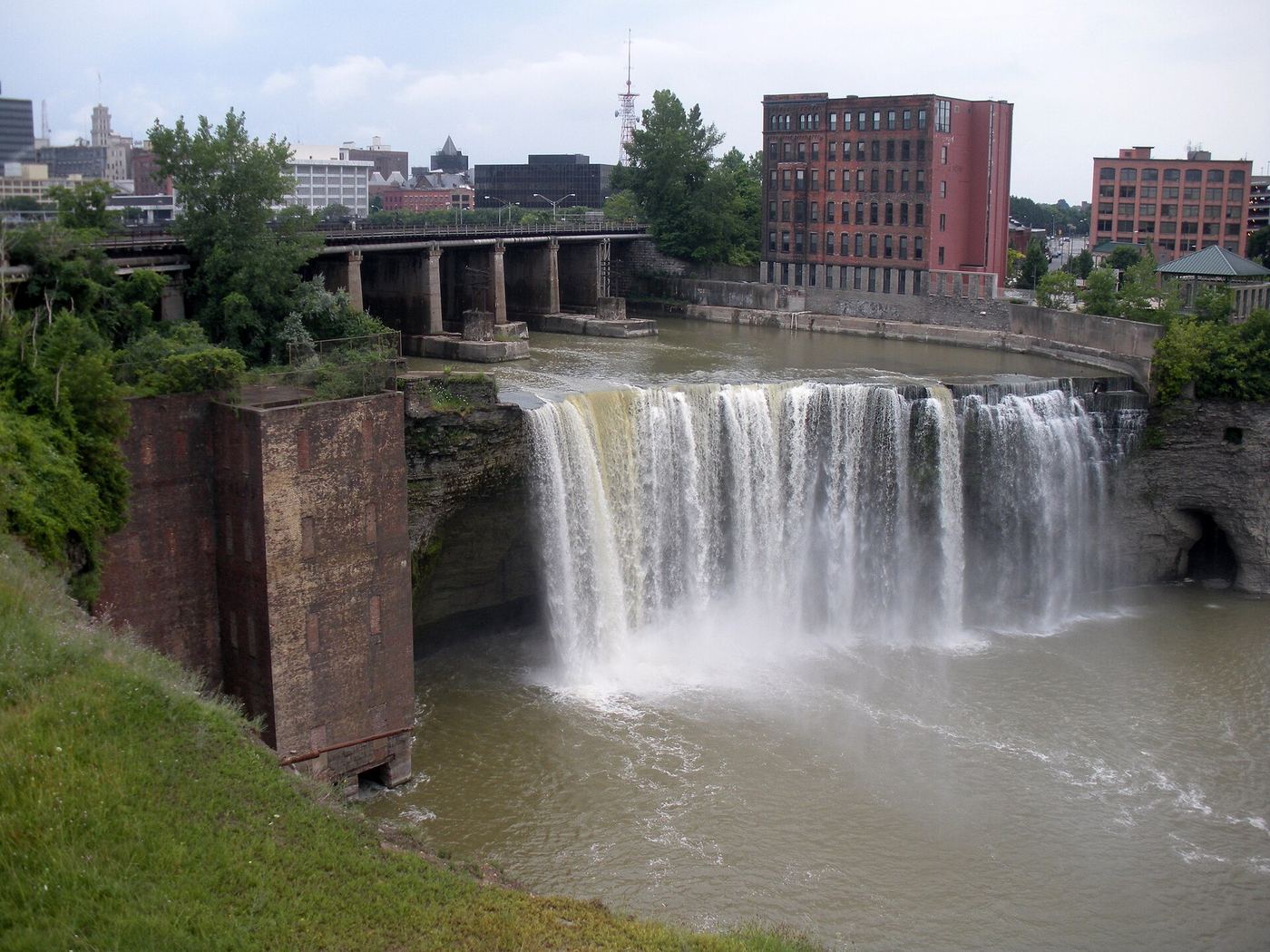
High Falls is a 96-foot waterfall on the Genesee River in Rochester's High Falls District. The City of Rochester calls the Pont de Rennes pedestrian bridge one of the best places to see it. Walk across the bridge from Platt Street (Morrie Silver Way); from the far end, go right to a viewing platform on the east side of the falls, or come back and walk down Browns Race past the Triphammer Forge to the Terrace Park viewing platform on the west side, at the end of Commercial Street. The city reopened the bridge in June 2026 after closures to replace its deck coating.

Photo creditPhoto: DCwom (talk), Public domain, via Wikimedia Commons
High Falls, NY

Signed state forest trail; rough dirt access road

New York

High Falls

0.75 miles each way by the trail sign

High Falls is a step cascade of about 30 feet on the Salmon River in Titusville Mountain State Forest, town of Bellmont. From Malone take Duane Street (CR 25) to Chasm Falls, turn left on CR 27 (Pond Road), follow it through Owls Head, then turn right on Barnesville Road at the Big Salmon River Public Fishing Stream sign. In about 3/4 mile a "Titusville Mt. State Forest ... High Falls" sign marks the trailhead. The trail is fairly well maintained and reaches the falls in about 0.75 miles.

Photo creditPhoto: Robbie Sproule from Montreal, Canada, CC BY 2.0, via Wikimedia Commons
High Falls Waterfall, NY

Conservation area trail and parking documented

New York

High Falls Waterfall

About 0.6 miles one way to the overlook

From the gravel lot on Roxbury Road, follow the green-blazed trail past a bench and over a bridge, then right. Stay on the green trail where the blue and red trails branch off. After about half a mile, including one small hill, it meets the red trail again; keep straight about a tenth of a mile to the end of the red trail at the only official viewpoint for the 150-foot falls on Agawamuck Creek. Return the same way or on the red trail.

Photo creditPhoto: ndecker, CC BY 3.0, via Wikimedia Commons
Honeoye Falls, NY

Village viewpoint and public parking documented

New York

Honeoye Falls

Short walk from the town hall parking area

The main view of the upper Honeoye Falls is from West Main Street behind the Mendon Town Hall, a former stone grist mill. Park in the public area beside the town hall or on the street. The falls can also be seen from the East Street bridge downstream. The lower falls are in Harry Allen Park on North Main Street.

Photo creditPhoto: DanielPenfield, CC BY-SA 4.0, via Wikimedia Commons
Indian Falls, NY

Partial: view only from a private restaurant lot; meant for customers

New York

Indian Falls

No walk; the falls are seen from the restaurant parking lot

Indian Falls on Tonawanda Creek is surrounded by private land. NYFalls says you can see the top and side of the falls from the parking lot of the Indian Falls Log Cabin Restaurant, and suggests planning the visit around a meal there, because the lot belongs to the restaurant. Do not leave the restaurant property toward the falls.

Photo creditPhoto: Andre Carrotflower, CC BY-SA 4.0, via Wikimedia Commons
Ithaca Falls, NY

City natural area path and parking documented

New York

Ithaca Falls

About 150 yards one way to the base

Ithaca Falls on Fall Creek can be seen from the Lake Street bridge. For the full view, walk about 150 yards along the creek on the path in the Ithaca Falls Natural Area to near the base, passing remains of the Ithaca Gun factory. Swimming is prohibited and can be deadly. Uncovering New York notes lead contamination remains at the site from the former gun factory, so use caution.

Photo creditPhoto: Stilfehler, CC BY-SA 3.0, via Wikimedia Commons
Lower Plotter Kill Falls, NY

Partial guide: view from near the top edge only; base route not described

New York

Lower Plotter Kill Falls

About 0.5 miles to the yellow access trail, then a steep descent and a stream crossing

Lower Plotter Kill Falls is a 40-foot waterfall in the Plotter Kill Preserve, Rotterdam. From the Mariaville Road lot, go straight at the first split onto the Red Trail. About 0.4 miles in you pass the top of Upper Falls; a tenth of a mile further, a yellow-blazed trail drops steeply about 80 feet to the creek. Cross the creek, which is only possible when water is low. A few steps downstream from the bottom of that hill is a view near the edge of Lower Falls. No described route reaches the base of Lower Falls.

Photo creditPhoto: bobistraveling, CC BY 2.0, via Wikimedia Commons
Lucifer Falls, NY

State park trail and parking documented; gorge trail closes in winter

New York

Lucifer Falls

Short walk from the Old Mill; the full Gorge Trail is 1.5 miles

Park at the upper entrance by the Old Mill on Enfield Falls Road. Cross the small stone bridge at the far end of the lot and follow the Gorge Trail through the narrow rocky section of Enfield Glen to the top of the 115-foot Lucifer Falls. A stone staircase beside the falls descends to its base. For a short loop, cross the wooden bridge below the falls and return to the upper entrance on the Rim Trail, which passes the Lucifer Falls Overlook.

Photo creditPhoto: Cornellrockey, CC BY-SA 4.0, via Wikimedia Commons
Medina Falls, NY

Village falls seen from the Erie Canal towpath

New York

Medina Falls

Less than 50 feet from the parking area

Medina Falls is a 40-foot plunge on Oak Orchard Creek in the Village of Medina. The creek passes under the Erie Canal aqueduct just before the falls. From the gravel lot above the falls off Laurel Street, walk to the canal and follow the paved towpath south toward the sound of the falls. NYFalls describes an informal descent to the base using a makeshift ladder and unmarked paths; that is not a maintained route.

Photo creditPhoto: Andre Carrotflower, CC BY-SA 4.0, via Wikimedia Commons
Mine Kill Falls, NY

State park overlook trail from a signed falls parking area

New York

Mine Kill Falls

5 to 10 minutes to the viewing platforms; about 10 minutes more down to the base

Mine Kill Falls drops about 80 feet in three steps through a narrow gorge in Mine Kill State Park. From the Mine Kill Falls Overlook lot, take the single trail toward the falls. At the base of a small hill, go straight to the overlook platforms, or turn right onto the Long Path to reach the bottom of the gorge. Return the same way; the climb back from the base is uphill.

Photo creditPhoto: Dougtone, CC BY-SA 2.0, via Wikimedia Commons
Monument Falls, NY

Roadside parking lot and short paths to the river

New York

Monument Falls

Under 0.1 mile, about 2 minutes

Monument Falls is a small, wide drop of about five feet on the West Branch of the Ausable River, upstream from High Falls Gorge. From the junction of NY 73 and NY 86 in Lake Placid village, drive northeast on NY 86 for about 4.4 miles to a paved parking lot on the left with two stone monuments to the Forest Preserve. The falls are just beyond the lot. Walk a short way up the highway inside the guardrails, then take one of several easy paths down to the rocks at the river for a water-level view.

Photo creditPhoto: Christian Collins, CC BY-SA 2.0, via Wikimedia Commons
Mullet Falls, NY

Marked DEC trail from the Katrina Falls parking area

New York

Mullet Falls

2.86 miles round trip

Mullet Brook Falls is on Mullet Brook in the DEC Neversink River Unique Area. From the Katrina Falls parking area, follow blue markers for about 1.2 miles. Turn left up the hill on the red-marked Mullet Brook Falls Loop for 0.1 mile, then turn left on the yellow-marked Mullet Brook Falls Trail through rhododendron to the falls. Return the same way. The Wolf Brook trailhead also connects to the Mullet Brook Loop.

Photo creditPhoto: FeldBum, CC BY-SA 3.0, via Wikimedia Commons
Otter Falls, NY

Partial guide: road walk on Route 47 and an unmarked side path; not a marked trail

New York

Otter Falls

About 1/2 mile along Route 47, then roughly 1/3 mile on a side path

Otter Falls is a series of small falls ending in a pool about 6 to 8 feet deep, on state land in the Big Indian Valley near Slide Mountain. Mommy Poppins says to park at the Giant Ledge trailhead and walk half a mile west along Route 47 to a telephone pole marked milepost 167 1/2, where a path appears along the woodline in summer. We Blog The World calls it a small but adventurous side trail and says to look for yellow DEC state land signs. The side path is not a marked DEC trail in these sources.

Photo creditPhoto: Daniel Case, CC BY-SA 4.0, via Wikimedia Commons
Pixley Falls, NY

Verified parking approach; walking distance and current vehicle fee unconfirmed

New York

Pixley Falls

Short return walk; reliable endpoint distance not settled

At Pixley Falls State Park, follow the gravel/dirt connection from the main parking loop toward the overflow lot. NYFalls describes the signed trail on the right before the end of that lot descending to the base of Pixley Falls. Return the same way.

Photo creditPhoto: Andy Arthur, CC BY 2.0, via Wikimedia Commons
Poesten Kill Falls, NY

Partial guide: views only; the city prohibits access into the gorge, and park overlook rules are not published

New York

Poesten Kill Falls

About 0.2 miles round trip to the overlook

The Poesten Kill drops through a deep gorge in Troy in five drops. Waterfall Record describes a short walk from the Linden Avenue park entrance to a main overlook of the largest drop. An Upstate Sports hiking article says top-down views are available curbside from Congress Street and that swimming or climbing near the main waterfall is strictly prohibited. A WNYT report says Troy city leaders prohibit public access to the gorge itself, including swimming or climbing, and that trespassers can be fined $250. View the falls only from the overlook or the street; do not enter the gorge.

Photo creditPhoto: UpstateNYer, CC BY-SA 3.0, via Wikimedia Commons
Rainbow Falls, NY

Free view from the US 9 bridge; paid chasm trails

New York

Rainbow Falls

Short roadside walk to the bridge

Rainbow Falls is the large waterfall at the head of Ausable Chasm on the Ausable River near Keeseville. You can see it free from the US 9 bridge. From the parking lot before the Ausable Chasm welcome center, walk up beside the highway to the bridge, which has walking paths on both sides. Look upstream: Rainbow Falls is between dam gates upstream and a hydro building downstream. Horseshoe Falls is directly below the bridge. Paid admission to Ausable Chasm adds trails inside the chasm.

Photo creditPhoto: Jiaqian AirplaneFan, CC BY 3.0, via Wikimedia Commons
Rainbow Falls, NY

Seasonal state park gorge trail with many stone steps

New York

Rainbow Falls

About 2.6 miles for the full Gorge Trail and North Rim loop that passes Rainbow Falls

Rainbow Falls is a spray-filled side falls beside a stone staircase and bridge in the Watkins Glen gorge, Watkins Glen State Park. From the main entrance, pass the gift shop and restrooms and climb the spiral staircase to Sentry Bridge. Follow the Gorge Trail upstream past Cavern Cascade and a line of small pools; Rainbow Falls comes into view on the right after another stone staircase. Return the same way, or continue upstream to Mile Point Bridge and loop back on the rim trail.

Photo creditPhoto: bobistraveling, CC BY 2.0, via Wikimedia Commons
Shelving Rock Falls, NY

Short state Forest Preserve trail from roadside lots

New York

Shelving Rock Falls

About 0.4 mile one way, plus about 0.1 mile back along the road from the parking area

Shelving Rock Falls is a cascade of about 75 feet on Shelving Rock Brook in the Lake George Wild Forest, part of the Adirondack Forest Preserve. It was once part of the George Knapp estate, and the remains of a small dam sit at the top. Northern New York Waterfalls says a sign on Shelving Rock Road marks the falls trail; walk 0.3 mile to the top, then descend natural rock steps to the base and the creek. Several more small drops continue below.

Photo creditPhoto: SamLuyk, CC BY-SA 4.0, via Wikimedia Commons
Shequaga Falls, NY.

Source-reviewed route and parking

New York

Shequaga Falls

About 120 feet from street to viewing area

Enter the small public park on Genesee Street and follow its paved path to the fenced viewing area. Return by the same path. Keep out of the private properties on either side.

Photo creditPhoto: Doug Kerr, CC BY-SA 2.0, via Wikimedia Commons
Shoebox Falls, NY

Short unmarked path from NY 73; roadside parking

New York

Shoebox Falls

Less than 0.1 mile round trip

Shoebox Falls, also called Ferngully, is a small falls of about 8 to 10 feet into a narrow chasm and swim hole on the North Fork of the Boquet River beside NY 73, east of Chapel Pond. Park near the stone bridge, walk back over the bridge and along the road a few hundred feet to a path that leads up and to the right to the top of the falls. The falls are hard to see from the top; for a better view, continue a little past the tree line where the falls can be seen from the road, staying behind the guardrail. Return the same way.

Photo creditPhoto: John Sweeney, CC BY-SA 3.0, via Wikimedia Commons
Tinker Falls, NY

DEC accessible trail to a partial view; steep stone stairs beyond

New York

Tinker Falls

0.25 mile one way on the accessible trail

Tinker Falls is a 50-foot waterfall over a rock amphitheater above a 30-foot rocky cascade, in DEC's Labrador Hollow Unique Area. From Tully, take NY 80 east to NY 91 south. The large parking area is on the west side of NY 91, south of Labrador Crossing Road; a second lot is about 300 feet further south. The trail starts at the kiosk across the road, where there is accessible parking. The wide, gently graded trail follows Tinker Falls Creek for 0.25 mile to a partial view of the falls. The trail then crosses the creek and climbs steep stone stairs, built in 2014, that pass behind the falls and lead up to the North Country Trail near the top. The rocks are very slippery.

Photo creditPhoto: javajoe6, CC BY-SA 3.0, via Wikimedia Commons
Triphammer Falls, NY

Campus views from road and footbridges

New York

Triphammer Falls

Short walks on campus sidewalks to the two bridges

Triphammer Falls is a falls of about 56 feet on Fall Creek at the outlet of Beebe Lake on the Cornell University campus in Ithaca. The top quarter is a dam; the rest is natural cascades. Walk out on the Thurston Avenue bridge for a view of the falls. Then go back to the south end of the bridge, follow the sidewalk left into the woods for about 100 feet, and turn left on the paved walkway to the pedestrian bridge above the falls and the dam. Return the same way.

Photo creditPhoto: King of Hearts, CC BY-SA 4.0, via Wikimedia Commons
Turning Point Falls, NY

Partial guide: two falls in the park; which one this listing marks is not confirmed

New York

Turning Point Falls

About 250 yards to the south falls view; about a quarter mile along the rim to the north falls; close to 2 miles to visit both

Turning Point Park, at the end of Boxart Street off Lake Avenue in northern Rochester, has two seasonal waterfalls of about 30 feet that drop into the Genesee River gorge. For the south falls, follow the paved bike path south from the parking lot for about 250 yards, then take a path left through the bushes to a dirt path about 20 feet lower, where you can see the falls. For the north falls, follow a utility road north from the lot; where the river widens into the Turning Point Basin, take a trail left and follow the rim of the cliff about a quarter mile to the falls. Local names for the two falls (Red Falls, Brown Falls) conflict, and which of the two this listing marks is not confirmed. The scramble to the base of either is extremely steep.

Photo creditPhoto: DanielPenfield, CC BY-SA 4.0, via Wikimedia Commons
Upper Plotter Kill Falls, NY

County preserve overlook; steep marked path to the base

New York

Upper Plotter Kill Falls

A short walk to the Blue Trail overlook; the top of the falls is about 0.4 miles out on the Red Trail

Upper Plotter Kill Falls is the 60-foot main falls of the Plotter Kill Preserve, a Schenectady County preserve in Rotterdam. From the Mariaville Road lot, follow the single trail to a split and turn right on the Blue Trail to an overlook of the falls; it can be overgrown in summer. For the base, go back to the split and follow the Red Trail about 0.4 miles to the top of the falls and a tenth of a mile more to a yellow-blazed trail on the right. It drops steeply about 80 feet to the creek. Cross the creek and walk about 100 yards upstream to the base. Return the same way.

Photo creditPhoto: bobistraveling, CC BY 2.0, via Wikimedia Commons
Verkeerderkill Falls, NY

Long Path to a landowner-permitted overlook; trail beyond the overlook is closed

New York

Verkeerderkill Falls

2.9 miles one way to the overlook path, by the Long Path mileage

Verkeerder Kill Falls drops about 100 feet just south of Minnewaska State Park Preserve's Sam's Point Area. The Long Path follows Loop Road and the Verkeerder Kill Falls Footpath through pitch pine and blueberry scrub, enters private property near the falls and crosses the Verkeerder Kill, then a side path leads about one hundred feet to an overlook above the falls. The falls and overlook are on private property; the landowner allows access but has closed the trail beyond the overlook. Stay at the overlook; the edge is a sheer drop.

Photo creditPhoto: Ankafm87, CC BY-SA 3.0, via Wikimedia Commons
Wolcott Falls, NY

Village park deck by the lot; short steep path to the base

New York

Wolcott Falls

A few steps to the deck; less than half a mile round trip to the base

Wolcott Falls drops about 34 feet over a shale ledge on Wolcott Creek below Mill Pond in the village of Wolcott. NYFalls says an observation deck sits a few feet from the park's parking area. Uncovering New York describes walking past the playground to a wide gravel path at the back of the park, which is steep in spots, makes a 180-degree turn and levels out for the short walk upstream to the base. Rocks near the base are slippery. Flow can drop to a trickle in dry summers.

Photo creditPhoto: Dougtone, CC BY-SA 2.0, via Wikimedia Commons

Short path to the base beside a hydro facility

New York

Alice Falls

About 0.1 miles

Alice Falls, formerly called Little Falls, is a rectangular cascade of about 35 feet on the Ausable River at the Essex and Clinton county line, just north of Keeseville. Driving north from Keeseville toward the Ausable Chasm attraction, watch for the Alice Falls Hydro Project signs on the right; they are set back from the road. Coming from the north, the entrance is 0.3 miles from Ausable Chasm. There is a parking area soon after you enter, and another farther along the dirt road on the left, past the hydro facility. Walk down the hill to the river bank and descend a natural rock stairway to a flat area at the base of the falls.

Location map; no photo available.

Short path and parking documented; steep scramble to the base

New York

Allen Falls

Less than 0.2 miles one way

Directly across Allen Falls Road from the parking area, take the path heading downstream along the West Branch of the St. Regis River. In less than 0.2 miles you reach the crest of the 35-foot falls. A bit further on is a spot to descend to river level; the bank is steep and it is a scramble. Return the same way.

Location map; no photo available.

City park path; walk to a bridge viewpoint

New York

Ambergill Falls

Distance not given; the Ravine Loop is 0.42 miles

Ambergill Falls (Ambergill Cascade) is one of the waterfalls Olmsted and Vaux designed in Prospect Park's Ravine. NYC Parks says it is visible only from Rock Arch Bridge, a stop on the 0.42-mile Ravine Loop. The Prospect Park Alliance walk starts at Grand Army Plaza: take the eastern path to Endale Arch into the Long Meadow, follow the east side of the meadow, take the left path into the woods, go down the stone steps to Boulder Bridge, and continue down the steps to Rock Arch Bridge and Ambergill Falls. Maps are posted at most park entrances. The route description dates from 2014.

Location map; no photo available.

Partial guide: on private resort land; current visitor permission must be asked at the inn

New York

Artist Falls

Short; NYFalls allows 15 minutes to see the falls

Artist Falls is a 15-foot chute on Kiskatom Brook under a covered wooden footbridge in Winter Clove, Round Top. NYFalls says it is on land owned by the Winter Clove Inn but open to the public. A Watershed Post article says the inn welcomes day hikers on its land if they ask permission at the front desk first. Park in the lot across Winter Clove Road from the resort swimming pool and walk to the footbridge. Whether the current owner still allows visits is not stated, so ask at the front desk.

Location map; no photo available.

Private reserve with public easement; reservation needed May to October

New York

Artists Falls

About 2.9 miles one way

Artists Falls is a 20-foot stepped waterfall on Gill Brook inside the Adirondack Mountain Reserve (AMR), private land where hikers have access through a conservation easement. From the AMR parking lot on NY 73, across from the Giant Mountain Wilderness signs at St. Huberts, walk about half a mile up the road toward the club grounds. By the tennis court near the St. Hubert's Inn clubhouse, turn left onto the Lake Road and sign in at the gate house. Follow the Lake Road about 1.75 miles to the Gill Brook Trail, then hike about 0.4 miles up the trail to the falls. Return the same way.

Location map; no photo available.

Short campground trail and parking documented; day use fee

New York

Ashley Falls

About 0.3 miles one way to the base of the falls

Enter North-South Lake Campground and park in the small area just east of the Mary's Glen trailhead on the campground road. Walk back over the bridge over Ashley Creek and turn right on the footpath. The trail drops to a trail register and reaches a junction after 0.2 miles; turn right on the short trail to Ashley Falls. Return the same way.

Location map; no photo available.

Forest Preserve trail; short walk to cliff-top overlooks

New York

Auger Falls

0.4 miles each way; 1.2-mile loop option

Auger Falls is a long series of falls and rapids in a gorge on the Sacandaga River, on public Forest Preserve in the Siamese Ponds Wilderness. From the parking lot, the official trail heads south, turns left onto a smaller gravel road, then enters the woods on a dirt path past the trail register; it is poorly marked at first, so follow the small yellow markers. The trail descends gently to cliffs above the gorge, with several overlooks. Return the same way, or follow the yellow markers and then an unmarked route along the river back to the north side of the parking area.

Location map; no photo available.

Roadside falls with a small parking area

New York

Aunt Sarah's Falls

Roadside view; no walk needed

Aunt Sarah's Falls drops about 90 feet in view of NY 14 at the north edge of the Village of Montour Falls, near the south end of Seneca Lake. Driving south on NY 14, the falls are on the right (west) just before the village; the parking area is on the left, across from the falls. View the falls from the parking area, or cross the road with care to a small grassy area near the base. The upper part of the gorge is not visible or accessible.

Location map; no photo available.

Roadside parking and short walk documented; seasonal road

New York

Austin Falls

About 50 feet to 0.1 miles from the road

Drive north from Wells on NY 30 to the junction with Route 8, continue 6.5 miles and turn right on Old Route 30, an unimproved road. Drive 2.7 miles and pull off on the roadside. The falls are to the right and can be heard from the road; a short walk leads down to the water. The Sacandaga River drops about 40 feet over a couple of hundred yards here.
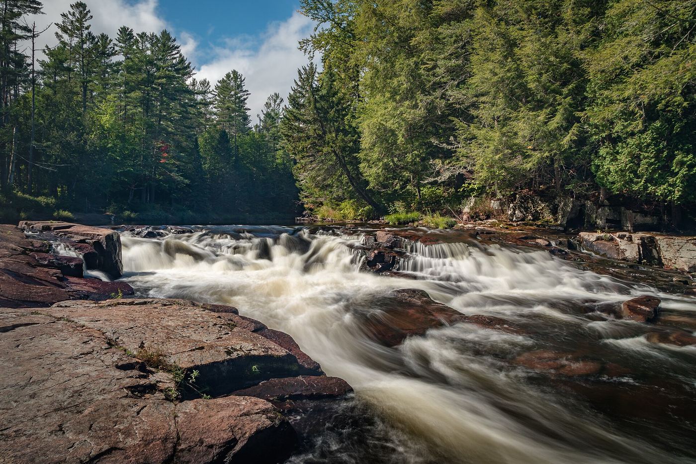
Location map; no photo available.

State land; short signed trail from Tooley Pond Road

New York

Basford Falls

About 0.3 miles

Basford Falls is a 15-foot cascade on the South Branch of the Grass River, one of several falls along Tooley Pond Road between Degrasse and Cranberry Lake. The falls are on DEC-maintained state land open to the public. From the hamlet of Degrasse, take County Route 27 northeast and turn right onto Tooley Pond Road. Basford Falls is 1.4 miles along. Park on the roadside and follow the signed trail.

Location map; no photo available.

Partial: falls location documented; no parking on Route 23A and the walk from the lots is not described

New York

Bastion Falls

Roadside view at the trailhead; walking distance from the designated parking lots not stated

Bastion Falls is beside Route 23A in Kaaterskill Clove and marks the start of the trail to Kaaterskill Falls, about a 30-minute hike. There is no parking on Route 23A. Greene County tourism directs visitors to the Laurel House Lane or Scutt Road parking areas, or to the Kaaterskill Trolley, which stops at the falls. How to walk from those lots to Bastion Falls on Route 23A is not described by the sources.

Location map; no photo available.

Wild forest trail; short uphill walk

New York

Bear Slide

0.8 miles round trip

Bear Slides is a natural waterslide on Buttermilk Brook in the Hudson River Recreation Area of the Lake George Wild Forest, in the town of Warrensburg. From the second parking area on River Road, look for a small house-shaped sign with a 6 on it next to a rock with a red trail marker. The short uphill trail leads to the slide, where there are two picnic tables. The water is not deep enough to swim, but there is wading. Return the same way.

Location map; no photo available.

Private reserve with public easement; reservation needed May to October

New York

Beaver Meadow Falls

About 6.4 miles return

Beaver Meadow Falls is a 60-foot waterfall in three drops on a small tributary of the East Branch Ausable River, inside the Adirondack Mountain Reserve (AMR). Access is through a conservation easement on private land. From the AMR parking lot, follow the dirt road to the paved road. Just before the main clubhouse, turn left between two tennis courts on Lake Road Way to the AMR gate, where the rules are posted. Walk the Lake Road for nearly 2 miles to a sign on the right for Gothics and Beaver Meadow Falls. The trail leads through forest to a bridge over the Ausable River; the falls are just over the bridge. Return the same way.

Location map; no photo available.

Partial: off-trail route only; no marked trail to the falls

New York

Beede Brook Falls

About 0.6 miles one way, off trail

Northern New York Waterfalls passes on a visitor account: park at the Zander Scott trailhead for Giant Mountain on NY 73, walk a few hundred yards east, and go into the woods on the east side of the drainage that leads to the falls. A faint herd path comes and goes. The climb is steep, and the falls lie in a deep ravine, so take care getting down into it. There is no marked trail. Return the same way.

Location map; no photo available.

Partial guide: preserve trail documented; this listing is probably the Christman Sanctuary falls, but no source ties it to this location

New York

Bozen KIll Falls

The Blue trail loop is 0.7 miles and passes the falls area

The Nature Conservancy's Christman Sanctuary in Duanesburg protects a 30-foot waterfall and many smaller cascades on the Bozen Kill. The Blue trail starts in the parking lot and makes a 0.7-mile loop through red pine plantations into a hemlock grove along the Bozen Kill, with bridges, boardwalks and several steep sections near the falls. Take the rocky yellow spur to the historic lean-to and the view of the falls. No swimming or wading is allowed. This listing is most likely the Christman Sanctuary falls, but no source gives coordinates that tie it to this location.

Location map; no photo available.

Partial guide: informal path to an unfenced cliff-edge lookout with many past deaths

New York

Bridal Veil Falls

Short walk; distance unknown

Bridal Veil Falls is a plunge of about 90 feet on Plattekill Creek, the third falls in Platte Clove, on New York State land. The top and base of the falls are very dangerous, and Catskill Mountaineer does not recommend going to either. The view it recommends is from Bridal Veil Lookout, across the clove. From the Kaaterskill High Peak parking area, walk along Platte Clove Road past the Hell's Hole Creek bridge and past the old parking lot. About 100 feet past it, where the road touches DEC land, cross the guardrail and follow the path back toward Hell's Hole ravine, downhill through conifers to the edge of the clove. The lookout sits between Platte Clove and Hell's Hole. Catskill Mountaineer says more people have died at this lookout than anywhere else in Platte Clove: the drops are 100 to 200 feet and the pine needles are very slippery. Stay well back from the edge.

Location map; no photo available.

Long High Peaks hike on marked trails

New York

Bushnell Falls

About 5 miles one way

Bushnell Falls is a 20-foot waterfall on Johns Brook in the High Peaks. From the Garden parking area at the end of Adirondack Street in Keene Valley, the trail is fairly gentle for about three miles, then descends into Johns Brook Valley. Follow signs to Johns Brook Lodge and continue up the valley. A spur to the falls leaves 1.5 to 2 miles beyond the lodge, and a side trail of under a quarter mile leads to the base. Return the same way.

Location map; no photo available.

Partial guide: roadside view only; the falls are on private property and there is no formal parking

New York

Buttermilk Falls

Roadside view; no walk

Buttermilk Falls is a cascade of about 60 feet on the outlet of Sly Pond in the town of Fort Ann. It is on the west side of Buttermilk Falls Road, just north of the Twiss Road junction. The falls are on private property; Northern New York Waterfalls asks visitors to enjoy the view from the roadside.

Location map; no photo available.

Partial guide: roadside view from an informal pull-off; land status of the path not stated

New York

Buttermilk Falls

Roadside view; a small foot path leads down over the guardrail to the water

Buttermilk Falls is a 16-foot cascade across a broad section of Tomhannock Creek in Schaghticoke, easily seen from Buttermilk Falls Road. From Troy, take Route 40 north to Route 67 in Schaghticoke, turn left, then turn left onto Buttermilk Falls Road. The falls appear on the left after about a mile and a half. There is no formal parking; an obvious pull-off sits just after a bridge. A small foot path leads down over the guardrail to the water’s edge. Another waterfall downstream is on private property. The route description dates from 2015.

Location map; no photo available.

Partial guide: short path, but legal parking at the pull-off is not confirmed under DEC corridor rules

New York

Buttermilk Falls

Short; NYFalls allows about 30 minutes

Buttermilk Falls is a 36-foot cascade on Buttermilk Falls Brook just above Rondout Creek in the Peekamoose Valley, Town of Denning, in the Catskill Forest Preserve. NYFalls says to park at a small gravel pull-off on the right side of Peekamoose Road about 2 miles past Peekamoose Lake, coming from West Shokan, then take the short dirt path to the falls. DEC rules for the Peekamoose Valley Riparian Corridor require a $10 advance permit from May 15 to September 15 and allow parking only in designated lots. Whether this pull-off counts as a designated lot is not stated.

Location map; no photo available.

Village park trail to an observation deck

New York

Canajoharie Falls

0.75 miles each way on the Scenic Trail

Canajoharie Falls, also called Wintergreen Falls, is a 40-foot waterfall on Canajoharie Creek south of the village of Canajoharie. Montgomery County tourism lists it at Wintergreen Park with a viewing platform. From the park’s upper parking area, the well-used Scenic Trail leads 0.75 miles to a large wooden observation deck overlooking the falls. Return the same way. The route description dates from 2015.

Location map; no photo available.

Partial guide: public parking and a safe pedestrian viewpoint are unknown

New York

Cantine Dam Falls

Roadside view from the bridge

Cantine Dam falls is where Esopus Creek drops over the historic Cantine Dam on the south side of the Village of Saugerties, at the foot of Hill Street. Entering Saugerties from the south on Route 9W (and 32), the falls are on your right as you cross the red bridge over the Esopus. The dam once powered Saugerties mills. The town also says there are good views from the Cantine Mills Hotel and the balcony of the BLACKBARN restaurant, which are private businesses.

Location map; no photo available.

Short informal path from the Cascade Lakes day-use spit; roadside view also possible

New York

Cascade Falls

Short walk on an informal path; no distance given

Cascade Falls drops about 100 feet down the side of Cascade Mountain toward the Cascade Lakes. It can be seen from Route 73 in Cascade Pass. For a closer view, take the driveway to the spit of land between Upper and Lower Cascade lakes. Park where you do not block the driveway, head toward Lower Cascade Lake, cross the bridge, and follow the path straight toward the waterfall to the base of an old slide of logs, rocks and boulders. Climb up and away from the lakes to a large rock knob with a view of the falls; the base is a short scramble farther. There is no designated trail. The route description dates from 2019.

Location map; no photo available.

State park gorge trail; closed for the season until late May

New York

Central Cascade

Part of the 1.5-mile one-way Gorge Trail; distance to Central Cascade not stated

Central Cascade is a 60-foot waterfall below Folly Bridge in Glen Cathedral, Watkins Glen State Park. From the main entrance, walk up the Gorge Trail past the Narrows and Sylvan Rapids into Glen Cathedral. A large set of stairs climbs to Folly Bridge above the cascade, and Rainbow Falls is just around the next bend. The north rim Indian Trail has a Central Cascade Overlook with a view down to Folly Bridge and the cascade. The Gorge Trail closed for the season on October 25, 2026 and reopens in mid to late May 2027.

Location map; no photo available.

Short path and roadside parking documented; surrounding forest is private

New York

Christine Falls

Less than 0.1 miles one way

From the junction of NY 30 and NY 8 in Speculator, follow 30/8 toward Wells for about 3 to 3.6 miles to a small unmarked dirt pull-off behind the guardrail on the left, below the dam. Drive down the short embankment to the parking area. The path at the back of the parking area goes down a rocky slope to a rock spine overlooking the falls, which drop in two sections below a hydro dam. Stay on the trail and in the swimming areas; the surrounding forest is private property.

Location map; no photo available.

State land; short trail from Tooley Pond Road

New York

Copper Rock Falls

A little over 0.1 miles to the river, then a short way upstream

Copper Rock Falls is a slide of about 10 feet on the South Branch of the Grass River, named for copper-colored spots on its rocks. It is on DEC-maintained state land beside Tooley Pond Road. From Degrasse, follow Tooley Pond Road 8.9 miles. After crossing the Grass River bridge, the access is just ahead on the left; the DEC trail sign stands on the right side of the road. Follow the trail to the river, about a tenth of a mile, then head upstream to the base of the falls. The top of the falls and two more upper falls are farther upstream.

Location map; no photo available.

Short path from a small village parking spot; surrounding land private

New York

Deckertown Falls

Under 0.1 mile

Deckertown Falls (also called Catlin Creek Falls) is a set of three narrow, chute-like cascades totalling more than 50 feet on Catlin Mill Creek in the village of Montour Falls. From the small parking area at the end of the street, take the short path to the creek near the base of the falls. Most of the surrounding land is private, so stay in the public right of way. The gorge upstream has steep, unstable shale cliffs and is not a route for casual visitors.

Location map; no photo available.

Partial guide: bushwhack approach; final route to the falls not described in detail

New York

Delmura Falls

1 to 2 miles one way, partly off trail

Delmura Falls is a 20 to 25-foot plunge on the west side of Kaaterskill Creek, just below the Five Cascades, on New York State land in Kaaterskill Clove. Catskill Mountaineer describes parking at a small lot on the left side of Route 23A, taking a small path from the uphill side of the lot, and bushwhacking down to Lake Creek. Cross Lake Creek only at low water, find the bridge abutments of the old Rip Van Winkle road (old Route 23A), follow the old road for a while, then bushwhack to the falls. The final bushwhack is not described in detail.

Location map; no photo available.

Short signed public trail to a railed viewpoint

New York

Dionondahowa Falls

About a third of a mile to the viewing area

Dionondahowa Falls is a natural falls on the Batten Kill topped by a dam, about 60 feet high in total, east of Schuylerville. From the pull-off on Windy Hill Road, follow the well-defined trail into the woods. At a fork both ways lead to the falls; the right fork stays near the river with views of the dam top. A gate blocks the way toward the cliffs; climb the stairs up the hillside to rejoin the other branch, then turn right and go down a steep, eroded path to a railed viewing area. Trees partly block the view. The trail is not well marked near the viewing area. The route description dates from 2019.

Location map; no photo available.

Partial guide: boat access only and an unmarked herd path

New York

Dug Mountain Brook Upper Waterfall

About 0.25 miles on foot after the paddle

Dug Mountain Brook has a small falls where it enters the south end of Indian Lake and a larger upper falls a short way upstream to the east. Hamilton County tourism describes a paddle-and-hike trip from the DEC Indian Lake Islands boat launch on NY 30: paddle 2 miles across the lake, keep Long Island on your right, and head southwest into the narrow part of the lake for 5.5 miles to where Dug Mountain Brook enters. Land at the picnic area by the lower falls and follow the herd path on the north side of the brook for about a quarter mile to the upper falls. A shorter 2.5-mile paddle down the Jessup River from NY 30 is also described, but it is hard in low water.

Location map; no photo available.

Partial: paddle-in route documented; which of the two drops this listing marks is not confirmed

New York

Dug Mountain Brook Waterfall

About 0.25 miles one way on foot after a long paddle (paddle roughly 16 miles round trip)

Launch at the DEC Indian Lake Islands boat launch on NY 30, 12 miles north of Speculator. Paddle 2 miles across the lake, keep right around Long Island, and head southwest 5.5 miles to the end of the lake, where Dug Mountain Brook enters. A small 4-foot lower fall is at the mouth beside a picnic table. A herd path on the left (north) side of the brook leads about 0.25 miles to the larger 40-foot upper falls. Northern New York Waterfalls places this listing near the brook mouth, so it may mark the lower fall rather than the upper one. Return the same way.

Location map; no photo available.

Partial guide: short informal path from a roadside pull-off; land ownership and official trail status not stated

New York

Dunkley Falls

About a tenth of a mile

Dunkley Falls is a 10 to 12 foot waterfall on Mill Creek near Wevertown, off Route 28 between Wevertown and Warrensburg. From the roadside pull-off on Harrington Road, look for a sign reading No Littering $500 Fine and the obvious trail beside it. Walk past the large rocks to a fire ring and metal grill, take the trail to the left, and follow it a short distance to the top of the falls. Several paths cross here. The way down to the base needs care and is slippery when wet. Who owns the land is not stated; there is no official trailhead sign. The route description dates from 2021.

Location map; no photo available.

Partial guide: trail name and exact falls position not given; final bushwhack

New York

East Kill Falls

7.2 miles return

Great Northern Catskills, the Greene County tourism office, describes a full-day hike to East Kill Falls from a parking lot at the end of Stork Nest Road off Maple Lawn Road. A DEC trail register is about 0.3 miles in. The trail does not reach the falls; it comes within 100 to 200 feet, and once you hear the stream you bushwhack to it. The tourism page does not name the trail or give the falls’ position, so the match to this listing rests on the name.

Location map; no photo available.

Short steep preserve trail on private land opened to the public

New York

Emilie Jonas Falls

Short but steep; NYFalls allows about 45 minutes there and back

Emilie Jonas Falls, also called Goodwins Falls or Upper Gulf Creek Falls, is a 65-foot cascade on Gulf Creek in the Town of Lansing. It is on private property in the Emilie Jonas Falls Nature Preserve, opened through Lansing Pathways and the Town of Lansing with the landowners. From the small lot, a short, steep dirt trail drops into the gorge, then follows the creek to the base of the falls. Downstream waterfalls are on private property and closed. NYFalls notes the hiking privilege can be revoked without warning.

Location map; no photo available.

Partial: trail route documented; the last 0.2 miles is a thick bushwhack

New York

Fairy Ladder Falls

About 4.2 miles one way

Park at the Adirondack Mountain Reserve (AMR) lot on NY 73 across from the Giant Mountain Wilderness signs, just south of St. Huberts. From the guard shack, walk Lake Road to the Gill Brook Trail, climb about 2.3 miles on the trail past the lower Gill Brook falls, then make a 0.2-mile bushwhack to the 90-foot falls. Fairy Ladder Falls is just outside the AMR and is reached through it under an easement. Hikers can get glimpses from the marked trail at high water. Return the same way.

Location map; no photo available.

City park woodland trail to a man-made waterfall

New York

Fallkill Falls

Short walk inside the park; distance not stated

Fallkill Falls is a man-made waterfall in the Ravine area of Prospect Park, Brooklyn. It was fenced off from 1995 until Prospect Park Alliance opened the mulched Fallkill Trail to it in 2023. A Brooklyn Magazine walking route reaches it by a small bridge near Dog Beach at the edge of the Long Meadow, a short walk from the Ninth Street entrance on Prospect Park West. The trail gives a view from the foot of the falls. Stay on the trail and keep dogs leashed.

Location map; no photo available.

New York

Falls of Carrilon

Park walk; distance not specified

The tourism listing places Falls of Carillon in Bicentennial Park. The town calls this final river drop Bicentennial Falls or Lower Falls and identifies a viewing platform.

Location map; no photo available.

Partial guide: probable match to Tenant Creek First Falls; marked DEC trail

New York

first falls

0.9 miles one way

Tenant Creek Falls, also called Tenant Creek First Falls or Hope Falls, is a 35 to 40 foot cascade that fans out over a steep rock face. From Northville take NY 30 north, turn right on Old Northville Road, and in 1.4 miles turn left on Hope Falls Road. Drive about seven miles; the last mile is unpaved. Park at the large area on the right. Register at the kiosk a short distance in and follow the yellow DEC markers 0.9 miles to the falls. Two more falls are upstream. This listing is taken to be the first falls; its point sits a short way upstream of the published coordinates.

Location map; no photo available.

Short path and parking documented; busy highway crossing

New York

Flume Falls

Up to about 0.2 miles one way

Park in the main Flume Trail System lot on NY 86 and very carefully cross the road and the bridge over the West Branch Ausable River; the upper drops are visible from the bridge. On the far side of the bridge, follow the obvious but unmarked trail downhill away from the road and take faint side paths on the left to the river edge. The first viewpoint is just above a 15-foot drop a few feet below the bridge; a second viewpoint is further downstream. There are no official viewing areas. Return the same way.

Location map; no photo available.

Town trail system to a pedestrian bridge viewpoint

New York

French Hollow Falls

About 3 miles round trip from Vosburgh Road; about 0.4 mile from the French's Mill Road trailhead

French's Hollow Falls is on the Normans Kill below the Watervliet Reservoir dam in Guilderland, where mills once stood. The Town of Guilderland's Vosburgh Trails make a 2.1-mile loop through grassland, with a spur along a wooded crest to the reservoir and a popular pedestrian bridge over the Normans Kill. From the bridge there is a view of the falls. A shorter way is to walk quiet French's Mill Road for about 4/10 of a mile from the French's Mill Road trailhead to the bridge. The route description dates from 2018.

Location map; no photo available.

Town conservation area trail from a small roadside lot

New York

Guppy Falls

Short walk; no total distance is given

Guppy Falls is a waterfall of about 20 to 25 feet on a small tributary of Ninemile Creek in the Town of Skaneateles Conservation Area. CNY Hiking places the trailhead for Guppy Falls on Gully Road, about a mile in from Old Seneca Turnpike, and the town trail map shows the trail to the falls and an overlook. The town bought the former Guppy Farm in 2001 and made the nature trail above the falls an official trail. The shale is slippery and the flow is a trickle in dry summers.

Location map; no photo available.

Long wilderness hike; view the falls from the trail

New York

Hanging Spear Falls

About 6 to 7 miles one way

Hanging Spear Falls is a 75-foot waterfall on the Opalescent River below Flowed Lands, in the High Peaks Wilderness. From the Upper Works parking lot at the end of the Tahawus road (County Route 25), follow the Calamity Brook Trail to Flowed Lands, passing the monument to David Henderson. Cross the outlet of Flowed Lands and go south on the trail about half a mile downstream to the falls. There are a few viewpoints from the trail. The way down to the base is very steep and dangerous. A longer approach of about 7 miles follows a flat route for 6 miles and then climbs to the falls.

Location map; no photo available.

State forest trail and parking documented

New York

Harper Falls

About 0.6 miles one way

From the small parking area on Downerville Road, pass the yellow stop gate and follow the Harper Falls Trail, an old road, downhill toward the Grass River. The trail rises briefly at 0.25 miles, levels at 0.4 and 0.5 miles, then makes a last descent. At 0.6 miles reach a designated campsite (yellow DEC disc) beside the river; walk carefully onto the rocks for a view of the 60-foot falls in a rock chasm. Return the same way, about 122 feet of climbing.

Location map; no photo available.

Land trust preserve; short walk from a roadside lot

New York

Hart's Falls

About 1/2 mile round trip

Hart's Falls is on the Grass River in the 33-acre Hart's Falls Preserve, donated to the St. Lawrence Land Trust in 2015. From the parking area a single trail, an old road, follows the edge of the forest and field for about a quarter mile to a wooden boardwalk over a marshy spot. Just after the boardwalk, take the unmarked but obvious trail to the right into the woods; in a couple of minutes it reaches the river at the falls, with mill ruins just downstream. The river is narrow and powerful here and the smooth rocks are very slippery when wet. The route description dates from 2020.

Location map; no photo available.

Partial guide: roadside view; only shoulder parking on a fast highway

New York

Hectors Falls

Roadside view

Hector Falls is a tall series of cascades on Hector Falls Creek, dropping to Seneca Lake beside NY 414 in the Town of Hector. Drive north from Watkins Glen on NY 414 for about 2.5 miles; after a bridge the falls are on the right. Only the upper part is visible from the road or creek bed. The lower cascades are on private property and visible only from the lake by boat.

Location map; no photo available.

Roadside bridge view; private land around the falls

New York

Hells Hole Falls

Short walk from the parking area to the bridge

Hell's Hole Falls is on Hell's Hole Creek just below where Platte Clove Road crosses it, near the top of Platte Clove in the Catskills. Park at the DEC parking area for Kaaterskill High Peak, the narrow dirt road on the left just before the Hell's Hole bridge when coming from Tannersville. Walk to the bridge; Catskill Mountaineer says you can see Hell's Hole Falls from it. The land under the bridge and next to the falls is private, so stay on the road. Do not try to climb down into Hell's Hole; it is too steep to descend safely without ropes, and people have died in this area.

Location map; no photo available.

Remote wilderness hike; often an overnight trip

New York

High Falls

About 9 miles to the spur junction, then 0.4 miles to the falls

High Falls is a 15-foot drop, the largest on the main Oswegatchie River, deep in the Five Ponds Wilderness. Park at the Dead Creek Flow trailhead on South Shore Road in Wanakena and walk the road about half a mile to the High Falls trailhead. The trail follows an old railroad bed beside Skate Creek, with some beaver flooding. Pass the short spur to High Rock, continue straight at the Sand Lake junction at about 8 miles, and at about 9 miles turn right on the 0.4-mile spur to High Falls. Two lean-tos sit near the falls, one on each side of the river. Return the same way, or continue on the Cranberry Lake 50 trail to complete the loop back to Wanakena.

Location map; no photo available.

State unique area trail; rocky and challenging

New York

High Falls

About 6.4 miles return

High Falls is a waterfall on the Neversink River in DEC's Neversink River Unique Area, a gorge between Rock Hill and Forestburgh. From the Katrina Falls Road parking lot, follow the blue trail markers for just over 3 miles, then turn right on the High Falls trail and follow yellow markers a little over a tenth of a mile to the falls. DEC calls this the area's most popular and most challenging hike because of rocky terrain. The Wolf Brook trailhead also connects to the High Falls Trail.

Location map; no photo available.

Private campground access with fee and stairway documented

New York

High Falls

Less than 0.2 miles one way, including about 208 steps

Cross the Chateaugay River on US 11 in Chateaugay village, take the first left (Franklin County Route 22), then the first left on Cemetery Road to its end, and turn left to the High Falls Park entrance. Enter through the park store and pay the visitor fee. A short path and a stairway of about 208 wooden and stone steps lead to the base of the 120-foot cascade; an upper trail looks at the dam and the top of the falls. Return the same way.

Location map; no photo available.

Private paid attraction with walkway loop documented

New York

High Falls (Climax)

Main loop about half a mile

High Falls Gorge is a privately owned 22-acre park on NY 86 between Wilmington and Lake Placid; you pay admission to see the falls. From the gift shop and visitor center, the main loop goes down the gorge on walkways fixed to the rock walls, crosses a lower bridge with a view of all four falls (Main Falls, Mini Falls, Rainbow Falls and Climax Falls), and climbs through the woods to an upper bridge. Part of the walkway has metal grate and glass floors.

Location map; no photo available.

Private attraction; paid half-mile loop

New York

High Falls (Main)

About 1/2 mile loop

High Falls Gorge is a privately owned attraction on the West Branch of the Ausable River between Wilmington and Lake Placid. Its series of four drops is collectively called High Falls; the Main Falls is the farthest upstream and tallest drop, about 30 to 35 feet. Enter through the gift shop and visitor center at 4761 NYS Route 86. The loop crosses the river, follows walkways along the gorge walls (some metal grate and optional glass floors), passes a stairway down to a viewing area near the base of the Main Falls, crosses a lower bridge with a view of all four falls, and returns through the woods. The falls can only be seen when the facility is open.

Location map; no photo available.

Paid attraction walkway through the gorge

New York

High Falls (Mini)

About half a mile round trip on walkways and stairs

Mini Falls is a 5-foot drop directly below the 35-foot Main Falls on the West Branch Ausable River in High Falls Gorge, a privately run attraction at 4761 NYS Route 86 between Wilmington and Lake Placid. Enter through the main lodge and buy a walk ticket. Walkways, stairs and bridges lead down through the gorge past Main Falls, Mini Falls, Rainbow Falls and Climax Falls.

Location map; no photo available.

Private attraction; admission fee

New York

High Falls (Rainbow)

About 0.5 miles return

High Falls is the official name for the series of drops on the West Branch of the Ausable River inside High Falls Gorge, a private attraction between Wilmington and Lake Placid. The attraction names four falls: Main Falls (about 35 feet), Mini Falls, Rainbow Falls (about 20 feet) and Climax Falls. Enter through the gift shop and pay the entrance fee. A half-mile round trip on maintained walkways, stairs and bridges passes all four falls. The falls cannot be seen when the attraction is closed.

Location map; no photo available.

Village park falls visible from the parking lot; flows only in canal season

New York

Holly Falls

Short walk; falls visible from the parking area

Holley Canal Falls, also called Holley Falls, is a 35-foot man-made cascade over red sandstone in Falls Park, Village of Holley. Overflow water from the Erie Canal feeds it. From NY 31 in Holley, turn onto Frisbee Terrace and follow it to the end, staying right, to the lot across from the falls. Walk left on the gravel path to the small grassy area in front of the falls. An optional trail crosses the bridge toward the pavilion and climbs to the crest and the paved Canal Trail.

Location map; no photo available.

Village bridge viewpoint with greenway parking

New York

Hoosick Falls

Bridge viewpoint beside a parking area; no walk distance given

The falls that gave Hoosick Falls its name are now dammed. Main Street crosses the Hoosic River on a bridge over the falls at the edge of the historic district. The Hoosick River Greenway, a 2.5-mile gravel, grass and dirt path along the river, crosses Main Street at this bridge, where there is a second parking area. View the falls from the bridge or the greenway.

Location map; no photo available.

Campus gorge view from a pedestrian bridge

New York

Horseshoe Falls

Short walk to the bridge

Horseshoe Falls, also called Foaming Cascade, is a waterfall in Fall Creek Gorge on the Cornell University campus in Ithaca, next to the university's small hydroelectric plant. Waterfall Hero gives its height as 30 feet; NYFalls gives 20 feet. From Stewart Avenue just north of the Fall Creek bridge, turn right onto Fall Creek Drive and in 0.2 miles bear right into a small parking area. Walk onto the pedestrian suspension bridge over Fall Creek; Horseshoe Falls is right below the bridge, and Rocky Falls is upstream beside the power plant. Waterfall Hero says an old trail to the base has been closed. The route description dates from 2021.

Location map; no photo available.

Partial guide: free bridge view; parking for the view not stated

New York

Horseshoe Falls

Roadside bridge view

Horseshoe Falls is one of the named falls at Ausable Chasm on the Clinton and Essex county line. Northern New York Waterfalls says Rainbow, Horseshoe and Lower Horseshoe Falls can all be seen from the Route 9 bridge, and that paying for the Ausable Chasm trails only moderately improves the views. Ausable Chasm is a private attraction with paid trails and tours. Where to park for the free bridge view is not stated.

Location map; no photo available.

Short unmarked path and roadside parking documented

New York

Horseshoe Mines Falls

About 100 yards one way from the railroad bed

Take US 209 to Spring Glen, turn east on Old Mountain Road and immediately left on Lewis Road. Drive about 0.8 miles, past Spring Glen Campground, to an old stone bridge over a small stream on the right; pull over just past it on the left. Walk up to the old railroad bed to the left of the stream and bridge, cross the bed without crossing the bridge, and follow the unmarked path upstream, keeping the stream on your right as you walk upstream. The 60- to 70-foot falls end in a drop over the opening of an old mine tunnel. Enter the mine only at your own risk.

Location map; no photo available.

Roadside bridge view; some land posted

New York

Hulls Falls

Roadside; about a minute's walk

Hulls Falls is a 20-foot cascade in two steps on the East Branch of the Ausable River, directly at the Hulls Falls Road bridge north of Keene. The upper step is just above the bridge, and the lower step splits around a large boulder just downstream. From Keene, just north of where NY 73 and NY 9N split, take NY 73 north. Just before it crosses the river, turn left on Hulls Falls Road and go 1.6 miles to the bridge. The road has a second end on NY 73 farther south, where the bridge is only 0.9 miles in. Some land on the downstream side is private and posted.

Location map; no photo available.

Wilderness trail; long day hike from a fee trailhead

New York

Indian Falls

About 4.3 miles each way

Indian Falls is on Marcy Brook in the High Peaks Wilderness, on the main route to Mount Marcy. From the Adirondack Loj parking area, follow the blue-blazed Van Hoevenberg Trail to Marcy Dam (2.1 to 2.3 miles). Cross the wooden bridge below the former dam, turn left toward Mount Marcy, pass the Phelps Mountain trail junction at 3.0 miles, and continue to Indian Falls at about 4.3 miles, where the trail crosses the brook on open ledges. The view of Algonquin from the slabs above the falls is the main attraction. To see the falls from below, take the Lake Arnold Crossover Trail down about 75 yards. Return the same way.

Location map; no photo available.

Short trail in a city-edge wilderness park

New York

Indian Falls

Short; NYFalls allows about 15 minutes to see the falls

Indian Falls is a 6 to 8-foot curtain on the West Branch of Eighteen Mile Creek in Rollin T. Grant Gulf Wilderness Park, just outside Lockport. From downtown Lockport head west on NY 31 (Niagara Street) for 0.8 miles, turn left on West Jackson Street, and drive 0.3 miles to a gravel pull-off on the right marked by a round millstone. Trails lead down into the gulf to the falls.

Location map; no photo available.

Partial guide: preserve trail to a nearby cascade; the last part follows the stream bed and the name's extent is unclear

New York

Jacob's Ladder Falls

About 2 miles for the loop

Jacob's Ladder Falls is a cascade with many small rock steps on the Plotter Kill in the Plotter Kill Preserve west of Schenectady. From the Lower Gregg Road trailhead, follow the trail to the North Rim and pick up the red trail. Turn downstream, descend and cross the Plotter Kill to a junction where a yellow trail heads off; follow the yellow trail a few minutes to a cascade where it ends. Jacob's Ladder Falls is just above, reached by walking up the stream bed, which is only practical at low water. A second yellow trail leads back up to the North Rim. The extent of the name is unclear: some hikers apply it to the whole series of five or six small cascades. The route description dates from 2012.

Location map; no photo available.

View from a state land boat launch

New York

Jamestown Falls

About a minute from the parking area; the falls are a few hundred yards upstream

Jamestown Falls is a 20-foot cascade on the Raquette River in the town of Colton. From NY 56, 2.4 miles from its junction with NY 3 at Sevey Corners, turn right onto a dirt road just after a small stream, marked by a DEC sign set back from the road. Drive about 0.3 miles to the river’s edge, where there is a parking area and boat launch. The falls are on your right, a few hundred yards upstream. To get closer, paddle up the river. Much of the land around the access road is private and posted.

Location map; no photo available.

Public trail through state land and private property; steep climb

New York

Jensen Cascade

About 1 mile one way

Jensen Cascade is a waterfall that pours over a cliff toward the Delaware River beside Jensen's Ledges, on the Bouchoux Trail near Lordville, Town of Hancock. From the parking area, sign the trail register. Shortly after, take the left fork, signed for the ledges. The trail climbs steadily for about a mile. Where it flattens, the trail forks; to see the waterfall, look for a smaller path on the right that leads down across the stream to a ledge with the falls. Jensen's Ledges are just beyond. The ledges have steep drop-offs with no railings. Parts of the trail are on or surrounded by private property; stay on the trail.

Location map; no photo available.

Partial: roadside view from the crest; land ownership not confirmed

New York

Judds Falls

A few minutes to the crest; over an hour to go down the gorge and up to the base

Judds Falls is a 135-foot cascade at the head of Canajoharie Creek. From the gravel parking area beside NY 166 near the crest, a short walk leads to a view from the top of the falls. NYFalls says the falls are not in an official park or preserve; the land seems to be public, possibly state highway land, but this is not confirmed. An unmaintained, overgrown and risky path goes down to the creek for those who want to reach the base.

Location map; no photo available.

Partial guide: DEC trail to an unnamed waterfall spur; match to this falls probable

New York

Keshequa Creek Falls

About 0.3 miles down into the gorge, then up to about a mile along the old grade

Sonyea State Forest borders the Keshequa Creek gorge near Mount Morris. DEC says it is popular to walk past the gate and about 0.3 miles down into Keshequa Gorge, then along what is left of the old canal and railroad grade beside the creek. Two short spur trails lead to the water, one to a waterfall and one to Toadfest Point. DEC does not name the waterfall, so its match to Keshequa Creek Falls and this listing is probable but not confirmed. Large sections of the old grade have washed away.

Location map; no photo available.

State forest trail and parking documented; accessible trail closure stated by DEC

New York

Lampson Falls

About 0.5 to 0.6 miles one way

Park on the widened shoulder of County Route 27 at the DEC Grass River Wild Forest sign for Lampson Falls. Pass the gate and walk the wide old road; sign in at the register halfway. At 0.45 miles a side path on the left leads 350 feet to a view of the river above the falls. At 0.5 miles the accessible trail goes left to a view of the top of the falls; an old grassy road or a steep footpath leads to the sandy beach below the 40-foot falls at 0.6 miles. Return the same way.

Location map; no photo available.

Partial guide: the trail to the waterfall and its exact location are unknown

New York

LG waterfall

Distance unknown; the estate has about 5 miles of trails

Locust Grove, the former estate of Samuel F. B. Morse in Poughkeepsie, is a historic site and wildlife sanctuary with about 5 miles of old carriage-road trails. Scenic Hudson says the trails pass meadows, a pond, a stream with a pretty waterfall, wetlands and a cove on the Hudson River. This listing is a waterfall on the estate grounds. Which trail reaches the waterfall is unknown; check the trail maps posted on the estate. Some trails are steep.

Location map; no photo available.

Partial guide: preserve trail past several Wynantskill falls; which drop is Lower Burden Falls is not stated

New York

Lower Burden Falls

About half a mile from the dam to the upper end of the property

Burden Pond Preserve in South Troy protects the Wynantskill gorge, with several waterfalls that once powered the Burden Iron Works. Parking lots are on Campbell Avenue next to the laundromat and on Delaware Avenue near the baseball fields. A 2016 Walking Man account starts on Campbell Avenue near the south end of Burden Pond Dam, crosses the Mill Street (Route 4) bridge, walks east across the lawn to the dam, and follows an easy trail along the pond and the Wynantskill past powerhouse ruins to a first set of cascades and then an eight-foot main waterfall. Side trails climb steep, muddy slopes; stay near the water. Which of these drops is Lower Burden Falls is not stated.
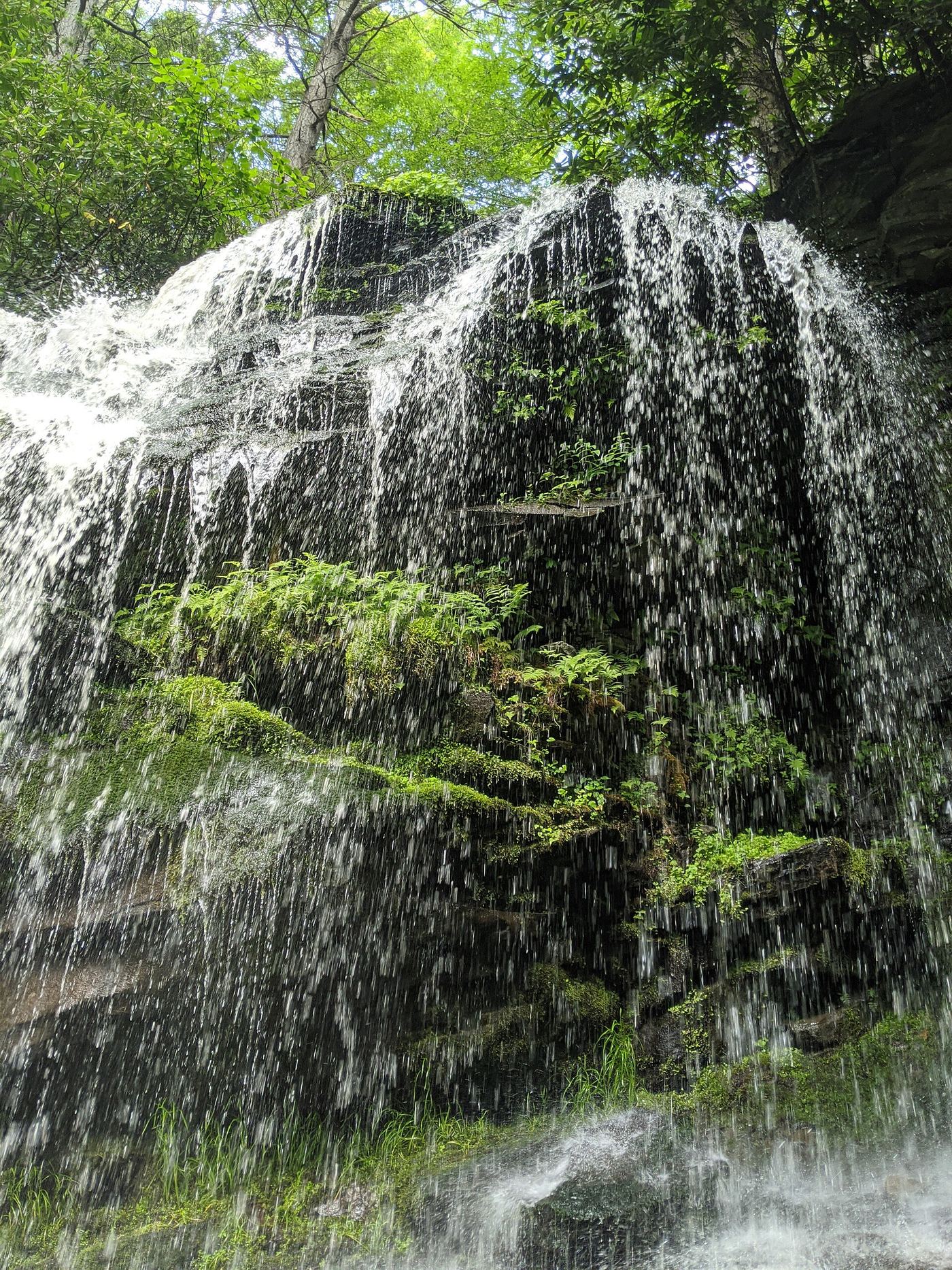
Location map; no photo available.

Partial guide: bushwhack and creek crossing only safe at low water

New York

Lower Buttermilk Falls

About 1 mile one way, partly off trail

Lower Buttermilk Falls is a 46-foot cascade at the bottom of Buttermilk Ravine, where it drops into Kaaterskill Creek opposite the old Kiersted Tannery foundation. Catskill Mountaineer warns not to descend the steep slopes by the parking lot. Instead, walk roughly parallel to Route 23A toward Bastion Falls, then descend at an angle to Lake Creek. Follow an old trail down Lake Creek to the old Rip Van Winkle road at the bridge pillars and follow that road east until the falls come into view across Kaaterskill Creek. Crossing the creek is only safe at low water.

Location map; no photo available.

Partial guide: how much of the lower falls can be seen from the designated trail is not clear

New York

Lower Carpenter Falls

About 0.6 miles one way

Lower Carpenter Falls, also called Angel Falls, is a 62-foot drop on Bear Swamp Creek below Carpenter Falls, in DEC's Carpenter Falls Unique Area near Skaneateles Lake. From the parking area, the boardwalk leads to the Carpenter Falls viewing platform. To go downstream, follow the rim trail (Old Jug Path) along the south side of the gorge. DEC says the lower falls are at the northeast end of this trail. World of Waterfalls reports warning signs at the end of the rim trail and found the gorge falls easier to hear than to see from the trail. DEC requires visitors to stay on designated trails, so do not take the steep unmarked paths down into the gorge.

Location map; no photo available.

State park trail and parking documented

New York

Lower Falls

About 0.5 miles one way to the footbridge (Waterfall Hero hike length 1.0 mile)

Enter Letchworth State Park at the Castile entrance, bear right at the visitor center and follow Octagon Road to the parking at its end in the Lower Falls area. Turn right on the Gorge Trail for 0.3 miles to a split, then left on the Footbridge Trail, which goes down stone steps to the Genesee River at the 50-foot Lower Falls. Continue 0.2 miles to the footbridge for another view. Return the same way.

Location map; no photo available.

Wilderness trail and trailhead documented

New York

Lower Falls

About 4.2 miles one way

Take Coreys Road south from NY 3 between Tupper Lake and Saranac Lake for about 3 miles and park in the lot on the right about 0.2 miles past Stoney Creek. The trail starts at the rear right of the lot behind the register kiosk and is well signed. Just beyond four miles you reach a clearing with a barn-type building and a ranger residence; continue to a sign for Lower Falls and go to the river. The Lower Falls is a low slide, more like rapids, at an S-bend in the Raquette River. Return the same way.

Location map; no photo available.

City bridge and park viewpoints; short walk

New York

Lower Falls

Short walk from the Maplewood Park lot to the bridge; Maplewood trail loop about half a mile

Lower Falls is the lowest of Rochester's Genesee River falls, about 100 feet high with a man-made crest. The quickest view is from the southern sidewalk of the Driving Park Avenue Bridge, through a high chain-link fence. Park in the Maplewood Park lot off Driving Park Avenue and walk to the bridge. For other views, take the trail from the restroom building east of the lot down into the gorge, under the bridge, to a viewing area and on to Lower Falls Park at the crest of the falls. On the east side, a paved access road from the DEC fishing access lot on Seth Green Drive descends into the gorge under the bridge. The informal path to the base from Maplewood Park is not an official trail.

Location map; no photo available.

Short accessible state park path to the falls pool

New York

Lower Falls

Short accessible path from the lower park

Lower Falls, also called Enfield Falls, is a 70-foot cascade on Enfield Creek in Robert H. Treman State Park near Ithaca. From Ithaca take Route 13 south about 5 miles to Route 327, then go about a quarter mile to the lower park entrance and park. A short, accessible trail leads to the swimming area directly below the falls. The longer Gorge and Rim trails continue up the glen toward Lucifer Falls.

Location map; no photo available.

Town park overlook a short walk from the lot

New York

Ludlowville Falls

Less than 100 yards to the upper viewing area

Ludlowville Falls (also called Salmon Creek Falls) is a 35 to 40 foot waterfall on Salmon Creek at the back of Ludlowville Park, a small town park in Lansing. From the parking area, walk across the flat grassy field to the fence above the falls; there is no formal path. A rougher way leads down to the creek bed below the falls. A large grotto lies under the south end of the falls. People swim in the pool, but boulders that have fallen from the caprock are a reason for caution.

Location map; no photo available.

View from a village boat launch

New York

Lyons Fall

About a minute from the parking area

Lyons Falls is a 63-foot block waterfall on the Black River in the village of Lyons Falls, just below where the Moose River joins. A hydroelectric dam sits above it. From NY 12, drive into the village and follow the boat launch signs to the lower launch, which gives a good view of the falls. Another spot just upstream gives a view at the top of the falls.

Location map; no photo available.

High Peaks trail route from the Adirondak Loj; about 2.5 miles one way

New York

MacIntyre Falls

About 2.5 miles one way

MacIntyre Falls, also called MacIntyre Brook Falls, is a cascade on MacIntyre Brook in the High Peaks, on the trail to Algonquin Peak. From the hiker parking at the Adirondak Loj on Heart Lake, follow the Van Hoevenberg Trail for 0.9 miles, then go straight on the Algonquin Peak trail for 1.7 miles. The falls come down right to the trail. Return the same way.

Location map; no photo available.

Roadside bridge view; pull-offs on both sides of the road

New York

Manor Kill Falls

Roadside; a few steps from the pull-offs to the bridge

Manor Kill Falls is a series of falls and cascades that drop more than 100 feet along the Manor Kill before it reaches the Schoharie Reservoir. From Prattsville, take NY 23 west and turn right onto County Route 7 just before the bridge over Schoharie Creek. The road becomes County Route 53 and then County Route 39 (Prattsville Road). The bridge over the Manor Kill is nearly six miles along. Park at a pull-off and view the falls from the bridge; there are views on both sides. The aqua-blazed Long Path crosses the stream on the same bridge.

Location map; no photo available.

City park trail to the dam that now caps Middle Falls

New York

Middle Falls

About a half-mile loop

Middle Falls on the Genesee River in Rochester was once a wide cascade about a dozen feet high. It is now capped by a hydroelectric dam. From the Maplewood Park lot off Driving Park Avenue, head toward the restroom building east of the rose garden and take the trail into Lower Falls Park. A viewing area shows the crest of Lower Falls. From the south end of the park, a paved trail leads over the Middle Falls dam, where you can see water rushing over it. Turn back, or continue to St. Paul Street.

Location map; no photo available.

State park overlook beside the parking area; Gorge Trail continues past the falls

New York

Middle Falls

Short walk from the parking area to the overlook; no separate distance is published for the overlook

Middle Falls is the largest of the three main falls on the Genesee River in Letchworth State Park. The park's popular hikes sheet sends Gorge Trail walkers to the Middle/Upper Falls area parking lot, with Upper Falls (the railroad trestle) to the right. A Harriman Hiker trip report describes parking by the Glen Iris Inn, going to the overlook above the falls, then taking the Gorge Trail behind the inn, down steps and along the edge of the falls to Upper Falls. The park states that access to the Genesee River is not allowed.

Location map; no photo available.

View from the NY 29 bridge; public river-access lot

New York

Middle Falls

A short walk from the river-access lot to the middle of the highway bridge

Middle Falls is a drop of about 15 feet on the Batten Kill in the hamlet of Middle Falls, just below a hydro dam and the NY 29 bridge. The falls cannot be seen from a car. Walk to the middle of the highway bridge to look down on the falls and rock formations. A short trail from the hydro river-access lot also leads to a gravel beach downstream. The power plant borders one bank and private property the other.

Location map; no photo available.

Remote wilderness trail; overnight trip on the Northville-Placid Trail

New York

Millers Falls

12.15 miles to the Moose Creek bridge at Shattuck Clearing, then 3.5 miles more to Millers Falls, one way

Millers Falls is on the Cold River in the High Peaks Wilderness, beside the Seward Lean-to on the Northville-Placid Trail. No public road reaches this area. Start at the parking area on the south side of NY 28N across from Tarbell Road, east of Long Lake hamlet. The trail follows Tarbell Road, then old woods roads along the east shore of Long Lake, past many lean-tos, to Shattuck Clearing and the suspension bridge over Moose Creek. Beyond the bridge, cross the Cold River on a second suspension bridge and follow the north bank to Millers Falls and the Seward Lean-to. Most visitors make this an overnight or multi-day trip. Do not try to drive in from NY 28N near Newcomb: the roads there are private.

Location map; no photo available.

State park cliff-base trail; seasonal winter closure; vehicle fee

New York

Minelot Falls

Short; the whole Indian Ladder Trail is about half a mile

Minelot Falls pours over the Helderberg Escarpment cliff onto the Indian Ladder Trail in Thacher State Park. Park in one of the lots near the visitor center and take the stairs down to the Indian Ladder Trail, which runs along the base of the cliffs. At Minelot Falls a placard names the falls, and you can walk under the large overhang behind the water. Continue along the trail and climb the stairs at the far end, or return the same way.
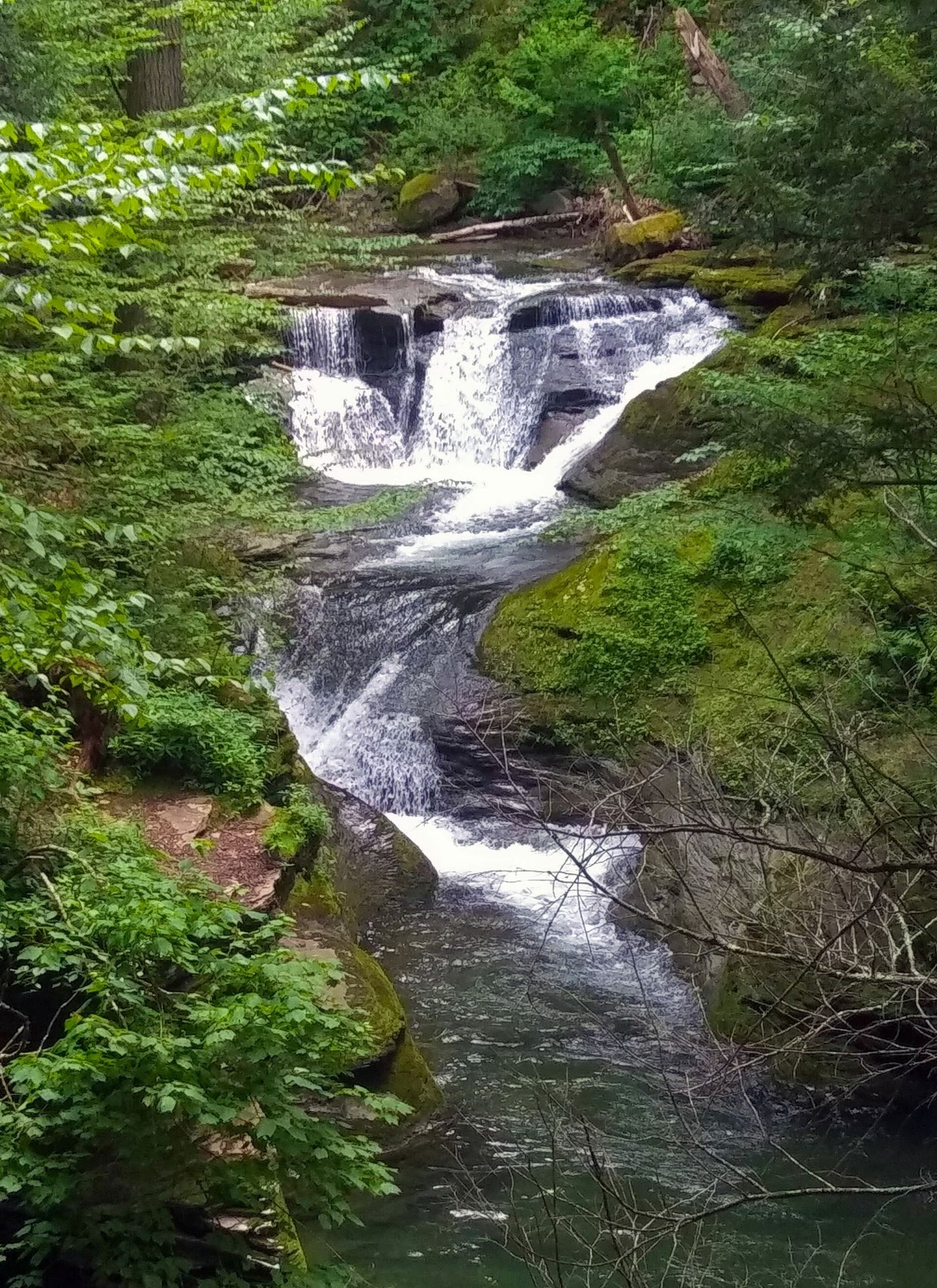
Location map; no photo available.

Short gorge trail from public fishing access parking

New York

Norton’s Falls

Short zig-zag trail; NYFalls lists about 15 minutes for the visit and gives no distance

Norton's Falls is a roughly 50-foot falls where Norton's Creek drops out of a tunnel in the Genesee Gorge cliff, inside Seneca Park in Rochester. NYFalls says a zig-zagging trail down the gorge passes the falls half-way down. Flow is usually low and can be very weak in dry weather; spring and heavy rain give the best flow. NYFalls notes litter along the falls at times.

Location map; no photo available.

Marked Forest Preserve trail to a cliffside overlook

New York

OK Slip Falls

About 3 miles to the overlook; 6 miles round trip

OK Slip Falls is a 250-foot falls in the Hudson Gorge Wilderness, viewed from a cliffside overlook across the gorge. From the parking area, walk west along the NY 28 shoulder to the trailhead on the north side. About a half mile in, turn right at the signed junction onto the OK Slip Falls trail. At the dirt camp road, turn left, walk about 250 feet, and turn right back into the woods at the sign. The trail then switchbacks down to the overlook. Return the same way. The informal path from the overlook down into the gorge is closed.

Location map; no photo available.

Partial guide: view from the footbridge documented; walking distance from the parking area not given

New York

Old Mill Falls

Short; distance from the parking area not given

Old Mill Falls is a two-step drop of 15 to 16 feet on Plattekill Creek, the first of the many falls in Platte Clove. It is just below the Overlook Bridge, a King Post style footbridge that marks the start of the old Overlook Mountain carriage road, beside Platte Clove Road. The land along the road here is the Catskill Center Platte Clove Preserve, not state land. Catskill Mountaineer says the falls can easily be seen from the bridge. Stay away from the top of Plattekill Falls just downstream: the owner does not want people there, and people have died in this clove.

Location map; no photo available.

Seasonal hydro company overlook trail; flow controlled by the plant

New York

Palmer Falls

About a third of a mile to the overlook

Palmer Falls is a falls of about 70 feet on the Hudson River below a hydro dam. It faces north and is seen from the east side of the river. From the Call Street lot, follow the dirt trail south past the barrier, through an open area under power lines, and keep left at the fork to the overlook. The view of the dam and falls is distant. Return the same way. The trail and land belong to the hydro operator.

Location map; no photo available.

Partial guide: no designated trail; off-trail stream walk and the park advises staying on trails

New York

Peter's Kill Falls

Scenes From The Trail gives about 3.5 miles for a loop that includes this falls; much of it is off trail

Peter's Kill Falls is a chute and cascade of about 53 feet beside the ruins of a hydroelectric power house on the Peter's Kill in Minnewaska State Park Preserve. There is no designated trail to it. Scenes From The Trail describes taking the red-blazed Red Loop Footpath from the Peter's Kill Area lot to the stream, then walking upstream on rock slabs and faint paths with several stream crossings. A MidAtlantic Daytrips account says a park employee advised that Peterskill Falls is not on the park's hiking trails and recommended staying on the trails. Some sources apply the name Peter's Kill Falls to nearby Sheldon Falls.

Location map; no photo available.

Partial guide: public city park; walking route to the falls not described

New York

Piscawen Falls

Not described

Piscawen Falls is on the Piscawen Kill in Frear Park, a 247-acre City of Troy park with nature trails. Adirondack Sports says the falls can be reached by Frear Park Road above Bradley Lake. A guided Hudson River Valley Ramble hike passed the old Troy water reservoirs, a beaver pond and the waterfalls on the Piscawen Creek. No source describes the path from parking to the falls, so the exact approach is unknown.

Location map; no photo available.

Short preserve trail; dangerous drop-off at Hell's Hole

New York

Plattekill Falls

About 1/4 mile one way from Platte Clove Road

Plattekill Falls is a plunge of about 60 to 70 feet near the top of Platte Clove, on Catskill Center land in the Platte Clove Preserve. Park at the DEC lot on a short dirt spur off the north side of Platte Clove Road, the same lot used for Huckleberry Point. Walk back down the road toward Tannersville to the Preserve trailhead kiosk by the Little Red House. Walk down the driveway, stay left, and follow the short, steep trail to the base of the falls. Return the same way.

Location map; no photo available.

Preserve trail to a rim view of the falls; seasonal opening

New York

Pocket Falls

The full three-trail loop is about 1.8 miles; no separate distance to the falls view is given

Pocket Falls is a 35-foot waterfall in Shurger Glen, the gorge of Gulf Creek, inside Cornell Botanic Gardens' 84-acre Edwards Lake Cliffs Preserve on the east shore of Cayuga Lake. Start at the end of Teeter Road in Lansing (Teeter Road is off Lake Shore Circle, off Lake Shore Drive). The preserve has three trails marked with red, blue and yellow blazes. The blue Pocket Falls Trail leads to a view of the falls from the forested rim of the glen; the yellow Lake View Trail goes to the lake cliffs. The view is from above, not from the base.

Location map; no photo available.

Town park trail to a viewing area above the falls

New York

Postcard Falls

About 200 yards to the tunnel and trailhead, then a short way along the Perimeter Trail

Postcard Falls is a low, wide limestone cascade, about 6 to 8 feet high, on Allen Creek in Corbett's Glen Nature Park, a Town of Brighton park. From the Glen Road parking, walk down the road and through the historic railroad tunnel; a small falls drops on the far side. Follow the creek downstream to the park sign and wooden stairs, then take the Perimeter Trail. Shortly along, the fence opens and a side path on the right leads to a seating area overlooking Postcard Falls. Trees partly block the view. Return the same way or continue around the Perimeter Trail loop.

Location map; no photo available.

City natural area; unmarked trail past the dams

New York

Potter's Falls

About 2.2 miles one way

Potter's Falls, also called Green Tree Falls, is a 25-foot cascade on Six Mile Creek below a 100-foot cliff, in the Six Mile Creek Natural Area south of Ithaca. From the Mulholland Wildflower Preserve lot, cross either footbridge to the south and follow the blue-marked trail with the creek on your right. Stay right at the 0.45-mile fork. At about 0.66 miles a side path drops to the creek and the 8-foot and 30-foot dams. Back at that junction, take the right trail up, make a sharp right at 0.8 miles, and reach the top of the larger dam at about 1 mile. Past the dams the path is unmarked: cross the open area, keep the creek down on your right, pass a swampy area and a gully, and descend. At a fork near the falls, go left for a view from above or right to the creek below the pool.

Location map; no photo available.

County park; short stepped trail to the falls viewing area

New York

Pratts Falls

Less than a quarter mile down and back

Pratt's Falls is a 137-foot ribbon cascade on Limestone Creek in Pratt's Falls Park, an Onondaga County park. Park in the lot to the right of the main entrance, close to the restroom building. A view from above is behind the restroom building, and the crest of the falls has history signs about the 1796 sawmill. For the best view, start at the Falls Trail sign near the parking area; within a few feet, take the left branch and go down the steps directly to the viewing area. The right branch makes the full loop.

Location map; no photo available.

Easement trail on private reserve land; free parking reservation required in season

New York

Pyramid Brook Falls

No distance in miles is published; Northern New York Waterfalls lists the hike length as 1:20 one way

Pyramid Falls is a small ribbon slide of about 35 feet on Pyramid Brook inside the Adirondack Mountain Reserve (AMR), private land open to hikers under a state conservation easement. Northern New York Waterfalls says it is the first stop on the West River Trail: turn right at the guard house, cross the river and head upstream; 2000 feet past the Cathedral Rocks junction you cross Pyramid Brook, and a sign points right to Pyramid Falls. The brook carries little water. AMR rules require hikers to stay on marked trails; dogs, swimming and fishing are not allowed.
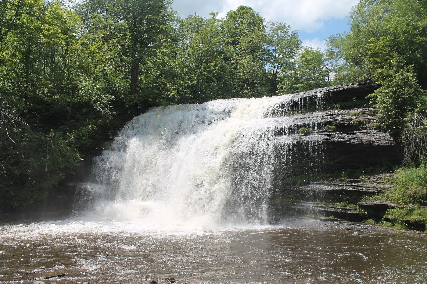
Location map; no photo available.

Private reserve open by easement; reservation May to October; 8.5 miles return

New York

Rainbow Falls

About 8.5 miles return

Rainbow Falls is a 150-foot waterfall on Cascade Brook near Lower Ausable Lake, on private Adirondack Mountain Reserve land open to hikers through a conservation easement. From the AMR lot, follow a dirt road to a paved road by the golf course. At 0.5 miles turn left between the tennis courts onto Lake Road and sign in at the gate. Walk the dirt Lake Road a bit over 3 miles to the dam at Lower Ausable Lake. Cross the bridge below the dam and follow signs to Rainbow Falls through a deep, steep-sided canyon to the base. Return the same way.

Location map; no photo available.

Rim trail to a marked, distant viewing point

New York

Rainbow Falls

About 0.55 miles one way

Rainbow Falls is a tall ribbon cascade on the Gulf Stream in the Tug Hill region of Lewis County. From US 11 and NY 177 in Adams Center, drive east on NY 177 for about ten miles and turn left onto the dirt Old State Road (locally called Williams Truck Road). In less than a mile, park in the area on the right, just beyond a pond; if you reach the Jefferson County line you have gone too far. Walk a quarter mile to a junction, turn right, and continue about 0.3 miles along the rim of the gulf to a marked viewing point. The view is distant, and leaves block much of it in summer.

Location map; no photo available.

State park carriage road and footpath; seasonal flow

New York

Rainbow Falls

About five miles out and back from the Lake Minnewaska visitor center

Rainbow Falls drops from overhanging rock ledges near Lake Awosting in Minnewaska State Park Preserve. A MidAtlantic Daytrips account followed the Upper Awosting Carriage Road from the visitor center, saw the falls from a clearing about 2 miles out, then took the orange-blazed Rainbow Falls Footpath down to the base, with a few rock-hop stream crossings. Scenes From The Trail notes the falls can be dry in the summer months. Swimming is not permitted at the park's waterfalls.

Location map; no photo available.

Short state land trail from Tooley Pond Road

New York

Rainbow Falls

About 0.3 mile to the falls

Rainbow Falls is a 25 to 35 foot falls on the South Branch of the Grass River, on DEC state land in the Grass River Wild Forest. The trail starts at large boulders beside Tooley Pond Road, follows an old tote road, and crosses a deep side channel on a footbridge to an island. It ends at the edge of the gorge just below the falls. CNY Hiking says the best view is from a ledge about 75 feet downstream on the island. The gorge makes the base extremely difficult or impossible to reach. Return the same way.

Location map; no photo available.

Wilderness trail and trailhead documented

New York

Raquette Falls

About 4.3 to 4.4 miles one way

Raquette Falls is a two-part drop on the Raquette River in the High Peaks Wilderness: a two-foot ledge, then a six-foot horseshoe drop about 20 feet downstream. Take Coreys Road south from NY 3 between Tupper Lake and Saranac Lake, keep left at the split to avoid Axton Landing, and park in the lot on the right about 0.2 mile after crossing Stoney Creek. The trail starts at the back of the lot behind the register kiosk and is well signed. Just beyond four miles you reach a clearing with a barn-type building and a ranger residence. Continue past the sign for Lower Falls and follow the trail along the river about 0.1 mile more to Raquette Falls. Return the same way.

Location map; no photo available.

Free nature preserve; short walk to the lower footbridge

New York

Rensselaerville Lower Falls

About 0.1 mile one way to the lower footbridge

The lower falls is the bottom tier of Rensselaerville Falls on Tenmile Creek in the Edmund Niles Huyck Preserve. The lower 35 feet form a staircase cascade that slides under the lower footbridge. Just before the stone bridge over Tenmile Creek in Rensselaerville, turn at the small white E. N. Huyck Preserve sign and follow the gravel lane to the kiosk. From the lot, follow the Falls Trail along the creek flats to a narrow wooden footbridge with a head-on view of the lower cascade. Cross the bridge to see mill ruins and continue to the middle and upper overlooks if you like.

Location map; no photo available.

Preserve trail to the middle falls viewing area

New York

Rensselaerville Middle Falls

About a tenth of a mile to the footbridge at the base of the falls, then a short climb on the Middle Falls Trail

Rensselaerville Falls drops about 120 feet in three tiers on Tenmile Creek in the E.N. Huyck Preserve. Park in the small lot behind the white building at the Visitors' Center, 5052 Delaware Turnpike; the entrance is next to the bridge over Tenmile Creek and looks like a gravel driveway. Walk past the kiosk on the only trail from the lot, about a tenth of a mile to a narrow wooden footbridge with a view of the lower falls. Cross the bridge, pass the ruins of the Huyck felt mill, and turn right onto the Middle Falls Trail. It climbs a short way to a rock viewing area that shows the upper two-thirds of the falls, with the lower falls behind you. A slip here could send you over the edge. Return the same way, or continue on the Upper Falls Trail to the bridge at the top of the falls.

Location map; no photo available.

Preserve trail to an upper viewing platform; free, dawn to dusk

New York

Rensselaerville Upper Falls

About half a mile one way

Rensselaerville Falls drops about 120 feet in three tiers on Tenmile Creek in the Edmund Niles Huyck Preserve. Uncovering New York describes walking about a tenth of a mile to a narrow footbridge below the falls, then taking the Upper Falls Trail straight ahead past the felt mill ruins. The trail is wide and a bit steep. It crosses another narrow bridge just above the crest, with a small dam to the left and a viewing platform down a few steps to the right. The Huyck Preserve prohibits swimming and climbing at the falls and asks visitors to stay on trails.

Location map; no photo available.

Partial guide: short public creek walk; larger falls on private land; exact drop uncertain

New York

Reynolds Gully Falls

About 800 feet of creek walking on public land

Reynolds Gully, also called Hemlock Falls, enters the southeast end of Hemlock Lake in Springwater. NYFalls describes a creek walk with no trail up the public part of the gully past small cascades and two small falls of about 3 and 6 feet to a two-step 9-foot cascade at a sign marking the end of public land. The larger falls upstream are on posted private land; the landowner prosecutes trespassers. Turn around at the sign. Which drop this listing marks is not certain.

Location map; no photo available.

Short trail to the base from Route 73; limited parking

New York

Roaring Brook Falls

0.8 miles total to the base; 1.2 miles total to the top

Roaring Brook Falls drops about 290 feet off the side of Giant Mountain and can be seen from Route 73 between Chapel Pond and St. Huberts. From the small trailhead lot, follow the marked, fairly flat trail along the brook to the base. A short scramble over stones leads to the final view. For the top of the falls, take the junction where the Giant Mountain trail begins its climb; Pure Adirondacks says it is about 0.5 miles up a steep section to the top. Return the same way.

Location map; no photo available.

View from the Bridge Street bridge; street parking

New York

Rockwell Falls

About one minute from street parking to the bridge

Rockwell Falls is a wide drop of about ten feet on the Hudson River between the villages of Lake Luzerne and Hadley. From NY 9N in Lake Luzerne, north of the Hudson River bridge, turn west onto Bay Road, then left onto Bridge Street. Park on the street before the bridge and walk onto the bridge; the falls are just upstream. The horseshoe shape is on the right bank (facing downstream). In high water the whole river width is covered; in late summer the left bank (facing downstream) side can be almost dry.

Location map; no photo available.

Marked trail from the Adirondak Loj lot; parking fee

New York

Rocky Falls

About 2 1/4 miles one way

Rocky Falls is a small plunge of about 6 feet on Indian Pass Brook. Northern New York Waterfalls describes taking the Indian Pass Trail from the Adirondak Loj parking lot, past the front of the entrance booth and along the shore of Heart Lake. About 2 miles along, a side trail leads to Indian Pass Brook; turn left and follow the path upstream to the base of the falls. The setting is quiet and picturesque, and the drop is small.

Location map; no photo available.

Campus gorge view from a pedestrian bridge

New York

Rocky Falls

Short walk from the lot to the suspension bridge

Rocky Falls is the widest falls in Fall Creek Gorge on the Cornell University campus in Ithaca, beside the university's small hydroelectric plant. Waterfall Hero gives its height as 55 feet; NYFalls gives just under 30 feet. From the lot off Fall Creek Drive, walk onto the pedestrian suspension bridge; Rocky Falls is upstream, poking out past the power plant, with Horseshoe Falls right below. NYFalls also describes a side path off the red-blazed south rim trail that leads down into the gorge for a closer view; it closes in winter and when flooding is likely. Return the same way.

Location map; no photo available.

County park trail to the top of the falls; summer season

New York

Royalton Falls

About 4/5 mile one way

Royalton Falls, also called Nortons Falls, is a sloping cascade of about 15 feet on the East Branch of Eighteenmile Creek in Royalton Ravine County Park. From the lot, take the gravel path west past the fishing pond to the tree line and the orange trail. Turn right at the first T. Just before a quarter mile, turn left at the next T, pass a blue trail, and descend wooden stairs to the creek. At about a third of a mile, cross the plank and cable bridge and keep on the orange trail with the creek on your left, past homestead ruins, to the top of the falls. The trail only reaches the top; NYFalls describes walking up the creek bed to the base as an option.

Location map; no photo available.

Short woods-road walk and path from the DEC lot

New York

Russell Brook Falls

About 0.3 miles

Russell Brook Falls is a two-tier waterfall in the Delaware Wild Forest near Livingston Manor. From Route 206, take Morton Hill Road, bear left to stay on it, and drive 3.1 miles to Russell Brook Road on the left; then drive half a mile to the lower parking area. Walk down the road and turn right just past the kiosk (sign the register). Follow the wide woods road to the bridge over Russell Brook, cross it, and take the first path on the right. Follow the paths along the stream to a viewpoint over the falls. You can work down the bank to the stream bed for a head-on view, but the path is steep and slippery. On the way back, a path on the right climbs a short hill to a view of the upper falls.

Location map; no photo available.

Partial guide: view of the top only from the Red Trail; base route not described

New York

Rynex Kill Falls

Within about 0.6 miles of the lot

Rynex Kill Falls, also called Rynex Creek Falls, is a 40-foot falls on Rynex Creek where it enters the Plotter Kill in the Plotter Kill Preserve, Rotterdam. From the Mariaville Road lot, follow the Red Trail along the rim past the tops of Upper and Lower Falls; the trail then pulls away from the creek and descends toward Rynex Creek. Only the top of the falls can be seen from the Red Trail. One visitor account calls the main falls very tough to reach and deadly on a wet slope. No described route reaches the base. Return the same way.

Location map; no photo available.

Town campground falls; free to view

New York

Saint Regis Falls

About 3 minutes

St. Regis Falls is a curtain cascade of about 30 feet on the St. Regis River, inside the St. Regis Falls Scenic Campsite run by the Town of Waverly. The campground entrance is on NY 458 just past the bridge over the river when coming from Potsdam. Park near the entrance and walk behind the office to an overlook beside the crest, or walk along the bank for closer views. For a more distant, open view, go down the hill and take the first left past the St. Regis Pavilion to a footbridge.

Location map; no photo available.

DEC accessible trail to the falls overlooks; gorge trail seasonal

New York

Salmon River Falls

0.2 mile one way to the overlooks

Salmon River Falls drops about 110 feet into a gorge in the Salmon River Falls Unique Area, east of Pulaski. From Orwell, drive south on County Route 22 and turn left onto Falls Road; the area is signed. From the parking area, the smooth gravel Falls Trail leads less than 0.2 mile to overlooks of the falls. Partway along, the 600-foot Gorge Trail drops on steps to the bottom of the gorge; it is steep and demanding. The River Bed Trail goes down stairs to the riverbed above the falls. Stay at least 15 feet from the falls edge and all cliff edges; people have died here.

Location map; no photo available.

Partial guide: park overlook of the dam at the old falls; parking not described

New York

Saratoga Falls

Roadside park overlook; no walk is described

Saratoga Falls was a set of Hudson River rapids north of Schuylerville. A timber dam was built at the falls in 1822 and replaced in stone in 1869; today the Northumberland Dam stands at the site. Saratoga Falls Park, a small park on Route 4N, overlooks the dam, where excess water spills over and continues down the natural river course. The original falls are no longer visible as natural rapids. No source describes parking or paths at the park.

Location map; no photo available.

Partial guide: roadside bridge view; land beside the falls is posted and parking is not described

New York

Schalks Falls

Roadside view; no walk

Schalk's Falls is a 17-foot falls on Plattekill Creek near the base of Platte Clove in West Saugerties, below the point where the seasonal Platte Clove Road starts its climb west up the clove. The land on both sides of the falls is posted. American Catskills says good views can still be had from the roadside on the bridge just downstream. View the falls from the bridge only and do not enter the posted land. The road name at the bridge and a place to park are not given.

Location map; no photo available.

Partial guide: shoulder parking and a bank beside posted private land; public status of the bank is not stated

New York

Schroon Falls

Under 0.1 mile, about 1 minute

Schroon Falls is a very small curtain cascade, only about 2 feet high, on the Schroon River almost directly under the US 9 bridge between Schroon Lake and North Hudson. Northern New York Waterfalls says it cannot be seen from the road; you reach the river bank beside the bridge. The same source reports Posted signs a few dozen feet inland on the south bank and keeps to the rocks by the bridge support. The roads on the southwest side of the bridge are labeled private.

Location map; no photo available.

Partial guide: probable match to Tenant Creek 2nd Falls; herd path beyond the first falls

New York

second falls

About 2.0 to 2.1 miles one way

Tenant Creek has three falls on a trail off Hope Falls Road in the town of Hope. From Northville, take NY 30 north, turn right on Old Northville Road, then left on Hope Falls Road in 1.4 miles, and drive about seven miles (the last mile unpaved) to a parking area on the right. The trail leaves the back of the lot past a register to the 40-foot first falls at 0.9 mile. Climb the hill to the right of the first falls (left bank, facing downstream) and continue upstream about 1.1 miles to the 2nd Falls, a two-part drop of about 20 feet; the 3rd Falls is about 0.1 mile beyond. Return the same way. This listing is named only "second falls"; it is placed upstream of the first falls on Tenant Creek but its exact match to the 2nd Falls is not confirmed.

Location map; no photo available.

Partial guide: no designated trail; informal streamside route and a stream crossing

New York

Sheldon Falls

Distance not given for the off-trail section

Sheldon Falls is a large cascade on the Peters Kill in Minnewaska State Park Preserve, beside the ruins of an old hydroelectric power house and the smaller Peters Kill Falls. There is no designated trail to these falls; park planning notes a web of social trails here. Visitor accounts start at the Peter's Kill Area parking on Route 44/55: take the red-blazed Red Loop Footpath from the western end of the lower lot down to the Peters Kill. Where the Red Loop reaches the stream and turns right, leave the marked trail and go upstream along faint paths and rock slabs, past smaller falls, to the power house. Peters Kill Falls is on the left and the larger Sheldon Falls on the right; one account crossed the stream for a close view, which is harder in high water. Return the same way.
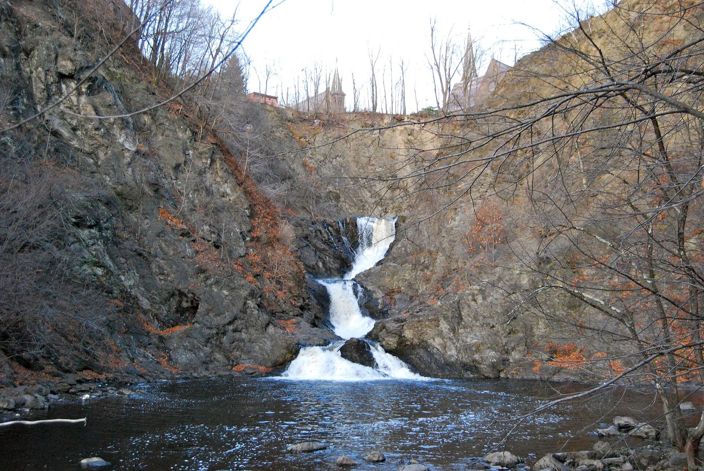
Location map; no photo available.

State land; short trail from Lake George Road near the Tooley Pond Road parking area

New York

Sinclair Falls

About 100 yards

Sinclair Falls is a ten-foot cascade on the South Branch of the Grass River, one of eight well-known falls along Tooley Pond Road, on DEC state land open to the public. The north end of Tooley Pond Road is less than 1,000 feet from the junction of County Routes 17 and 27 in Degrasse; follow CR 27 northeast, turn right onto Tooley Pond Road, and drive about two miles to a parking area with a register. Rather than taking the direct path from the register, walk up the road to the Lake George Road junction, which is in sight; the trail starts a short way down Lake George Road, and the falls sign points that way. The falls are within sight of the road.

Location map; no photo available.

Preserve loop trail with rim views; limited parking

New York

Sliding Rock Falls

About 0.5 to 0.6 mile to the first view from the rim

Sliding Rock Falls is a steep 30-foot cascade on Hannacrois Creek in the Hannacroix Ravine Preserve west of Clarksville. NYFalls says to follow the orange blazes south from the Cass Hill Road lot, gently uphill to the top of the ravine; the falls may be seen through the trees, with a more open view about 300 feet farther. The trail does not go into the ravine. In full leaf there may be no view, so early spring, late fall or winter melt are best. A close view requires a difficult, slippery creek walk from the southern stream crossing.

Location map; no photo available.

Roadside state land viewpoint with a short path

New York

Split Rock Falls

About 0.1 mile, 2 minutes

Split Rock Falls is a series of drops totaling about 35 feet on the Boquet River beside US 9 between NY 73 and New Russia. Northern New York Waterfalls says a chain link fence in the center of the parking area marks a viewing spot near the top of the falls, and openings in the wooden guard rail at the north end of the lot lead to an obvious trail with closer views. The land was formerly private and was given to the state in 1982. There are no railings along the trail.

Location map; no photo available.

State park trail with steps and footbridges; parking on Shaft 2A Road

New York

Stony Kill Falls

About 1.45 to 1.8 miles round trip from the gate on Shaft 2A Road

Stony Kill Falls is an 87 to 90-foot waterfall on the Stony Kill in the southwest part of Minnewaska State Park Preserve. From Route 44/55, about 4.3 miles past the main Minnewaska entrance, turn left onto Minnewaska Trail, then immediately left onto Rock Haven Road; in about two miles turn left onto Shaft 2A Road and follow it to its end. Park in the parking area (a former gravel pit) past the gate, or at the gate without blocking it. The red-blazed Stony Kill Falls Trail starts at the southern end of the parking area. It passes the fenced Delaware Aqueduct shaft and the old quarry, then follows the creek upstream on a built trail with two footbridges and stone steps through a boulder field, with a steep section up to the upper falls. Return the same way.

Location map; no photo available.

Partial guide: short trail in a housing development; manager and parking status not stated

New York

Swatling Falls

A few minutes to the view above the falls; about 1 mile for the visitor's full walk

Swatling Falls is on McDonald Creek along the Swatling Falls Nature Trail, a short trail within a housing development in the Town of Halfmoon. From the lot, take the main trail to the right along a rough road into the woods; the falls are seen from above. Walking Man found it hard to get a good view from below. Trail markers continue uphill to a dead end on a small bluff. A paved second trail runs behind the houses and loops back to Swatling Road. No source says who manages the trail or the parking area.

Location map; no photo available.

Final waterfall approach unconfirmed

New York

T Lake Falls

3.7 miles each way to T Lake, with additional travel to the falls

DEC documents the T Lake approach and parking. The local Arietta hiking guide describes a difficult continuation to T Lake Falls and explicitly asks visitors to confirm that it is accessible with DEC.

Location map; no photo available.

Partial guide: city park trails; the waterfall's exact spot and the path to it are not described

New York

The Falls

Short park walk; no distance is published

Seton Falls Park is a NYC Parks nature area in the northeast Bronx named for waterfalls built by the Seton family on their 19th-century estate. NYC Parks says a man-made waterfall flows from the west side of the park and visitors can walk along the water through the woods. Trails and boardwalks were rebuilt in 2007. NYC Parks does not name the waterfall or give a route to it, so the exact spot of this listing within the park is uncertain.

Location map; no photo available.

Short Wild Forest path from the Flume trailhead lot

New York

The Flume Fall

About a third of a mile round trip

The Flume Fall, signed as Wilmington Flume, is a series of drops of about 50 feet in all on the West Branch Ausable River in the Wilmington Wild Forest, downstream of High Falls Gorge. From the Flume Trail System lot, cross NY 86 with great care and walk over the bridge; the upper drops are visible from the bridge. On the far side, follow the obvious unmarked trail downhill and take faint side paths left to the river for views of the plunge and cascades below the bridge. Return the same way.

Location map; no photo available.

Roadside view in the Delaware Wild Forest; no road shoulder

New York

Tompkins Falls

Roadside; a few steps to a short path down to the stream

Tompkins Falls is a roughly 20-foot waterfall in three drops on Barkaboom Stream in the Delaware Wild Forest, about two miles from Pepacton Reservoir. Uncovering New York says it sits directly along Barkaboom Road and can be seen from the car. Only the roadway gives a full view of the two main drops. Barkaboom Road has no shoulder, so watch for cars if you stand on it. Short user-created paths lead over the guardrail to stream level between the two largest drops, beside old mill stonework.

Location map; no photo available.

Short signed path on DEC state land from roadside parking

New York

Twin Falls

About 0.1 mile (DEC trailhead sign); the source lists 300 feet

Twin Falls is a pair of drops on the South Branch of the Grass River where an island splits the channel; the southern drop is about 55 feet and nearly 100 feet wide. Northern New York Waterfalls says it is on DEC maintained state land along Tooley Pond Road. The smaller falls can be seen from the road. DEC laid stones across a small channel so you can cross to the island and walk around it to the larger cascade. A dirt road just before the falls leads to private posted land; do not use it.

Location map; no photo available.

Partial guide: preserve trail to falls on YMCA land; exact parking spot not described

New York

Uncas Falls

About 0.3 mile to the kiosk, then about a mile of preserve trail

Uncas Falls is a small falls on Silver Bay YMCA land in Hague, reached through the Lake George Land Conservancy Terzian Woodlot Preserve. Enter at the old DEC trailhead post on NY 9N, cross the field and follow the dirt road to the preserve kiosk. The trail climbs over a knoll, crosses two streams, turns left onto a logging road, and climbs gradually about 0.75 miles across the boundary onto Silver Bay land before descending to Uncas Falls. Trails beyond Uncas Falls are for Silver Bay YMCA members only. Return the same way.

Location map; no photo available.

Partial guide: informal urban trail; which falls carries the name Upper Burden Falls is not settled

New York

Upper Burden Falls

About half a mile one way to the upper falls

The Wynants Kill drops through a small gorge above Burden Pond in South Troy, once the water source for the Burden Iron Company. A Walking Man 24 7 account follows an easy trail east along the pond and creek past powerhouse ruins, a first set of cascades and an 8-foot main falls, ending at the upper falls and an old pipeline where the property ends. That account does not use the name Upper Burden Falls, and other listings disagree on which falls is upper and which is lower, so the match to this listing is probable. The source advises visiting with a friend because it is an urban area.

Location map; no photo available.

Accessible DEC boardwalk to a falls platform; stairs to the base

New York

Upper Carpenter Falls

About 600 feet on the boardwalk to the viewing platform

Upper Carpenter Falls is on Bear Swamp Creek in the DEC Carpenter Falls Unique Area near Skaneateles Lake, Town of Niles. From the parking area, follow the wheelchair-accessible elevated boardwalk west to an observation platform overlooking the falls. Near the platform, stone stairs lead down the steep ravine to a viewing area at the base of the upper falls. Return the same way. A 0.59-mile trail continues downstream to the lower falls and connects to the Bahar Preserve.

Location map; no photo available.

State park overlook near the Portageville entrance; vehicle fee

New York

Upper Falls

A minute or two from the Upper Falls parking lot

Upper Falls is the first of the three main Genesee River waterfalls in Letchworth State Park, flowing directly under the railroad bridge. Enter at the Portageville entrance, which State Parks lists for the Middle and Upper Falls area, and follow signs for Upper Falls. The lot on the right as you face the river is closer to Upper Falls. From there it is a minute or two on foot to the overlook. You can continue on the Gorge Trail along the river to Middle Falls.

Location map; no photo available.

Long public trail along the Raquette River

New York

Upper Falls

4.8 miles one way

Upper Falls is an 8-foot curtain cascade on the Raquette River, the third of three falls along the trail from Coreys Road. Northern New York Waterfalls says to follow the trail from the back of the Coreys Road parking lot behind the registration kiosk to Raquette Falls, then continue about 1/2 mile along the river through near-continuous rapids. The last few hundred feet are rougher, with ups and downs over rocks, and reaching river level at the falls is a scramble.

Location map; no photo available.

Partial guide: which upper cascade this listing marks is not established; closed during ski season

New York

Upper Stag Brook Falls

About 1.2 miles return for the whole trail

Stag Brook tumbles down the base of Whiteface Mountain in a series of falls and cascades. Park in the main lot at the Whiteface Mountain Ski Center and walk the road toward the Main Lodge. After the bridge, pass to the left of the secondary building and walk up the gravel road onto a ski trail; the Stag Brook Falls trail starts at the top of the gravel road. The largest falls is a short way up. The trail keeps climbing on the left side of the brook, crosses a road, and passes smaller falls and pools before ending on the ski slopes. This listing marks one of the upper cascades; which one is not established. Return the same way.

Location map; no photo available.

Partial guide: marked DEC trail to the main falls; the exact drop this listing marks is uncertain

New York

Vernooy Kill Falls

1.78 miles each way

Vernooy Kill Falls drops about 50 to 60 feet over a series of sandstone ledges and pools in the DEC Sundown Wild Forest, Town of Rochester. From the Upper Cherrytown Road lot, cross the road to the trail, which first climbs a steep hill on an old woods road, crosses two creeks, and continues to a wooden footbridge over the Vernooy Kill in the middle of the falls. A stone wall from an old mill stands beside the stream below the falls. Return the same way. This guide leads to the main falls; whether this listing marks a different drop nearer the road is not known.

Location map; no photo available.

Forest Preserve trail past Poet's Ledge; about 3.7 miles one way

New York

Viola Falls

About 3.7 miles one way

Viola Falls is a plunge of about 36 feet in Hillyer Ravine on the south rim of Kaaterskill Clove. From the Harding Road Parking Area, walk west on NY 23A to Malden Avenue and follow the trail past the barriers. Look for the Long Path marker and walk up the dirt driveway past a metal gate; the first part of the route crosses private land on the marked trail before reaching state land. Climb the escarpment past views to the junction at mile 2.63, go right on the yellow trail to Poet's Ledge at mile 3.07, and continue to the top of Viola Falls at mile 3.74. The trail runs across the top of the falls. Return the same way.

Location map; no photo available.

Long public trail; stream ford at the falls

New York

Wanika Falls

Close to 7 miles one way

Wanika Falls is a multi-part drop on the Chubb River on the Northville-Placid Trail south of Lake Placid. Northern New York Waterfalls says the hike follows the Northville-Placid Trail for close to seven miles and that you must ford the stream to see the falls. The ford is easy in low water and may be difficult in high water. The description of the falls is based on contributed photos.
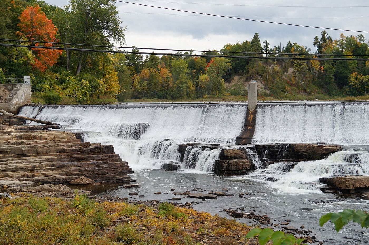
Location map; no photo available.

Creek-bed route from the village park; private land outside the creek

New York

Warsaw Waterfall

About 0.8 to 1 mile each way in the creek

Warsaw Falls is an 80-foot falls on Stony Creek in a wooded gorge below Warsaw Village Park. Park at the far southwest end of the park near the sledding hill. Follow the path up the hill to a T-intersection, go left toward the creek, and climb steeply down into it. Walk upstream in the creek bed to the base of the falls; there is no maintained trail. Wyoming County Tourism says the creek bed from the park is the only legal way to the falls; the land outside the creek bed is private. Do not approach from above. Return the same way.

Location map; no photo available.

Private reserve open by easement; reservation May to October

New York

Wedge Brook Cascades

About 2 miles from the Lake Road gate, which is 0.5 miles from the lot

Wedge Brook Cascades is an estimated 100-foot slide and three-part cascade on Wedge Brook, on private Adirondack Mountain Reserve land open to hikers through an easement. From the AMR lot, walk through the Ausable Club grounds to the Lake Road gate and sign in. About a quarter mile past the gate, turn right on the East River Trail, cross the bridge over the East Branch of the Ausable River, and bear left on the West River Trail. At 2.0 miles from the gate, turn right on the Wedge Brook Trail. Wedge Brook Falls is at the footbridge; a sign there says the cascades are 200 yards above, up a steep scramble. Return the same way.

Location map; no photo available.

DEC trail crosses the top of the falls; base access dangerous

New York

Wildcat Falls

About 4 miles one way

Wildcat Falls is a single 102-foot plunge in the Wildcat ravine on the west side of Kaaterskill Creek, on New York State land in Kaaterskill Clove. The DEC trail runs across the top of the falls, which is easy to reach and a good lunch stop. Drive Route 23A west through Palenville. You cannot park at the trailhead: park just before the bridge (westbound side), a quarter mile past the bridge, or in the DEC lot four tenths of a mile before the bridge. Do not park by the red building next to the bridge or on Malden Avenue, and do not drive up the private dirt road to the trailhead. Follow the DEC trail about 4 miles to the crossing at the top of the falls. The crossing is safe only in low or moderate water. Getting to the base is very dangerous and needs ropes and a harness.
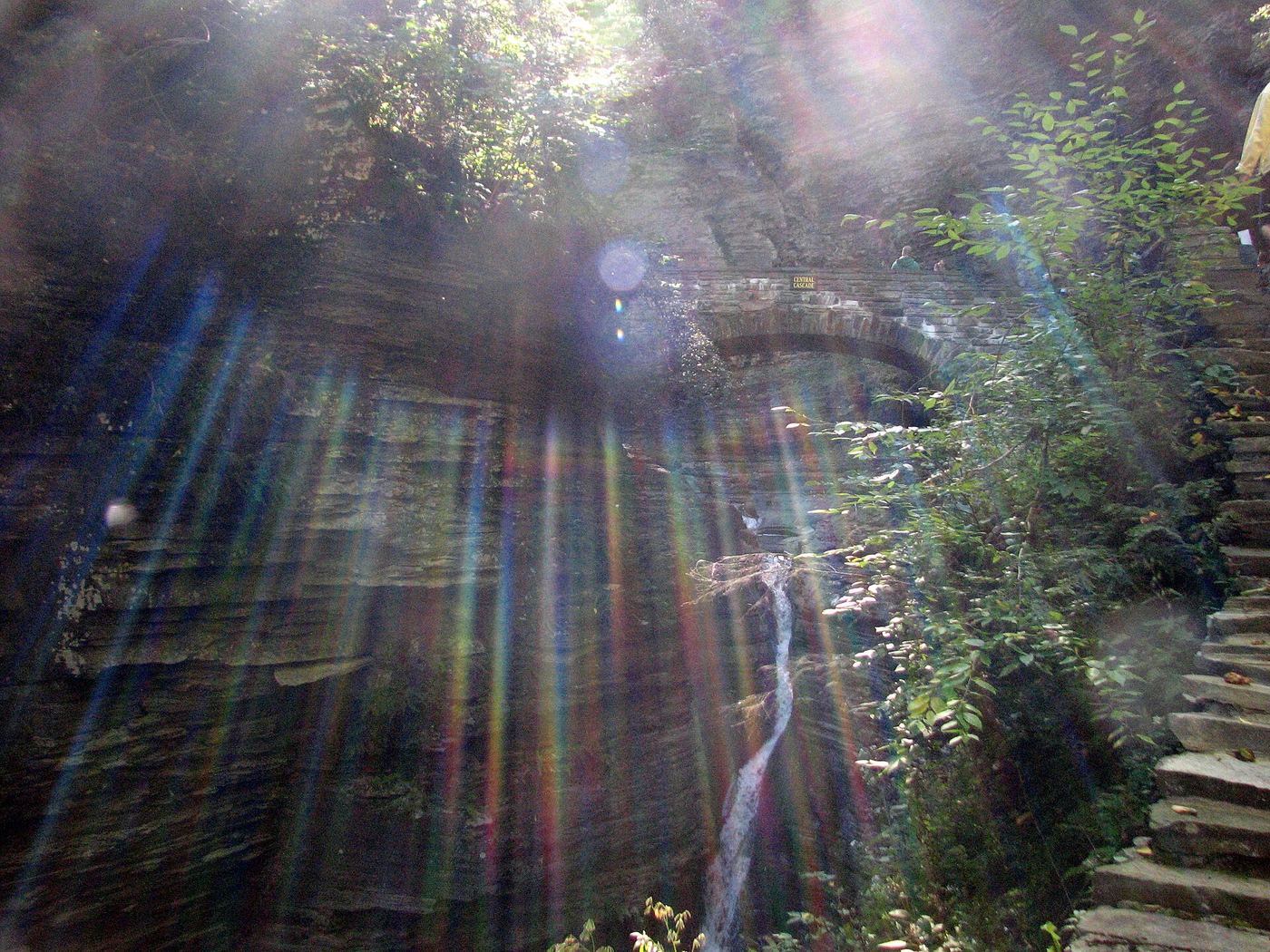
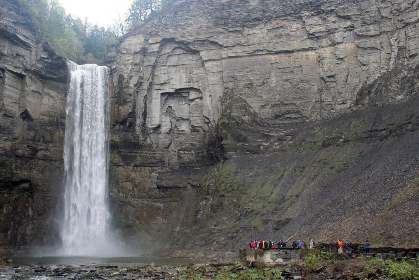
Location map; no photo available.

Partial guide: approach crosses inn land; current permission unknown

New York

Winter Clove falls

About 2 miles one way

Winter Clove Falls is a 126-foot set of plunges and cascades on Kiskatom Brook at the base of the Eastern Escarpment, on state land. The trails start on private land owned by the Winter Clove Inn in Round Top. Catskill Mountaineer says to go to the inn's front desk, ask permission, and follow the written map they provide to state land. The trails are not on maps or in guides and are poorly marked, with many intersections. Whether the inn still allows day hikers is unknown.

Location map; no photo available.

Partial guide: roadside view only; adjoining land status not stated

New York

Wynants Kill Falls

Roadside view

Wynants Kill Falls flows over a shale ledge and continues under County Road 51 just north of Burden Lake. The site is an old mill site. The Rensselaer Land Trust describes it as easily accessible from the roadside. No source describes a path to the base or who owns the land beside the stream, so view from the road.

Location map; no photo available.

Choose another state All mapped waterfalls in New York