Bozen KIll Falls
Schenectady County, New York
Your visit at a glance
- Waterfall height
- 49 ft (15 m)
- Location
- Schenectady County, New York
- Access status
- Partial guide: preserve trail documented; this listing is probably the Christman Sanctuary falls, but no source ties it to this location
- The walk
- The Blue trail loop is 0.7 miles and passes the falls area
- Ground & access
- Average grade about 10 percent with several steep sections near the falls. Rocky spur trail. The separate Orange trail starts with an unbridged crossing of the Bozen Kill.
The Nature Conservancy's Christman Sanctuary in Duanesburg protects a 30-foot waterfall and many smaller cascades on the Bozen Kill. The Blue trail starts in the parking lot and makes a 0.7-mile loop through red pine plantations into a hemlock grove along the Bozen Kill, with bridges, boardwalks and several steep sections near the falls. Take the rocky yellow spur to the historic lean-to and the view of the falls. No swimming or wading is allowed. This listing is most likely the Christman Sanctuary falls, but no source gives coordinates that tie it to this location.
Plan your visit
Christman Sanctuary parking area on Schoharie Turnpike, Blue trail and the yellow spur to the view of the falls
The Nature Conservancy gives 0.7 miles for the Blue trail loop from the parking area. The yellow spur to the falls view is a short side trail; no separate distance is given.
Average grade about 10 percent with several steep sections near the falls. Rocky spur trail. The separate Orange trail starts with an unbridged crossing of the Bozen Kill.
Where to start
Designated preserve lot with 9 spaces on the left of Schoharie Turnpike, about 0.3 mile after the railroad crossing (from Route 20, about 2 miles past the Schenectady County line). If the lot is full, use the turnaround at Weaver Street (Route 125) and Schoharie Turnpike; do not turn around in neighbors' driveways.
Timing & water
Open year-round from dawn until dusk.
Before you go
No fee or reservation is mentioned.
Visitor informationVisit sources
More waterfalls nearby
Within 40 straight-line miles. Road and trail distances will differ.
- Star Falls39 ft (12 m) · Albany County, NY4.2 miSE
- Buttermilk Falls33 ft (10 m) · Albany County, NY4.3 miSE
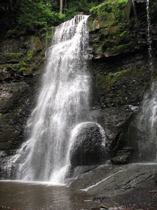 Upper Plotter Kill FallsCounty preserve overlook; steep marked path to the base59 ft (18 m) · Schenectady County, NY6.9 miNE
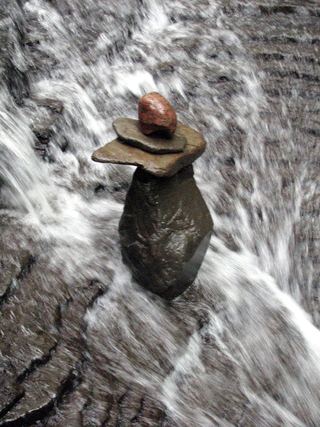 Lower Plotter Kill FallsPartial guide: view from near the top edge only; base route not described39 ft (12 m) · Schenectady County, NY7.1 miNE
- Rynex Kill FallsPartial guide: view of the top only from the Red Trail; base route not described39 ft (12 m) · Schenectady County, NY7.2 miNE
- Minelot FallsState park cliff-base trail; seasonal winter closure; vehicle fee98 ft (30 m) · Albany County, NY7.8 miSE
- Sergeant FallsSchenectady County, NY7.8 miNE
- French Hollow FallsTown trail system to a pedestrian bridge viewpointAlbany County, NY8.0 miE
- Jacob's Ladder FallsPartial guide: preserve trail to a nearby cascade; the last part follows the stream bed and the name's extent is unclearSchenectady County, NY8.4 miNE