Postcard Falls
Monroe County, New York
Your visit at a glance
- Waterfall height
- 3 ft (1 m)
- Location
- Monroe County, New York
- Access status
- Town park trail to a viewing area above the falls
- The walk
- About 200 yards to the tunnel and trailhead, then a short way along the Perimeter Trail
- Ground & access
- Short, flat trail. Watch for local traffic on the road and in the tunnel.
Postcard Falls is a low, wide limestone cascade, about 6 to 8 feet high, on Allen Creek in Corbett's Glen Nature Park, a Town of Brighton park. From the Glen Road parking, walk down the road and through the historic railroad tunnel; a small falls drops on the far side. Follow the creek downstream to the park sign and wooden stairs, then take the Perimeter Trail. Shortly along, the fence opens and a side path on the right leads to a seating area overlooking Postcard Falls. Trees partly block the view. Return the same way or continue around the Perimeter Trail loop.
Plan your visit
Glen Road roadside parking, through the Corbett's Glen railroad tunnel, then the Perimeter Trail to the Postcard Falls viewing area
Uncovering New York gives about 200 yards from the Glen Road parking to the start of the trail. NYFalls says the tunnel falls, the deck and Postcard Falls all lie within the first fifth of a mile of the Perimeter Trail.
Short, flat trail. Watch for local traffic on the road and in the tunnel.
Where to start
Designated roadside spaces on Glen Road near the tunnel, off Linden Avenue (Route 441), for about 6 cars; the rest of the road is signed No Parking. Two accessible spaces are at the end of the road beyond the tunnel. An eight-car lot on Penfield Road, across from Forest Hill Road, serves the north end of the park.
Timing & water
NYFalls lists the park as worth visiting year round. Dogs must be leashed.
Before you go
NYFalls lists admission as free. No restrooms or trash cans.
Visitor informationVisit sources
More waterfalls nearby
Within 40 straight-line miles. Road and trail distances will differ.
- Densmore FallsMonroe County, NY4.4 miN
- Upper FallsMonroe County, NY4.8 miW
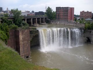 High FallsCity pedestrian bridge and overlooks; paved, short walk95 ft (29 m) · Monroe County, NY5.2 miNW
- Middle FallsCity park trail to the dam that now caps Middle FallsMonroe County, NY6.4 miNW
- Lower FallsCity bridge and park viewpoints; short walkMonroe County, NY6.5 miNW
- Norton’s FallsShort gorge trail from public fishing access parkingMonroe County, NY6.6 miNW
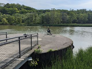 Turning Point FallsPartial guide: two falls in the park; which one this listing marks is not confirmedMonroe County, NY8.7 miNW
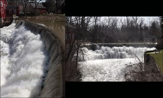 Honeoye FallsVillage viewpoint and public parking documentedMonroe County, NY13 miS
- Triphammer FallsLivingston County, NY22 miSW