Turning Point Falls
Monroe County, New York
Your visit at a glance
- Waterfall height
- Not recorded
- Location
- Monroe County, New York
- Access status
- Partial guide: two falls in the park; which one this listing marks is not confirmed
- The walk
- About 250 yards to the south falls view; about a quarter mile along the rim to the north falls; close to 2 miles to visit both
- Ground & access
- Paved bike path and dirt rim trail. The cliff edge is unfenced; the descent to the base is extremely steep, muddy and slippery.
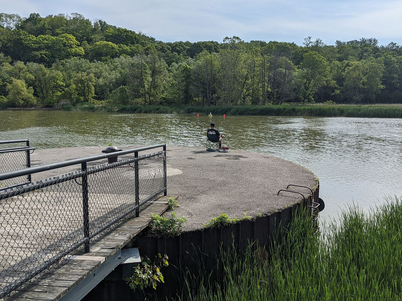
Turning Point Park, at the end of Boxart Street off Lake Avenue in northern Rochester, has two seasonal waterfalls of about 30 feet that drop into the Genesee River gorge. For the south falls, follow the paved bike path south from the parking lot for about 250 yards, then take a path left through the bushes to a dirt path about 20 feet lower, where you can see the falls. For the north falls, follow a utility road north from the lot; where the river widens into the Turning Point Basin, take a trail left and follow the rim of the cliff about a quarter mile to the falls. Local names for the two falls (Red Falls, Brown Falls) conflict, and which of the two this listing marks is not confirmed. The scramble to the base of either is extremely steep.
Plan your visit
Turning Point Park lot at the end of Boxart Street off Lake Avenue, Rochester; paved path south (Turning Point South) or utility road and rim trail north (Turning Point North) to views of the falls
Ruth's Waterfalls gives about 250 yards on the bike path to the south falls and about a quarter mile on the rim trail to the north falls, and says visiting both is close to 2 miles.
Paved bike path and dirt rim trail. The cliff edge is unfenced; the descent to the base is extremely steep, muddy and slippery.
Where to start
Small lot at the end of Boxart Street, off Lake Avenue.
Timing & water
Seasonal falls; often dry. Best after heavy rain or snowmelt.
Before you go
No fee is stated. City park.
Visitor informationVisit sources
More waterfalls nearby
Within 40 straight-line miles. Road and trail distances will differ.
- Norton’s FallsShort gorge trail from public fishing access parkingMonroe County, NY2.8 miS
- Lower FallsCity bridge and park viewpoints; short walkMonroe County, NY3.6 miS
- Middle FallsCity park trail to the dam that now caps Middle FallsMonroe County, NY3.8 miS
- Densmore FallsMonroe County, NY4.6 miSE
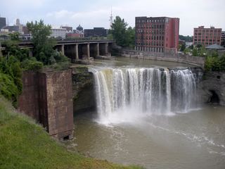 High FallsCity pedestrian bridge and overlooks; paved, short walk95 ft (29 m) · Monroe County, NY4.8 miS
- Upper FallsMonroe County, NY5.5 miS
- Postcard FallsTown park trail to a viewing area above the falls3 ft (1 m) · Monroe County, NY8.7 miSE
 Honeoye FallsVillage viewpoint and public parking documentedMonroe County, NY19 miS
- Holly FallsVillage park falls visible from the parking lot; flows only in canal seasonOrleans County, NY20 miW