Lower Falls
Monroe County, New York
Your visit at a glance
- Waterfall height
- Not recorded
- Location
- Monroe County, New York
- Access status
- City bridge and park viewpoints; short walk
- The walk
- Short walk from the Maplewood Park lot to the bridge; Maplewood trail loop about half a mile
- Ground & access
- Sidewalk and park paths; the trail into the gorge is steeper. The gorge floods at high water.
Lower Falls is the lowest of Rochester's Genesee River falls, about 100 feet high with a man-made crest. The quickest view is from the southern sidewalk of the Driving Park Avenue Bridge, through a high chain-link fence. Park in the Maplewood Park lot off Driving Park Avenue and walk to the bridge. For other views, take the trail from the restroom building east of the lot down into the gorge, under the bridge, to a viewing area and on to Lower Falls Park at the crest of the falls. On the east side, a paved access road from the DEC fishing access lot on Seth Green Drive descends into the gorge under the bridge. The informal path to the base from Maplewood Park is not an official trail.
Plan your visit
Maplewood Park lot on Driving Park Avenue, short walk to the south sidewalk of the Driving Park Avenue Bridge
NY Falls says the Driving Park Bridge is a short distance from the Maplewood Park lot and gives about a half-mile loop for the Maplewood trail to Lower Falls Park. From the east side, the paved road from the Seth Green fishing access lot to the gorge bottom is less than half a mile.
Sidewalk and park paths; the trail into the gorge is steeper. The gorge floods at high water.
Where to start
Maplewood Park lot off Driving Park Avenue (on the right coming from St. Paul Street). East side: small DEC fishing access lot on Seth Green Drive.
Timing & water
Maplewood Park is open daylight hours only. Gorge access is prohibited at night and when water is high. Do not swim in the river.
Before you go
Free.
Visitor informationVisit sources
More waterfalls nearby
Within 40 straight-line miles. Road and trail distances will differ.
- Middle FallsCity park trail to the dam that now caps Middle FallsMonroe County, NY0.2 miS
- Norton’s FallsShort gorge trail from public fishing access parkingMonroe County, NY0.9 miNE
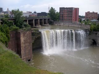 High FallsCity pedestrian bridge and overlooks; paved, short walk95 ft (29 m) · Monroe County, NY1.4 miSE
- Upper FallsMonroe County, NY2.1 miSE
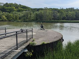 Turning Point FallsPartial guide: two falls in the park; which one this listing marks is not confirmedMonroe County, NY3.6 miN
- Densmore FallsMonroe County, NY4.0 miE
- Postcard FallsTown park trail to a viewing area above the falls3 ft (1 m) · Monroe County, NY6.5 miSE
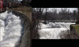 Honeoye FallsVillage viewpoint and public parking documentedMonroe County, NY16 miS
- Holly FallsVillage park falls visible from the parking lot; flows only in canal seasonOrleans County, NY20 miW