High Falls
Sullivan County, New York
Your visit at a glance
- Waterfall height
- Not recorded
- Location
- Sullivan County, New York
- Access status
- State unique area trail; rocky and challenging
- The walk
- About 6.4 miles return
- Ground & access
- Rocky, challenging trail through dense mountain laurel and rhododendron. Swimming is not allowed. Cell service is poor.
High Falls is a waterfall on the Neversink River in DEC's Neversink River Unique Area, a gorge between Rock Hill and Forestburgh. From the Katrina Falls Road parking lot, follow the blue trail markers for just over 3 miles, then turn right on the High Falls trail and follow yellow markers a little over a tenth of a mile to the falls. DEC calls this the area's most popular and most challenging hike because of rocky terrain. The Wolf Brook trailhead also connects to the High Falls Trail.
Plan your visit
Katrina Falls Road parking lot, Neversink River Unique Area, blue-marked trail east just over 3 miles, then right on the yellow-marked High Falls trail to the falls
DEC gives 6.4 miles round trip for the Blue Trail East to High Falls.
Rocky, challenging trail through dense mountain laurel and rhododendron. Swimming is not allowed. Cell service is poor.
Where to start
DEC Katrina Falls Road parking lot (41.583177, -74.621980). It fills quickly on weekends and holidays; park only in designated areas, or use another DEC lot such as Hiram Jones Road.
Timing & water
Open daily from one half hour before sunrise to one half hour after sunset. No camping or swimming.
Before you go
DEC lists the area as free.
Visitor informationVisit sources
More waterfalls nearby
Within 40 straight-line miles. Road and trail distances will differ.
- Denton FallsSullivan County, NY1.3 miNE
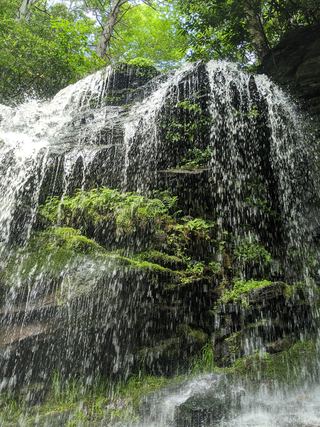 Mullet FallsMarked DEC trail from the Katrina Falls parking areaSullivan County, NY1.6 miNE
- Katrina FallsSullivan County, NY4.0 miN
- Fish Cabin FallsSullivan County, NY11 miSW
- Horseshoe Mines FallsShort unmarked path and roadside parking documentedUlster County, NY14 miNE
- Nevele Falls36 ft (11 m) · Ulster County, NY16 miNE
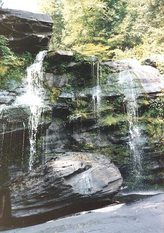 Hanging Rock FallsPartial guide: informal path; land ownership and parking permission not statedUlster County, NY17 miNE
- North Gully FallsUlster County, NY17 miNE
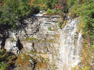 Verkeerderkill FallsLong Path to a landowner-permitted overlook; trail beyond the overlook is closedUlster County, NY19 miNE