Potter's Falls
Tompkins County, New York
Your visit at a glance
- Waterfall height
- Not recorded
- Location
- Tompkins County, New York
- Access status
- City natural area; unmarked trail past the dams
- The walk
- About 2.2 miles one way
- Ground & access
- Moderate. Confusing network of paths, steep and muddy in places. Blue blazes stop at the dams; beyond them the trail is unmarked and not well maintained. The City trail site calls the trails unimproved and minimally maintained.
Potter's Falls, also called Green Tree Falls, is a 25-foot cascade on Six Mile Creek below a 100-foot cliff, in the Six Mile Creek Natural Area south of Ithaca. From the Mulholland Wildflower Preserve lot, cross either footbridge to the south and follow the blue-marked trail with the creek on your right. Stay right at the 0.45-mile fork. At about 0.66 miles a side path drops to the creek and the 8-foot and 30-foot dams. Back at that junction, take the right trail up, make a sharp right at 0.8 miles, and reach the top of the larger dam at about 1 mile. Past the dams the path is unmarked: cross the open area, keep the creek down on your right, pass a swampy area and a gully, and descend. At a fork near the falls, go left for a view from above or right to the creek below the pool.
Plan your visit
Mulholland Wildflower Preserve lot on Giles Street, blue-marked trail past the First and Second Dams, then unmarked paths along Six Mile Creek to Potter's Falls
NYFalls gives about 2.2 miles one way and says loops can make a round trip of 5 miles or more.
Moderate. Confusing network of paths, steep and muddy in places. Blue blazes stop at the dams; beyond them the trail is unmarked and not well maintained. The City trail site calls the trails unimproved and minimally maintained.
Where to start
Mulholland Wildflower Preserve lot, about 500 feet inside the entrance off Giles Street, with room for about 20 cars. If full, NYFalls suggests the trailhead on the west side of the Giles Street bridge.
Timing & water
NYFalls says the area is open daylight hours, year-round. The creek is a city drinking-water source; swimming above Second Dam is illegal. NYFalls reports the 60-foot dam above the falls is off limits.
Before you go
NYFalls lists admission as free.
Visitor informationVisit sources
More waterfalls nearby
Within 40 straight-line miles. Road and trail distances will differ.
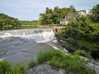 Triphammer FallsCampus views from road and footbridgesTompkins County, NY2.5 miN
- Rocky FallsCampus gorge view from a pedestrian bridgeTompkins County, NY2.6 miNW
- Horseshoe FallsCampus gorge view from a pedestrian bridgeTompkins County, NY2.6 miNW
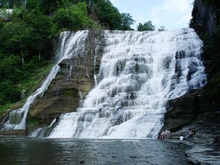 Ithaca FallsCity natural area path and parking documentedTompkins County, NY2.8 miNW
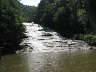 Buttermilk FallsState park falls visible from the lower parking area; entry fee in seasonTompkins County, NY3.0 miW
- Lower FallsShort accessible state park path to the falls poolTompkins County, NY5.3 miW
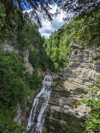 Lucifer FallsState park trail and parking documented; gorge trail closes in winterTompkins County, NY6.4 miW
- Emilie Jonas FallsShort steep preserve trail on private land opened to the publicTompkins County, NY7.5 miN
- Pocket FallsPreserve trail to a rim view of the falls; seasonal openingTompkins County, NY7.8 miN