Judds Falls
Otsego County, New York
Your visit at a glance
- Waterfall height
- 121 ft (37 m)
- Location
- Otsego County, New York
- Access status
- Partial: roadside view from the crest; land ownership not confirmed
- The walk
- A few minutes to the crest; over an hour to go down the gorge and up to the base
- Ground & access
- Short walk to the crest. The path into the gorge is not maintained, narrow and risky, with flash flood danger in storms.
Judds Falls is a 135-foot cascade at the head of Canajoharie Creek. From the gravel parking area beside NY 166 near the crest, a short walk leads to a view from the top of the falls. NYFalls says the falls are not in an official park or preserve; the land seems to be public, possibly state highway land, but this is not confirmed. An unmaintained, overgrown and risky path goes down to the creek for those who want to reach the base.
Plan your visit
Small gravel pull-off on NY 166 north of Cherry Valley, short walk to the crest of Judds Falls
NYFalls says it takes a few minutes to walk from the parking area to the crest, and over an hour to hike down the gorge and up to the base. No distance in miles is given.
Short walk to the crest. The path into the gorge is not maintained, narrow and risky, with flash flood danger in storms.
Where to start
Gravel parking area for 2 or 3 cars off NY 166 near the crest of the falls (NYFalls coordinates N 42.82196 / W 74.73495). Alternate parking for about 2 cars at Salt Springville Road and NY 166.
Timing & water
The falls can be seen from the crest year-round. Best flow in early spring.
Before you go
NYFalls lists admission as free.
Visitor informationVisit sources
More waterfalls nearby
Within 40 straight-line miles. Road and trail distances will differ.
- Canajoharie FallsVillage park trail to an observation deckMontgomery County, NY9.9 miNE
- Boucks FallsSchoharie County, NY25 miSE
- Creamery FallsSchoharie County, NY28 miSE
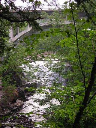 Mine Kill FallsState park overlook trail from a signed falls parking areaSchoharie County, NY30 miSE
- Bozen KIll FallsPartial guide: preserve trail documented; this listing is probably the Christman Sanctuary falls, but no source ties it to this location49 ft (15 m) · Schenectady County, NY32 miE
- Manor Kill FallsRoadside bridge view; pull-offs on both sides of the roadSchoharie County, NY34 miSE
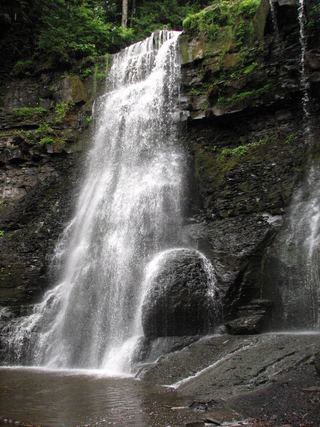 Upper Plotter Kill FallsCounty preserve overlook; steep marked path to the base59 ft (18 m) · Schenectady County, NY35 miE
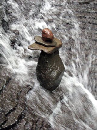 Lower Plotter Kill FallsPartial guide: view from near the top edge only; base route not described39 ft (12 m) · Schenectady County, NY35 miE
- Rynex Kill FallsPartial guide: view of the top only from the Red Trail; base route not described39 ft (12 m) · Schenectady County, NY35 miE