Manor Kill Falls
Schoharie County, New York
Your visit at a glance
- Waterfall height
- Not recorded
- Location
- Schoharie County, New York
- Access status
- Roadside bridge view; pull-offs on both sides of the road
- The walk
- Roadside; a few steps from the pull-offs to the bridge
- Ground & access
- Road bridge with traffic. The ravine around the stream is steep.
Manor Kill Falls is a series of falls and cascades that drop more than 100 feet along the Manor Kill before it reaches the Schoharie Reservoir. From Prattsville, take NY 23 west and turn right onto County Route 7 just before the bridge over Schoharie Creek. The road becomes County Route 53 and then County Route 39 (Prattsville Road). The bridge over the Manor Kill is nearly six miles along. Park at a pull-off and view the falls from the bridge; there are views on both sides. The aqua-blazed Long Path crosses the stream on the same bridge.
Plan your visit
Prattsville Road (Schoharie County Route 39) bridge over the Manor Kill, view of the falls and cascades from the bridge
CNY Hiking places the pull-offs at the bridge, so the view is a roadside stop. The Long Path also passes a vantage point about 50 feet off the trail shortly before it reaches Prattsville Road.
Road bridge with traffic. The ravine around the stream is steep.
Where to start
Pull-offs on both sides of Prattsville Road at the bridge. CNY Hiking gives the bridge position as N42 22.811 W74 25.873. The parking areas for recreation on NYC DEP land along this road need a DEP access permit.
Timing & water
No seasonal closure is stated by the sources.
Before you go
No fee is stated for the roadside view. NYC DEP recreation parking areas need a DEP access permit.
Visitor informationVisit sources
More waterfalls nearby
Within 40 straight-line miles. Road and trail distances will differ.
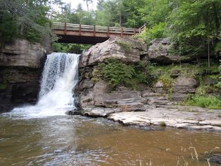 Hardenburg FallsApproach documented; current DEP access unresolvedGreene County, NY3.1 miS
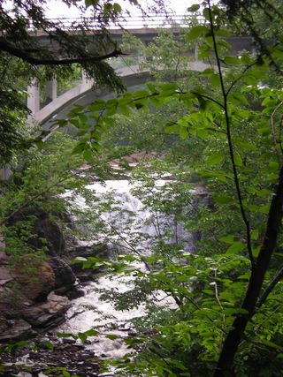 Mine Kill FallsState park overlook trail from a signed falls parking areaSchoharie County, NY4.0 miNW
- Red FallsGreene County, NY5.3 miS
- Creamery FallsSchoharie County, NY6.3 miN
- Boucks FallsSchoharie County, NY11 miN
- Stratton Falls20 ft (6 m) · Delaware County, NY12 miSW
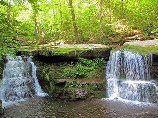 Diamond Notch FallsState wilderness trail; about a mile one way15 ft (4.6 m) · Greene County, NY17 miSE
- Rensselaerville Upper FallsPreserve trail to an upper viewing platform; free, dawn to duskAlbany County, NY17 miNE
- Rensselaerville Middle FallsPreserve trail to the middle falls viewing areaAlbany County, NY17 miNE