Taughannock Falls
Tompkins County, New York
Your visit at a glance
- Waterfall height
- 217 ft (66 m)
- Location
- Tompkins County, New York
- Access status
- Lower Gorge Trail parking and approach researched
- The walk
- ¾-mile approach to the falls
- Ground & access
- Wide, wooded and relatively flat.
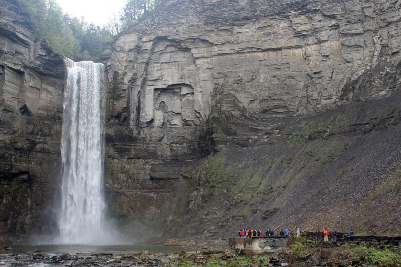
Follow the wide gorge trail to the waterfall viewing area.
Plan your visit
Gorge Trail
The park describes a ¾-mile trail ending at the falls. This is the approach, not a published round-trip total.
Wide, wooded and relatively flat.
Where to start
Use the parking area shown at the lower Gorge Trail entrance on the west side of NY Route 89, beside Taughannock Creek. This is separate from the Falls Overlook lot on Taughannock Park Road and the Black Diamond lot at the upper end of the gorge. The official park map shows the Gorge Trail starting at this lower lot.
Timing & water
Park open dawn to dusk year-round. The page reports all trails open as of April 17, 2026; confirm conditions before travel.
Before you go
The park lists a $10 vehicle entrance fee. Day-hike reservation requirements are not stated.
Visitor informationMore waterfalls nearby
Within 40 straight-line miles. Road and trail distances will differ.
- Frontenac Falls95 ft (29 m) · Seneca County, NY1.7 miNW
- Ludlowville FallsTown park overlook a short walk from the lot33 ft (10 m) · Tompkins County, NY4.0 miE
- Pocket FallsPreserve trail to a rim view of the falls; seasonal openingTompkins County, NY4.9 miE
- Emilie Jonas FallsShort steep preserve trail on private land opened to the publicTompkins County, NY5.7 miE
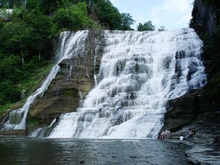 Ithaca FallsCity natural area path and parking documentedTompkins County, NY8.3 miSE
- Horseshoe FallsCampus gorge view from a pedestrian bridgeTompkins County, NY8.6 miSE
- Rocky FallsCampus gorge view from a pedestrian bridgeTompkins County, NY8.6 miSE
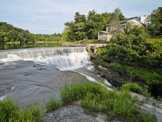 Triphammer FallsCampus views from road and footbridgesTompkins County, NY8.8 miSE
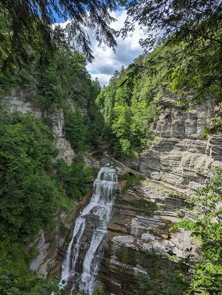 Lucifer FallsState park trail and parking documented; gorge trail closes in winterTompkins County, NY9.4 miS