Ambergill Falls
Kings County, New York
Your visit at a glance
- Waterfall height
- Not recorded
- Location
- Kings County, New York
- Access status
- City park path; walk to a bridge viewpoint
- The walk
- Distance not given; the Ravine Loop is 0.42 miles
- Ground & access
- Paved paths and stone staircases in a wooded ravine.
Ambergill Falls (Ambergill Cascade) is one of the waterfalls Olmsted and Vaux designed in Prospect Park's Ravine. NYC Parks says it is visible only from Rock Arch Bridge, a stop on the 0.42-mile Ravine Loop. The Prospect Park Alliance walk starts at Grand Army Plaza: take the eastern path to Endale Arch into the Long Meadow, follow the east side of the meadow, take the left path into the woods, go down the stone steps to Boulder Bridge, and continue down the steps to Rock Arch Bridge and Ambergill Falls. Maps are posted at most park entrances. The route description dates from 2014.
Plan your visit
Grand Army Plaza entrance, across the Long Meadow and through the Ravine to Rock Arch Bridge and Ambergill Falls
NYC Parks gives 0.42 miles for the Ravine Loop, which passes the Rock Arch Bridge viewpoint. The Prospect Park Alliance walk from Grand Army Plaza gives no total distance; the Long Meadow alone is nearly one mile long.
Paved paths and stone staircases in a wooded ravine.
Where to start
No visitor lot for the Ravine is listed. Most visitors enter on foot; the walk described starts at the Grand Army Plaza entrance.
Timing & water
Open year-round as a city park.
Before you go
No fee or reservation is mentioned.
Visitor informationVisit sources
More waterfalls nearby
Within 40 straight-line miles. Road and trail distances will differ.
- Fallkill FallsCity park woodland trail to a man-made waterfallKings County, NY0.2 miSW
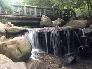 Binnen FallsCity park path; viewpoint at the base of the fallsKings County, NY0.2 miSE
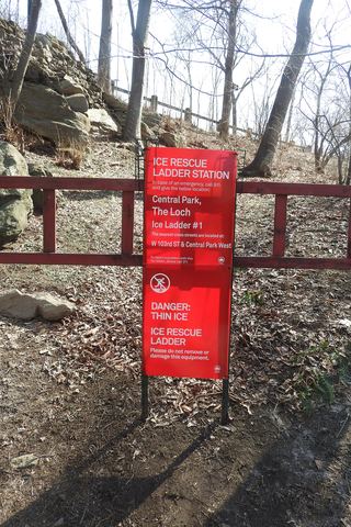 The LochNew York County, NY9.0 miN
- The FallsPartial guide: city park trails; the waterfall's exact spot and the path to it are not describedBronx County, NY17 miNE
- Hemlock FallsCounty park trail to a 25-foot fallsEssex County, NJ18 miW
- Hobble FallsCounty reservation trail; short walk on the Lenape TrailEssex County, NJ18 miW
- Greenbrook FallsRiverside Shore Trail walk to the base of the fallsBergen County, NJ18 miN
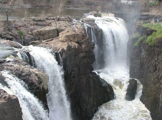 Great FallsNational historical park; overlook at the visitor parking lot75 ft (23 m) · Passaic County, NJ21 miNW
- SeelePartial guide: the path reaches the dam, but where to view the falls below it is unclearUnion County, NJ23 miW