Seele
Union County, New Jersey
Your visit at a glance
- Waterfall height
- Not recorded
- Location
- Union County, New Jersey
- Access status
- Partial guide: the path reaches the dam, but where to view the falls below it is unclear
- The walk
- Short walk; distance unknown
- Ground & access
- Easy unmarked footpath beside the brook and pond. A short walk on Sky Top Drive.
This listing is the falls at the Seeley's Pond dam on Blue Brook, on Diamond Hill Road at the Berkeley Heights and Scotch Plains line, in Union County's Watchung Reservation. A paper mill once used the falls for power. Gone Hikin' starts at the Seeley's Pond Picnic Area parking. Its route walks out the picnic area drive, turns right on Sky Top Drive, crosses the bridge and takes the trail on the right from a roadside parking area. An unmarked but maintained footpath follows Blue Brook, gives views of Seeley's Pond and leads to the dam at the far end of the pond. It is unclear where to stand to see the falls below the dam. The route description dates from 2013.
Plan your visit
Seeley's Pond Picnic Area in Watchung Reservation, unmarked footpath along Blue Brook and Seeley's Pond to the dam on Diamond Hill Road
Gone Hikin' describes the footpath to the dam as part of a longer 5-mile hike and gives no separate distance to the falls.
Easy unmarked footpath beside the brook and pond. A short walk on Sky Top Drive.
Where to start
Seeley's Pond Picnic Area parking in Watchung Reservation. Published coordinates: 40.668684, -74.403621. Gone Hikin' also mentions a roadside parking area on Sky Top Drive by the trail.
Timing & water
Blue Brook can run very low in dry periods.
Before you go
No fee is listed.
Visitor informationVisit sources
More waterfalls nearby
Within 40 straight-line miles. Road and trail distances will differ.
- Hemlock FallsCounty park trail to a 25-foot fallsEssex County, NJ8.3 miNE
- Hobble FallsCounty reservation trail; short walk on the Lenape TrailEssex County, NJ8.4 miNE
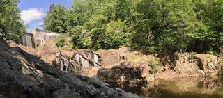 Buttermilk FallsParking access under construction; dated detour reportedSomerset County, NJ9.8 miSW
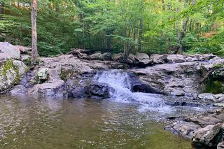 Buttermilk FallsPartial: current access and parking closure unresolvedMorris County, NJ15 miNW
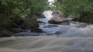 Boonton FallsTown park trail into a gorgeMorris County, NJ17 miN
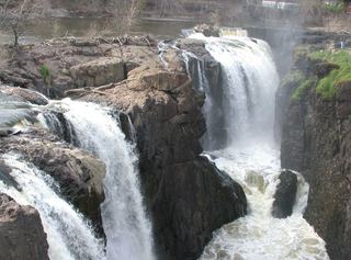 Great FallsNational historical park; overlook at the visitor parking lot75 ft (23 m) · Passaic County, NJ21 miNE
- Bridal Veil FallsPartial: falls location on campus documented; visitor parking and walking distance not statedPassaic County, NJ23 miNE
- Fallkill FallsCity park woodland trail to a man-made waterfallKings County, NY23 miE
- Ambergill FallsCity park path; walk to a bridge viewpointKings County, NY23 miE