WaterfallNear Me

Pennsylvania waterfall visits

Compare 108 Pennsylvania waterfall visits by the approach, terrain, and where to start. Some routes have closures or unresolved details; read the individual guide before travelling.

108 visit options

Angel Falls, PA

Marked state forest trail and parking documented

Pennsylvania

Angel Falls

About 1 mile each way (PA Bucket List figure)

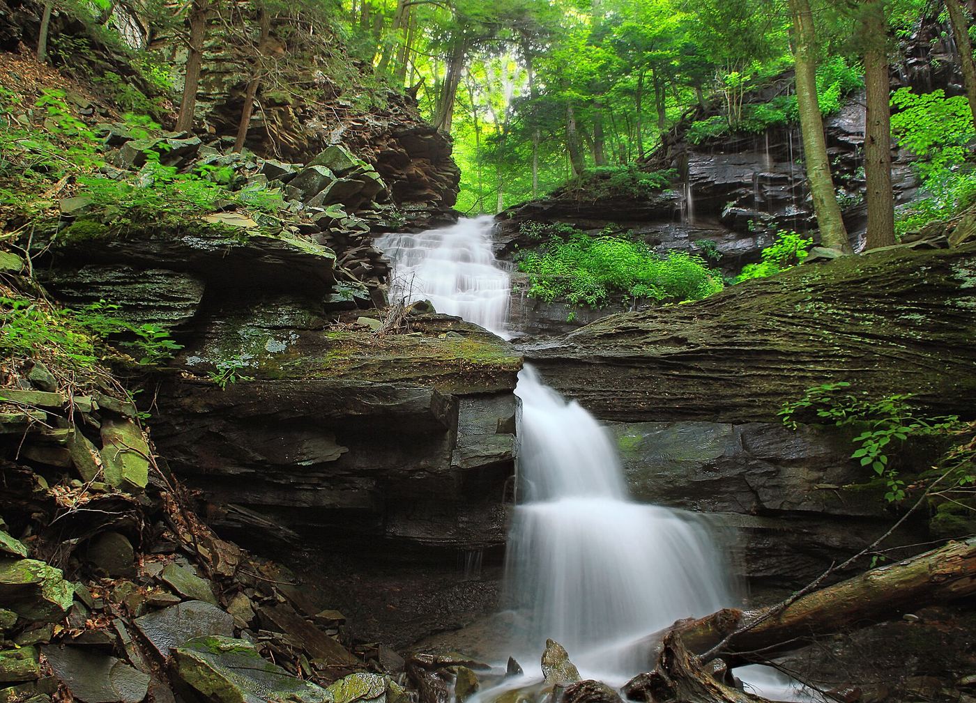
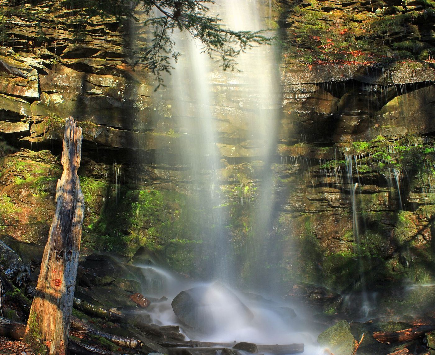
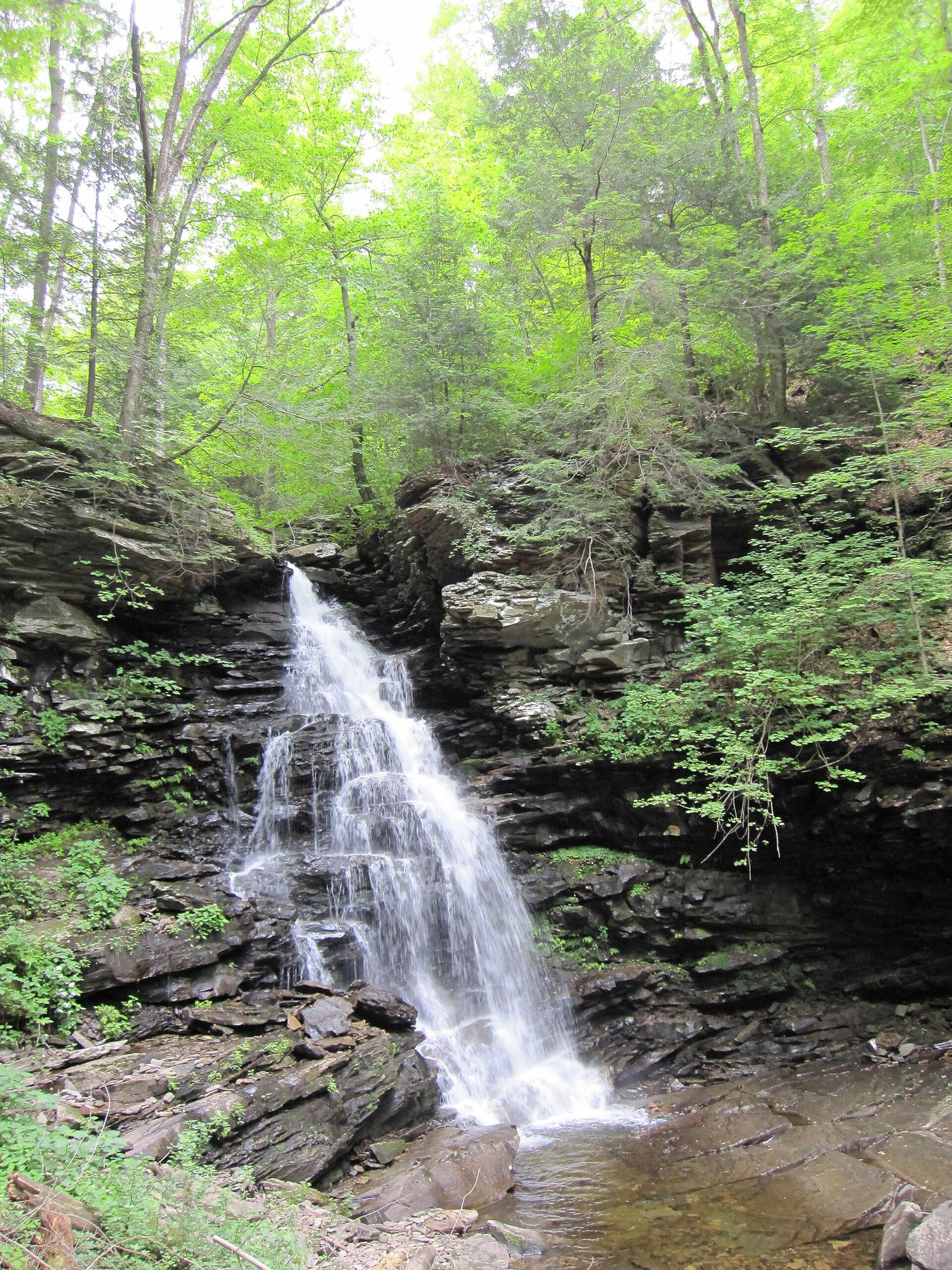
Angel Falls is a 70-foot falls on Falls Run in the southern part of Loyalsock State Forest. From the Brunnerdale Road lot, follow the Loyalsock Trail along Ogdonia Creek; the first two-thirds is nearly flat. At about one-third of a mile the trail follows a reroute; about one-third of a mile later it reaches a wet crossing of Falls Run. The last third of a mile climbs along Falls Run to Angel Falls. Blue spur-trail markers lead to Angel Falls and to 20-foot Gipson Falls just below it. Return the same way.
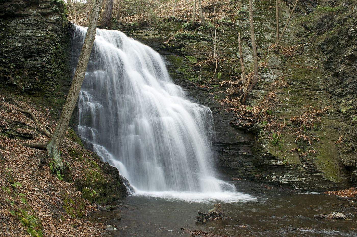
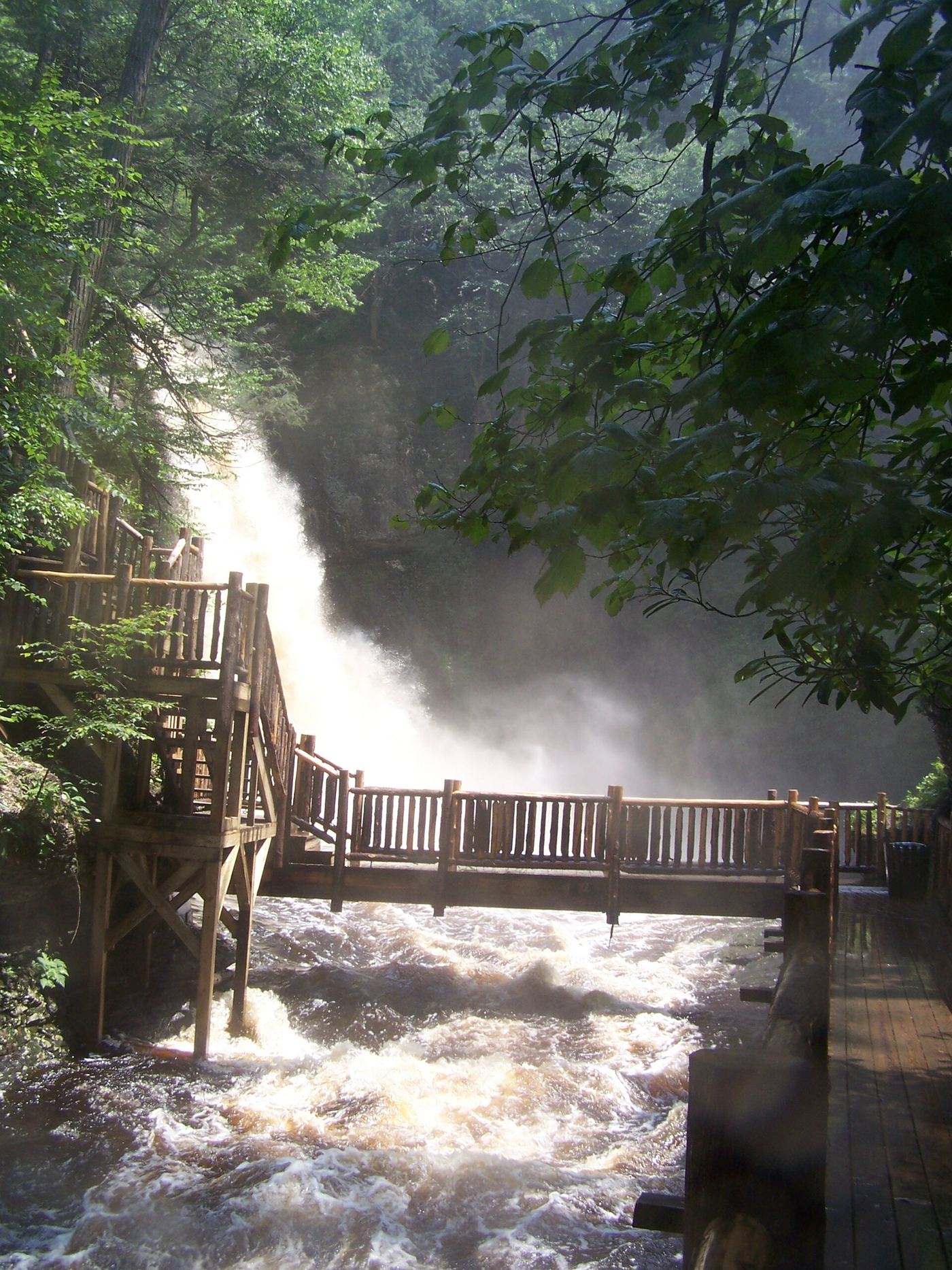
Photo creditPhoto: Nicholas A. Tonelli from Northeast Pennsylvania, USA, CC BY 2.0, via Wikimedia Commons
Bridal Veil Falls, PA

Trail inside a private park; admission charged; closed December through March

Pennsylvania

Bridal Veil Falls

About half a mile from the base of the main falls; the full Red Trail is almost 2 miles

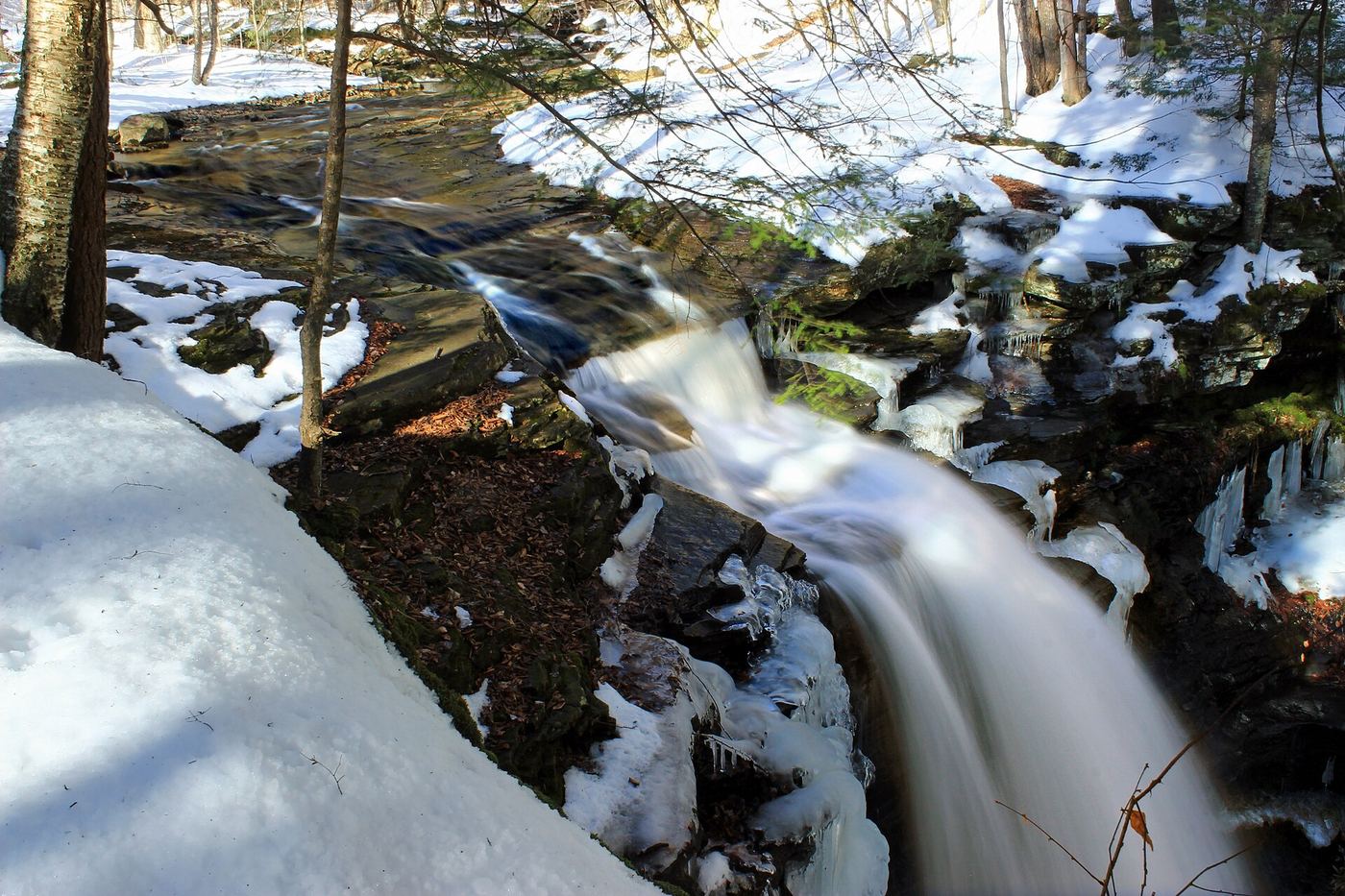
Bridal Veil Falls, about 25 feet, is on Pond Run Creek inside Bushkill Falls, a private park that charges admission. Enter the park, take the stairs and trails to the base of the main falls, then follow the Red Trail up along Pond Run to Bridal Veil Falls. A smaller Bridesmaid Falls is a short distance upstream and another is downstream. The Red Trail is a simple footpath rather than boardwalk. Continue on the Red Trail loop or return the way you came.

Photo creditPhoto: Kalyan Kaza, CC BY-SA 3.0, via Wikimedia Commons
Bushkill Falls, PA

Private attraction with paid admission; marked trails

Pennsylvania

Bushkill Falls

About 15 minutes on the Green Trail, per Bushkill Falls; no distance is published

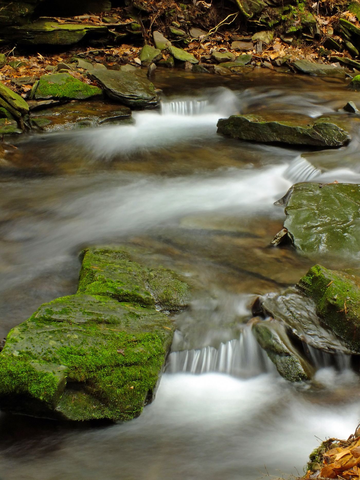
Bushkill Falls is the 100-foot Main Falls of a private attraction with eight waterfalls on the Little Bush Kill. After paying admission, take the Green Trail, a walk of about 15 minutes with steps but no climbing, to the primary observation deck for the Main Falls. The Yellow Trail adds Lower Gorge Falls, Laurel Glen and Upper Canyon, and boardwalks and stairs lead to the top and base of the falls.

Photo creditPhoto: Snagglepuss at English Wikipedia, Public domain, via Wikimedia Commons
Choke Creek Falls, PA

Forest roads and the Pinchot Trail from a Phelps Road pull-off

Pennsylvania

Choke Creek Falls

About three-quarters of a mile to the falls, per Uncovering PA; return the same way

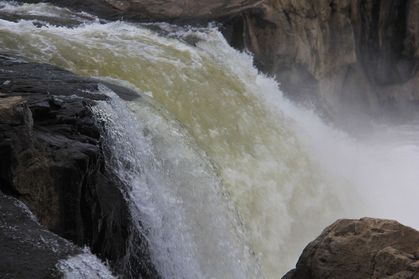
Choke Creek Falls, about 20 feet, tumbles into a deep pool in Pinchot State Forest. From the pull-off, walk past the gate and down the access road, passing a road on the left, for about a quarter mile to a clearing. Take the trail past the gate on the right, which heads downhill, for another quarter mile to a wooden bridge over Butler Run just above its confluence with Choke Creek. Cross the bridge, follow the trail a few yards downstream, then bear right and follow Choke Creek upstream about a quarter mile to the top of the falls. This last section is part of the orange-blazed Pinchot Trail. Return the same way, or make Jeff Mitchell's 4-mile loop using the Butler Run and Choke Creek trails.

Photo creditPhoto: Nicholas A. Tonelli from Northeast Pennsylvania, USA, CC BY 2.0, via Wikimedia Commons
Cucumber Falls, PA

State park falls with a stairway from the parking area

Pennsylvania

Cucumber Falls

Short stairway from the parking area above the falls; no distance is published. The alternative Cucumber Falls Trail from Ohiopyle is 0.4 miles, per DCNR

Cucumber Falls is a 30-foot falls where Cucumber Run drops into the Youghiogheny River gorge in Ohiopyle State Park. From PA 381 just south of Ohiopyle Falls, turn onto Kentuck Road to the parking area above the falls. A stairway leads down into the gorge to the base of the falls, and there is also an overlook near the top. A longer approach is the Cucumber Falls Trail from Ohiopyle, which follows the river past Entrance Rapid and then crosses natural rock to the falls. Return the same way.

Photo creditPhoto: John Brighenti from Rockville, MD, United States, CC BY 2.0, via Wikimedia Commons
F.L. Ricketts Falls, PA

State park trail from Beach Lot #2

Pennsylvania

F.L. Ricketts Falls

1 mile to the closest waterfall (Onondaga), per DCNR; F. L. Ricketts is the next falls downstream

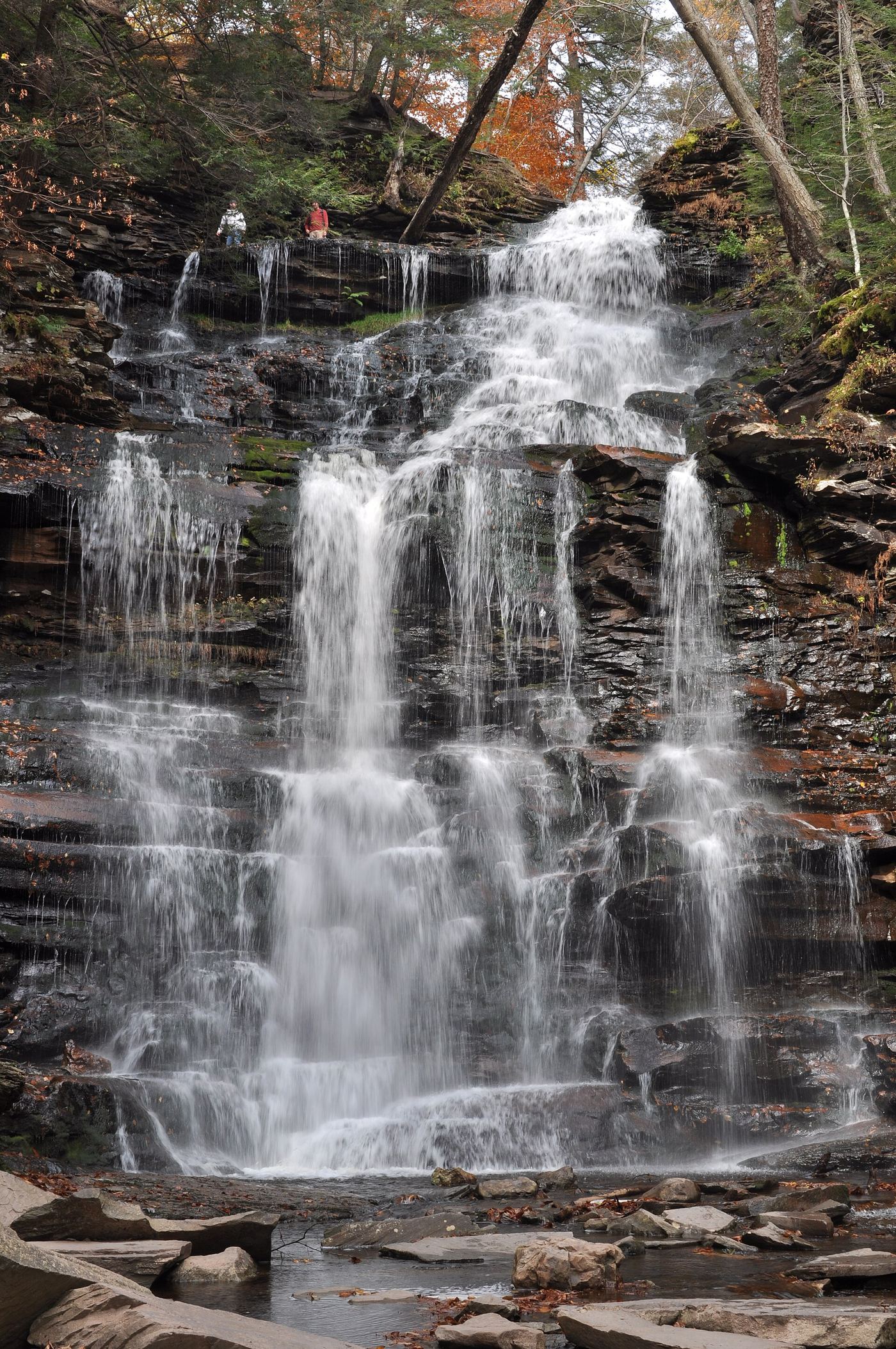
F. L. Ricketts Falls is a steep 38-foot slide in Glen Leigh, named for Frank L. Ricketts. From Beach Lot #2, follow the signs out of the lot and down the trail beside the cabin road to the top of the Glen Leigh side of the Falls Trail. Pass Onondaga Falls, the first waterfall, and continue downstream to F. L. Ricketts Falls. Return the same way, or make the 3.2-mile loop that DCNR describes with the Ganoga Glen side and the Highland Trail.

Photo creditPhoto: TravelerHoid, CC BY-SA 4.0, via Wikimedia Commons
Ganoga Falls, PA

Official Falls Trail from Lake Rose Trailhead

Pennsylvania

Ganoga Falls

About half a mile from Lake Rose Trailhead to the falls, per Go Waterfalling

Ganoga Falls, 94 feet, is the tallest of the named waterfalls in Ricketts Glen State Park. From Lake Rose Trailhead, follow the Falls Trail into Ganoga Glen and descend past Mohawk, Oneida and Cayuga Falls to Ganoga Falls. Return the same way, or continue as part of the 3.2-mile loop that DCNR describes using the Highland Trail and the Glen Leigh side.

Photo creditPhoto: Juliancolton, Public domain, via Wikimedia Commons
Gipson Falls, PA

Marked Loyalsock Trail and spur from a trailhead lot

Pennsylvania

Gipson Falls

About 1 mile to Angel Falls per PA Bucket List; Gipson Falls is on a spur just below it

Gipson Falls is a 20-foot falls on Falls Run in Loyalsock State Forest, just below the 70-foot Angel Falls. From the trailhead lot on Brunnerdale Road, follow the Loyalsock Trail, which is mostly flat for the first two-thirds along Ogdonia Creek; follow signs onto the rerouted section of the trail. After a wet crossing of Falls Run, the trail climbs along Falls Run. Gipson Falls and Angel Falls are both marked with blue spur-trail markers from the Loyalsock Trail. Return the same way.

Photo creditPhoto: Nicholas A. Tonelli from Northeast Pennsylvania, USA, CC BY 2.0, via Wikimedia Commons
Hinckston Falls, PA

Partial guide: roadside view only; no confirmed parking

Pennsylvania

Hinckston Falls

Roadside view; no walk

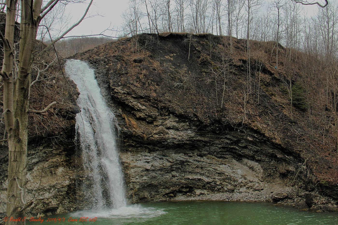
Hinckston Run Falls is a man-made falls where the outflow channel of Hinckston Run Reservoir drops over a 60-foot cliff, about 15 minutes north of downtown Johnstown. The road at the intersection of Waterfall Drive and Honan Avenue is the only place visitors are permitted to view it; all the land around the falls is posted No Trespassing. No Parking signs have been reported at the spot, so no confirmed place to stop is known. Keep any visit short.

Photo creditPhoto: Ron Shawley, CC BY 3.0, via Wikimedia Commons
Homewood Falls, PA

Short trail with stairs from the natural area parking lot

Pennsylvania

Homewood Falls

About a five-minute walk from the lower parking area, per Uncovering PA

Homewood Falls, also called Buttermilk Falls, is a 35-foot plunge on Clark Run in Buttermilk Falls Natural Area, just south of I-76 (exit 13) on Route 18. From I-76, head south on Route 18; the natural area sign is on the right just after the road passes under the interstate. From the lower parking area, walk the short trail past the old Homewood sandstone quarry on one side and small cascades on Clark Run on the other, with a stairway, to the base of the falls. You can walk behind the falls. For a view from the top, drive up the hill to the church and take the short trail to the right of the church.

Photo creditPhoto: Nyttend, Public domain, via Wikimedia Commons
Jacoby Falls, PA

Blazed state forest trail from Wallis Run Road

Pennsylvania

Jacoby Falls

1.6 miles each way, per Uncovering PA and PA Bucket List

Jacoby Falls, about 29 feet, is in Loyalsock State Forest north of Williamsport. The Northcentral Pennsylvania Conservancy bought land so that the whole trail is on public land. From the parking area, the yellow-blazed trail starts on a narrow boardwalk over a marsh, then climbs gently about 400 feet through woods beside Jacoby Hollow Run, crossing a stream and wet areas. About two-thirds of the way it runs beside and then on a pipeline road. At the yellow 095 pipeline marker, about 1.5 miles in, take the yellow-blazed trail that leaves the road on the left; the falls are about a tenth of a mile further. On the way back, watch for the narrow Please Stay on Trail post where the trail leaves the road, because the road does not lead back to the parking area.

Photo creditPhoto: Nicholas A. Tonelli from Northeast Pennsylvania, USA, CC BY 2.0, via Wikimedia Commons
Lewis Falls, PA

Partial guide: user-made paths on state game lands; road gate is seasonal

Pennsylvania

Lewis Falls

About 450 feet from the Lewis Falls sign when the road is open; 2.44 miles by road from the gate parking area to the Lewis Falls parking area

Lewis Falls is the tallest drop on Heberly Run in State Game Lands 13, just above the confluence with Quinn Run. From Jamison City, follow Jamison City Road to its end at a gate and large parking area. Walk (or, when the gate is open, drive) up Grassy Hollow Road past the Big Falls and Twin Falls signs to the Lewis Falls parking area and sign, then follow the old road and user trail a short distance to the top of the falls. The falls are surrounded by cliffs. This partial guide relies on visitor accounts: there is no official trail, signs are unofficial, and the way down to the base is a steep cliff descent or a creek walk with wet crossings from Twin Falls.

Photo creditPhoto: Nicholas A. Tonelli from Northeast Pennsylvania, USA, CC BY 2.0, via Wikimedia Commons
Naval Run Falls, PA

Partial guide: single contributor source; parking detail and distance to the falls not given

Pennsylvania

Naval Run Falls

Distance to the falls is not given; the full Hemlock Mountain loop is 6.48 miles

Naval Run Falls is on Naval Run in Tiadaghton State Forest, where the orange-blazed Black Forest Trail meets the Naval Run approach. A contributor guide on The Outbound says the route starts where Naval Run Road ends. Follow the blue blazes into Naval Run, cross the run, and continue right up an old logging skid trail along the run to reach the Black Forest Trail at Naval Run Falls. Return the same way, or continue on the longer Hemlock Mountain loop. The source does not give coordinates, parking details or a distance to the falls.

Photo creditPhoto: Nicholas A. Tonelli from Pennsylvania, USA, CC BY 2.0, via Wikimedia Commons
Ohiopyle Falls, PA

Official day use area overlook beside parking

Pennsylvania

Ohiopyle Falls

A few steps from the parking lot to the viewing areas

Ohiopyle Falls is a 15 to 20 foot waterfall across the full width of the Youghiogheny River in the borough of Ohiopyle. The Falls Day Use Area surrounds the falls and has parking, modern restrooms, a gift shop and snack bar, and overlook platforms. The park says the best view is from the observation deck there. Some of the viewing areas are accessible. The far bank (Ferncliff Peninsula) gives more views.

Photo creditPhoto: Ron Shawley, CC BY 3.0, via Wikimedia Commons
Ozone Falls, PA

Official Falls Trail from Beach Lot #2; distance to this falls not given

Pennsylvania

Ozone Falls

DCNR gives about 1 mile from Beach Lot #2 to the closest waterfall; Ozone is the fifth falls down

Ozone Falls, a steep 60-foot cascade, is the second-tallest falls in Ricketts Glen State Park and is in Glen Leigh. From Beach Lot #2, follow the signed trail beside the cabin road, past a park gate, and go right at the first intersection to reach the Falls Trail at the top of Glen Leigh. Descend past Onondaga, F.L. Ricketts, Shawnee and Huron Falls to Ozone Falls. Return the same way, or make the 3.2-mile loop that DCNR describes from Lake Rose Trailhead using the Highland Trail and both glens.

Photo creditPhoto: Chris M Morris, CC BY 2.0, via Wikimedia Commons
Resica Falls, PA

Partial guide: falls on private camp land; visitor accounts say the falls area is open to the public, but no owner page was found

Pennsylvania

Resica Falls

About 100 feet from the parking area to the viewing area, per Uncovering PA and PA Bucket List

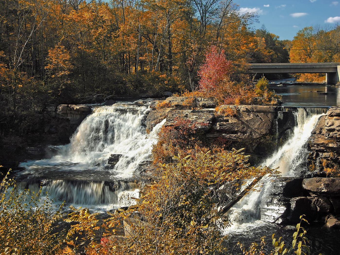
Resica Falls is a falls of about 25 to 30 feet with three separate streams of water on Bushkill Creek, on the property of the Resica Falls Scout Reservation. Uncovering PA says visitors are allowed to visit the falls thanks to a joint project of the state and Monroe County, but the rest of the camp is closed to the public. Park in the small lot on the right at the camp entrance, across Arnold Drive from the entrance building, and do not drive into the camp. Follow the path along the creek about 100 feet to the roped viewing area. Stay inside the roped area.

Photo creditPhoto: Nicholas A. Tonelli from Pennsylvania, USA, CC BY 2.0, via Wikimedia Commons
Rosecrans Falls, PA

Partial guide: informal streamside path next to a private parcel

Pennsylvania

Rosecrans Falls

About 0.3 mile each way (PA Bucket List figure)

Rosecrans Falls is a 20-foot falls on Spruce Run near Loganton, on Lock Haven Water Authority land managed by the Pennsylvania Game Commission, where hiking is permitted. From the parking area, start at the Public Access sign, stay to its left, go down the stream bank and rock-hop to the left side of Spruce Run as soon as you can. Follow the stream through open hemlock forest to the falls, then pick a safe spot to descend the bank below them. A small private parcel lies next to the falls; McElhattan Falls, beside Rosecrans Falls, is on that private land. View it only from the public side and do not climb on it or stand at its base.

Photo creditPhoto: Nicholas A. Tonelli from Pennsylvania, USA, CC BY 2.0, via Wikimedia Commons
Tamarack Falls, PA

Partial guide: unmarked old grade and creekside path; no established parking

Pennsylvania

Tamarack Falls

About 0.6 mile each way, per Jeff Mitchell

Tamarack Falls, about 20 feet, drops into a rocky grotto with a cave-like overhang on an intermittent tributary of Loyalsock Creek near Sones Pond in Loyalsock State Forest. Jeff Mitchell describes an unmarked, unsigned old forest grade that leaves Loyalsock Road at about 41.472756, -76.528259. Follow it level, then gradually down toward Tamarack Run. Where the grade fades, follow a path down along the creek to the top of the falls, then switchback down ledges to the base. Return the way you came. You may see orange flagging along the way.

Photo creditPhoto: Nicholas A. Tonelli from Northeast Pennsylvania, USA, CC BY 2.0, via Wikimedia Commons
Tobyhanna Falls, PA

Easy county natural area trail from Route 115

Pennsylvania

Tobyhanna Falls

About 0.4 to 0.5 mile each way

Tobyhanna Falls is a small waterfall on Tobyhanna Creek in the Austin T. Blakeslee Natural Area, owned by Monroe County, just off I-80 exit 284. Park at the lot next to the Route 115 bridge over Tobyhanna Creek (the first lot when coming from I-80). From the end of the lot, follow the red-blazed trail along the north side of the creek through mixed forest, crossing small streams on bridges or stepping stones, for about half a mile to the falls. An overlook just beyond the falls gives a good view. Return the same way, or use the blue-blazed trail to loop back.

Photo creditPhoto: Nicholas A. Tonelli from Northeast Pennsylvania, USA, CC BY 2.0, via Wikimedia Commons
Twin Falls, PA

Partial guide: the last section is a user-created trail on State Game Lands

Pennsylvania

Twin Falls

Grassy Hollow Road 0.77 miles to the Big Falls sign, 0.71 miles more to a Twin Falls sign, then 0.1 miles to the user trail, which is about a quarter mile

Twin Falls is a pair of falls on Heberly Run on State Game Lands 13, midway between Big Falls and Lewis Falls. Upper Twin Falls is about 12 to 15 feet tall, and Lower Twin Falls is about 75 yards downstream. From the parking area at the gate where Jamison City Road ends, walk up Grassy Hollow Road past the Big Falls sign to a Twin Falls sign, where Upper Twin Falls first comes into view, and on to a grassy area with a second sign. A user-created trail with scattered white paint marks leads downhill about a quarter mile to the falls. To get below Lower Twin Falls, cross the shallow stream below the upper falls and use the path on the far bank. Return the same way.

Photo creditPhoto: Nicholas A. Tonelli from Northeast Pennsylvania, USA, CC BY 2.0, via Wikimedia Commons
Wild Creek Falls, PA

Official state park trail and trailhead documented; summer weekend parking limits

Pennsylvania

Wild Creek Falls

Under 10 minutes to the falls, per Uncovering PA; the Falls Trail loop is 1.0 mile

Wild Creek Falls is a 12 to 15 foot waterfall that splits around a large rock on Wild Creek, in the northeast corner of Beltzville State Park. From the Wild Creek Trailhead, walk past the gate and follow the Falls Trail, which at first shares a path with the Christman Trail. After about five minutes the Falls Trail turns left down a short, steep hill and crosses Wild Creek on a wooden bridge. Turn left and walk upstream to the falls. The Falls Trail continues as a short loop back to the bridge. DCNR lists the Falls Trail with yellow blazes; the visitor account describes blue blazes.

Photo creditPhoto: Nicholas A. Tonelli from Pennsylvania, USA, CC BY 2.0, via Wikimedia Commons

Partial guide: remote forest roads; steep rope-assisted descent to the base

Pennsylvania

3 Runs Falls

About 1 mile each way, per PA Bucket List

This listing is Round Island Run Falls, also called Three Falls, a three-tier waterfall of about 20 to 25 feet in a remote part of Sproul State Forest near the Quehanna Wild Area. From the power line clearing, walk west on the right side of the power lines past a yellow gate on an ATV trail along the woods, cross a small stream, and descend a steep, rocky hill to Round Island Run. Turn right and follow the trail downstream about half a mile. Where you hear the falls on your left, take the narrow, steep path with a rope tied to a tree down to the base. This partial guide relies on visitor accounts; the final descent is a steep user path.

Location map; no photo available.

State park trail, trailhead and distance documented

Pennsylvania

Acrigg's Falls

About 1.5 miles each way (3 miles round trip)

Acrigg's Falls (also spelled Aycrigg's Falls) is beside Bordner Cabin, a hand-built cabin on the Bear Hole Trail in Swatara State Park. From the trailhead where Sand Siding Road meets the Swatara Rail Trail, go west on the rail trail for 0.2 mile, turn left over the bridge across Swatara Creek, and follow the Sand Siding Trail 0.3 mile to the Bear Hole Trail. Turn left (east) and follow the Bear Hole Trail 1 mile. The cabin is on the right, marked by a sign, next to the falls. Return the same way. The falls often flow lightly except after rain or snowmelt.

Location map; no photo available.

Park trail and stairs, then a short unmarked spur to the base

Pennsylvania

Alpha Falls

Short walk with stairs; about 90 to 100 yards on the spur after the stairs

Alpha Falls is a seasonal waterfall on a small unnamed stream that drops off the east side of Slippery Rock Creek gorge in the northeast corner of McConnells Mill State Park. From the left side of the small parking lot, follow the blue-blazed Alpha Pass Trail, which is also the North Country Trail, down switchbacks and two staircases. At the bottom of the second staircase, where the railing opens at the foot of the cliff, take the obvious but unblazed spur to the right. It crosses a small footbridge and reaches the base of the falls. Return the same way. The falls can also be reached on the Alpha Pass Trail along Slippery Rock Creek from the covered bridge area.

Location map; no photo available.

Partial guide: the approach uses an old log road, and the base view needs a short off-trail scramble

Pennsylvania

Alpine Falls

About 0.7 miles one way per PA Bucket List; Uncovering PA gives about 1.5 miles round trip

Alpine Falls is a three-tiered waterfall on the Loyalsock Trail in Loyalsock State Forest, near but not in Worlds End State Park. From the pull-off on Loyalsock Road, follow the old log road that branches off the main road for about half a mile to the Loyalsock Trail. Turn right on the Loyalsock Trail; it crosses the stream above the falls (a wet crossing) and descends to stream level. For a full view of the falls, Uncovering PA describes walking about 100 yards upstream off the trail, which can be difficult or unsafe in high water. Return the same way.

Location map; no photo available.

Partial guide: source route uses an off-trail creek section; listing name differs from the source name

Pennsylvania

Armstrong-Rode Falls

Roughly 4 to 4.5 miles for the full gorge hike the source describes, which also visits three other waterfalls

This listing matches Rode Falls, a waterfall about 12 feet high on Ketchum Run in Loyalsock State Forest; the source calls it Rode Falls. From the gate on High Knob Road, follow the yellow- and blue-blazed Ketchum Run Trail about seven-tenths of a mile to a small bridge over Ketchum Run. The source route then follows the creek off trail for about three-tenths of a mile on the right bank (facing downstream) to Ketchum Run Falls, joins the Loyalsock Trail, passes Lee Falls and climbs over a ridge. Where a sign marks the RX-5 detour, the Loyalsock Trail descends to Rode Falls, where a sturdy wooden ladder leads to the base. For an all-trail option, the source describes crossing the bridge and following the overgrown Ketchum Run Trail grade about half a mile to the Loyalsock Trail. Return the same way.

Location map; no photo available.

State park trail down the Glen Leigh side of the Falls Trail

Pennsylvania

B. Reynolds Falls

Glen Leigh side of the Falls Trail is 1.0 mile, per DCNR; B. Reynolds is near its lower end

B. Reynolds Falls is listed at 40 feet, with one distinct drop of about 15 feet above cascades, low in Glen Leigh. From Beach Lot #2, follow the signs down to the top of the Glen Leigh side of the Falls Trail and descend past Onondaga, F. L. Ricketts, Shawnee, Huron, Ozone and R. B. Ricketts Falls to B. Reynolds. Wyandot Falls and Waters Meet are just below. Return the same way, or continue on the 3.2-mile loop that DCNR describes. It can also be reached from the Glens Lot on PA 118 by walking up the Falls Trail to Waters Meet and turning up Glen Leigh.

Location map; no photo available.

Partial guide: off-trail approach above a 70-foot drop on state game lands

Pennsylvania

Barclay Falls

About 0.6 mile to Bradford Falls, then a short off-trail climb around it

Barclay Falls is a 30-foot waterfall on Falls Creek directly above the much taller Bradford Falls in State Game Lands 36. Follow the Bradford Falls Trail: west on Schrader Creek Road to the old forest road, uphill past a small stream to a clearing, then down the user trail to Falls Creek and upstream to Bradford Falls. To reach Barclay Falls, backtrack about 100 yards downstream, climb toward the old forest road, bear right up and around Bradford Falls, and come back down to the creek below Barclay Falls. The base of Barclay Falls is the top of Bradford Falls, a dangerous edge. You can also reach the top of Barclay Falls from the forest road. This partial guide relies on one visitor account; the final approach is off-trail.

Location map; no photo available.

Partial guide: final descent is a steep user trail

Pennsylvania

Big Falls

About 0.77 mile on Grassy Hollow Road, then a steep user-trail descent of about 150 feet

Big Falls is a 25-foot falls in a deep gorge on Heberly Run in State Game Lands 13. From the gate and parking area at the end of Jamison City Road, walk up Grassy Hollow Road, a rough gravel road above the creek. You can hear the falls from the road but not see them. At a user-made Big Falls sign on a tree, an unblazed user trail drops steeply down the gorge side to the creek. Return the same way. Twin Falls and Lewis Falls are farther upstream on the same road.

Location map; no photo available.

Roadside falls on a forest road; optional streambed walk to the base

Pennsylvania

Big Run Falls

Roadside; the falls are visible from the road

Big Run Falls, about 15 to 20 feet, is a roadside waterfall on Big Run in State Game Lands 13, just west of Ricketts Glen State Park. It is a different waterfall from nearby Big Falls. From Route 487 just north of Ricketts Glen State Park, turn onto Sullivan Falls Road, which some maps call Jamison City Road. Drive 1.9 miles to a small parking area above the large boulders that guard the falls, and view the falls from the road. To reach the base, PA Bucket List suggests walking about 300 yards down the road, going down the stream bank where it is less steep, and wading back up Big Run. Expect wet feet and slick, mossy rocks.

Location map; no photo available.

Partial guide: unmarked user trail on state game lands

Pennsylvania

Bradford Falls

About 0.6 mile to the falls, per PA Bucket List; the full trail is 1.6 miles out and back

Bradford Falls is a waterfall of nearly 70 feet on Falls Creek in State Game Lands 36, Bradford County. From the parking lot beside the single-lane bridge over Falls Creek, walk 150 yards west on Schrader Creek Road to an old forest road and follow it uphill. At about 0.4 mile, cross a small stream and enter a clearing with old mining debris. At the back right corner of the clearing (facing uphill), leave the road past a stacked stone wall and take the user trail down to Falls Creek, then follow the creek upstream to the falls. This partial guide relies on one visitor account; the creekside section is a user trail.

Location map; no photo available.

Official state park trail to the base of the falls

Pennsylvania

Breakneck Falls

About one-third mile each way from the Eckert Bridge trailhead (PA Bucket List); DCNR lists the trail as 1.5 miles out and back

Breakneck Falls is a 25-foot multi-tiered falls on Cheeseman Run, a tributary of Slippery Rock Creek, in McConnells Mill State Park. The yellow-blazed Breakneck Falls Trail follows the east bank of Slippery Rock Creek downstream, makes a short wet crossing of Cheeseman Run with no bridge, then climbs through large boulders along Cheeseman Run to the base of the falls, where the trail ends. Return the same way.

Location map; no photo available.

Flat state park rail trail and parking documented

Pennsylvania

Buttermilk Falls

About a quarter to 0.3 mile each way on a flat rail trail

Buttermilk Falls is a tall series of cascades, roughly 50 to 70 feet of visible drop, where a side stream enters the Lehigh River gorge in Lehigh Gorge State Park. From the Rockport Access parking area, walk north (upstream) on the Lehigh Gorge Trail, a wide, smooth former railroad grade. The falls are at the first bridge on the trail, which has a sign naming the falls. Return the same way. Luke's Falls is 1/4 mile south of the same parking area.

Location map; no photo available.

Roadside falls beside a pull-off; low flow in summer

Pennsylvania

Buttermilk Falls

Less than 200 feet from the road

Buttermilk Falls (sometimes called Bear Creek Falls) is a 30 to 35 foot waterfall on a small stream at the western edge of Natural Lands' Bear Creek Preserve, beside White Haven Road one mile south of Bear Creek Village. From the back of the dirt and gravel parking area there is a partial view of the falls; walk a short way to the base for a full view. Flow is best during the spring thaw or after heavy rain.

Location map; no photo available.

Partial guide: viewed from a private business lot; parking for non-customers is not confirmed

Pennsylvania

Carley Brook Falls

No walk; the falls are visible from the parking lot

Carley Brook Falls is a set of three drops totaling about 15 to 20 feet on Carley Brook, just before it joins the Lackawaxen River on the south side of Honesdale. The falls are directly behind Black and Brass Coffee Roasting at 102 US-6. They can be seen from the business parking lot and the grassy area next to it, and from the shop's windows and outdoor seating. Ropes prevent climbing down into the small gorge. The lot belongs to the business; no source says whether people who are not customers may park there.

Location map; no photo available.

Official state park trail and parking documented

Pennsylvania

Cayuga Falls

Distance from the trailhead to this falls not stated; Cayuga Falls is 0.8 mile upstream of Waters Meet

Cayuga Falls is on the Ganoga Glen branch of Kitchen Creek inside the Glens Natural Area of Ricketts Glen State Park. It is the eighth named falls in Ganoga Glen counting upstream from Waters Meet. From Lake Rose Trailhead, follow the Falls Trail down the Ganoga Glen side past the upper falls to Cayuga Falls. Return the same way, or follow DCNR's recommended 3.2-mile clockwise loop: Highland Trail to the Glen Leigh side, down to Waters Meet, then up the Ganoga Glen side to Lake Rose. Cayuga is an 11-foot falls.

Location map; no photo available.

Partial guide: the exact drop this listing marks is not confirmed, and the Cold Run Trail is not on the park map

Pennsylvania

Cold Run Waterfall

About 2.5 miles for the whole loop from Cold Run Road, per Uncovering PA

Cold Run has a series of small waterfalls along the Cold Run Trail, a blazed horseshoe-shaped trail that leaves and rejoins the Canyon Vista Trail of Worlds End State Park and runs mostly in Loyalsock State Forest. From a pull-off on Cold Run Road, step down the bank to the Canyon Vista Trail, pass the first Cold Run Trail junction, and descend switchbacks to the second marked junction. Take the yellow-blazed Cold Run Trail past Cold Run Vista and down to Cold Run, then upstream about half a mile past a 10-foot falls, the confluence of two branches, and the tallest falls of about 20 feet, seen from above. The trail returns past a rock maze to the Canyon Vista Trail. This listing's point is on the upper part of Cold Run; which of the drops it marks is not confirmed.

Location map; no photo available.

Short walk from a state forest trailhead lot; road not maintained in winter

Pennsylvania

Cole Run Falls

About 100 yards from the back of the parking lot

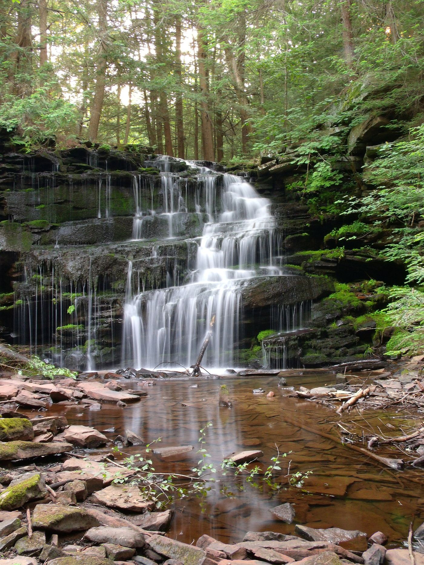
Cole Run Falls is a two-tiered waterfall of about 15 feet in Forbes State Forest, where the stream makes a sharp turn just below the main drop. From the Cole Run Trail parking lot, walk past the first trail sign (the Cole Run Trail turns right there) and continue straight a short way to the top of the falls. A footpath down the right bank (facing downstream) leads to the base; there is no formal trail to the bottom.

Location map; no photo available.

Official state park trail and parking documented

Pennsylvania

Conestoga Falls

Distance from the trailhead to this falls not stated; Conestoga Falls is 0.3 mile upstream of Waters Meet

Conestoga Falls is on the Ganoga Glen branch of Kitchen Creek inside the Glens Natural Area of Ricketts Glen State Park. It is the third named falls in Ganoga Glen counting upstream from Waters Meet. From Lake Rose Trailhead, follow the Falls Trail down the Ganoga Glen side past the upper falls to Conestoga Falls. Return the same way, or follow DCNR's recommended 3.2-mile clockwise loop: Highland Trail to the Glen Leigh side, down to Waters Meet, then up the Ganoga Glen side to Lake Rose. Because it is low in the glen, it can also be reached from the south: DCNR gives 2.0 miles on the Falls Trail from PA 118 to Waters Meet.

Location map; no photo available.

Short marked loop trail from PA 154 near the Worlds End chapel

Pennsylvania

Cottonwood Falls

Roughly half a mile along the Double Run Trail, per PA Bucket List; the whole loop is 1.2 miles

Cottonwood Falls is a small waterfall, about 12 to 13 feet, that drops through a narrow slit in rock walls on Double Run, just outside Worlds End State Park in Loyalsock State Forest. The green-blazed Double Run Nature Trail begins and ends on PA 154 across from the park chapel and follows the west branch of Double Run past small waterfalls and pools. Walk about half a mile along the trail to Cottonwood Falls. Return the same way or complete the loop.

Location map; no photo available.

Official park loop trail and trailhead parking documented

Pennsylvania

Deer Leap Falls

1.4-mile loop past all three waterfalls, per the National Park Service

Deer Leap Falls is the third and lowest of the three waterfalls on Dingmans Creek in George W. Childs Park, part of Delaware Water Gap National Recreation Area. From the lot, a hiking path and an accessible path lead to a bridge where the loop begins. Follow the trail downstream past Factory Falls and the mill ruins, then Fulmer Falls and the stone pavilion, and head downhill to the base of Deer Leap Falls, which pours out from under a footbridge into a large pool. Cross the creek and return up the other side to complete the loop. Footbridges allow a shorter loop.

Location map; no photo available.

Official state park trail and parking documented

Pennsylvania

Delaware Falls

Distance from the trailhead to this falls not stated; Delaware Falls is 0.5 mile upstream of Waters Meet

Delaware Falls is on the Ganoga Glen branch of Kitchen Creek inside the Glens Natural Area of Ricketts Glen State Park. It is the fifth named falls in Ganoga Glen counting upstream from Waters Meet. From Lake Rose Trailhead, follow the Falls Trail down the Ganoga Glen side past the upper falls to Delaware Falls. Return the same way, or follow DCNR's recommended 3.2-mile clockwise loop: Highland Trail to the Glen Leigh side, down to Waters Meet, then up the Ganoga Glen side to Lake Rose. Delaware is a 37-foot slide that is easy to miss despite its size.

Location map; no photo available.

Roadside falls with a parking lot and picnic area

Pennsylvania

Dry Run Falls

Roadside; the falls are steps from the parking lot

Dry Run Falls is a roadside waterfall that spills over layered rock ledges in the Sullivan County part of Loyalsock State Forest. From Route 87 just south of Hillsgrove, turn onto Dry Run Road and drive 2 miles east. A large parking lot and picnic area are beside the falls, which are visible from the road. In low water you can cross the stream below the falls for other views.

Location map; no photo available.

Loyalsock Trail and marked spur from a parking area

Pennsylvania

Dutchman Falls

0.3 miles one way, per PA Bucket List

Dutchman Falls is a 27-foot, two-tiered falls on Dutchman Run near the eastern end of the Loyalsock Trail. From the parking area on Mead Road, walk to the back of the lot behind the restrooms to the Loyalsock Trailhead. Hike downhill 0.2 miles to the old Williamsport and North Branch railroad bed, turn right on the blue-blazed Dutchman Falls Spur Trail for about 50 yards along the railbed and across Dutchman Run, then turn left into the forest to the base of the falls. Return the same way, uphill.

Location map; no photo available.

Partial guide: unmarked pull-off and footpath on state forest land

Pennsylvania

East Branch Falls

About 50 yards to the top of the falls

East Branch Falls is a 25-foot waterfall cutting through solid rock on the East Branch of Mill Creek in Loyalsock State Forest, about 4 miles west of Hillsgrove. From Hillsgrove, take Mill Creek Road (dirt) west about 4 miles, turn right on Bear Wallow Road and immediately left on Walker Road, and drive 0.8 mile to an unmarked parking area on the stream side of the road. Walk down the hill to the top of the falls, then carefully follow the footpath downstream to the base. This partial guide relies on one visitor account; the parking area and path are unmarked.

Location map; no photo available.

Partial guide: route includes an unmarked off-trail section

Pennsylvania

Emerald Falls

About 0.8 mile each way, including about 0.25 mile off trail

Emerald Falls, also called Carolyn's Falls locally, is a 15-foot falls on Swamp Run in the Sullivan County part of Loyalsock State Forest. From the parking area, follow the yellow-blazed Browns Trail, an old road grade, for 0.3 mile until it bears right (southwest), near 41.48963, -76.73248. Leave the trail and head left (northeast) downhill off trail past a large mossy boulder to an old road grade above Swamp Run. Turn right and follow the grade downstream for 0.25 mile, with one small wet crossing, to the falls at 41.48983, -76.72446. Return the same way.

Location map; no photo available.

Official Falls Trail from Lake Rose Trailhead; distance to this falls not given

Pennsylvania

Erie Falls

Out-and-back or loop on the Falls Trail; no direct distance to Erie Falls is given

Erie Falls, 47 feet, is the last waterfall in Ganoga Glen in Ricketts Glen State Park, above Waters Meet. From Lake Rose Trailhead, follow the Falls Trail down Ganoga Glen past nine other named falls, including Ganoga and Tuscarora, to Erie Falls. Return the same way, or make the 3.2-mile loop that DCNR describes by taking the Highland Trail and the Glen Leigh side.

Location map; no photo available.

Pennsylvania

Factory Falls

About 0.4 mile one way to the first viewing area

Use the accessible section from the park lot to Factory Falls and the nearby mill ruins.

Location map; no photo available.

Partial guide: last stretch follows the stream without a marked trail

Pennsylvania

First Falls

About 1.4 miles one way, per PA Bucket List

The First Falls is the lowest and largest of the numbered waterfalls on Dutchmans Run in the McIntyre Wild Area of Loyalsock State Forest, about 30 feet tall. From the back of the DCNR lot in Ralston, walk the flat former railroad grade north with Lycoming Creek on your left; the grade is state forest land, though it passes behind a private home. Pass under power lines at about 0.5 mile and a stone foundation at about 1.1 miles, and follow the grade to Dutchmans Run. Walk upstream on the left bank (facing downstream) about 150 yards and over a rise to the falls. This partial guide relies on one visitor account; the last stretch follows the stream without a marked trail.

Location map; no photo available.

Official state park loop trail and parking documented

Pennsylvania

Frankfort Mineral Springs

Under 10 minutes each way along the creek; full loop 1.2 miles (DCNR)

Frankfort Mineral Springs is a U-shaped sandstone and shale grotto in Raccoon Creek State Park where an 8 to 10-foot waterfall spills over the rim and mineral springs emerge from the rock opposite the falls. Ruins of an 1800s resort stand above. From the PA 18 parking area, follow the white-blazed Mineral Springs Loop Trail along the creek to the grotto. Return the same way, or continue around the loop past the old foundations and back down along the stream to the lot.

Location map; no photo available.

Approach or parking partly unconfirmed

Pennsylvania

Freedom Falls

About 150 yards outward, per firsthand photographer

Photographer Rusty Glessner describes the well-worn path downhill from Rockland Station Road to Freedom Falls on Shull Run. His published waterfall coordinates match the assigned Venango County feature. Ownership and current permission require confirmation before using this approach.

Location map; no photo available.

Pennsylvania

Fulmer Falls

1.4-mile full loop

Continue downstream from Factory Falls to Fulmer Falls. The full loop also passes Deer Leap Falls.

Location map; no photo available.

State park trail and parking documented

Pennsylvania

Gregg Falls

About 1.2 miles round trip

Gregg Falls, more often called Pioneer Falls, is a seasonal 15 to 20-foot falls in the southern part of Oil Creek State Park. A sign beside the falls names it Gregg Falls. From the small parking area on Pioneer Road, cross the road and take the yellow-blazed Gerard Trail to the right (as you face farther down Pioneer Road). The trail winds through woods past an old wooden oil tank and reaches a small footbridge over the top of the falls, with a bench nearby. Reaching the base from here is not recommended. Return the same way.

Location map; no photo available.

National Park Service trail from Raymondskill Road

Pennsylvania

Hackers Falls

0.8 mile each way, 1.6 miles out and back, per PA Bucket List

Hackers Falls is a fan-shaped waterfall, about 20 feet, on Raymondskill Creek in the Cliff Park area of Delaware Water Gap National Recreation Area. The Hackers Trail begins across the street from the lower Raymondskill Falls parking lot on Raymondskill Road. Follow the yellow blazes through hardwood forest and hemlock ravines. The trail crosses other trails, including the Cliff Trail, so stay on the yellow-blazed Hackers Trail. The first views of the falls are from downstream; the trail continues up beside the creek for closer views. Return the same way.

Location map; no photo available.

State park trail from the Glens Lot on PA 118

Pennsylvania

Harrison Wright Falls

DCNR: 1.5 miles to Murray Reynolds Falls and 2.0 miles from PA 118 to Waters Meet; this falls is between them

Harrison Wright Falls drops 27 feet on Kitchen Creek in Ricketts Glen, the glen below Waters Meet. From the Glens Lot Trailhead on PA 118, walk north on the Falls Trail along Kitchen Creek. Harrison Wright Falls is the third falls upstream from PA 118, just below Waters Meet. Return the same way, or continue to Waters Meet and up Ganoga Glen or Glen Leigh for the 7.2-mile loop that DCNR describes.

Location map; no photo available.

Official state park trail and roadside trailhead parking documented

Pennsylvania

Hawk Falls

About half a mile from the parking area to the top of the falls, per Uncovering PA

Hawk Falls is a 25-foot waterfall on Hawk Run in Hickory Run State Park, just above its meeting with Mud Run. From the parking area on PA 534, walk about 100 feet up the road toward the highway overpass to the trailhead at the guardrail where PA 534 crosses Hawk Run. The yellow-blazed trail runs mostly downhill through rhododendron and crosses Hawk Run on a wooden bridge. A little past the bridge, a rock outcrop about 20 feet off the trail on the right gives a view from the top of the falls. For a view from below, continue to Mud Run and take the unmarked worn path to the right.

Location map; no photo available.

Partial guide: unsigned trailhead and unofficial footpath

Pennsylvania

Hector Falls

About 1 mile each way (PA Bucket List figure)

Hector Falls is an 18 to 20-foot falls in a small rock grotto in Allegheny National Forest, Warren County. From the parking area, walk past the gate and follow the pipeline access road. At a fork 0.6 mile in, stay left. Where the road ends at the pipeline, take the footpath to the right for the last 0.3 mile. The path has no paint blazes but carries white diamond-shaped arrow markers. It reaches the top of the falls; work counterclockwise down around the boulders to the base. Return the same way.

Location map; no photo available.

Easy official trail from the Hells Hollow parking lot

Pennsylvania

Hells Hollow Falls

DCNR lists the Hells Hollow Trail as 0.5 mile, out-and-back

Hells Hollow Falls is on Hell Run in McConnells Mill State Park. From the Hells Hollow parking lot, follow the yellow-blazed Hells Hollow Trail, crossing Hell Run on footbridges, past an old lime kiln to the falls. The main trail is smooth and level, but the section by the waterfall can be slippery. The blue-blazed Slippery Rock Gorge Trail splits off just before the second footbridge; stay on the Hells Hollow Trail for the falls. Return the same way.

Location map; no photo available.

County park trail from the parking area

Pennsylvania

High Falls

A few minutes to the boulder field, then about 5 minutes more to High Falls; no distance is published

High Falls is a falls of about 15 feet on High Falls Creek in Ringing Rocks Park, a Bucks County park; Visit Bucks County calls it the largest waterfall in the county. From the parking area, follow the flat trail a few minutes to the boulder field. Take the trail to the right about 5 minutes more to High Falls, where water slides over a large, smooth slab of rock. It flows well only after significant rain and can dry up in summer.

Location map; no photo available.

Partial guide: official trail; trailhead parking not confirmed; seasonal flow

Pennsylvania

High Rock Falls

About 0.3 mile one way, per PA Bucket List

High Rock Falls is the only waterfall inside Worlds End State Park, on High Rock Run, a small stream that dries up in dry weather. The red-blazed High Rock Trail starts at the east side of the Cabin Bridge near the park office and climbs steeply, crossing High Rock Run, on its way to High Rock Vista. The falls are on this climb. Visit after the spring thaw or heavy rain for good flow. This partial guide does not confirm where to park for the trailhead.

Location map; no photo available.

Official state park trail and trailhead parking documented; steep and slippery

Pennsylvania

Huron Falls

Distance to this fall not stated; the first waterfall is about 1 mile from Beach Lot #2

Huron Falls, 41 feet, is on the Glen Leigh branch of Kitchen Creek in Ricketts Glen State Park. From Beach Lot #2 at the end of the main park road, follow the signs out of the lot and down the trail beside the cabin road, past a park gate, and turn right at the first intersection onto the Falls Trail. Continue down the Glen Leigh side to Huron Falls. Hikers starting at Lake Rose Trailhead can reach Glen Leigh by the Highland Trail. The park suggests a 3.2-mile loop of the Highland Trail, the Glen Leigh side and the Ganoga Glen side to see most of the waterfalls.

Location map; no photo available.

Named State Game Lands trail with wet, cable-assisted stream crossings

Pennsylvania

Jarrett Falls

About 1.8 miles one way, per Uncovering PA

Jarrett Falls is a tiered falls of about 15 feet on Roaring Run in State Game Lands 53, southwest of McConnellsburg. From the parking area at the end of the road by the Meadow Grounds Lake dam, cross to the west side of the dam. Near the flood spillway, a stone marker shows the start of the Jarrett Trail; turn left, cross the spillway and follow the trail downstream along Roaring Run. After about half a mile, at a clearing, cross the footbridge over Roaring Run and continue down the left bank (facing downstream). Cross a second bridge, then make two wet crossings: the first has a chained ladder up the far bank, and at the second, where the trail seems to end at a large rock, steel cables help the descent and the crossing. Continue downstream to the top of the falls. Reaching the base needs a risky crossing above the falls and is not recommended. Return the same way.

Location map; no photo available.

Official state park trail and parking area documented

Pennsylvania

Kildoo Falls

A short walk on the Kildoo Trail from the covered bridge; the full Kildoo Trail loop is 3.0 miles

Kildoo Falls is a thin waterfall that drops off a cliff under the Kildoo Bridge, near the historic gristmill and covered bridge in McConnells Mill State Park. Park at the Kildoo Picnic Area above the mill and go down to the covered bridge by the stone stairs or the steep, narrow one-way road. Take the Kildoo Trail south along the east bank of Slippery Rock Creek; the easier east-bank section reaches the falls. Return the same way, or continue the loop across Eckert Bridge and back on the North Country Trail along the west bank. Flow is best after heavy rain.

Location map; no photo available.

Game lands forest road route and parking documented

Pennsylvania

Laquin Falls

1.6-mile out-and-back hike for the whole trail, which ends at Laquin Falls

Laquin Falls is a 15-foot falls on Falls Creek in State Game Lands 36, named for the former lumber town of Laquin. The Bradford Falls Trail starts 150 yards west of the parking lot, where an old unblazed forest road leaves Schrader Creek Road. Follow the forest road steadily uphill. Side paths lead down to 70-foot Bradford Falls and 30-foot Barclay Falls. Continue up the forest road to a low stone wall across the road, which marks the top of the trail. Laquin Falls is to the right; an old mine shaft used as a bat habitat is to the left. Do not enter the cave. Return down the forest road.

Location map; no photo available.

Partial guide: trail inside a private park; exact match of Laurel Glen to this listing not confirmed

Pennsylvania

Laurel Glen Falls

The Yellow Trail takes about 45 minutes; no distance is given

Laurel Glen Falls is one of the waterfalls inside Bushkill Falls, a private park that charges admission. The park says its Yellow Trail views the Main Falls, Lower Gorge Falls, Laurel Glen and Upper Canyon in about 45 minutes. Go Waterfalling captions a photo of Laurel Glen as above the main falls. The longer Red Trail also passes all eight falls in the park. The park names Laurel Glen, not Laurel Glen Falls, and no source gives its position, so the match to this listing is probable but not confirmed.

Location map; no photo available.

Partial guide: part of the approach is an unblazed path between the Ketchum Run Trail and the Loyalsock Trail

Pennsylvania

Lee's Falls

About 1.46 miles one way, per PA Bucket List

Lee's Falls is on Ketchum Run in the Ketchum Run Gorge of Loyalsock State Forest. From the parking area on High Knob Road, start at the gated road on the blue- and yellow-blazed Ketchum Run Trail. At locator post 18, about 0.55 miles in, bear left and then follow an unblazed but obvious path to the right, before Ketchum Run; do not cross the stream. Continue down the same side of Ketchum Run past Right Angle Falls and Ketchum Run Falls to the Loyalsock Trail, then follow the Loyalsock Trail downstream. Where the Loyalsock Trail turns hard right uphill, Lee's Falls is on the stream just below; it is easiest to see from the side, just off the trail. Return the same way.

Location map; no photo available.

Trail inside a private park; admission charged; closed December through March

Pennsylvania

Lower Bridesmaid's Falls

Part of the Red Trail, below Bridal Veil Falls; no separate distance is given

Lower Bridesmaid Falls is a small waterfall on Pond Run Creek downstream of Bridal Veil Falls inside Bushkill Falls, a private park that charges admission. Enter the park, take the stairs and trails to the base of the main falls, then follow the Red Trail up along Pond Run. This falls is passed before Bridal Veil Falls. Sources name two Bridesmaid Falls on Pond Run, one above and one below Bridal Veil; this listing is the downstream one by position. Waterfall Record gives about 18 feet for its Bridesmaid Falls #1. Continue on the Red Trail loop or return the way you came.

Location map; no photo available.

Private park with paid admission and marked trails

Pennsylvania

Lower Gorge Falls

Yellow Trail loop takes about 45 minutes; distance not stated

Lower Gorge Falls is one of eight waterfalls at Bushkill Falls, a privately owned park with paid admission near Bushkill. From the park entrance, follow the Yellow Trail, which passes the Main Falls, Lower Gorge Falls, Laurel Glen and Upper Canyon. All the park trails involve steps and stairways. Staff can advise which trail suits your abilities.

Location map; no photo available.

Partial guide: official trail to the lower falls; match to this listing is by name and description only

Pennsylvania

Lower Indian Ladder Falls

1 mile each way, per the National Park Service

The National Park Service says the Hornbecks Creek Trail is known to some locals as Indian Ladders. The lower trail follows an old roadbed along Hornbecks Creek to a short waterfall framed by symmetrical cliffs and a round plunge pool. This listing appears to be that lower waterfall; no source gives its coordinates, so the match is probable but not confirmed. From US 209 at mile marker 10.4, just south of Chestnut Hill Road, take the short gravel drive to the trailhead and walk the trail 1 mile to the falls. The trail section beyond the lower falls to the upper waterfall is closed because the hillside has slid; the upper falls are reached from a separate trailhead. Return the same way.

Location map; no photo available.

Partial guide: a short streamside walk with no named or marked trail described

Pennsylvania

Lower Middle Branch Falls

A 5 to 10 minute walk downstream from the bridge, per PA Bucket List; no distance is published

Lower Middle Branch Falls is the lower and taller of a pair of falls on the Middle Branch of Mill Creek in Loyalsock State Forest, west of Hillsgrove. From the parking area next to the Camels Road bridge, walk downstream along the creek. Upper Middle Branch Falls, a staircase-like falls over a copper-colored pool, comes first; Lower Middle Branch Falls, the taller of the two, is just below it. For a clear view, PA Bucket List describes getting close in the streambed, where rocks are slippery. Return the same way.

Location map; no photo available.

Official park rail trail and access area documented; short level walk

Pennsylvania

Lukes Falls

About 0.25 to 0.3 mile one way on the rail trail

Luke's Falls is a series of drops down the wall of the Lehigh River gorge, next to the rail trail just downstream of the Rockport Access in Lehigh Gorge State Park. From the Rockport Access, go down to the rail trail (part of the D&L Trail) and walk south, downstream, past the parking area to the first bridge, which carries a sign naming the falls. An old round stone structure stands beside the falls. Foliage hides much of the falls in summer; the view is clearer in winter and early spring. There are no designated trails to the upper drops.

Location map; no photo available.

County park with accessible boardwalk to the falls

Pennsylvania

Marshalls Creek Falls

A few hundred feet on a raised boardwalk

Marshalls Creek Falls, usually called Marshalls Falls or Marshall's Falls, is a 20-foot falls that drops through a narrow rock chasm into a small gorge with tall rock walls, inside a 17-acre Monroe County park near East Stroudsburg. From the paved parking area, follow the raised ADA-accessible boardwalk to the observation area at the base. A bridge over Marshalls Creek gives a partial downstream view. A steeper path climbs the hill on the right bank (facing downstream) through a narrow cut in the rock to a view from above; that path is not accessible. Use great care near the edge above the falls.

Location map; no photo available.

Short blazed trail from a forest road pull-off

Pennsylvania

Mill Creek Falls

200 yards downhill to the top of the falls

Mill Creek Falls is a 12-foot waterfall in a rocky grotto on Mill Creek, a tributary of Loyalsock Creek near Hillsgrove in Loyalsock State Forest. From Route 87 in Hillsgrove, turn onto Mill Creek Road, a dirt forest road, and drive 1.5 miles to an unmarked but obvious parking area on the right. Look for the trailhead with a faint yellow blaze and an Area Closed to Camping sign, and follow the trail downhill 200 yards to the top of the falls. Return the same way. The falls is a popular swimming hole in summer.

Location map; no photo available.

State park trail from the Lake Rose Trailhead

Pennsylvania

Mohawk Falls

0.4 miles one way to the first waterfall, per DCNR

Mohawk Falls is the first named waterfall on the Ganoga Glen side of the Falls Trail, a drop followed by a long slide. From the Lake Rose Trailhead, follow the Falls Trail down into Ganoga Glen. The trail continues downstream past Oneida, Cayuga and the 94-foot Ganoga Falls. Return the same way, or make the 3.2-mile loop that DCNR describes with the Highland Trail and the Glen Leigh side.

Location map; no photo available.

Official state park trail and trailhead parking documented; steep and slippery

Pennsylvania

Mohican Falls

Distance to this fall not stated; the Ganoga Glen side of the Falls Trail is 1.2 miles

Mohican Falls, 39 feet, is one of the waterfalls on the Ganoga Glen branch of Kitchen Creek in Ricketts Glen State Park. From Lake Rose Trailhead, follow the Falls Trail down the Ganoga Glen side. The park's trail guide map shows Mohican Falls below Ganoga Falls (94 feet), Seneca Falls and Delaware Falls, toward the lower end of Ganoga Glen above Waters Meet. The park suggests a 3.2-mile loop of the Highland Trail, the Glen Leigh side and the Ganoga Glen side to see most of the waterfalls.

Location map; no photo available.

Official state park trail, parking and distance documented

Pennsylvania

Murray Reynolds Falls

About 1.5 miles each way from the PA 118 lots (DCNR figure)

Murray Reynolds Falls is a 16-foot chute on Kitchen Creek below Waters Meet, in the lower part of the Glens Natural Area of Ricketts Glen State Park. It is the first DCNR-named falls reached when hiking north on the Falls Trail from PA 118. From the Evergreen or Glens Lot parking, follow the Falls Trail north along Kitchen Creek through old-growth forest to the falls. Return the same way, or continue 0.5 mile to Waters Meet and the falls in both glens above it.

Location map; no photo available.

City park trail to a railed viewing platform

Pennsylvania

Nay Aug Falls

About a quarter mile round trip to the main viewing platform, per Uncovering PA

Nay Aug Falls is a falls of about 15 to 20 feet on Roaring Brook at the north end of Nay Aug Gorge in Nay Aug Park, Scranton's largest city park. Park in the lot just past the Everhart Museum and the Brooks Coal Mine. Take the Davis Trail at the far end of the lot and turn right on the overlook trail, which heads down into the gorge to a railed viewing platform on the west side of Roaring Brook. Stay behind the railing; the rocks near the top of the falls are slippery and people have been seriously hurt or killed here. A second viewpoint on the opposite cliff is reached by returning to the Davis Trail, turning right, then right on the Rodman Trail across a covered bridge.

Location map; no photo available.

Partial guide: falls are off trail and not named in the sources

Pennsylvania

Old Bark Falls

Short walk from the pull-off; distance not stated

This listing appears to be the unnamed 15-foot falls just off the Old Bark Trail in Loyalsock State Forest, near Hillsgrove; published descriptions do not use the name Old Bark Falls. From the Dry Run Falls pull-off, walk down the road and turn right onto the Old Bark Trail, a yellow-blazed old forest road. The falls are on the creek to the left, off the trail. Leave the trail and walk up the creek to reach them. Return the same way.

Location map; no photo available.

State park trail from the Lake Rose Trailhead

Pennsylvania

Oneida Falls

0.4 miles to the first waterfall (Mohawk), per DCNR; Oneida is the next falls downstream

Oneida Falls is a 13-foot plunge in Ganoga Glen. From the Lake Rose Trailhead, follow the Falls Trail down into Ganoga Glen to Mohawk Falls, the first waterfall, and continue downstream to Oneida Falls, the next one. Cayuga and Ganoga Falls are farther down. Return the same way, or make the 3.2-mile loop that DCNR describes with the Highland Trail and the Glen Leigh side.

Location map; no photo available.

Official state park trail and parking documented

Pennsylvania

Onondaga Falls

About 1 mile from Beach Lot #2

Onondaga Falls is on the Glen Leigh branch of Kitchen Creek inside the Glens Natural Area of Ricketts Glen State Park. It is the eighth and last named falls in Glen Leigh counting upstream from Waters Meet. From Beach Lot #2, follow signs down the trail beside the cabin road to the Glen Leigh side of the Falls Trail, then descend along the glen to Onondaga Falls. Return the same way, or follow DCNR's recommended 3.2-mile clockwise loop from Lake Rose Trailhead: Highland Trail to the Glen Leigh side, down to Waters Meet, then up the Ganoga Glen side. Onondaga is a 15-foot falls and the first one reached from Beach Lot #2.

Location map; no photo available.

Private attraction with paid admission; marked trails

Pennsylvania

Pennell Falls

About 1 hour 15 minutes for the Blue Trail, per Bushkill Falls; no distance is published

Pennell Falls is a small waterfall inside the private Bushkill Falls attraction. After paying admission, take the Blue Trail, a walk of about 1 hour 15 minutes, which reaches the Pennell Falls view. Go Waterfalling describes a loop from the top of the Main Falls down the stairs to the base, out to Bridal Veil Falls, then to Pennell Falls and back through the gorge. The Red Trail of almost 2 miles passes all eight falls.

Location map; no photo available.

Partial guide: final approach is off-trail on state game lands

Pennsylvania

Pigeon Run Falls

0.6 mile to Pigeon Run, then a few hundred yards off-trail downhill

Pigeon Run Falls is a 20-foot drop where Pigeon Run spills into Sullivan Branch in State Game Lands 13. From the Sullivan Falls parking area, follow the worn footpath about 400 feet downhill to Big Run and rock-hop across (there is no bridge). Follow the old forest road about 0.3 mile to a fork, take the lower left fork about another 0.3 mile to Pigeon Run, cross the stream, and bushwhack downhill a few hundred yards to the falls. This partial guide relies on one visitor account; the last stretch has no trail. Several smaller waterfalls lie upstream, but the upper stream runs onto posted private land.

Location map; no photo available.

County park trail, bridge and accessible viewing platforms

Pennsylvania

Quakertown Falls

Short walk from the parking lot to the viewing platforms

Quakertown Falls, now called Quaker Falls, is a 50-foot, two-tier waterfall on Falling Spring Creek, the centerpiece of Lawrence County's Quaker Falls Recreation Area. From the parking lot, a crushed stone trail crosses a pedestrian bridge directly above the falls and continues on the PA 224 side to two accessible viewing platforms. In the other direction, past the pavilion, the trail descends into the gorge by stairs and platforms to a viewing platform at the base. Interpretive signs along the trail tell the history of the vanished village of Quakertown.

Location map; no photo available.

Official state park trail and parking documented

Pennsylvania

R.B. Ricketts Falls

Distance from the trailhead to this falls not stated; it is 0.24 mile upstream of Waters Meet

R.B. Ricketts Falls is on the Glen Leigh branch of Kitchen Creek inside the Glens Natural Area of Ricketts Glen State Park. It is the third named falls in Glen Leigh counting upstream from Waters Meet. From Beach Lot #2, follow signs down the trail beside the cabin road to the Glen Leigh side of the Falls Trail, then descend along the glen to R.B. Ricketts Falls. Return the same way, or follow DCNR's recommended 3.2-mile clockwise loop from Lake Rose Trailhead: Highland Trail to the Glen Leigh side, down to Waters Meet, then up the Ganoga Glen side. R. B. Ricketts is a 36-foot falls.

Location map; no photo available.

Partial guide: last part is off trail along the stream

Pennsylvania

Rusty Run Falls

Approximately 2.5 miles round trip

Rusty Run Falls, also called Rusty Falls, is in Loyalsock State Forest near Eagles Mere. Private property blocks the closer approach, so the route starts from Shanerburg Road. Walk past the gate and follow the old dirt road, part of the bridle trail system, for about 1.2 miles, staying straight where a trail branches right about half a mile in. Where the road meets Rusty Run, do not cross. Turn right and walk upstream through open forest, keeping the stream on your left, for a couple of hundred yards to the falls. There is no official trail for this last part. Return the same way.
Location map; no photo available.

Partial guide: the last 50 yards to the base are off trail

Pennsylvania

Salvatore Falls

Roughly a third of a mile one way, per PA Bucket List

Salvatore Falls is a multi-tiered falls of about 25 feet, with an upper tier of about 15 feet, on State Game Lands 91. From the large gravel lot on Bald Mountain Road, walk around the gate at the back of the lot and follow the game lands road north for about 5 minutes. Cross the bridge and walk down into the open woods; the top of the falls is visible almost at once. To reach the base, go about 50 yards off trail down the embankment. Return the same way.
Location map; no photo available.

Partial guide: off-trail scramble above the First Falls

Pennsylvania

Second Falls

About 1.4 miles to the First Falls, then a short off-trail climb around it

The Second Falls is a 6 to 7 foot drop on Dutchmans Run between the larger First and Third Falls in the McIntyre Wild Area. Follow the route to the First Falls: the old railroad grade north from the DCNR lot in Ralston to Dutchmans Run, then upstream about 150 yards. To get above the First Falls, the visitor account suggests staying on the left bank (facing downstream), backtracking slightly, climbing up and around, and coming back down the bank above the falls. This partial guide relies on one visitor account; the approach above the First Falls is an off-trail scramble.

Location map; no photo available.

Official state park trail and parking documented

Pennsylvania

Seneca Falls

Distance from the trailhead to this falls not stated; Seneca Falls is a little more than 0.5 mile upstream of Waters Meet

Seneca Falls is on the Ganoga Glen branch of Kitchen Creek inside the Glens Natural Area of Ricketts Glen State Park. It is the sixth named falls in Ganoga Glen counting upstream from Waters Meet. From Lake Rose Trailhead, follow the Falls Trail down the Ganoga Glen side past the upper falls to Seneca Falls. Return the same way, or follow DCNR's recommended 3.2-mile clockwise loop: Highland Trail to the Glen Leigh side, down to Waters Meet, then up the Ganoga Glen side to Lake Rose. Seneca is a 12-foot slide just below 94-foot Ganoga Falls and is easy to miss.

Location map; no photo available.

Official Falls Trail from Beach Lot #2; distance to this falls not given

Pennsylvania

Shawnee Falls

DCNR gives about 1 mile from Beach Lot #2 to the closest waterfall; Shawnee is the third falls down

Shawnee Falls, 30 feet, is in Glen Leigh in Ricketts Glen State Park. From Beach Lot #2, follow the signed trail beside the cabin road, past a park gate, and go right at the first intersection to reach the Falls Trail at the top of Glen Leigh. Descend past Onondaga and F.L. Ricketts Falls to Shawnee Falls. Return the same way, or make the 3.2-mile loop that DCNR describes from Lake Rose Trailhead using the Highland Trail and both glens.

Location map; no photo available.

State park trail from the Glens Lot on PA 118

Pennsylvania

Sheldon Reynolds Falls

DCNR: 1.5 miles to Murray Reynolds Falls and 2.0 miles from PA 118 to Waters Meet; this falls is between them

Sheldon Reynolds Falls drops 36 feet on Kitchen Creek in Ricketts Glen, the glen below Waters Meet. From the Glens Lot Trailhead on PA 118, walk north on the Falls Trail along Kitchen Creek. Sheldon Reynolds Falls is the second falls upstream from PA 118, between Murray Reynolds Falls and Harrison Wright Falls. Return the same way, or continue to Waters Meet and up Ganoga Glen or Glen Leigh for the 7.2-mile loop that DCNR describes.

Location map; no photo available.

Game lands roadside falls with parking documented

Pennsylvania

Springfield Falls

Less than a minute's walk to the ravine edge

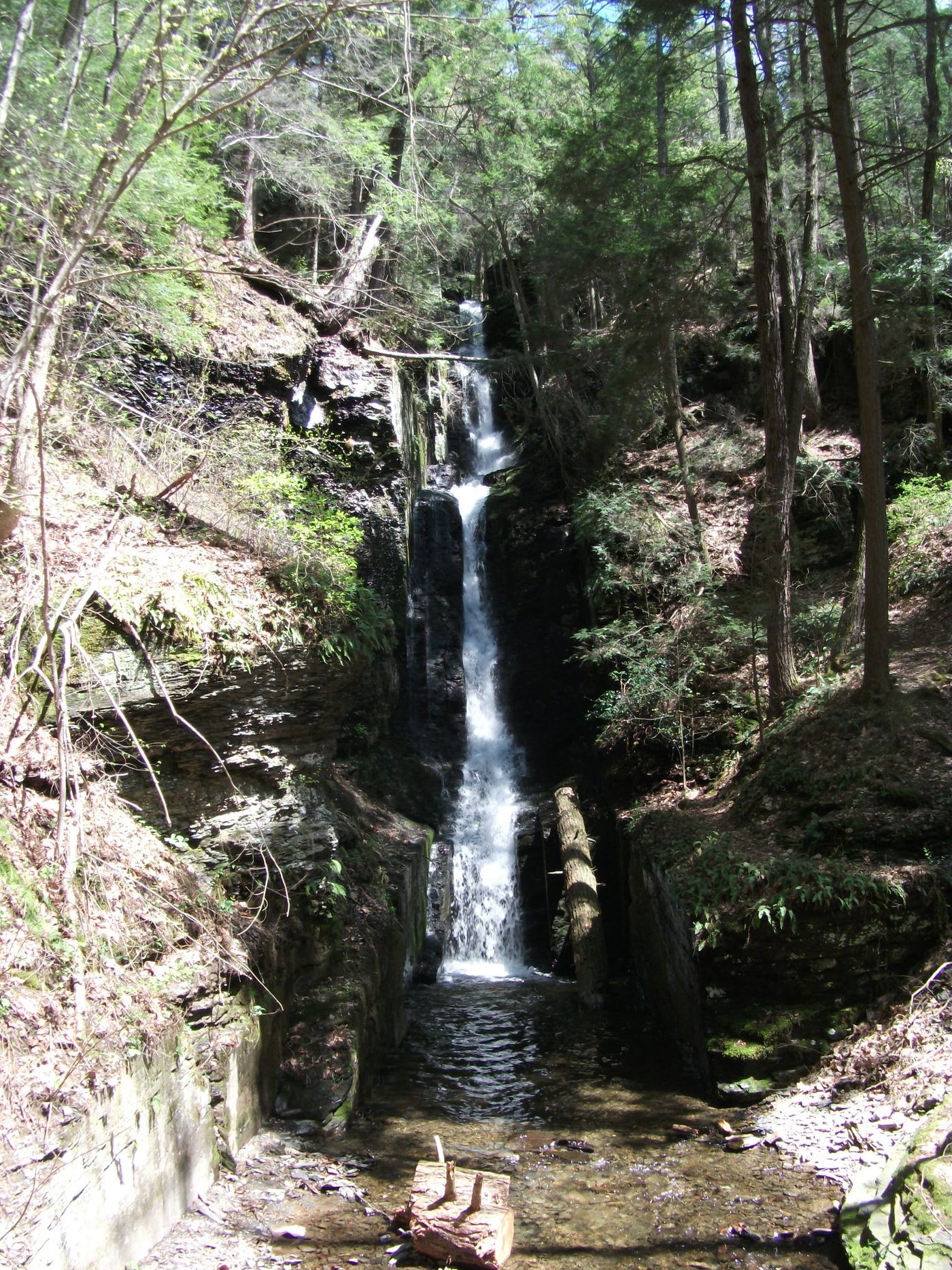
Springfield Falls, also called Leesburg Falls, is a falls about 20 feet high and 40 feet wide on State Game Lands 284, about 3 miles west of Grove City. From the dirt parking area on the south side of Falls Road, cross the road and follow the short path to the top of the falls at the ravine edge. Use caution at the edge; reaching the stream below means climbing down a steep bank. The Cobblehaus Brewing taphouse on the west bank also overlooks the falls during its business hours.

Location map; no photo available.

State park trails and the Great Allegheny Passage

Pennsylvania

Sugar Run Falls

Jonathan Run Trail (DCNR lists it as 1.6 miles, out-and-back), then a few minutes on the GAP and under a minute on the side trail

Sugar Run Falls is in Ohiopyle State Park, on the side trail between the Great Allegheny Passage (GAP) and Mitchell Field; DCNR says the Eelah Trail passes it. A separate Lower Sugar Run Falls is just below the GAP bridge over Sugar Run. From the Jonathan Run Trail trailhead on Holland Hill Road, follow the white-medallion trail as it crisscrosses Jonathan Run, past several small waterfalls, to the GAP. Turn left on the GAP and walk a few minutes to a small trail on the left with a marker for Mitchell Field. The falls is less than a minute up this trail. Return the same way. Cyclists can reach the same side trail from the GAP, roughly three miles upstream of the town of Ohiopyle.
Location map; no photo available.

Partial guide: short user path on State Game Lands; no marked trail

Pennsylvania

Sullivan Falls

375 feet to the top of the falls, per PA Bucket List

Sullivan Falls is a 35-foot falls on State Game Lands 13, about 2 miles west of Ricketts Glen State Park. From PA 487 just north of Ricketts Glen, turn onto Sullivan Falls Road and drive 2.1 miles to the parking area marked by a boulder engraved with the name. A well-worn path leads 375 feet to a partly tree-screened view from the top of the falls. For a stream-level view, follow the obvious switchback path down the bank, which is slippery in all seasons. Return the same way.
Location map; no photo available.

Short signed trail and parking documented

Pennsylvania

Table Falls

About 60 yards (PA Bucket List: 50 yards plus 10 yards)

Table Falls is a 5 to 6-foot falls on Paige Run in the Elk County part of the Quehanna Wild Area, named for the large slab of rock it flows over. From the parking lot on the far side of the Red Run Road bridge, take the trail that starts beside the Table Falls sign at the back of the lot. Go 50 yards down along Paige Run to the Grotto, a cascade just above the falls, then 10 yards farther down the stream to Table Falls. Return the same way.
Location map; no photo available.

Partial guide: off-trail scramble in a narrow gorge

Pennsylvania

Third Falls

About 1.4 miles to the First Falls, then a short off-trail climb upstream

The Third Falls is a two-tiered waterfall of about 20 feet in a tight gorge on Dutchmans Run, just upstream of the small Second Falls in the McIntyre Wild Area. Follow the railroad grade north from the DCNR lot in Ralston to Dutchmans Run and walk upstream to the First Falls. Climb up and around the First Falls on the left bank (facing downstream), come back down above it, and continue upstream past the Second Falls. This partial guide relies on one visitor account; the approach above the First Falls is an off-trail scramble in a narrow gorge.

Location map; no photo available.

Partial guide: about a quarter mile of the approach is off trail

Pennsylvania

Triple Falls

0.7 miles one way, per PA Bucket List

Triple Falls is a 25-foot, three-tiered falls on Swamp Run in Loyalsock State Forest, 0.4 miles upstream of Emerald Falls. From the parking area at Bear Wallow Road and Slab Run Road, follow the yellow-blazed Browns Trail, an old road grade, for 0.3 miles to where it bears right (southwest). Leave the trail to the left (northeast) for about 0.25 miles off trail, past a large moss-covered boulder and downhill to a road grade above Swamp Run. Turn left (upstream) on the road grade for 0.15 miles to a spot above the falls, where you can descend the bank to the base. Return the same way.
Location map; no photo available.

Official loop trail and trailhead documented; steep steps to the falls

Pennsylvania

Tumbling Waters

About 1.5 miles along the loop to the waterfall spur; the full loop is 2.8 to 3.01 miles

Tumbling Waters is a waterfall in a hemlock ravine on the Tumbling Waters Trail at the Pocono Environmental Education Center (PEEC), inside Delaware Water Gap National Recreation Area. The orange-blazed loop starts with the Fossil Trail about 30 yards up the campus road, across from the group lodges. After about a mile it reaches the Hermits Hill overlook of the Delaware Valley. At about 1.5 miles, switchbacks and wooden steps lead down to the falls; the upper falls are seen from the bottom of the steps and the lower falls only from above. Climb back up and continue the loop past Pickerel Pond to the campus.

Location map; no photo available.

Partial guide: named trail and park address only; distance and parking not described

Pennsylvania

Turtle Falls

Distance not stated

Turtle Falls is a 15-foot falls at the back of the Lorain/Stonycreek Hiking Trails system, a few minutes from downtown Johnstown. Visit Johnstown says the Pathway to the Falls Trail leads to the falls. The exact trailhead within the park, the trail length and the trail conditions are not published, and the exact position of the falls is not published.

Location map; no photo available.

Official Falls Trail from Lake Rose Trailhead; distance to this falls not given

Pennsylvania

Tuscarora Falls

Out-and-back or loop on the Falls Trail; no direct distance to Tuscarora Falls is given

Tuscarora Falls, 47 feet, is near the bottom of Ganoga Glen in Ricketts Glen State Park. From Lake Rose Trailhead, follow the Falls Trail down Ganoga Glen past Mohawk, Oneida, Cayuga, Ganoga, Seneca, Delaware, Mohican and Conestoga Falls to Tuscarora Falls. Erie Falls, the last in the glen, is just below. Return the same way, or make the 3.2-mile loop that DCNR describes by taking the Highland Trail and the Glen Leigh side.

Location map; no photo available.

Partial guide: roadside view only; falls on private property; no parking area

Pennsylvania

Twin Falls

Roadside; no walk

Twin Falls is a small waterfall, about 15 feet, near East Stroudsburg. The falls are on private property, and the only described view is from the public road. From US 209 north of I-80, turn onto Twin Falls Road; the falls are on the right as you cross the first bridge. This partial guide relies on one visitor account: there is no parking area, and the exact viewing spot is not confirmed. Do not enter the property.

Location map; no photo available.

Trail inside a private park; admission charged; closed December through March

Pennsylvania

Upper Bridesmaid's Falls

Part of the Red Trail; Bridal Veil Falls is about half a mile from the base of the main falls and this falls is a short distance upstream

Upper Bridesmaid Falls is a small waterfall on Pond Run Creek just upstream of Bridal Veil Falls inside Bushkill Falls, a private park that charges admission. Enter the park, take the stairs and trails to the base of the main falls, then follow the Red Trail up along Pond Run past Bridal Veil Falls to this falls. Sources name two Bridesmaid Falls on Pond Run, one above and one below Bridal Veil; this listing is the upstream one by position. Continue on the Red Trail loop or return the way you came.

Location map; no photo available.

Partial guide: the attraction names the Upper Canyon but does not mark this exact falls

Pennsylvania

Upper Canyon Falls

About 45 minutes for the Yellow Trail, per Bushkill Falls; no distance is published

Upper Canyon Falls is one of the eight waterfalls inside the private Bushkill Falls attraction. After paying admission, take the Yellow Trail, a walk of about 45 minutes that views the Main Falls, Lower Gorge Falls, Laurel Glen and the Upper Canyon. The Red Trail also passes all eight falls. This listing's point is just upstream of the Main Falls; the attraction's trail descriptions name Upper Canyon but do not mark the exact falls.

Location map; no photo available.

Partial guide: unmarked path; access road partly closed

Pennsylvania

Upper Falls

About 100 to 200 yards from the pull-off

Upper Falls is the uppermost of three waterfalls on Slateford Creek, a cascade of roughly 20 to 30 feet into a round pool, with the ruins of a concrete dam just below. It is in the southern part of Delaware Water Gap National Recreation Area. From the roadside pull-off, follow the unblazed but obvious path downhill to the base of the falls. This partial guide relies on visitor accounts. The path is unmarked, and part of National Park Drive is closed: one visitor account says the falls can be reached only from the west, and the National Park Service lists National Park Drive, including Slateford Bridge, among its construction closures. Check the park's conditions page before travel.

Location map; no photo available.

Partial guide: short creekside approach with no described trail

Pennsylvania

Upper Middle Branch Falls

5 to 10 minutes from the parking area; distance not stated

Upper Middle Branch Falls is a staircase-like falls that spills into a large copper-colored pool on the Middle Branch of Mill Creek in Loyalsock State Forest, about 5 miles east of Hillsgrove. Lower Middle Branch Falls, about twice as tall, is just below it. From the parking area beside the Camels Road bridge, head downstream along the creek for 5 to 10 minutes to the falls. No trail is named or described, so expect to pick your own way. Return the same way.
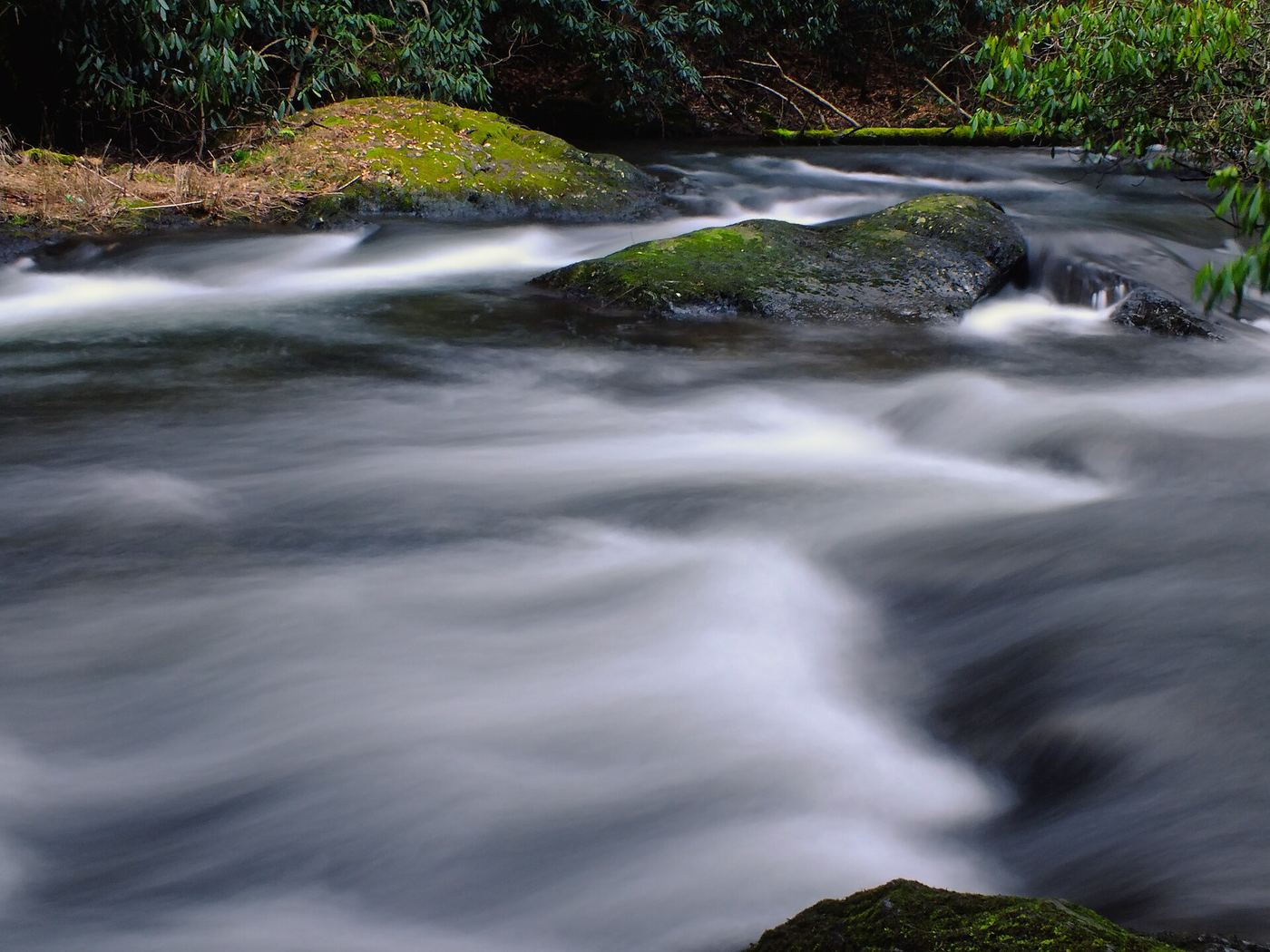
Location map; no photo available.

Official state park trail and parking documented

Pennsylvania

Wyandot Falls

Distance from the trailhead to this falls not stated; it is 0.09 mile upstream of Waters Meet

Wyandot Falls is on the Glen Leigh branch of Kitchen Creek inside the Glens Natural Area of Ricketts Glen State Park. It is the first named falls in Glen Leigh counting upstream from Waters Meet. From Beach Lot #2, follow signs down the trail beside the cabin road to the Glen Leigh side of the Falls Trail, then descend along the glen to Wyandot Falls. Return the same way, or follow DCNR's recommended 3.2-mile clockwise loop from Lake Rose Trailhead: Highland Trail to the Glen Leigh side, down to Waters Meet, then up the Ganoga Glen side. Wyandot is a 15-foot falls and is visible from Waters Meet, so it can also be reached from the Evergreen Parking area on PA 118 by following the Falls Trail north to Waters Meet.

Location map; no photo available.

Choose another state All mapped waterfalls in Pennsylvania