Buttermilk Falls
Carbon County, Pennsylvania
Your visit at a glance
- Waterfall height
- Not recorded
- Location
- Carbon County, Pennsylvania
- Access status
- Flat state park rail trail and parking documented
- The walk
- About a quarter to 0.3 mile each way on a flat rail trail
- Ground & access
- Wide, flat, smooth rail trail with a slight grade. Shared with bicycles.
Buttermilk Falls is a tall series of cascades, roughly 50 to 70 feet of visible drop, where a side stream enters the Lehigh River gorge in Lehigh Gorge State Park. From the Rockport Access parking area, walk north (upstream) on the Lehigh Gorge Trail, a wide, smooth former railroad grade. The falls are at the first bridge on the trail, which has a sign naming the falls. Return the same way. Luke's Falls is 1/4 mile south of the same parking area.
Plan your visit
Rockport Access parking north on the Lehigh Gorge Trail to the bridge below Buttermilk Falls
PA Bucket List gives 1/4 mile north of the Rockport Access; Uncovering PA gives 0.3 mile north. Both describe the same flat rail-trail walk.
Wide, flat, smooth rail trail with a slight grade. Shared with bicycles.
Where to start
Rockport Access Area of Lehigh Gorge State Park, published at 40.96650, -75.75529. From I-80 Exit 273, follow PA 940 west 1 mile, turn left onto Lehigh Gorge Drive, then left onto Rockport Road at the village of Rockport. Restrooms and seasonal water are at Rockport.
Timing & water
DCNR lists the park open every day of the year, sunrise to sunset.
Before you go
No fee is mentioned.
Visitor informationVisit sources
More waterfalls nearby
Within 40 straight-line miles. Road and trail distances will differ.
- Lukes FallsOfficial park rail trail and access area documented; short level walkCarbon County, PA0.4 miS
- Cave FallsCarbon County, PA5.8 miS
- Terrace FallsCarbon County, PA5.8 miS
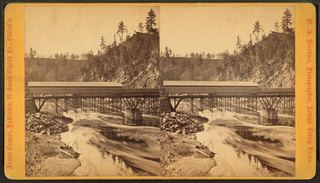 Onoko FallsCarbon County, PA5.9 miS
- Lower FallsCarbon County, PA5.9 miS
- Hawk FallsOfficial state park trail and roadside trailhead parking documentedCarbon County, PA6.7 miE
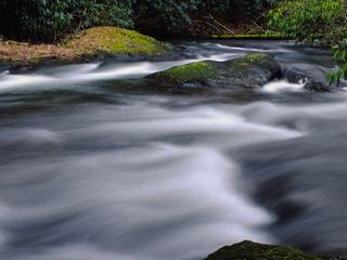 Wild Creek FallsOfficial state park trail and trailhead documented; summer weekend parking limitsCarbon County, PA11 miSE
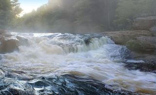 Tobyhanna FallsEasy county natural area trail from Route 115Monroe County, PA12 miNE
- Great Falls of the LehighMonroe County, PA13 miNE