Raymondskil Falls
Pike County, Pennsylvania
Your visit at a glance
- Waterfall height
- Not recorded
- Location
- Pike County, Pennsylvania
- The walk
- 0.3-mile trail with viewing areas
- Ground & access
- Fairly steep and uneven; NPS lists 178 feet of elevation change.
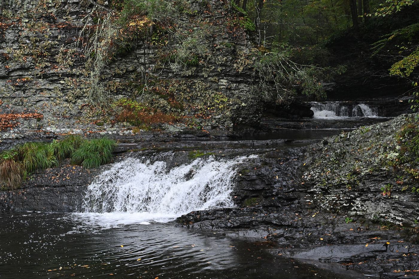
Visit the upper and lower falls viewing areas. The separate creek spur does not reach the falls base.
Plan your visit
Raymondskill Falls viewing trail
NPS labels the trail 0.3 mile and type loop with out-and-back spur. It does not clarify spur inclusion in that total.
Fairly steep and uneven; NPS lists 178 feet of elevation change.
Where to start
Upper and lower lots on Raymondskill Road; upper lot closes early January to mid-April.
Timing & water
Upper lot has a winter closure. May-September downstream drainage closure expressly excludes the falls trail.
Before you go
Unknown: fees and booking requirements not established.
Visitor informationMore waterfalls nearby
Within 40 straight-line miles. Road and trail distances will differ.
- Hackers FallsNational Park Service trail from Raymondskill RoadPike County, PA0.7 miN
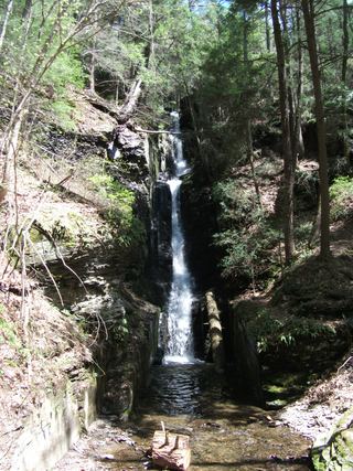 Silverthread FallsTrail and access road closedPike County, PA4.7 miSW
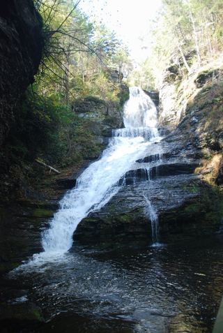 Dingmans FallsTrail and access road closedPike County, PA4.8 miSW
- Fulmer FallsResearched visit notesPike County, PA5.2 miSW
- Factory FallsResearched visit notesPike County, PA5.3 miSW
- Deer Leap FallsOfficial park loop trail and trailhead parking documentedPike County, PA5.3 miSW
- Lower Indian Ladder FallsPartial guide: official trail to the lower falls; match to this listing is by name and description onlyPike County, PA7.3 miSW
 Tillman FallsState forest natural area trail; short steep walk from the lower lotSussex County, NJ9.3 miS
- Tumbling WatersOfficial loop trail and trailhead documented; steep steps to the fallsPike County, PA9.9 miSW