Tillman Falls
Sussex County, New Jersey
Your visit at a glance
- Waterfall height
- Not recorded
- Location
- Sussex County, New Jersey
- Access status
- State forest natural area trail; short steep walk from the lower lot
- The walk
- About 250 feet to the Tea Cup junction from the lower lot; about 1.5 miles for the full figure-8 loop
- Ground & access
- Short but steep trail into a ravine, with wooden footbridges and stairs. Hiking only.
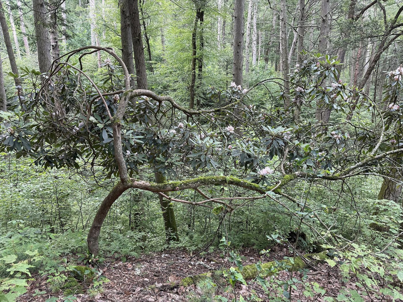
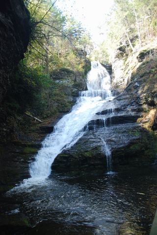
Tillman Brook drops through a narrow red shale and sandstone ravine in the Tillman Ravine Natural Area of Stokes State Forest, with several small cascades. From the lower parking area on Dimon Road, enter the woods to the left of the restrooms on the white-blazed Tillman Ravine Trail. The trail descends into the ravine; after about 250 feet a sign points left to the Tea Cup, a round pothole at the bottom of a cascade. The trail then follows Tillman Brook north on footbridges, past more cascades, and loops back to the lower lot. This listing sits near the lower lot and the Tea Cup. The route description dates from 2021.
Plan your visit
Lower Tillman Ravine parking area on Dimon Road, down the white Tillman Ravine Trail to the Tea Cup cascade
Take a Hike gives about 250 feet from the lower parking area to the Tea Cup sign and approximately 1.5 miles for the figure-8 loop. Waterfall Record gives 1 mile round trip for its walk to the falls.
Short but steep trail into a ravine, with wooden footbridges and stairs. Hiking only.
Where to start
Lower Tillman Ravine parking area on Dimon Road, about 1.0 mile east of Walpack Center; the upper lot is about 1.5 miles east of Walpack Center. Restrooms at both. From December 15 to April 15, or in hazardous weather, vehicle access is restricted; park at the pull-off next to the 4H camp.
Timing & water
Vehicle access to Tillman Ravine is restricted from December 15 to April 15 and in hazardous weather.
Before you go
No fee for the Tillman Ravine lots is mentioned. Stokes State Forest charges fees for some facilities.
Visitor informationVisit sources
More waterfalls nearby
Within 40 straight-line miles. Road and trail distances will differ.
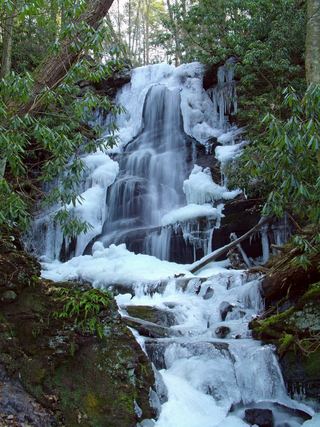 Silver Spray WaterfallPartial: route documented; the match to this listing is probable but not confirmedSussex County, NJ1.6 miSW
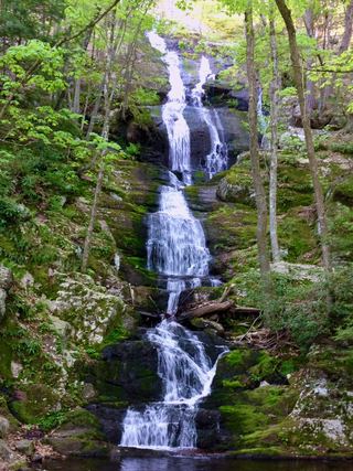 Buttermilk FallsVerified parking approach via Struble Road; other access roads closedSussex County, NJ2.0 miSW
- Tumbling WatersOfficial loop trail and trailhead documented; steep steps to the fallsPike County, PA3.1 miW
- Lower Indian Ladder FallsPartial guide: official trail to the lower falls; match to this listing is by name and description onlyPike County, PA3.5 miNW
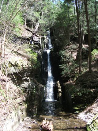 Silverthread FallsTrail and access road closedPike County, PA5.3 miN
 Dingmans FallsTrail and access road closedPike County, PA5.4 miN
- Deer Leap FallsOfficial park loop trail and trailhead parking documentedPike County, PA6.2 miNW
- Fulmer FallsResearched visit notesPike County, PA6.3 miNW
- Factory FallsResearched visit notesPike County, PA6.3 miNW