Buttermilk Falls
Sussex County, New Jersey
Your visit at a glance
- Waterfall height
- Not recorded
- Location
- Sussex County, New Jersey
- Access status
- Verified parking approach via Struble Road; other access roads closed
- The walk
- Short walk from parking; optional steps to upper viewing platform
- Ground & access
- Dirt/gravel parking, roadside base viewing and steep wooden stairs for the upper view. NPS prohibits swimming or wading in the waterfall and within 50 feet upstream.
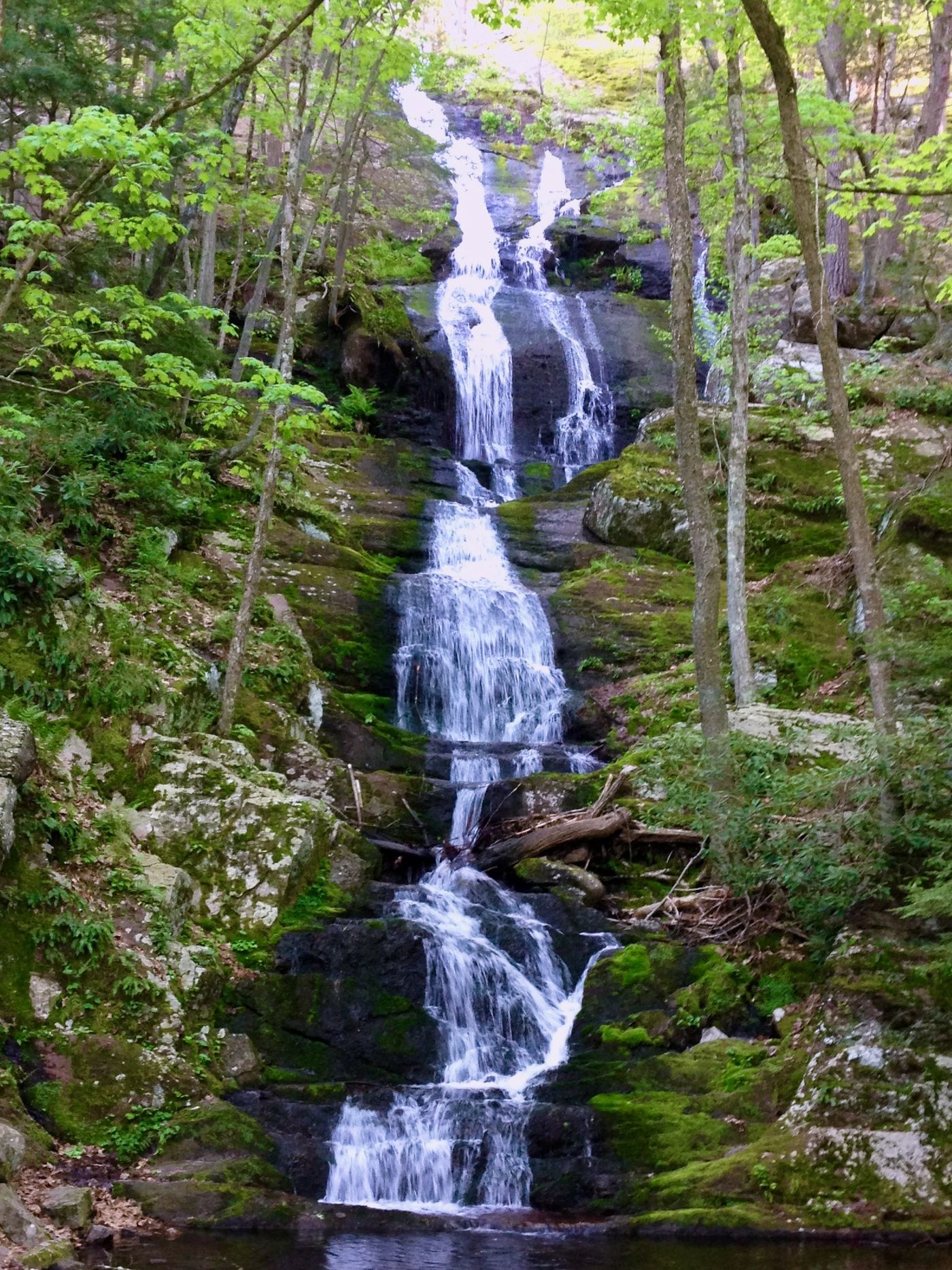
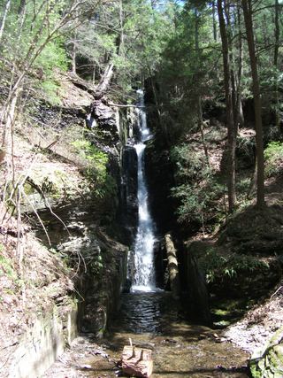
Use the Mountain Road waterfall parking area and walk over to the roadside base view. Optionally climb the wooden staircase to the viewing platform above the falls and return down the stairs. The Appalachian Trail climb beyond is excluded.
Plan your visit
Buttermilk Falls roadside view and optional staircase
NPS's 1.4-mile one-way trail figure continues uphill to the Appalachian Trail. It is not the distance to see the falls from the road or to visit the waterfall platforms.
Dirt/gravel parking, roadside base viewing and steep wooden stairs for the upper view. NPS prohibits swimming or wading in the waterfall and within 50 feet upstream.
Where to start
Buttermilk Falls Trail Parking on Mountain Road near Walpack Center. Follow the current NPS approach through Struble Road in Stokes State Forest to Mountain Road. The Walpack Main Street bridge and the Haneys Mill approach are closed.
Timing & water
NPS's current conditions page, updated May 21, 2026 and checked October 27, requires the Struble Road approach. Its waterfall page states Struble Road closes December 15–April 15 annually, when the falls cannot be reached by vehicle.
Before you go
No waterfall reservation requirement is stated in the reviewed NPS pages.
Visitor informationVisit sources
More waterfalls nearby
Within 40 straight-line miles. Road and trail distances will differ.
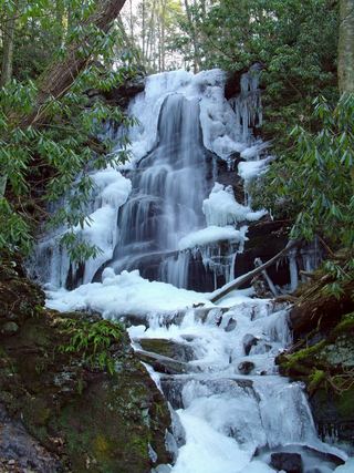 Silver Spray WaterfallPartial: route documented; the match to this listing is probable but not confirmedSussex County, NJ0.7 miE
 Tillman FallsState forest natural area trail; short steep walk from the lower lotSussex County, NJ2.0 miNE
- Tumbling WatersOfficial loop trail and trailhead documented; steep steps to the fallsPike County, PA2.2 miNW
- Lower Indian Ladder FallsPartial guide: official trail to the lower falls; match to this listing is by name and description onlyPike County, PA4.1 miN
- Pennell FallsPrivate attraction with paid admission; marked trailsPike County, PA6.4 miW
- Upper Canyon FallsPartial guide: the attraction names the Upper Canyon but does not mark this exact fallsPike County, PA6.4 miW
- Laurel Glen FallsPartial guide: trail inside a private park; exact match of Laurel Glen to this listing not confirmedPike County, PA6.4 miW
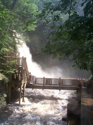 Bushkill FallsPrivate attraction with paid admission; marked trailsPike County, PA6.5 miW
 Silverthread FallsTrail and access road closedPike County, PA6.5 miN