Lower Indian Ladder Falls
Pike County, Pennsylvania
Your visit at a glance
- Waterfall height
- Not recorded
- Location
- Pike County, Pennsylvania
- Access status
- Partial guide: official trail to the lower falls; match to this listing is by name and description only
- The walk
- 1 mile each way, per the National Park Service
- Ground & access
- Easy old roadbed along the creek with little elevation change.
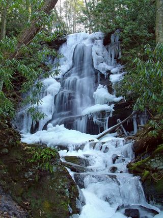
The National Park Service says the Hornbecks Creek Trail is known to some locals as Indian Ladders. The lower trail follows an old roadbed along Hornbecks Creek to a short waterfall framed by symmetrical cliffs and a round plunge pool. This listing appears to be that lower waterfall; no source gives its coordinates, so the match is probable but not confirmed. From US 209 at mile marker 10.4, just south of Chestnut Hill Road, take the short gravel drive to the trailhead and walk the trail 1 mile to the falls. The trail section beyond the lower falls to the upper waterfall is closed because the hillside has slid; the upper falls are reached from a separate trailhead. Return the same way.
Plan your visit
Lower Hornbecks Creek trailhead off US 209 at mile marker 10.4, along the old roadbed beside Hornbecks Creek to the lower waterfall
The National Park Service gives 1 mile one way and 110 feet of elevation change for the Lower Hornbecks Creek Trail to the waterfall. Return the same way.
Easy old roadbed along the creek with little elevation change.
Where to start
Trailhead at the end of a short gravel drive from US 209 at mile marker 10.4, just south of Chestnut Hill Road, in Delaware Water Gap National Recreation Area.
Timing & water
No seasonal closure is mentioned. Swimming and wading are not permitted in the waterfall or within 50 feet upstream of it. The trail between the lower and upper waterfalls is closed.
Before you go
No fee is mentioned.
Visitor informationVisit sources
- National Park Service: Lower Hornbecks Creek Trail
- National Park Service: Lower Hornbecks Creek Trail
- National Park Service: Lower Hornbecks Creek Trail
- National Park Service: Lower Hornbecks Creek Trail
- National Park Service: Lower Hornbecks Creek Trail
- Scenes from the Trail: Waterfalls of Pike County, Pennsylvania
More waterfalls nearby
Within 40 straight-line miles. Road and trail distances will differ.
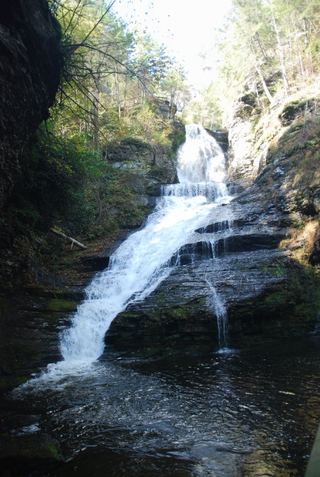 Dingmans FallsTrail and access road closedPike County, PA2.5 miN
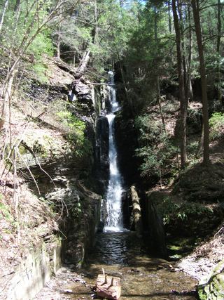 Silverthread FallsTrail and access road closedPike County, PA2.6 miN
- Tumbling WatersOfficial loop trail and trailhead documented; steep steps to the fallsPike County, PA2.7 miS
- Deer Leap FallsOfficial park loop trail and trailhead parking documentedPike County, PA2.9 miN
- Fulmer FallsResearched visit notesPike County, PA3.0 miN
- Factory FallsResearched visit notesPike County, PA3.0 miN
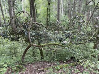 Tillman FallsState forest natural area trail; short steep walk from the lower lotSussex County, NJ3.5 miSE
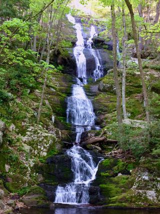 Buttermilk FallsVerified parking approach via Struble Road; other access roads closedSussex County, NJ4.1 miS
 Silver Spray WaterfallPartial: route documented; the match to this listing is probable but not confirmedSussex County, NJ4.3 miS