Tumbling Waters
Pike County, Pennsylvania
Your visit at a glance
- Waterfall height
- Not recorded
- Location
- Pike County, Pennsylvania
- Access status
- Official loop trail and trailhead documented; steep steps to the falls
- The walk
- About 1.5 miles along the loop to the waterfall spur; the full loop is 2.8 to 3.01 miles
- Ground & access
- Hilly woodland loop with a steep descent and climb on switchbacks and steps to the falls; 254 feet of elevation change per the National Park Service.
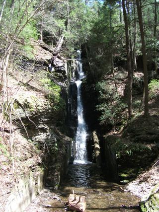
Tumbling Waters is a waterfall in a hemlock ravine on the Tumbling Waters Trail at the Pocono Environmental Education Center (PEEC), inside Delaware Water Gap National Recreation Area. The orange-blazed loop starts with the Fossil Trail about 30 yards up the campus road, across from the group lodges. After about a mile it reaches the Hermits Hill overlook of the Delaware Valley. At about 1.5 miles, switchbacks and wooden steps lead down to the falls; the upper falls are seen from the bottom of the steps and the lower falls only from above. Climb back up and continue the loop past Pickerel Pond to the campus.
Plan your visit
Tumbling Waters Trail (orange blazes) from the PEEC campus road across from the group lodges, to the waterfall spur
The PEEC trail map places the switchbacks down to the waterfalls at 1.5 miles and gives 3.01 miles for the loop; the National Park Service gives 2.8 miles for the loop. Both figures are for the whole loop.
Hilly woodland loop with a steep descent and climb on switchbacks and steps to the falls; 254 feet of elevation change per the National Park Service.
Where to start
Pocono Environmental Education Center main parking lot, 538 Emery Road, Dingmans Ferry, PA, off US 209 inside the recreation area. Restrooms are in the main building.
Timing & water
No seasonal closure is stated.
Before you go
No fee is mentioned for the trail. Printed trail guides are sold for a small fee at the main building. Swimming and wading are not permitted within 50 feet of a waterfall.
Visitor informationVisit sources
- National Park Service: Tumbling Waters Trail
- National Park Service: Tumbling Waters Trail
- National Park Service: Tumbling Waters Trail
- Pocono Environmental Education Center: PEEC Trail Map (PDF)
- Pocono Environmental Education Center: PEEC Trail Map (PDF)
- NJ Hiking: Pocono Environmental Education Center
- NJ Hiking: Pocono Environmental Education Center
More waterfalls nearby
Within 40 straight-line miles. Road and trail distances will differ.
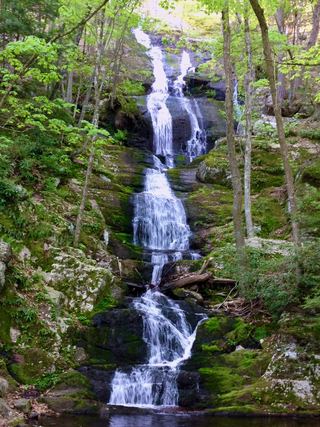 Buttermilk FallsVerified parking approach via Struble Road; other access roads closedSussex County, NJ2.2 miSE
- Lower Indian Ladder FallsPartial guide: official trail to the lower falls; match to this listing is by name and description onlyPike County, PA2.7 miN
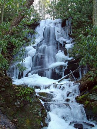 Silver Spray WaterfallPartial: route documented; the match to this listing is probable but not confirmedSussex County, NJ2.8 miSE
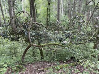 Tillman FallsState forest natural area trail; short steep walk from the lower lotSussex County, NJ3.1 miE
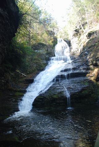 Dingmans FallsTrail and access road closedPike County, PA5.2 miN
- Pennell FallsPrivate attraction with paid admission; marked trailsPike County, PA5.3 miSW
 Silverthread FallsTrail and access road closedPike County, PA5.3 miN
- Deer Leap FallsOfficial park loop trail and trailhead parking documentedPike County, PA5.4 miN
- Upper Canyon FallsPartial guide: the attraction names the Upper Canyon but does not mark this exact fallsPike County, PA5.4 miSW