Gipson Falls
Sullivan County, Pennsylvania
Your visit at a glance
- Waterfall height
- 20 ft (6.1 m)
- Location
- Sullivan County, Pennsylvania
- Access status
- Marked Loyalsock Trail and spur from a trailhead lot
- The walk
- About 1 mile to Angel Falls per PA Bucket List; Gipson Falls is on a spur just below it
- Ground & access
- Mostly flat trail, a wet crossing of Falls Run, then an uphill climb of about a third of a mile.
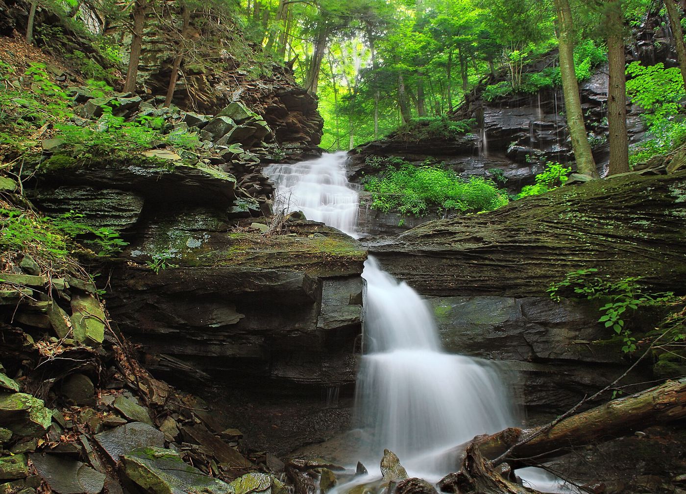
Photo credit
Photo: Nicholas A. Tonelli from Northeast Pennsylvania, USA, CC BY 2.0, via Wikimedia CommonsGipson Falls is a 20-foot falls on Falls Run in Loyalsock State Forest, just below the 70-foot Angel Falls. From the trailhead lot on Brunnerdale Road, follow the Loyalsock Trail, which is mostly flat for the first two-thirds along Ogdonia Creek; follow signs onto the rerouted section of the trail. After a wet crossing of Falls Run, the trail climbs along Falls Run. Gipson Falls and Angel Falls are both marked with blue spur-trail markers from the Loyalsock Trail. Return the same way.
Plan your visit
Brunnerdale Road trailhead, Loyalsock Trail along Ogdonia Creek and up Falls Run, then a blue-blazed spur to Gipson Falls
PA Bucket List gives a 1-mile hike on the Loyalsock Trail from the Brunnerdale Road lot to Angel Falls. Gipson Falls is just downstream of Angel Falls; no separate figure is published.
Mostly flat trail, a wet crossing of Falls Run, then an uphill climb of about a third of a mile.
Where to start
Trailhead lot on Brunnerdale Road. Published coordinates 41.38518, -76.66822.
Timing & water
Flow is best during spring thaw or after heavy rain.
Before you go
No fee is mentioned.
Visitor informationVisit sources
More waterfalls nearby
Within 40 straight-line miles. Road and trail distances will differ.
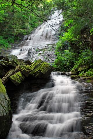 Angel FallsMarked state forest trail and parking documented70 ft (21.3 m) · Sullivan County, PA0.1 miN
- Andrea FallsSullivan County, PA2.4 miN
- Dry Run FallsRoadside falls with a parking lot and picnic areaSullivan County, PA2.5 miN
- Old Bark FallsPartial guide: falls are off trail and not named in the sourcesSullivan County, PA2.7 miN
- Lee's FallsPartial guide: part of the approach is an unblazed path between the Ketchum Run Trail and the Loyalsock Trail13 ft (4 m) · Sullivan County, PA4.8 miNE
- Armstrong-Rode FallsPartial guide: source route uses an off-trail creek section; listing name differs from the source name10 ft (3 m) · Sullivan County, PA4.8 miNE
- Mill Creek FallsShort blazed trail from a forest road pull-off13 ft (4 m) · Sullivan County, PA5.0 miNW
- Wenonah FallsSullivan County, PA5.3 miE
- Cottonwood FallsShort marked loop trail from PA 154 near the Worlds End chapelSullivan County, PA6.7 miNE