Lewis Falls
Sullivan County, Pennsylvania
Your visit at a glance
- Waterfall height
- Not recorded
- Location
- Sullivan County, Pennsylvania
- Access status
- Partial guide: user-made paths on state game lands; road gate is seasonal
- The walk
- About 450 feet from the Lewis Falls sign when the road is open; 2.44 miles by road from the gate parking area to the Lewis Falls parking area
- Ground & access
- Rutted dirt road, then a short user trail to the top of the falls with high, sheer cliffs. Reaching the base needs a difficult descent or a creek walk with several wet crossings. The best view is from the far bank, which needs a stream crossing above the falls; one visitor had to wade more than knee-deep.
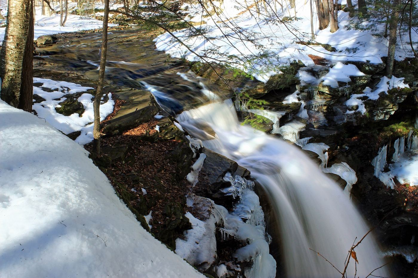
Photo credit
Photo: Nicholas A. Tonelli from Northeast Pennsylvania, USA, CC BY 2.0, via Wikimedia CommonsLewis Falls is the tallest drop on Heberly Run in State Game Lands 13, just above the confluence with Quinn Run. From Jamison City, follow Jamison City Road to its end at a gate and large parking area. Walk (or, when the gate is open, drive) up Grassy Hollow Road past the Big Falls and Twin Falls signs to the Lewis Falls parking area and sign, then follow the old road and user trail a short distance to the top of the falls. The falls are surrounded by cliffs. This partial guide relies on visitor accounts: there is no official trail, signs are unofficial, and the way down to the base is a steep cliff descent or a creek walk with wet crossings from Twin Falls.
Plan your visit
Grassy Hollow Road from the gate above Jamison City to the Lewis Falls sign, then a user trail to the top of the falls
PA Bucket List gives about 450 feet from the Lewis Falls sign to the top of the falls, and 2.44 miles down Grassy Hollow Road from the Lewis Falls parking area to the gate parking area. The road walk applies when the gate is closed to vehicles.
Rutted dirt road, then a short user trail to the top of the falls with high, sheer cliffs. Reaching the base needs a difficult descent or a creek walk with several wet crossings. The best view is from the far bank, which needs a stream crossing above the falls; one visitor had to wade more than knee-deep.
Where to start
Large parking area at the gate where Jamison City Road ends, past the Game Commission building. Grassy Hollow Road beyond the gate is narrow, rutted and unmaintained, with steep drop-offs; when the gate is open there is a small parking area at the Lewis Falls sign.
Timing & water
The Grassy Hollow Road gate is usually open only during spring turkey season (about May) and the fall hunting season; at other times, walk the road. The road is muddy in spring and icy in winter.
Before you go
No fee is mentioned. This is state game land: wear blaze orange during hunting seasons, and overnight camping is not allowed.
Visitor informationVisit sources
- PA Bucket List: Exploring Big Falls, Twin Falls, and Lewis Falls on SGL 13
- PA Bucket List: Exploring Big Falls, Twin Falls, and Lewis Falls on SGL 13
- PA Bucket List: Exploring Big Falls, Twin Falls, and Lewis Falls on SGL 13
- PA Bucket List: Exploring Big Falls, Twin Falls, and Lewis Falls on SGL 13
- Uncovering PA: The Waterfalls of Heberly Run in State Game Lands 13
- Uncovering PA: The Waterfalls of Heberly Run in State Game Lands 13
More waterfalls nearby
Within 40 straight-line miles. Road and trail distances will differ.
 Twin FallsPartial guide: the last section is a user-created trail on State Game LandsSullivan County, PA0.5 miSE
- Big FallsPartial guide: final descent is a steep user trailSullivan County, PA0.8 miSE
- Sullivan FallsPartial guide: short user path on State Game Lands; no marked trailSullivan County, PA1.3 miE
- Big Run FallsRoadside falls on a forest road; optional streambed walk to the baseSullivan County, PA1.5 miE
- Pigeon Run FallsPartial guide: final approach is off-trail on state game landsSullivan County, PA1.5 miE
- Mohawk FallsState park trail from the Lake Rose Trailhead37 ft (11.3 m) · Luzerne County, PA4.1 miE
- Oneida FallsState park trail from the Lake Rose Trailhead13 ft (4 m) · Luzerne County, PA4.2 miE
- Cayuga FallsOfficial state park trail and parking documented11 ft (3.3 m) · Luzerne County, PA4.2 miE
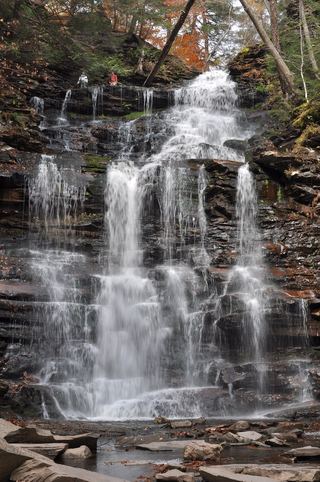 Ganoga FallsOfficial Falls Trail from Lake Rose Trailhead94 ft (28.6 m) · Luzerne County, PA4.3 miE