Upper Falls
Northampton County, Pennsylvania
Your visit at a glance
- Waterfall height
- Not recorded
- Location
- Northampton County, Pennsylvania
- Access status
- Partial guide: unmarked path; access road partly closed
- The walk
- About 100 to 200 yards from the pull-off
- Ground & access
- Short, unmarked, downhill path to the creek. Wet rocks are slippery.
Upper Falls is the uppermost of three waterfalls on Slateford Creek, a cascade of roughly 20 to 30 feet into a round pool, with the ruins of a concrete dam just below. It is in the southern part of Delaware Water Gap National Recreation Area. From the roadside pull-off, follow the unblazed but obvious path downhill to the base of the falls. This partial guide relies on visitor accounts. The path is unmarked, and part of National Park Drive is closed: one visitor account says the falls can be reached only from the west, and the National Park Service lists National Park Drive, including Slateford Bridge, among its construction closures. Check the park's conditions page before travel.
Plan your visit
Roadside pull-off on National Park Drive, then an unmarked path downhill to Upper Slateford Creek Falls
PA Bucket List gives 100 yards from the pull-off to the base of the falls; Uncovering PA gives about 200 yards. Return the same way.
Short, unmarked, downhill path to the creek. Wet rocks are slippery.
Where to start
Roadside pull-off on National Park Drive at about 40.94709, -75.12715, per PA Bucket List, approached from the west. The road is closed near its junction with PA 611; do not try to approach from PA 611.
Timing & water
Road access depends on the National Park Drive closure; check the park's current conditions page.
Before you go
No fee is mentioned.
Visitor informationVisit sources
- PA Bucket List: Exploring Slateford Creek Falls in Northampton County
- PA Bucket List: Exploring Slateford Creek Falls in Northampton County
- PA Bucket List: Exploring Slateford Creek Falls in Northampton County
- Uncovering PA: The Waterfalls of Slateford Creek
- National Park Service: Delaware Water Gap current conditions
More waterfalls nearby
Within 40 straight-line miles. Road and trail distances will differ.
- Lower FallsNorthampton County, PA0.5 miE
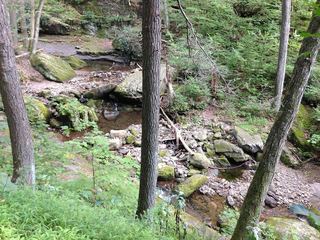 Dunnfield Creek FallsState forest and national recreation area trail; busy parkingWarren County, NJ2.2 miN
- Laurel FallsVery short creekside path from a state forest trailheadWarren County, NJ5.1 miNE
- Twin FallsPartial guide: roadside view only; falls on private property; no parking areaMonroe County, PA5.9 miN
- Marshalls Creek FallsCounty park with accessible boardwalk to the fallsMonroe County, PA7.4 miN
- Old Mill FallsMonroe County, PA9.8 miW
- Lower Glen WaterfallNational recreation area trail; short walk to the lower fallsWarren County, NJ10 miNE
- Upper Glen WaterfallNational recreation area trail from the Upper Glen lotWarren County, NJ11 miNE
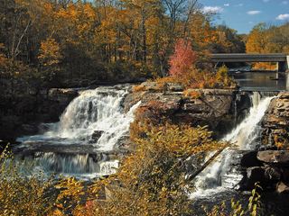 Resica FallsPartial guide: falls on private camp land; visitor accounts say the falls area is open to the public, but no owner page was foundMonroe County, PA11 miN