Nay Aug Falls
Lackawanna County, Pennsylvania
Your visit at a glance
- Waterfall height
- 20 ft (6.1 m)
- Location
- Lackawanna County, Pennsylvania
- Access status
- City park trail to a railed viewing platform
- The walk
- About a quarter mile round trip to the main viewing platform, per Uncovering PA
- Ground & access
- Short trail with uneven, tricky spots down into the gorge. The Davis Trail itself is wide and flat.
Nay Aug Falls is a falls of about 15 to 20 feet on Roaring Brook at the north end of Nay Aug Gorge in Nay Aug Park, Scranton's largest city park. Park in the lot just past the Everhart Museum and the Brooks Coal Mine. Take the Davis Trail at the far end of the lot and turn right on the overlook trail, which heads down into the gorge to a railed viewing platform on the west side of Roaring Brook. Stay behind the railing; the rocks near the top of the falls are slippery and people have been seriously hurt or killed here. A second viewpoint on the opposite cliff is reached by returning to the Davis Trail, turning right, then right on the Rodman Trail across a covered bridge.
Plan your visit
Nay Aug Park lot past the Everhart Museum, Davis Trail, then the overlook trail down into the gorge to the viewing platform
Uncovering PA gives around a quarter mile round trip from the lot past the Everhart Museum to the viewing platform, and roughly one mile round trip to the second viewing area across the covered bridge. Go Waterfalling gives a half mile walk from the parking area to the falls.
Short trail with uneven, tricky spots down into the gorge. The Davis Trail itself is wide and flat.
Where to start
Free parking in several areas of Nay Aug Park, 500 Arthur Avenue, Scranton. Uncovering PA recommends the lot just past the Everhart Museum, coordinates 41.399138, -75.641398.
Timing & water
No seasonal restriction is mentioned.
Before you go
Free on-site parking, per Visit NEPA. No entry fee is mentioned.
Visitor informationVisit sources
More waterfalls nearby
Within 40 straight-line miles. Road and trail distances will differ.
- Rattlesnake FallsLackawanna County, PA5.9 miS
- Salvatore FallsPartial guide: the last 50 yards to the base are off trailLuzerne County, PA12 miSW
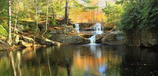 Choke Creek FallsForest roads and the Pinchot Trail from a Phelps Road pull-offLuzerne County, PA16 miS
- Buttermilk FallsRoadside falls beside a pull-off; low flow in summer60 ft (18.3 m) · Luzerne County, PA17 miS
- Great Falls of the LehighMonroe County, PA19 miS
- Wangum FallsWayne County, PA21 miE
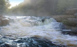 Tobyhanna FallsEasy county natural area trail from Route 115Monroe County, PA22 miS
- Carley Brook FallsPartial guide: viewed from a private business lot; parking for non-customers is not confirmedWayne County, PA23 miNE
- Indian Ladder FallsPike County, PA24 miSE