Jacoby Falls
Lycoming County, Pennsylvania
Your visit at a glance
- Waterfall height
- Not recorded
- Location
- Lycoming County, Pennsylvania
- Access status
- Blazed state forest trail from Wallis Run Road
- The walk
- 1.6 miles each way, per Uncovering PA and PA Bucket List
- Ground & access
- Boardwalk, rocky and often muddy trail with a stream crossing, and a section on a pipeline road. The top of the falls is a dangerous drop.
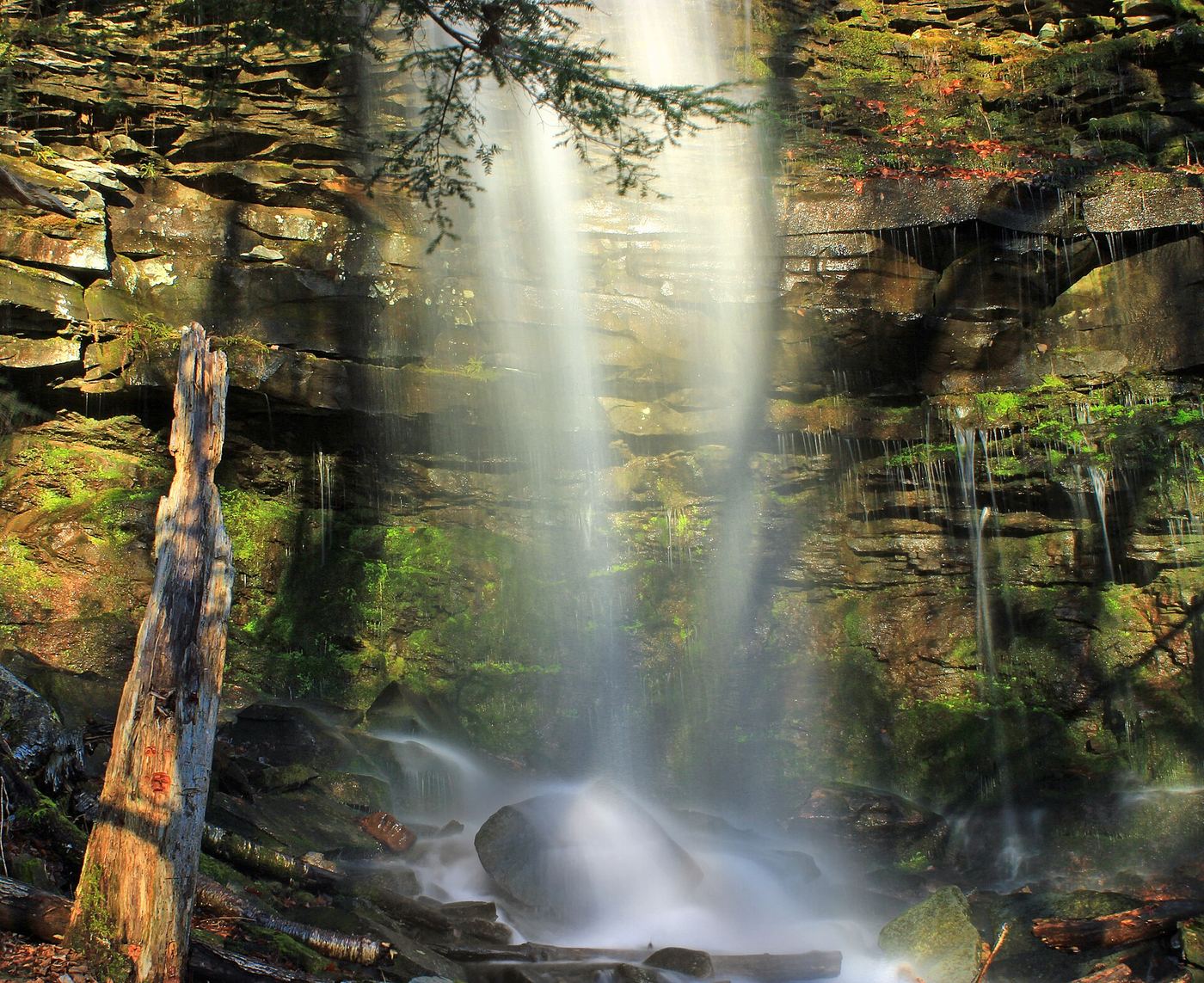
Photo credit
Photo: Nicholas A. Tonelli from Northeast Pennsylvania, USA, CC BY 2.0, via Wikimedia CommonsJacoby Falls, about 29 feet, is in Loyalsock State Forest north of Williamsport. The Northcentral Pennsylvania Conservancy bought land so that the whole trail is on public land. From the parking area, the yellow-blazed trail starts on a narrow boardwalk over a marsh, then climbs gently about 400 feet through woods beside Jacoby Hollow Run, crossing a stream and wet areas. About two-thirds of the way it runs beside and then on a pipeline road. At the yellow 095 pipeline marker, about 1.5 miles in, take the yellow-blazed trail that leaves the road on the left; the falls are about a tenth of a mile further. On the way back, watch for the narrow Please Stay on Trail post where the trail leaves the road, because the road does not lead back to the parking area.
Plan your visit
Cotner Farm parking area on Wallis Run Road, yellow-blazed Jacoby Falls Trail along Jacoby Hollow Run to the falls
Uncovering PA and PA Bucket List give 1.6 miles one way from the Wallis Run Road parking area to the falls. The Northcentral Pennsylvania Conservancy gives about 1.5 miles. Return the same way.
Boardwalk, rocky and often muddy trail with a stream crossing, and a section on a pipeline road. The top of the falls is a dangerous drop.
Where to start
Cotner Farm parking area on Wallis Run Road. From Routes 180 and 87 near Montoursville, take Route 87 north 4.4 miles, turn right on Wallis Run Road just after the bridge and go 4.3 miles. Published coordinates: 41.376821, -76.920241.
Timing & water
The Conservancy says the trail is popular year round. Flow is best in spring or after heavy rain; the stream crossing and wet sections can soak your feet in high water.
Before you go
No fee is mentioned.
Visitor informationVisit sources
- PA Bucket List: Exploring Jacoby Falls in the Loyalsock State Forest
- PA Bucket List: Exploring Jacoby Falls in the Loyalsock State Forest
- PA Bucket List: Exploring Jacoby Falls in the Loyalsock State Forest
- Uncovering PA: Jacoby Falls in Loyalsock State Forest
- Uncovering PA: Jacoby Falls in Loyalsock State Forest
- Northcentral Pennsylvania Conservancy: Jacoby Falls/Smithgall
- Northcentral Pennsylvania Conservancy: Jacoby Falls/Smithgall
More waterfalls nearby
Within 40 straight-line miles. Road and trail distances will differ.
- First FallsPartial guide: last stretch follows the stream without a marked trail33 ft (10 m) · Lycoming County, PA9.6 miN
- Second FallsPartial guide: off-trail scramble above the First Falls8 ft (2.3 m) · Lycoming County, PA9.7 miN
- Third FallsPartial guide: off-trail scramble in a narrow gorge21 ft (6.3 m) · Lycoming County, PA9.7 miN
- Upper Middle Branch FallsPartial guide: short creekside approach with no described trail12 ft (3.6 m) · Sullivan County, PA9.8 miNE
- Lower Middle Branch FallsPartial guide: a short streamside walk with no named or marked trail described20 ft (6 m) · Sullivan County, PA9.8 miNE
- Mill Creek FallsShort blazed trail from a forest road pull-off13 ft (4 m) · Sullivan County, PA10 miNE
- East Branch FallsPartial guide: unmarked pull-off and footpath on state forest land25 ft (7.5 m) · Sullivan County, PA10 miNE
- Triple FallsPartial guide: about a quarter mile of the approach is off trail25 ft (7.5 m) · Sullivan County, PA11 miNE
- Andrea FallsSullivan County, PA11 miE