WaterfallNear Me

Minnesota waterfall visits

Compare 48 Minnesota waterfall visits by the approach, terrain, and where to start. Some routes have closures or unresolved details; read the individual guide before travelling.

48 visit options

Beaver Falls, MN

Roadside view from the Highway 61 bridge walkway

Minnesota

Beaver Falls

A few steps from the wayside to the bridge walkway

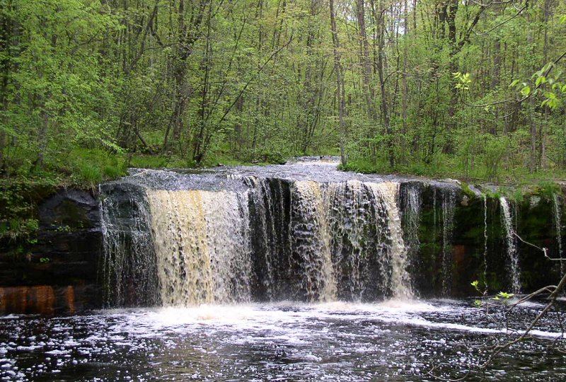
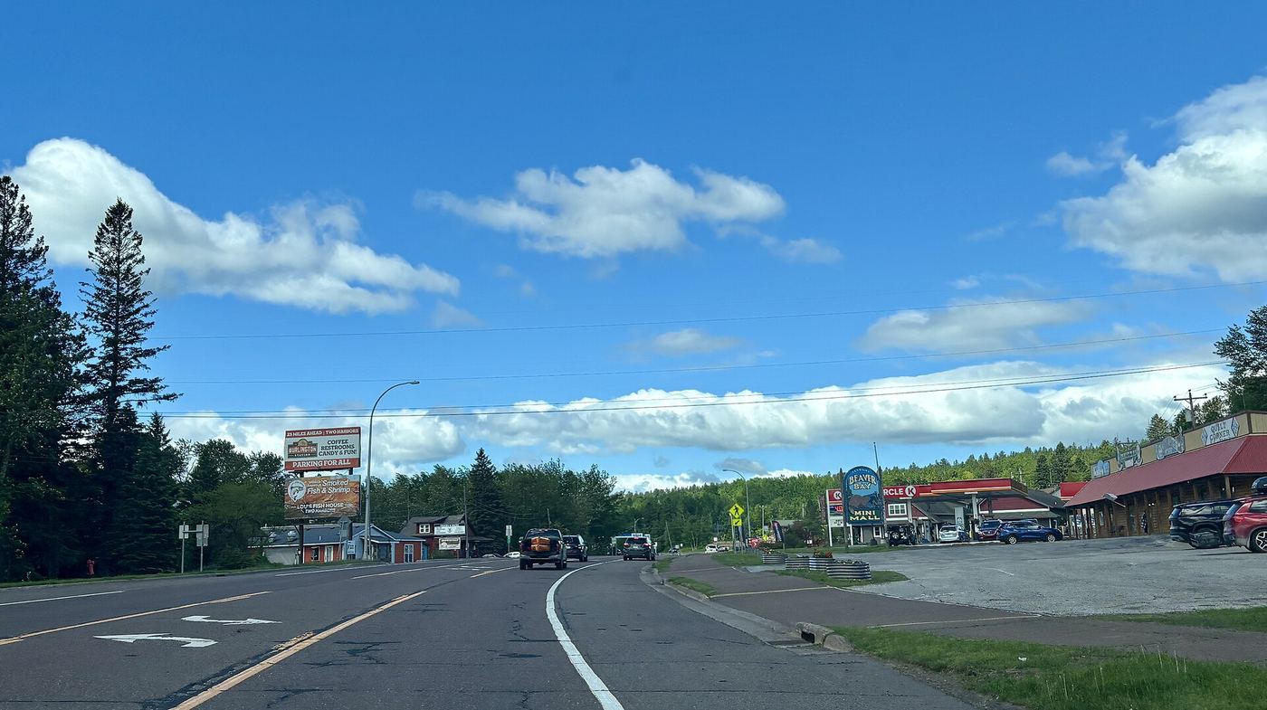
Park at the wayside rest beside the Highway 61 bridge over the Beaver River in Beaver Bay. Walk onto the pedestrian walkway on the bridge and look upstream at the falls. A closer view is possible by climbing down into the gorge, but no maintained trail into the gorge is described.
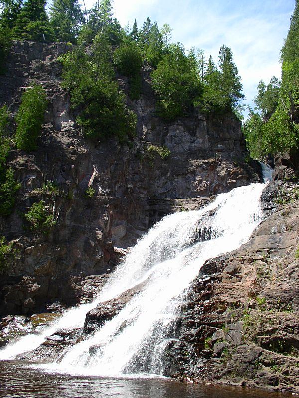
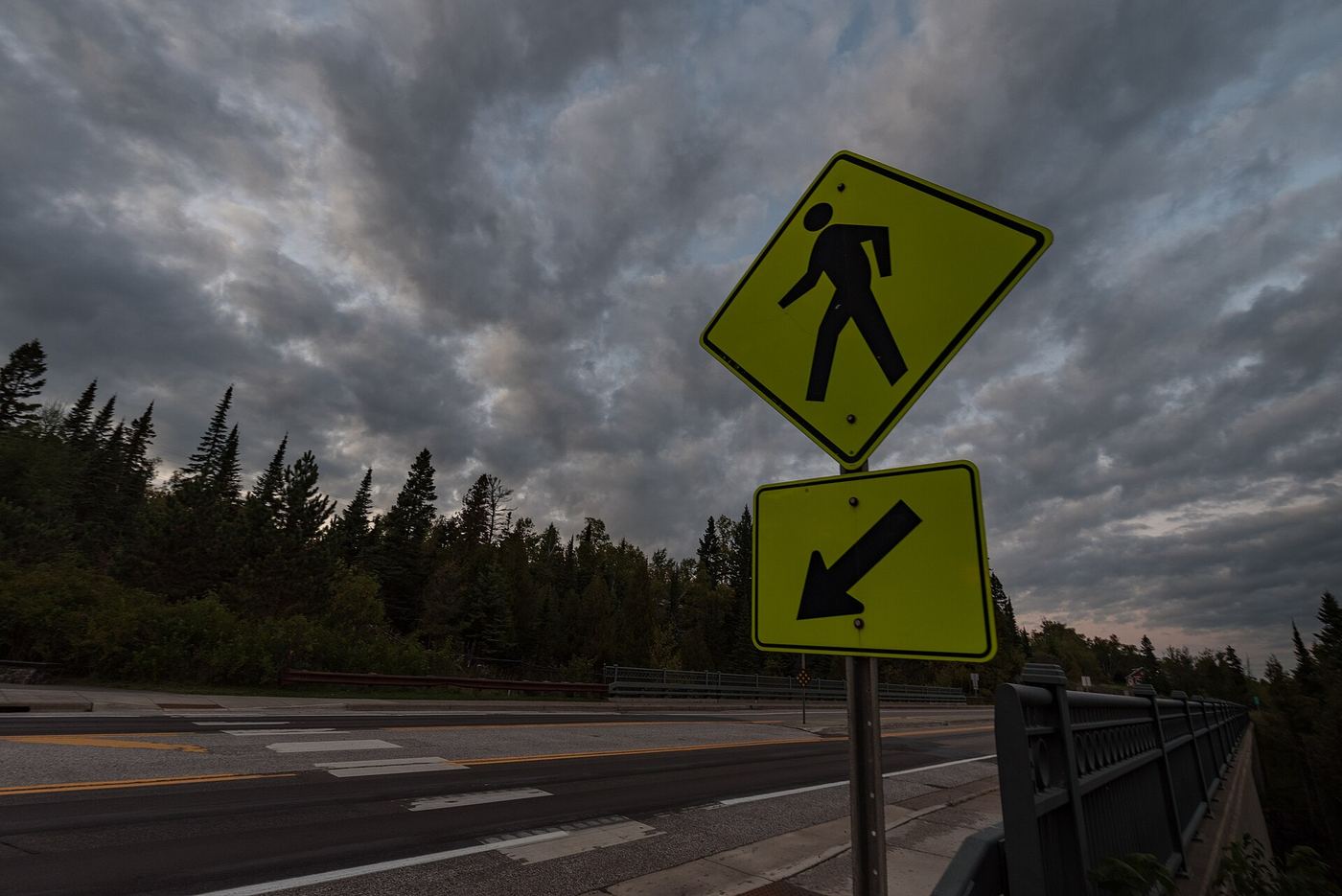
Photo creditPhoto: Myotus, CC BY 4.0, via Wikimedia Commons
Caribou Falls, MN

Official wayside trail to falls base; seasonal wayside

Minnesota

Caribou Falls

About 1.1 miles return

Park at Caribou Falls State Wayside at Highway 61 milepost 70.5. Follow the Caribou River spur of the Superior Hiking Trail up the east side of the river. A long set of wooden stairs leads down to the base of the 35-foot falls. Return the same way.

Photo creditPhoto: McGhiever, CC BY-SA 3.0, via Wikimedia Commons
Cross River Falls, MN

Roadside wayside and bridge viewpoints

Minnesota

Cross River Falls

Short walk from the wayside to the bridge

Highway 61 crosses the Cross River right over the falls in Schroeder. Park at the wayside on the southwest side of the river and walk onto the bridge to see the upper falls. Go Waterfalling also describes a stairway on the lake side of the road to a view area about halfway down the falls. A rough climb into the gorge from an abandoned lot on the northeast side is described, but it is not a maintained trail.

Photo creditPhoto: Tony Webster from Minneapolis, Minnesota, United States, CC BY-SA 2.0, via Wikimedia Commons
Devil's Kettle, MN

Official state park trail with long stairway

Minnesota

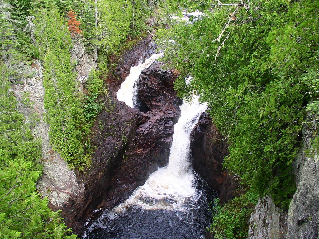
Devil's Kettle

About 2 miles return

From the park parking lot, cross the bridge over the Brule River and follow the Devil's Kettle Trail upstream. The DNR describes going down about 175 stairs and past the Upper Falls to reach Devil's Kettle Falls. Return the same way, which means climbing the stairs again.

Photo creditPhoto: McGhiever, CC BY-SA 3.0, via Wikimedia Commons
Devil's Kettle Falls, MN

State park trail with a long stairway; vehicle permit required

Minnesota

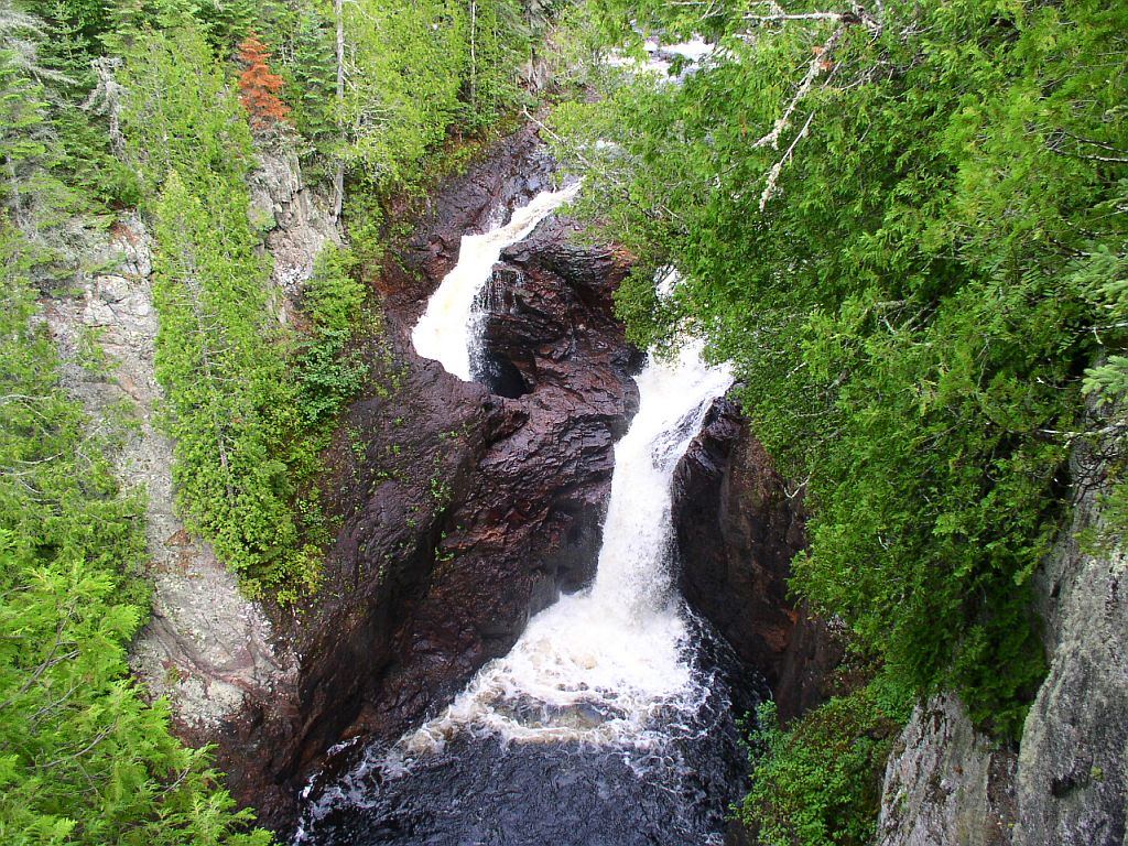
Devil's Kettle Falls

About 1 mile one way, about 2 miles return

Devil's Kettle is the waterfall on the Brule River where part of the river drops into a pothole. From the trailhead parking at the east end of the lot, take the Devil's Kettle Trail across the Brule River on a footbridge and follow the river upstream. At about 0.8 mile a staircase on the left goes down to the base of the Upper Falls. Continue on the main trail about 0.2 mile for the view of Devil's Kettle. Return the same way.

Photo creditPhoto: McGhiever, CC BY-SA 3.0, via Wikimedia Commons
Hidden Falls, MN.

Source-reviewed route and parking

Minnesota

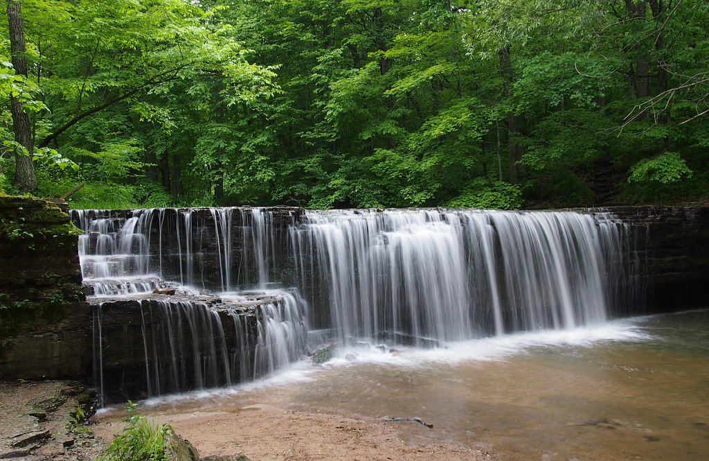
Hidden Falls

Half a mile one way; approximately 1 mile return

From the picnic area parking lot in Nerstrand Big Woods State Park, take Hidden Falls Trail down to Prairie Creek and the waterfall. Remain on the trail and boardwalk through protected Minnesota dwarf trout lily habitat. Return to the picnic area.

Photo creditPhoto: McGhiever, CC BY-SA 3.0, via Wikimedia Commons
Hidden Falls, MN

Official walking directions documented

Minnesota

Hidden Falls

Short park walk; length not published

Enter Hidden Falls Regional Park at the north entrance (Mississippi River Boulevard and Magoffin Avenue). From the first parking lot at the bottom of the bluffs, walk past the picnic shelters toward the river and follow the trail northwest along the Mississippi and up Hidden Falls Creek to the falls. A viewing plaza above the falls can be reached by stairs from Mississippi River Boulevard or by an accessible paved path from Uŋčí Makhá Park.

Photo creditPhoto: Gabriel Vanslette, CC BY 3.0, via Wikimedia Commons
Johnson Falls, MN

Canoe-access trail documented; entry point parking and permit details unverified

Minnesota

Johnson Falls

About 1 mile return on foot, after a canoe trip

Johnson Falls is reached by canoe in the Boundary Waters. Friends of the Boundary Waters describes a day trip from Caribou Lake: a 25-rod portage to Little Caribou Lake, then an 80-rod portage into Pine Lake. On the western shore of Pine Lake, at the portage landing toward Canoe Lake, the Johnson Falls Trail starts on the right. BWCAwild says the walk to both lower and upper falls takes about 30 minutes. Return the same way.

Photo creditPhoto: Kulvich, CC BY-SA 4.0, via Wikimedia Commons
Kawishiwi Falls, MN

Short trail from a free lot; rocks and roots

Minnesota

Kawishiwi Falls

About 0.4 mile one way, 0.8 mile return

Kawishiwi Falls is on the Kawishiwi River between Garden Lake and Fall Lake, on an old portage route. From the large dirt lot, follow the wooded trail down to the falls. Side trails lead to several viewpoints. The route can be extended along the portage trail. Be careful on the rocks above the falls, which are slippery when wet.

Photo creditPhoto: ShakataGaNai, CC BY 3.0, via Wikimedia Commons
Lower Minneopa Falls, MN

Official state park waterfall trail with steep stairs; current closures unverified

Minnesota

Lower Minneopa Falls

About 0.4 mile return

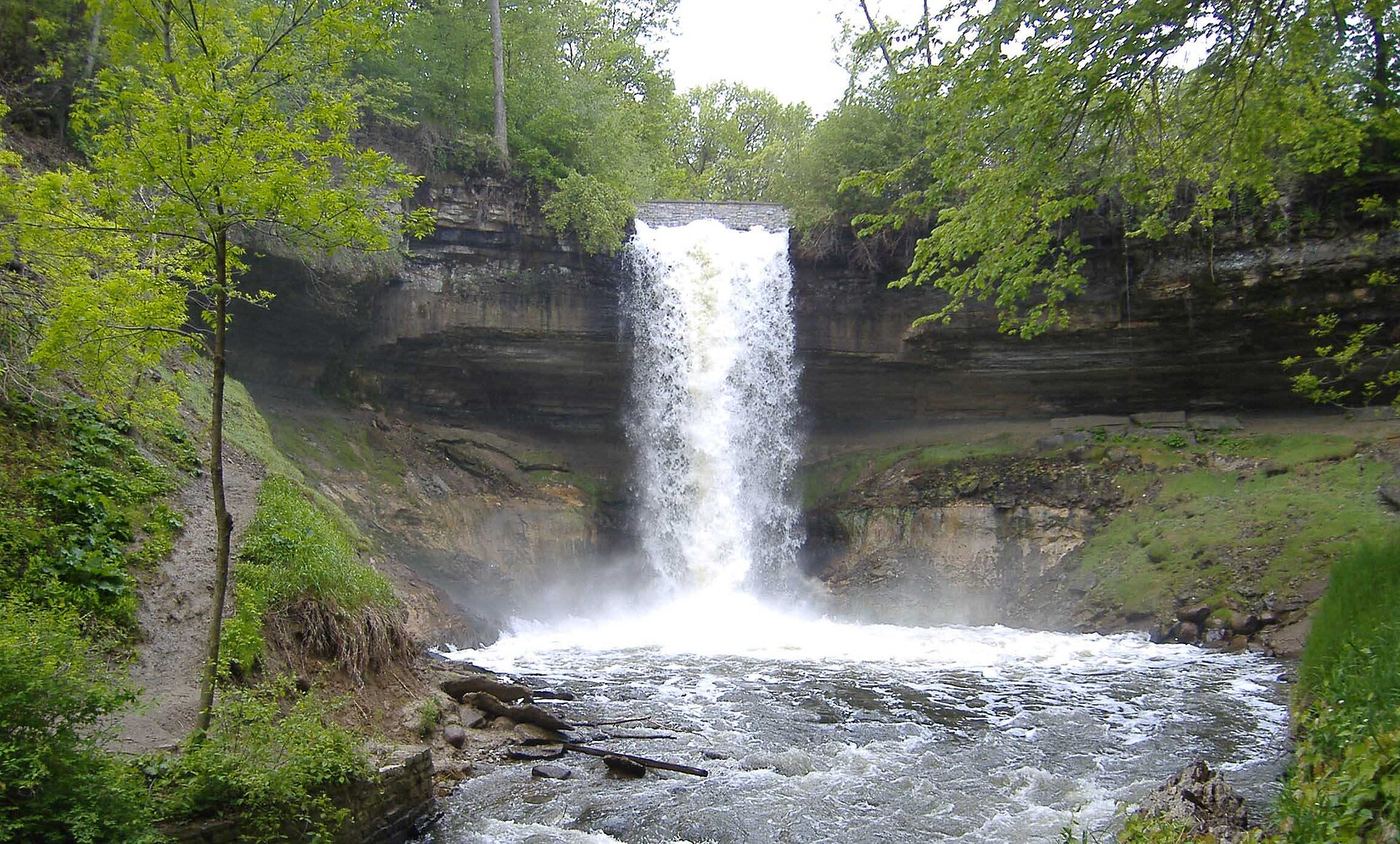
In the southern section of Minneopa State Park, park at the gravel lot at the end of the road. Follow the paved path past the picnic area to the footbridge between the two drops. For the lower falls, the trail runs along the top of the gorge and then down limestone steps to a sandy, rocky path along the creek bank. Return the same way.

Photo creditPhoto: ToxicFlame427, CC BY-SA 4.0, via Wikimedia Commons
Manitou Cascades, MN

State park trail; steep with stairs; vehicle permit required

Minnesota

Manitou Cascades

About 1 mile one way, 2 miles return

The Manitou Cascades are a series of drops on the Manitou River in George H. Crosby Manitou State Park, a rugged wilderness park reached on County Road 7 from Finland. From the parking lot, hike down the Middle Trail to views of the cascades and the river. Return the way you came.

Photo creditPhoto: Tony Webster from Minneapolis, Minnesota, United States, CC BY 2.0, via Wikimedia Commons
Shingle Creek Falls, MN

Park path directions; parking and distance not confirmed

Minnesota

Shingle Creek Falls

Short walk; distance not published

Shingle Creek has a small waterfall beside the walking path near Lyndale Avenue North and Webber Parkway, near Webber Park in north Minneapolis. Follow the walking path west from Lyndale. The waterfall is down the hill toward the railroad tracks, on the right.

Photo creditPhoto: Joe Passe, CC BY-SA 2.0, via Wikimedia Commons
Upper Minneopa Falls, MN

Short state park walk; vehicle permit required

Minnesota

Upper Minneopa Falls

About 0.18 mile one way to the waterfalls area

The upper falls of Minneopa Creek drops 7 to 10 feet just above the larger lower falls. Park in the falls area of Minneopa State Park off Blue Earth County Road 69, not the separate bison and mill area off Highway 68. A short walk leads to the upper viewing area by the creek; steep stairs continue down toward the lower falls.

Photo creditPhoto: ToxicFlame427, CC BY-SA 4.0, via Wikimedia Commons
Wolf Creek Falls, MN

Published state park trail route and distance

Minnesota

Wolf Creek Falls

About 1.6 miles return

In Banning State Park near Sandstone, follow signs for the campground. The trailhead parking lot is on the left, with a sign marking the trail. Follow the mostly flat trail about 0.6 miles to Wolf Creek Falls. Return the same way. Another option starts at Robinson Park, south of the falls off Old Wagon Road, about 2 miles round trip.

Photo creditPhoto: McGhiever, CC BY-SA 3.0, via Wikimedia Commons

Official state park trail; bridge closure noted on map

Minnesota

Big Spring Falls

About 0.8 mile return

Drive through Sandstone to the southern unit of Banning State Park. Walk the Big Spring Falls Trail along the Kettle River to views of an island with the falls on one side and rapids on the other. Return the same way. The DNR map notes the trail segments are one-way because of a bridge closure.

Location map; no photo available.

City viewpoint; staircase location and walking distance not confirmed

Minnesota

Bridal Veil Falls

Short walk; distance not published

The small creek falls into the Mississippi River just below the Franklin Avenue Bridge in Minneapolis. You can look down from the railing along East River Parkway or from the path below. Minneapolis St. Paul Magazine says to go down the staircase near the bridge, or to park at East River Flats Park, walk toward the University boathouse, and follow the trail along the river. The falls are now a small, dammed trickle and can be dry.

Location map; no photo available.

Published hiking route and trailhead documented

Minnesota

Bridal Veil Falls

About 7 miles return, added up from published segment distances

From the Crab Lake Trail trailhead on North Loon Lake Road, follow the Crab Lake Trail to the Y junction and bear left on the Crab Lake Cut-Off. At the Border Route Trail turn left (west) and walk about 1 mile to the signed Bridal Falls spur on the right, shortly after a creek crossing. The spur drops about 100 feet to the base. Return the same way. A boat approach from Gunflint Lake also exists.

Location map; no photo available.

Official park loop documented

Minnesota

Cascade Falls

About 0.5 mile loop

Park near the mouth of the Cascade River on Highway 61. Walk up the Lower Loop, which follows both sides of the gorge, with overlooks and a footbridge that views Cascade Falls and the series of smaller cascades. Longer Superior Hiking Trail loops continue upriver.

Location map; no photo available.

Partial guide: exact hiking trailhead parking is unconfirmed

Minnesota

Devils Cascade

About 14 miles return (one hiker's GPS watch figure)

The Sioux-Hustler Trail heads north from the Echo Trail into the Boundary Waters. A spur forms the stick of a lollipop-shaped loop; follow it north to the Devil's Cascade at the north end of Lower Pauness Lake. A side trail off the 150-rod portage between Lower Pauness Lake and the river leads to a clearing that looks down into the cascade.

Location map; no photo available.

Forest Service trail and published out-and-back distance

Minnesota

Dry Falls

About 2 miles return

Drive the Echo Trail 2.6 miles north from County Road 88 to the Bass Lake Trail parking lot on the north side of the road, about 6 miles north of Ely. Follow the Bass Lake Trail to Dry Falls, where the outflow of Dry Lake drops toward Bass Lake. Junctions have numbered maps. Return the same way, or continue on one of the longer loops.

Location map; no photo available.

Unmaintained trail in an NPS day use area; reopening depends on parking

Minnesota

Fairy Falls

Short walk; no measured distance to the falls

Fairy Falls is a 30 to 40 foot drop on Silver Creek in a 54-acre National Park Service day use area north of Stillwater. Park on Orwell Avenue at the signed day use parking. The trailhead is not marked and is directly across County Highway 11 from Orwell Avenue. The visitor account says the best view is from the far side of the footbridge. The National Park Service says the trails are not maintained or developed and some conditions may be difficult or impassable.

Location map; no photo available.

Partial guide: parking permission and land status of the short path are unconfirmed

Minnesota

Fall River Waterfall

About 0.2 mile return (per a 2011 visitor report)

About 2 miles southwest of Grand Marais on Highway 61, near mile marker 107, the Fall River passes under the highway just above Lake Superior. A visitor report describes a short trail beside the river heading toward the lake to the falls, just above the river mouth. The paved Gitchi Gami State Trail also crosses the river on a bridge here and can be walked from Grand Marais or the Cutface Creek Wayside, about 2.5 miles.

Location map; no photo available.

Published state park trail route and distance

Minnesota

Fifth Falls

About 2 miles return

Start at the Gooseberry Falls State Park visitor center and follow signs for the Upper Falls. The paved trail passes under Highway 61 at the Upper Falls. Keep following the trail upstream beside the river. Fifth Falls is where the trail reaches a bridge over the river and meets the Superior Hiking Trail. Return the same way or cross and follow the Superior Hiking Trail back to the Upper Falls.

Location map; no photo available.

Visitor directions documented; land ownership and parking permission unconfirmed

Minnesota

Glenn Avon Falls

Under 0.1 mile return

A 2015 Northern Wilds account gives these directions from Beaver Bay: go north 1.6 miles on Lax Lake Road (County Road 4), turn left on County Road 3, and after 1.2 miles take a narrow red dirt road left toward the river. Park and walk about 40 yards across red rock to the river edge. A dirt path to the left leads farther downstream onto wide rock terraces. Who owns the dirt road and the parking spot is not stated.

Location map; no photo available.

City park feature; exact parking and path not confirmed

Minnesota

Hamm’s Memorial Waterfalls

Short walk; no published distance

Hamm's Memorial Waterfall is a man-made waterfall in Como Park, Saint Paul. A visitor listing from 2007 says parking is very close by and gives the park address as 1360 Lexington Parkway North. The same listing says the falls are by the Como Lakeside Pavilion, but the falls are about 0.6 km from the pavilion, so that description may be loose. The exact lot and path were not confirmed from a city source.

Location map; no photo available.

State park map route to a viewing deck

Minnesota

Hidden Falls

Short paved walk to the deck

In Temperance River State Park, start at the Highway 61 parking lot on the northeast side of the river. Follow the paved trail to a deck with a view of Hidden Falls. The trail then becomes gravel and rock stairs up to the clifftops above the gorge if you want to continue.

Location map; no photo available.

State park trail with many steps; permit rule not confirmed

Minnesota

High Falls

About 0.7 mile one way, 1.4 miles return

High Falls on the Baptism River is about 70 feet tall. Drive the campground road across the river on the wooden bridge, past Center parking, to the trailhead lot signed High Falls Trail. The trail climbs sharply and meets the Superior Hiking Trail; go right along the west side of the river. After about 15 minutes you reach a wooden overlook. Steps lead down to more platforms and a suspension bridge with further viewpoints on the far side. Return the same way.

Location map; no photo available.

Official short trail and rest area documented

Minnesota

High Falls

About 0.25 mile return

High Falls is the 25-foot flume on the Vermilion River that the Forest Service calls Vermilion Falls, south of Crane Lake. The USFS Vermilion Falls Rest Area sits beside it with picnic tables, toilets and an observation railing along the falls. Walk the short Vermilion Falls Trail from the rest area.

Location map; no photo available.

Short trail from a roadside pull-off

Minnesota

Illgen Falls

About a hundred yards one way to the top of the falls

From Highway 61 at Illgen City, drive west on County Road 1 for about 1.6 miles to a pull-off on the left with a small state park sign. A short, easy trail leads through the woods to the top of the falls on the Baptism River, near the Illgen Falls rental cabin. The falls is part of Tettegouche State Park but is not on the park trail system. Routes to the base are unofficial and harder.

Location map; no photo available.

County park above the falls; current condition of the stairs not confirmed

Minnesota

Little American Falls

Short but steep descent; distance not published

Little American Falls is a six-foot ledge on the Big Fork River north of Effie. A county campground, picnic site and parking area are on the bluff above the falls on the right bank (going downstream). A steep trail and stairs lead down to the river. A 2012 visitor found the last section of stairs blocked off; current stair condition is not confirmed.

Location map; no photo available.

State park path documented

Minnesota

Lower Falls

About 0.3 mile each way, added up from a park guide

From the Gooseberry Falls State Park visitor center, follow the short paved path to Middle Falls, then head south (downstream) to Lower Falls, a two-tier drop with trails on both sides of the river.

Location map; no photo available.

Paved state park path documented

Minnesota

Middle Falls

About 0.1 mile each way (park guide figure)

From the Gooseberry Falls State Park visitor center, a brief paved, accessible path leads to Middle Falls, the most photographed falls in the park. Lower Falls is a short walk downstream and Upper Falls is under Highway 61 to the north.

Location map; no photo available.

Roadside bridge overlook

Minnesota

Minnemishinona Falls

About 150 feet from parking to the bridge

From US 14 west of North Mankato, turn south on Nicollet County Road 41 (Rockford Road), which becomes Judson Bottom Road. Just past the bridge over the creek, park in the small dirt lot on the left near a maintenance shed. Walk back to the bridge and view the falls from above. There are no trails to the base.

Location map; no photo available.

Lakeside trail location known; parking and pump schedule not confirmed

Minnesota

Phalen Regional Park Waterfall

Short walk on the lake trail; distance from parking not published

This is a restored artificial stone waterfall in Phalen Regional Park, St. Paul. Water is pumped from Lake Phalen to the top and flows back into the lake. It sits on the paved trail around the lake, on the west shore about 400 feet south of the boat launch. It can be reached from Phalen Drive.

Location map; no photo available.

Canoe route documented; parking and permit details unverified

Minnesota

Pipestone Falls

Canoe trip with two portages; the Pipestone Falls portage is 90 rods (about 0.3 mile) one-way

Pipestone Falls is reached by canoe. From the Fall Lake entry point, paddle north and portage around Newton Falls into Newton Lake. Paddle about two miles to the north end of Newton Lake, where a 90-rod portage runs beside Pipestone Falls into Pipestone Bay of Basswood Lake. Return the same way.

Location map; no photo available.

Resort and county tourism route to the trail bridge above the falls

Minnesota

Poplar River Falls

About a half-mile walk to the bridge

Poplar River Falls is on the Poplar River at Lutsen Mountains, where the Superior Hiking Trail crosses the river on a bridge above the falls. Park at the end of Ski Hill Road at the start of the connector trail to the Superior Hiking Trail. Follow the Superior Hiking Trail to the left until you reach the bridge. Lutsen Mountains also describes walking from its Base Area along the gravel road to the parking lot first.

Location map; no photo available.

Documented wilderness trail; free day permit; distance figures differ

Minnesota

Rose Falls

About 7 to 9 miles return; sources differ

From the small Caribou Rock Trail parking lot on Hungry Jack Road, cross the road to the trailhead (BWCA Entry Point 82). Pass overlooks of West Bearskin Lake and Moss Lake. The trail then becomes much harder before ending at Rose Lake, Rose Falls and the Stairway Portage, just past the Border Route Trail junction. Return the same way.

Location map; no photo available.

Canoe-only wilderness route; permit details not confirmed

Minnesota

Saganaga Falls

Multi-day canoe trip; the full route is 22 miles over about 3 days

Saganaga Falls is where the Granite River meets Saganaga Lake on the Canada border in the Boundary Waters Canoe Area Wilderness. It is reached only by canoe. One published route starts on Gunflint Lake (entry point 57), paddles through Magnetic Lake and down the Granite River, and portages around Saganaga Falls before Saganaga Lake. Arrange a shuttle back to your car. Boundary Waters permit rules and fees were not confirmed from an official source; check with the Superior National Forest before going.

Location map; no photo available.

Partial guide: exact path from the lot to the falls is not documented

Minnesota

Shadow Falls

Short walk; length not published

Shadow Falls Park sits where Summit Avenue meets Mississippi River Boulevard in Saint Paul. The city park map shows a parking lot, a scenic overlook and off-street trails. A family guide suggests hiking into the park for a glimpse of the waterfall. The exact path to the falls is not described in the archived official sources.

Location map; no photo available.

Canoe route documented; restricted BWCA permit quota

Minnesota

Sioux Falls

River canoe trip of just under 5 miles each way, plus a 10-rod portage beside the falls

Sioux Falls is reached by canoe. From the Entry Point 9 parking lot on the Echo Trail, carry 8 rods to the Little Indian Sioux River and paddle downstream just under five miles. Land on the left side, well back from the top of the falls, and take the short downhill portage beside the waterfall. Return upstream the same way, or continue on a longer trip.

Location map; no photo available.

State park loop trail with published distance

Minnesota

The Cascades

About 0.5 mile loop

In Cascade River State Park, start near the mouth of the Cascade River on Highway 61. Walk the Cascade River Lower Loop up the river to the Cascades Overlook, a series of five small waterfalls, and Cascade Falls. Footbridges cross the river. Return on the loop.

Location map; no photo available.

Partial guide: a reported indefinite trail closure has not been confirmed or cleared

Minnesota

The Cascades

About 1.8 miles return (2022 visitor figure)

Walk down the park road from the Tettegouche visitor center or cart-in campground lot to the signed Cascades trailhead. The trail follows the Baptism River upstream with short spurs and stairs to the river, then a steep staircase near the end. The last part is unmarked and requires climbing over rocks for a full view of the falls. North Shore Visitor reports this trail closed indefinitely because of a damaged bridge, with no detour. Check with the park before going.

Location map; no photo available.

State park trail and 175 stairs; permit rule not confirmed

Minnesota

Two Step Falls

About 0.95 mile one way, 1.9 miles return including High Falls

Two Step Falls is a stepped falls on the Baptism River below High Falls. From the High Falls Trail trailhead lot, follow the trail to High Falls and return across the bridge, then follow signs toward Two Step Falls and the campground. At a fork signed 1/8 mile to Two Step Falls, take the left fork down 175 stairs to the falls. The climb back up is strenuous. Return the same way or via the campground road.

Location map; no photo available.

Short accessible state park trail from the visitor center

Minnesota

Upper Falls

Short paved walk; distance not published

Park at the Gooseberry Falls State Park visitor center on Highway 61. Take the short accessible trail to the Upper and Middle Falls. The paved trail passes under Highway 61 as it reaches the Upper Falls. Swimming is prohibited at the Upper Falls.

Location map; no photo available.

Official park trail documented

Minnesota

Upper Falls

Under 1 mile each way (trail to Devil's Kettle is 1 mile one way)

From the trailhead in Judge C.R. Magney State Park, hike along the Brule River on the Devil's Kettle Trail. The DNR map says the trail goes down about 175 stairs and past the Upper Falls on the way to the Devil's Kettle.

Location map; no photo available.

City park viewpoint documented

Minnesota

Vermillion Falls

About 0.1 mile return (visitor figure)

Vermillion Falls Park is at 215 21st St E in Hastings, beside the Ardent Mills plant. From the park lot, take the trail toward the falls and view them from the observation deck, which looks down on the 35-foot falls and the limestone ravine. A 2013 visitor could not find a path to the base.

Location map; no photo available.

Choose another state All mapped waterfalls in Minnesota