Fall River Waterfall
Cook County, Minnesota
Your visit at a glance
- Waterfall height
- Not recorded
- Location
- Cook County, Minnesota
- Access status
- Partial guide: parking permission and land status of the short path are unconfirmed
- The walk
- About 0.2 mile return (per a 2011 visitor report)
- Ground & access
- Short informal path near the river and lakeshore rocks. Wet rock near the falls.
About 2 miles southwest of Grand Marais on Highway 61, near mile marker 107, the Fall River passes under the highway just above Lake Superior. A visitor report describes a short trail beside the river heading toward the lake to the falls, just above the river mouth. The paved Gitchi Gami State Trail also crosses the river on a bridge here and can be walked from Grand Marais or the Cutface Creek Wayside, about 2.5 miles.
Plan your visit
Highway 61 shoulder near the Fall River to a short trail toward Lake Superior
Waterfall Record gives 0.2 miles round trip from the highway area. This is the author's figure, not a surveyed trail length.
Short informal path near the river and lakeshore rocks. Wet rock near the falls.
Where to start
Visit Cook County says to park along the shoulder of Highway 61. The 2011 visitor report also mentions a gravel pit just north of the river. Whether the gravel pit allows public parking is unknown. Do not block the highway or the pit entrance.
Timing & water
Best flow in spring. Current conditions unverified.
Before you go
No fee or reservation found in reviewed sources.
Visitor informationVisit sources
More waterfalls nearby
Within 40 straight-line miles. Road and trail distances will differ.
- Barrier Falls20 ft (6 m) · Cook County, MN5.2 miNE
- Hidden FallsCook County, MN6.5 miW
- The CascadesState park loop trail with published distanceCook County, MN6.7 miW
- Cascade FallsOfficial park loop documentedCook County, MN6.7 miW
- Poplar River FallsResort and county tourism route to the trail bridge above the fallsCook County, MN16 miW
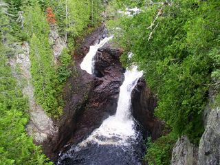 Devil's KettleOfficial state park trail with long stairwayCook County, MN17 miE
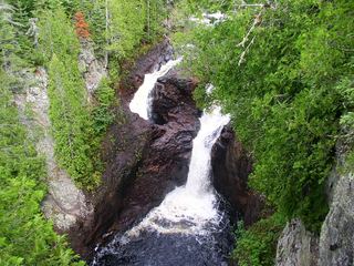 Devil's Kettle FallsState park trail with a long stairway; vehicle permit requiredCook County, MN17 miE
- Upper FallsOfficial park trail documentedCook County, MN17 miE
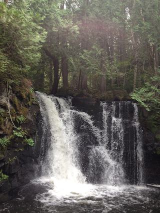 Johnson FallsCanoe-access trail documented; entry point parking and permit details unverifiedCook County, MN23 miN