Upper Falls
Cook County, Minnesota
Your visit at a glance
- Waterfall height
- Not recorded
- Location
- Cook County, Minnesota
- Access status
- Official park trail documented
- The walk
- Under 1 mile each way (trail to Devil's Kettle is 1 mile one way)
- Ground & access
- Steep terrain, stairs, packed dirt and rock per the DNR map.
From the trailhead in Judge C.R. Magney State Park, hike along the Brule River on the Devil's Kettle Trail. The DNR map says the trail goes down about 175 stairs and past the Upper Falls on the way to the Devil's Kettle.
Plan your visit
Devil's Kettle Trail along the Brule River to the Upper Falls
The DNR lists the Devil's Kettle Trail as 1 mile one-way and says it passes the Upper Falls. The exact distance to the Upper Falls is not published.
Steep terrain, stairs, packed dirt and rock per the DNR map.
Where to start
Trailhead parking in Judge C.R. Magney State Park off Highway 61 northeast of Grand Marais.
Timing & water
Park open year round for day use; the campground is open May to October.
Before you go
Minnesota state park vehicle permit required; the DNR map says to buy it at the pay station at the trailhead.
Visitor informationVisit sources
More waterfalls nearby
Within 40 straight-line miles. Road and trail distances will differ.
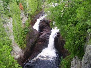 Devil's KettleOfficial state park trail with long stairwayCook County, MN0.1 miNW
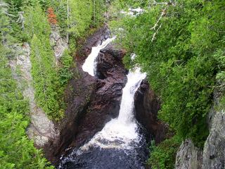 Devil's Kettle FallsState park trail with a long stairway; vehicle permit requiredCook County, MN0.1 miNW
- Barrier Falls20 ft (6 m) · Cook County, MN12 miW
- Fall River WaterfallPartial guide: parking permission and land status of the short path are unconfirmedCook County, MN17 miW
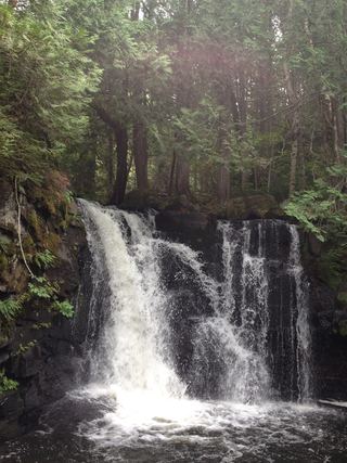 Johnson FallsCanoe-access trail documented; entry point parking and permit details unverifiedCook County, MN19 miNW
- Hidden FallsCook County, MN23 miW
- The CascadesState park loop trail with published distanceCook County, MN24 miW
- Cascade FallsOfficial park loop documentedCook County, MN24 miW
- Rose FallsDocumented wilderness trail; free day permit; distance figures differCook County, MN26 miNW