The Cascades
Cook County, Minnesota
Your visit at a glance
- Waterfall height
- Not recorded
- Location
- Cook County, Minnesota
- Access status
- State park loop trail with published distance
- The walk
- About 0.5 mile loop
- Ground & access
- Hilly, packed dirt and bare rock, per the DNR map.
In Cascade River State Park, start near the mouth of the Cascade River on Highway 61. Walk the Cascade River Lower Loop up the river to the Cascades Overlook, a series of five small waterfalls, and Cascade Falls. Footbridges cross the river. Return on the loop.
Plan your visit
Cascade River State Park, Highway 61 parking near the river mouth, on the Cascade River Lower Loop to the Cascades Overlook
The DNR park map gives the Cascade River Lower Loop as a 0.5-mile loop that reaches the Cascades Overlook and Cascade Falls.
Hilly, packed dirt and bare rock, per the DNR map.
Where to start
North Shore Visitor says parking is at the mouth of the river and also within the park, one-third mile northeast on Highway 61.
Timing & water
Park open 8 a.m. to 10 p.m. daily per the DNR map. Rock is slippery when wet or icy.
Before you go
The DNR map says vehicle permits are required, bought at the park office or entrance kiosk. Whether the roadside lot at the river mouth needs one is not stated.
Visitor informationVisit sources
More waterfalls nearby
Within 40 straight-line miles. Road and trail distances will differ.
- Cascade FallsOfficial park loop documentedCook County, MN0.1 miS
- Hidden FallsCook County, MN2.3 miN
- Fall River WaterfallPartial guide: parking permission and land status of the short path are unconfirmedCook County, MN6.7 miE
- Poplar River FallsResort and county tourism route to the trail bridge above the fallsCook County, MN9.7 miW
- Barrier Falls20 ft (6 m) · Cook County, MN12 miNE
- Hidden FallsState park map route to a viewing deckCook County, MN19 miSW
 Cross River FallsRoadside wayside and bridge viewpointsCook County, MN21 miSW
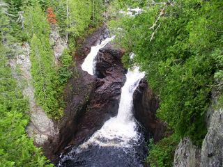 Devil's KettleOfficial state park trail with long stairwayCook County, MN24 miE
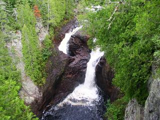 Devil's Kettle FallsState park trail with a long stairway; vehicle permit requiredCook County, MN24 miE