Cross River Falls
Cook County, Minnesota
Your visit at a glance
- Waterfall height
- Not recorded
- Location
- Cook County, Minnesota
- Access status
- Roadside wayside and bridge viewpoints
- The walk
- Short walk from the wayside to the bridge
- Ground & access
- Paved wayside, sidewalk and stairway. The gorge descent is steep and informal.
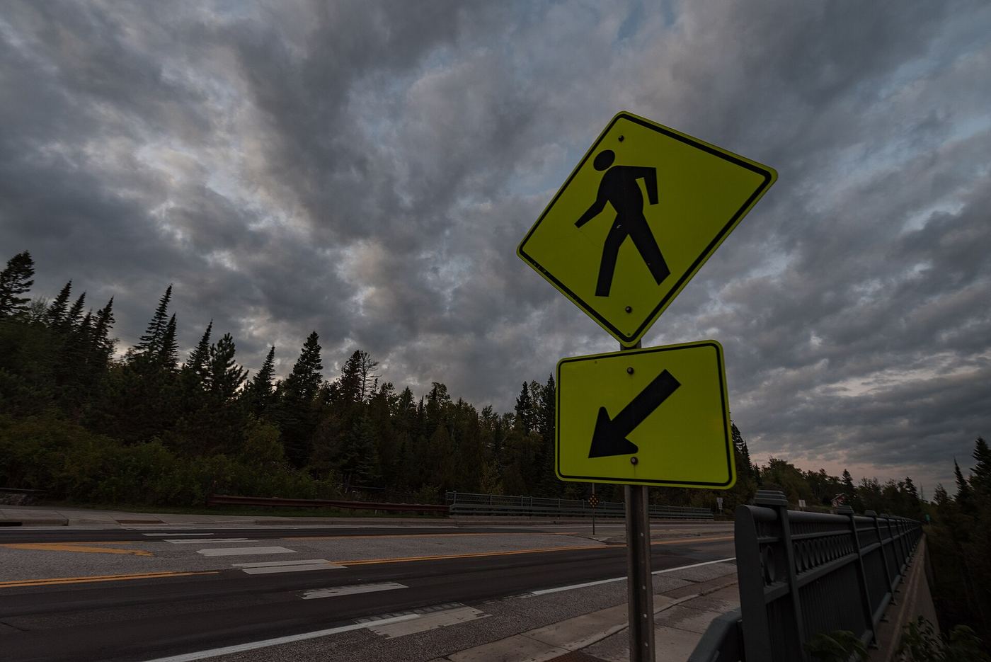
Photo credit
Photo: Tony Webster from Minneapolis, Minnesota, United States, CC BY-SA 2.0, via Wikimedia CommonsHighway 61 crosses the Cross River right over the falls in Schroeder. Park at the wayside on the southwest side of the river and walk onto the bridge to see the upper falls. Go Waterfalling also describes a stairway on the lake side of the road to a view area about halfway down the falls. A rough climb into the gorge from an abandoned lot on the northeast side is described, but it is not a maintained trail.
Plan your visit
Cross River wayside on Highway 61 in Schroeder to the bridge and pedestrian viewpoints
No measured distance is published. Go Waterfalling describes parking beside the river and walking across the bridge.
Paved wayside, sidewalk and stairway. The gorge descent is steep and informal.
Where to start
Wayside parking on the southwest side of the river at mile 79.0 of Highway 61, with restrooms and picnic tables per North Shore Visitor.
Timing & water
Roadside wayside; winter ice on stairs and rock is likely.
Before you go
No fee or reservation is mentioned in the sources read.
Visitor informationMore waterfalls nearby
Within 40 straight-line miles. Road and trail distances will differ.
- Hidden FallsState park map route to a viewing deckCook County, MN1.4 miNE
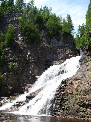 Caribou FallsOfficial wayside trail to falls base; seasonal waysideLake County, MN8.2 miSW
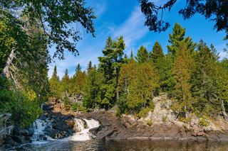 Manitou CascadesState park trail; steep with stairs; vehicle permit required30 ft (9 m) · Lake County, MN11 miW
- Poplar River FallsResort and county tourism route to the trail bridge above the fallsCook County, MN12 miNE
- Illgen FallsShort trail from a roadside pull-off39 ft (12 m) · Lake County, MN20 miSW
- Kramer’s Choice RapidLake County, MN20 miSW
- High FallsState park trail with many steps; permit rule not confirmed62 ft (19 m) · Lake County, MN20 miSW
- Two Step FallsState park trail and 175 stairs; permit rule not confirmed13 ft (4 m) · Lake County, MN20 miSW
- The CascadesPartial guide: a reported indefinite trail closure has not been confirmed or clearedLake County, MN20 miSW