High Falls
Lake County, Minnesota
Your visit at a glance
- Waterfall height
- 62 ft (19 m)
- Location
- Lake County, Minnesota
- Access status
- State park trail with many steps; permit rule not confirmed
- The walk
- About 0.7 mile one way, 1.4 miles return
- Ground & access
- Strenuous. Steep in places with many wooden steps; one viewpoint on the far side needs 157 steps down to the river.
High Falls on the Baptism River is about 70 feet tall. Drive the campground road across the river on the wooden bridge, past Center parking, to the trailhead lot signed High Falls Trail. The trail climbs sharply and meets the Superior Hiking Trail; go right along the west side of the river. After about 15 minutes you reach a wooden overlook. Steps lead down to more platforms and a suspension bridge with further viewpoints on the far side. Return the same way.
Plan your visit
Tettegouche State Park: High Falls Trail from the trailhead parking lot past the campground, joining the Superior Hiking Trail to the High Falls overlooks
Northern Wilds gives 1.4 miles round trip to High Falls from Trailhead Parking and says to add 1.5 miles if you park at the State Rest Area. The one-way figure is half of that.
Strenuous. Steep in places with many wooden steps; one viewpoint on the far side needs 157 steps down to the river.
Where to start
Trailhead parking lot at the end of the campground road past Center parking in Tettegouche State Park. Parking at the State Rest Area on Highway 61 adds about 1.5 miles return.
Timing & water
No seasonal details confirmed. The article was published in 2015 and updated in 2019.
Before you go
Inside a Minnesota state park. The current vehicle permit rule for Tettegouche was not confirmed from a source read.
Visitor informationVisit sources
More waterfalls nearby
Within 40 straight-line miles. Road and trail distances will differ.
- Two Step FallsState park trail and 175 stairs; permit rule not confirmed13 ft (4 m) · Lake County, MN0.3 miSE
- Illgen FallsShort trail from a roadside pull-off39 ft (12 m) · Lake County, MN0.6 miN
- The CascadesPartial guide: a reported indefinite trail closure has not been confirmed or clearedLake County, MN0.6 miS
- Kramer’s Choice RapidLake County, MN0.9 miNW
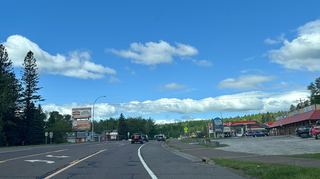 Beaver FallsRoadside view from the Highway 61 bridge walkwayLake County, MN7.5 miSW
- Glenn Avon FallsVisitor directions documented; land ownership and parking permission unconfirmedLake County, MN8.6 miSW
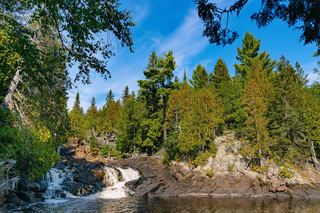 Manitou CascadesState park trail; steep with stairs; vehicle permit required30 ft (9 m) · Lake County, MN11 miNE
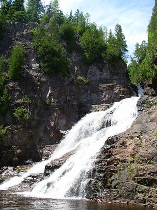 Caribou FallsOfficial wayside trail to falls base; seasonal waysideLake County, MN12 miNE
- Upper FallsShort accessible state park trail from the visitor center33 ft (10 m) · Lake County, MN19 miSW