Manitou Cascades
Lake County, Minnesota
Your visit at a glance
- Waterfall height
- 30 ft (9 m)
- Location
- Lake County, Minnesota
- Access status
- State park trail; steep with stairs; vehicle permit required
- The walk
- About 1 mile one way, 2 miles return
- Ground & access
- Steep terrain, bare dirt, rock and stairs. Rocky footing.
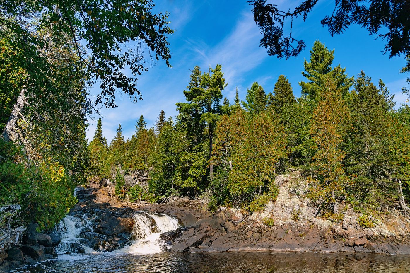
Photo credit
Photo: Tony Webster from Minneapolis, Minnesota, United States, CC BY 2.0, via Wikimedia CommonsThe Manitou Cascades are a series of drops on the Manitou River in George H. Crosby Manitou State Park, a rugged wilderness park reached on County Road 7 from Finland. From the parking lot, hike down the Middle Trail to views of the cascades and the river. Return the way you came.
Plan your visit
George H. Crosby Manitou State Park main parking area via the Middle Trail to the Cascades of the Manitou River
The Minnesota DNR park map lists Cascades Waterfall as 1 mile one-way. The return figure is double that.
Steep terrain, bare dirt, rock and stairs. Rocky footing.
Where to start
Main park parking lot. The park map says winter parking is at the registration kiosk.
Timing & water
The map suggests the Middle Trail for snowshoeing in winter (ungroomed). No other seasonal limits were confirmed.
Before you go
A Minnesota state park vehicle permit is required; the park map says to buy it at the entrance kiosk.
Visitor informationVisit sources
More waterfalls nearby
Within 40 straight-line miles. Road and trail distances will differ.
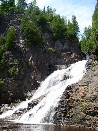 Caribou FallsOfficial wayside trail to falls base; seasonal waysideLake County, MN3.7 miE
- Kramer’s Choice RapidLake County, MN10 miSW
- Illgen FallsShort trail from a roadside pull-off39 ft (12 m) · Lake County, MN10 miSW
 Cross River FallsRoadside wayside and bridge viewpointsCook County, MN11 miE
- High FallsState park trail with many steps; permit rule not confirmed62 ft (19 m) · Lake County, MN11 miSW
- Two Step FallsState park trail and 175 stairs; permit rule not confirmed13 ft (4 m) · Lake County, MN11 miSW
- The CascadesPartial guide: a reported indefinite trail closure has not been confirmed or clearedLake County, MN11 miSW
- Hidden FallsState park map route to a viewing deckCook County, MN12 miNE
 Beaver FallsRoadside view from the Highway 61 bridge walkwayLake County, MN18 miSW